
Tour data
13.03km
505
- 776m
321hm
302hm
03:49h
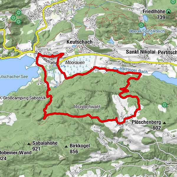
- Route
-
Schelesnitz0.3 kmBuschenschank Jaritz5.8 kmWurdach5.9 kmMüllnerquelle9.6 kmDobeinitz11.7 kmVanda12.7 km
- Highest point
- 776 m
GPS Downloads


Other tours in the regions


