- Brief description
-
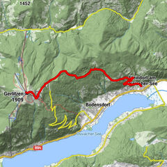
A historically interesting mountain tour up to a peak with great views, directly on the border.
- Difficulty
-
medium
- Rating
-
- Starting point
-
Baumgarnterhof
- Route
-
Rotschitzawasserfall1.2 kmRotschitzawasserfall6.9 km
- Best season
-
JanFebMarAprMayJunJulAugSepOctNovDec
- Description
-
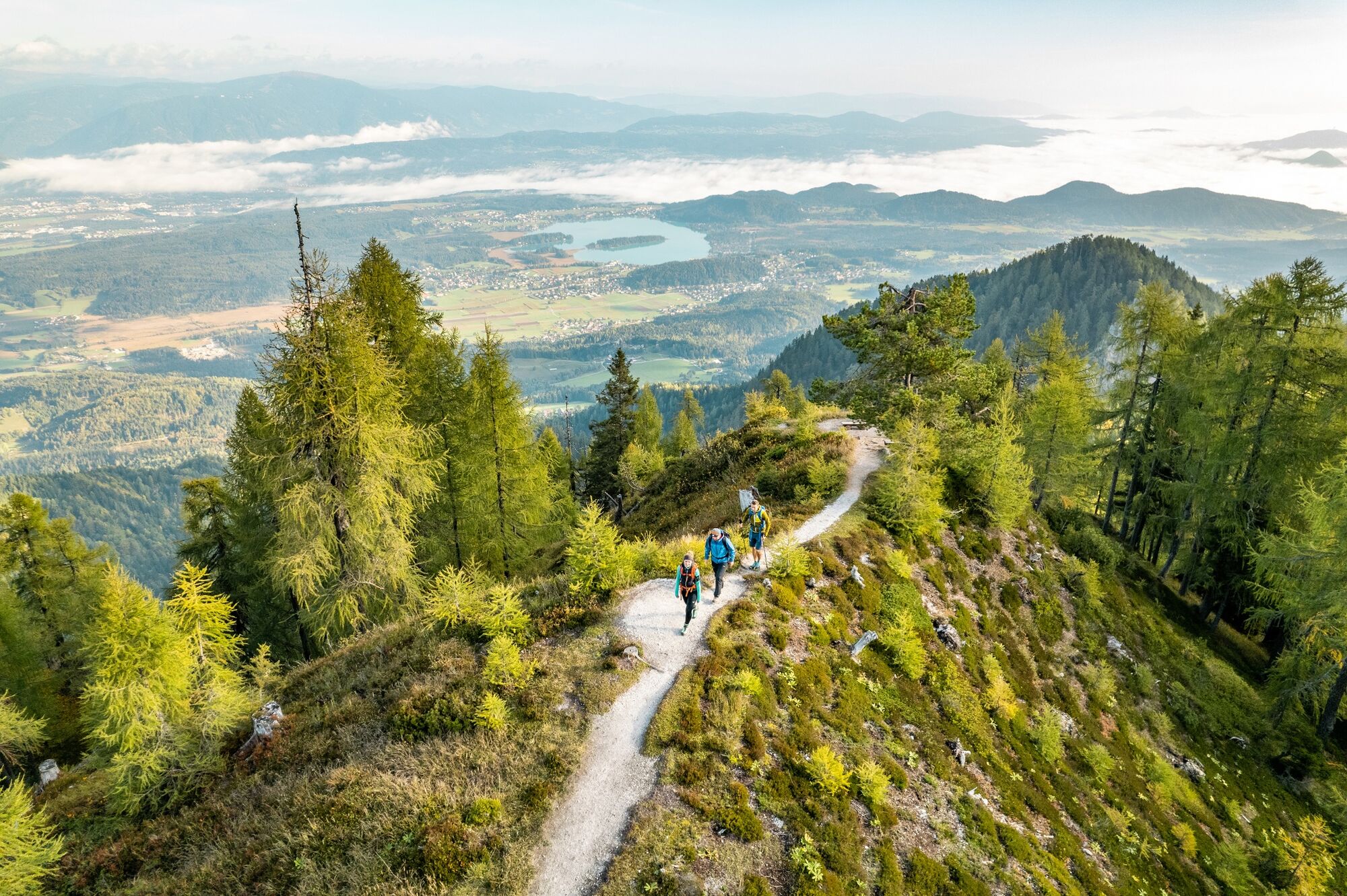
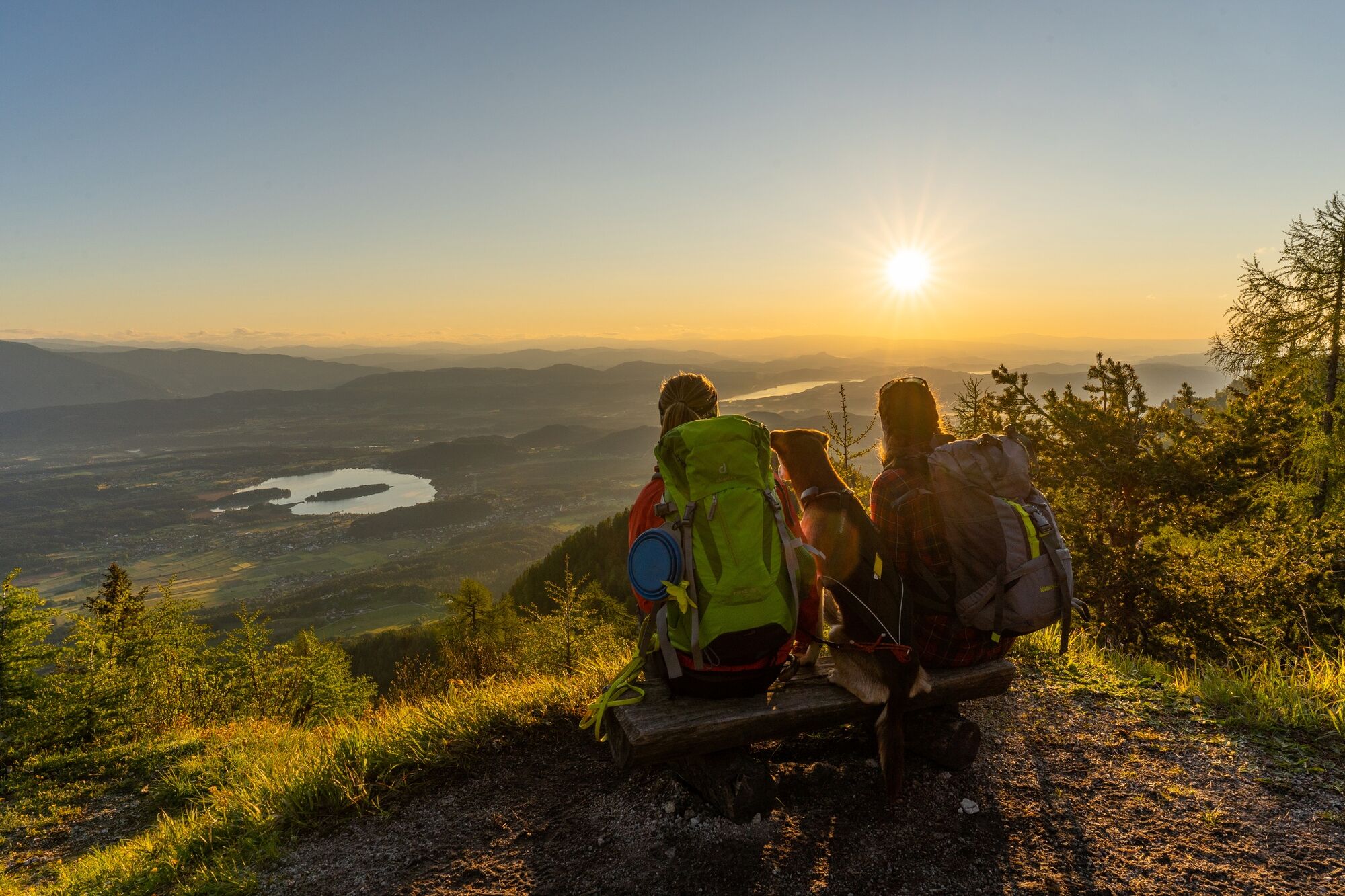
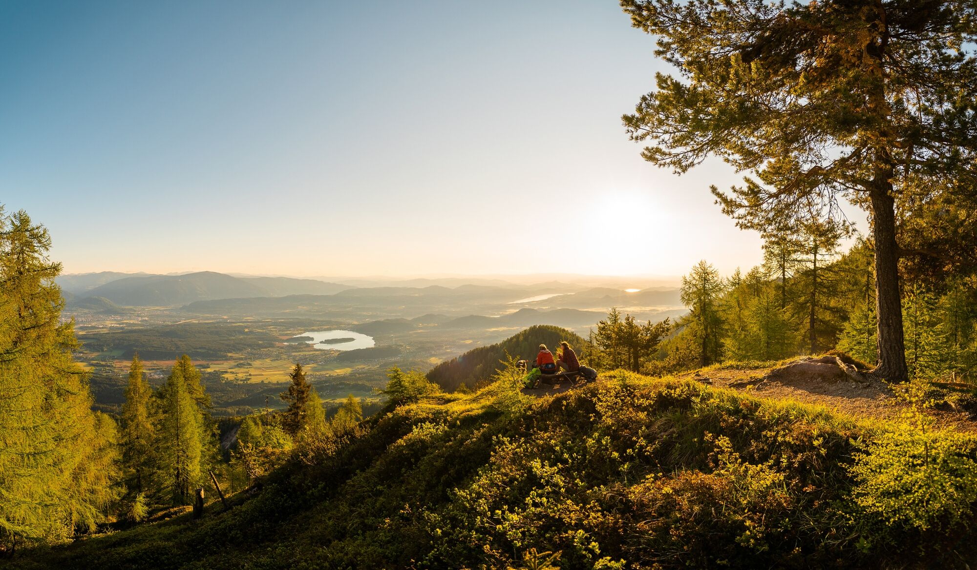
Hike up to the beautiful mountain "Mallestiger Mittagskogel" - one of the favourite hiking tours for locals, which can be done in a half a day. The last bit leads along the history path of the custom officials.
- Directions
-
Starting at the Gasthof Baumgartner, follow the hiking path 683. You will pass two springs and come to the first hut - the "Panier Hut". After approx. 30 min. you will reach the "Mitzl-Moitzl-Hütte" at 1,639 m. From this hut you can reach the area between Schwarzkogel and Mallestiger Mittagskogel directly at the state border in about 15 minutes. From there you follow the path 684 westwards to the summit of the Mallestiger Mittagskogel 1,801 m. The last 30 metres are not secured and you need to be free from giddiness be and sure-footed.
The descent follows the same route.
- Highest point
- 1,813 m
- Endpoint
-
Mallestiger Mittagskogel
- Height profile
-

- Equipment
-
Hiking boots, rucksack, functional clothes, rain protection, hiking sticks, food, drinking water, map, first aid kit and a smartphone.
- Safety instructions
-
There is an emergeny shelter at a hut called Mitzl-Moitzl-Hütte which can be used in case of bad weather.
- Tips
-
Once you are up you could also go to the Schwarzkogel (slov: Crni vrh - 1832m).
- Directions
-
From the A2 motorway exit Villach - Faaker See drive on the B84 towards Drobollach am Faaker See. In Drobollach turn right to Faak am See and follow the course of the Kohlstattstraße. After you have passed the tourist information office Faak am See , turn right towards Finkenstein and at the roundabout (Harley Davidson sculpture) take the third exit to Latschach. In Latschach, shortly after entering the village, turn right onto the Altfinkensteiner Straße and follow the road up to the Baumgartnerhof.
- Public transportation
- Parking
-
There is a parking area at the Baumgartnerhof - but we would advise you to park at the parking area of the castle Finkenstein below the Baumgartnerhof. However, this adds up 30 minutes of walking time.

- Author
-
The tour Mallestiger Mittagskogel is used by outdooractive.com provided.