Winter
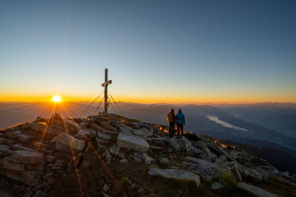
Summer
Weather
Webcams
Accommodations
Tours
Search history
Search suggestions
No results found
Search
Tours
Home
Summer Österreich
Carinthia
Tours
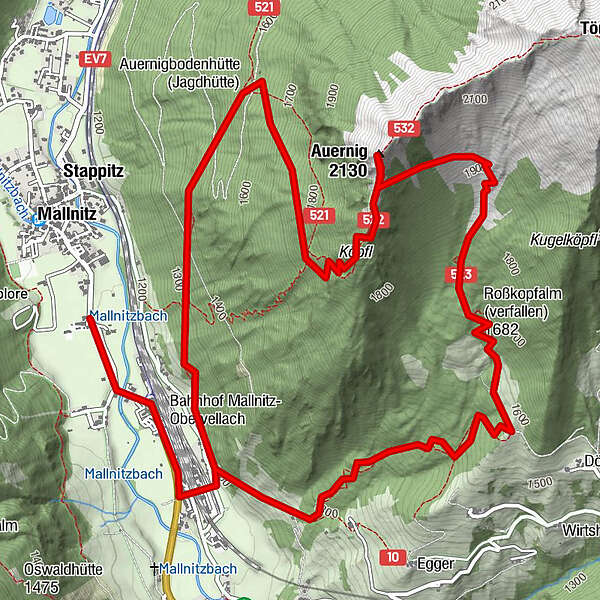
ks9b Mallnitz-Auernig langer
Regions
Weather
Webcams
Tours
Highlights
Bathing lakes
Accommodations
Offers
Sports provider
Events
Ski resorts
Cross-country skiing
Snow parks
ks9b Mallnitz-Auernig langer
Hiking
Bookmark
Map
show
hide
Print
Tour data
9.8
km
1,175 - 2,074
m
Distance
930
hm
931
hm
Ascent
02:30
h
Duration
hedgehog1
created am 16.04.2014
603
Views
Difficulty
difficult
Rating
Technique
Fitness
Landscape
Experience
Highest point
2,074 m
Write a review
Overall rating
5
0
%
4
0
%
3
0
%
2
0
%
1
0
%
Reviews
(0)
0 Comments
Write a review
Error
An error has occurred. Please try again.
Thank you for your review
Rating has been deleted
Report tour
GPS Downloads
GPX
GPS Exchange Format (XML)
KML
Google Earth, Google Maps
QR Download Codes for Mobile Phones
ks9b Mallnitz-Auernig langer
QR Codes - tour download for cell phones
GPX
KML
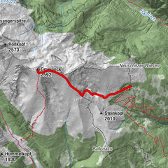
Other tours in the regions
Hohe Tauern - die Nationalpark-Region / Outdoorpark Oberdrautal
2486
Mallnitz - Ankogel
199
Popular tours in the area
Großer Hafner 3076m
medium
Hiking
17.3
km |
1700
hm |
06:30
h
Bergfriedhütte - Gmeineck
medium
Hiking
7.41
km |
784
hm |
03:13
h
Gasteinertal: Gamskarkogel
Hiking
5.66
km |
1380
hm |
08:00
h
Teuchlspitz
medium
Hiking
10.85
km |
1027
hm |
05:00
h
No entries found.
The search is currently not available.
Please refine your search.
Local search results
(<= 25km)
More results
(> 25km)
%count% Search results
%name%
%type%
%elevation%
%population%
%lpButton%