Schönfeld - Schilcher- und Klölingnock im Biosphärenpark Nockberge

Hiking

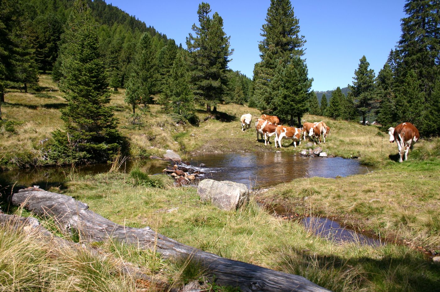
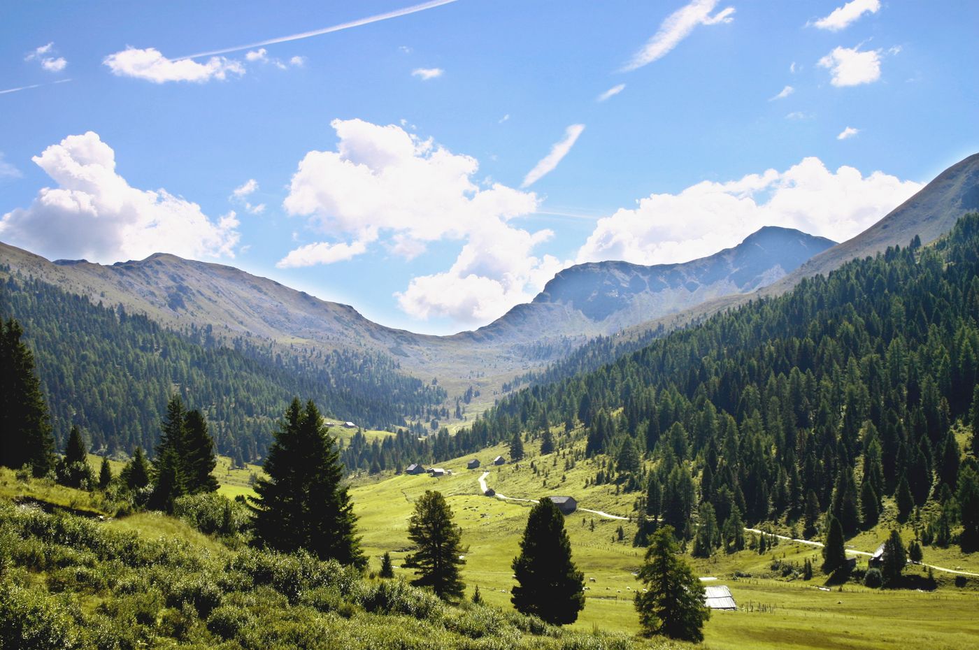
© Tourismusverband Lieser- und Maltatal

© Tourismusverband Lieser- und Maltatal
Tour data
9.02km
1,739
- 2,243m
602hm
603hm
03:00h

- Brief description
-
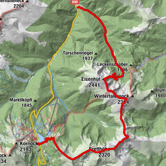
Ausgehend von Schönfeld begeben wir uns in eine abwechslungsreiche Gegend der "Nocken".
- Difficulty
-
medium
- Rating
-
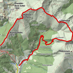
- Route
-
Klöllingscharte (2,116 m)2.7 kmKlölingnock (2,178 m)4.0 kmSchilchernock (2,270 m)5.4 km
- Best season
-
JanFebMarAprMayJunJulAugSepOctNovDec
- Highest point
- 2,243 m
GPS Downloads


Trail conditions
Asphalt
Gravel
Meadow
Forest
Rock
Exposed
Other tours in the regions