
- Brief description
-
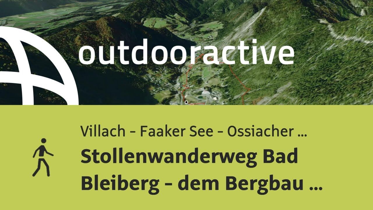
A short and easy theme walk to discover the mining history of Bad Bleiberg.
- Difficulty
-
easy
- Rating
-
- Starting point
-
Near the entrance of "Rublandstollen," Terra Mystica Driveway
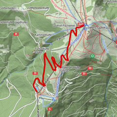
- Route
-
Bleiberg-Kreuth1.3 kmBleiberg-Nötsch3.2 km
- Best season
-
JanFebMarAprMayJunJulAugSepOctNovDec
- Description
-
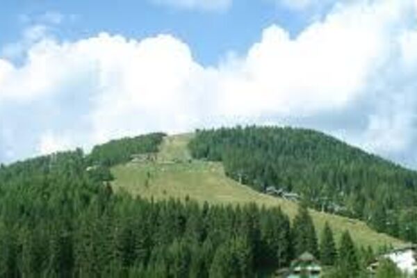
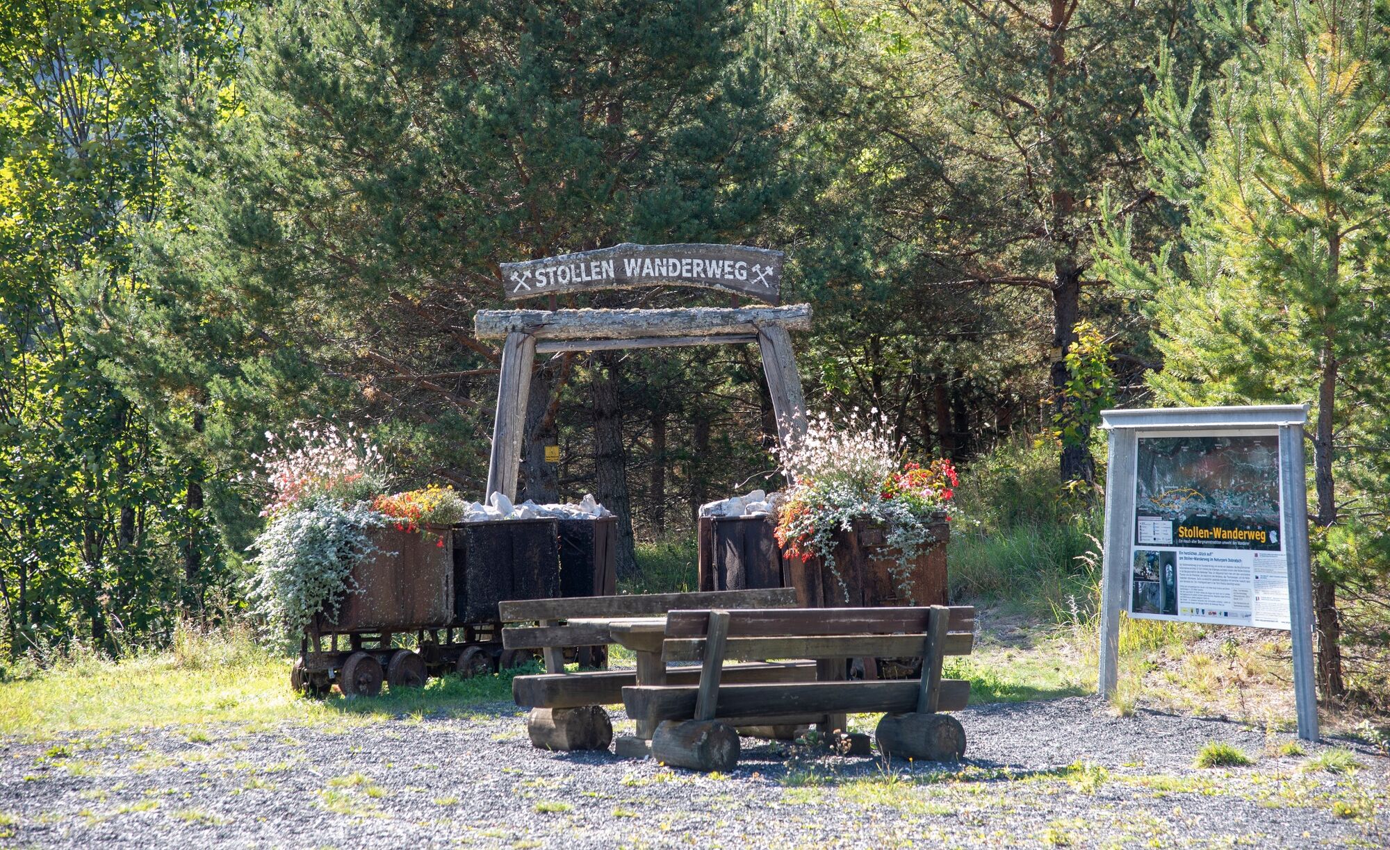
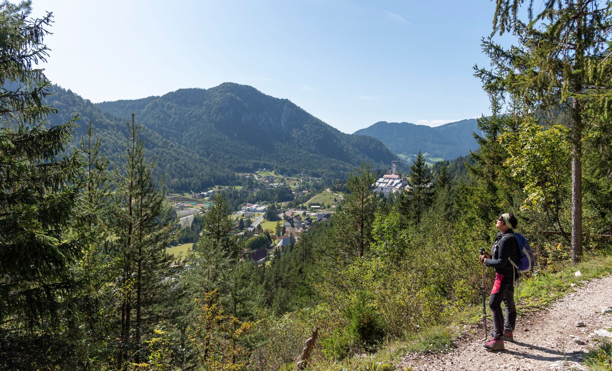
The tunnel hike begins below the public "Terra Mystica" mine and is a loop tour that was designed by the idealists of the Mining Culture Association (Bergmännisch Kulturverein). The hike takes you along the Erzberg mine and provides you with insight into the mining tradition of the Bleiberg Valley.
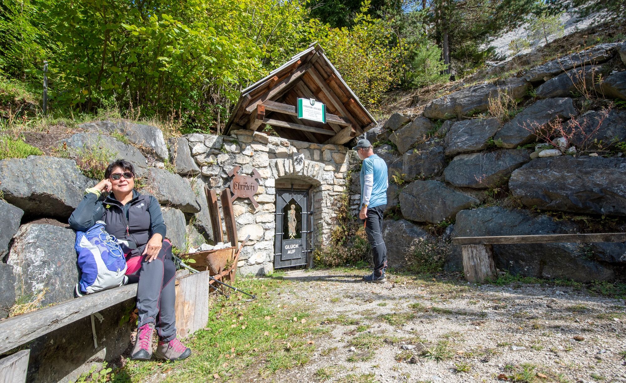
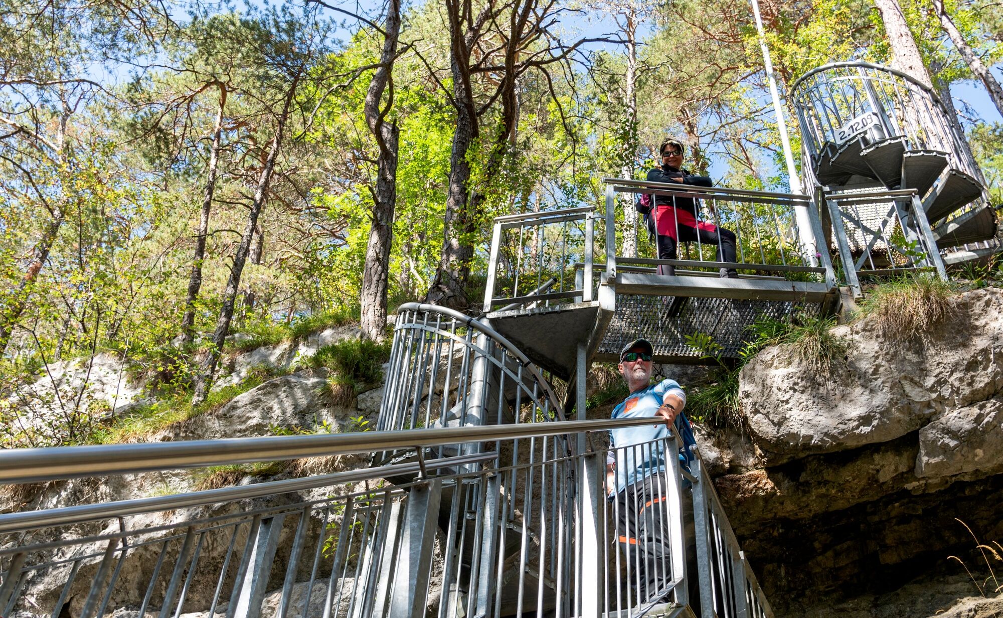
During the hike you will learn about a variety of subjects relating to the mine: minerals, history of the mines, the thermal springs, and the healthy climate tunnels. There are six wonderful rest places along the way with magnificent views. You can also visit the underground world in either "Terra Mystica" or "Terra Montana." You will take the 4,930 meter long service road all the way around the tunnel hike, staying around 1010 meters above sea level the whole way. Of the original 50 tunnels in the area, you can still visit 28. The entrances are marked with yellow signs. Signs also point you in the right direction the whole hike. All the tunnels are an impressive testimony to over 100 years of hardwork by miners, and show you just how impressive the mining tradition is in the Bleiberg Valley.
- Directions
-
The way is easy to follow - look out for the signs along the way.
- Highest point
- 1,041 m
- Endpoint
-
Rublandstollen near entrance, driveway Terra Mystica
- Height profile
-

- Equipment
-
Good walking shoes and a flashlight (absolutely necessary for the tunnels) .
- Tips
-
The public "Terra Mystica" mine will provide you with an incredible glimpse into the underground world!
- Additional information
- Directions
-
From Salzburg: A10 highway towards Spittal and Villach- exit at "Villach West." Take the first turn in the roundabout towards Villach. Follow the signs towards "Bad Bleiberg" on the L35 (Bleiberger Landesstrasse).
From Vienna: A2 highway towards Graz and Klagenfurt- change onto the A10 near Villach towards Salzburg. Exit at "Ossiacher See," take a left towards Villach. Drive further towards Spittal and follow the signs towards "Bad Bleiberg" on the L35 (Bleiberger Landesstrasse).
From Italy: A2 highway towards Villach- take the "Hermagor" exit right after crossing the border. Take a left towards Hermagor and Bad Bleiberg. Follow the signs towards "Bad Bleiberg" on the L35 (Bleiberger Landesstrasse).
- Public transportation
- Parking
-
Parking area "Terra Mystica"

- Author
-
The tour Stollenwanderweg - Miners´ Path is used by outdooractive.com provided.