
- Brief description
-
Diese Tour ist auch ein Teil des Oberlavanttaler Rundweges mit der Weg Nr. 08
- Difficulty
-
medium
- Rating
-
- Route
-
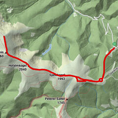
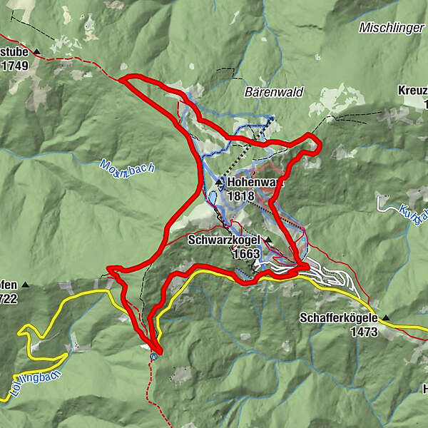
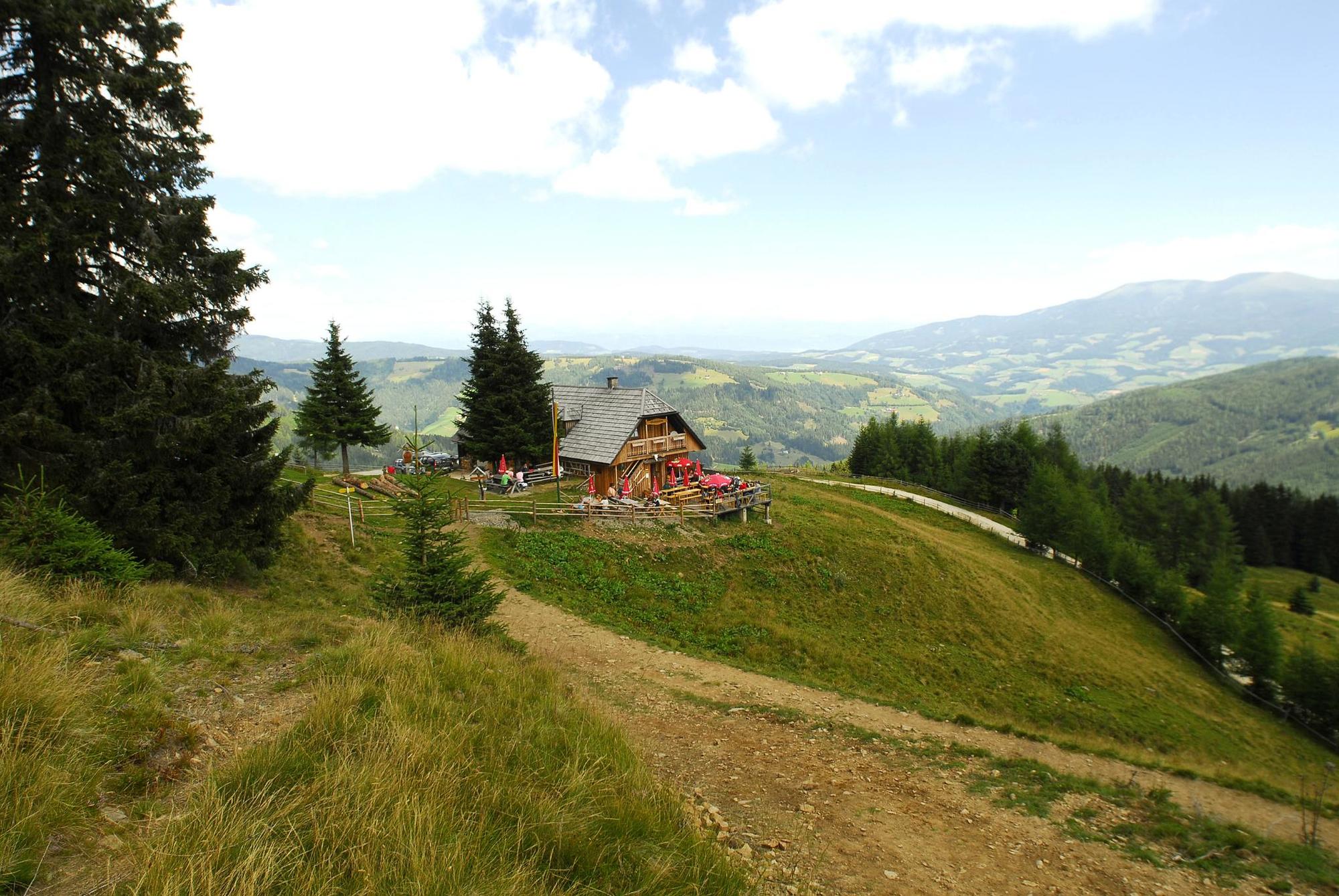
SeetalerhütteAlmhüttendorf KlippitztörlNaturfreundehaus2.2 kmGrünhütte7.9 kmBischof Hütten10.5 kmKuhgraben11.2 kmSchwarzkogel Hütte11.9 kmSchwartzkogel hütte11.9 kmKlippitztörl12.6 kmAlmhüttendorf Klippitztörl12.8 kmHochegger12.9 kmSeetalerhütte13.0 km
- Best season
-
JanFebMarAprMayJunJulAugSepOctNovDec
- Highest point
- 1,749 m
- Endpoint
-
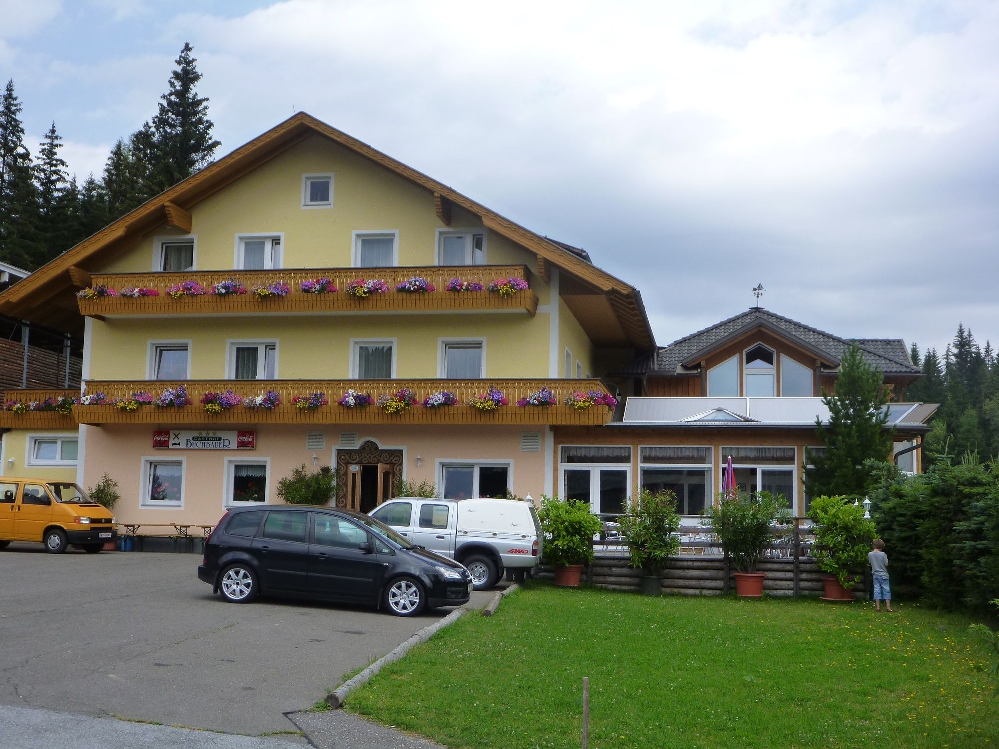
Parkplatz - Hotel Hochegger an der Klippitztörl Landesstrasse
- Height profile
-


- Author
-
The tour Rundweg - Klippitztörl - Klippitzrunde 1 is used by outdooractive.com provided.
GPS Downloads


General info
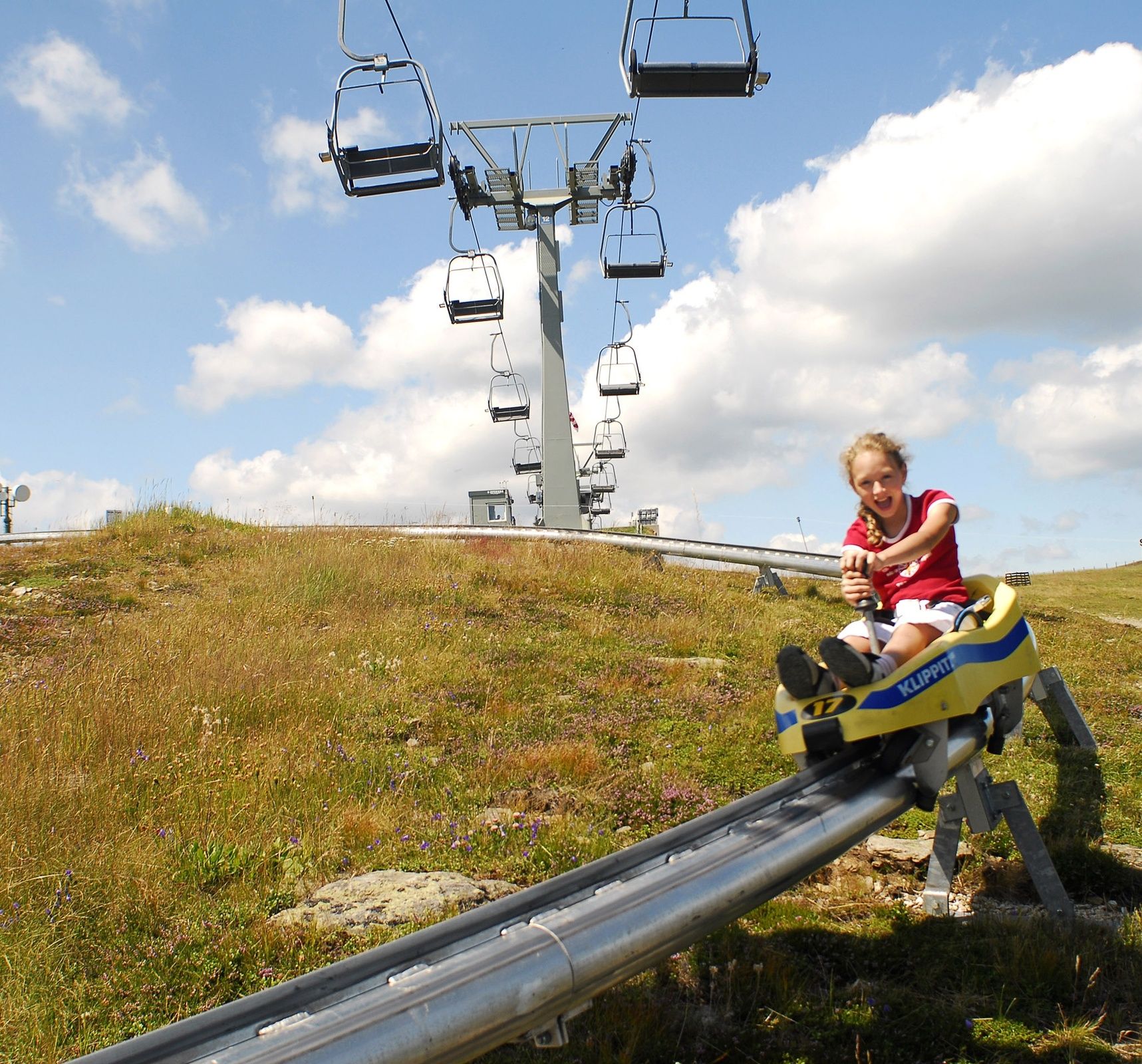
Refreshment stop
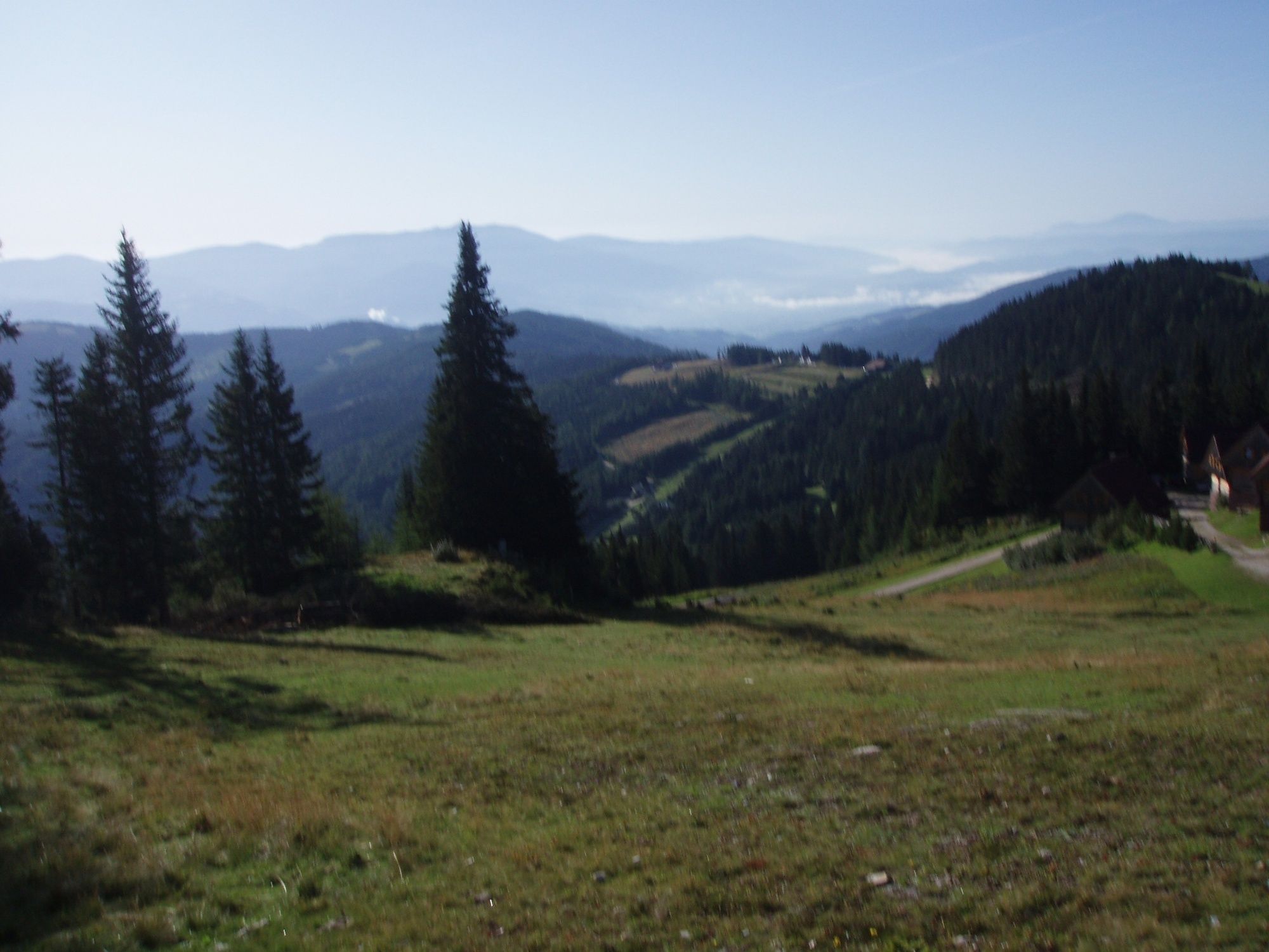
A lot of view
Other tours in the regions
-
Erlebnisregion Murtal
1782
-
Steirisches Zirbenland
711
-
Klippitztörl
145