© Hotel Kreuzwirt - Franz Aigner

- Difficulty
-
medium
- Rating
-
- Best season
-
JanFebMarAprMayJunJulAugSepOctNovDec
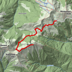
- Highest point
- 1,284 m
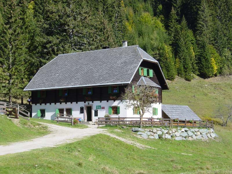
- Endpoint
-
Hermagorer Bodenalm
- Height profile
-

-

-
AuthorThe tour Hermagorer Bodenalm is used by outdooractive.com provided.
GPS Downloads


General info
Refreshment stop
Other tours in the regions