- Brief description
-
Geopoints are geologically and geomorphologically interesting points or areas in nature. This geopoint is located at the Geotrail Passo Pramollo wet field.
- Difficulty
-
medium
- Rating
-
- Route
-
Plattner0.0 kmKrone (1,832 m)4.2 km
- Best season
-
JanFebMarAprMayJunJulAugSepOctNovDec
- Description
-
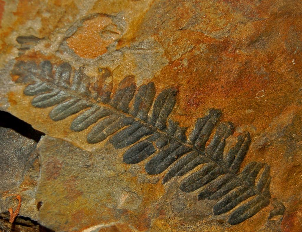
On the north-western slope of the crown there is a rich occurrence of plant imprints from the younger Carboniferous (about 300 million years before today). The famous plant find, which can be recognized from afar as a brown spot without vegetation, is located at an altitude of about 1,730 m in the central part of the plateau-like elevation of the crown, which can be seen from far away. The plant fossils can be found at the undpunkt in fine sandstones and the even finer siltstones. Besides clubmosses, horsetails (calamites), cordaites (now extinct conifers) and imprints of real ferns and seed ferns are represented. Everything suggests that this flora must have grown nearby and was not transported far. Presumably, it was a bog with trees in the immediate vicinity of the coast of the Tethys Sea.
- Highest point
- 1,840 m
- Endpoint
-
Alpenhotel Plattner
- Height profile
-

- Additional information
-
At the beginning of the 80s of the 19th century, a sensational find on the crown was an approximately one metre long and 90 cm thick trunk remnant of a seal tree, which was salvaged with great effort and finally found its final exhibition location in the Möderndorf local history museum.
- Directions
-
via the B90 Nassfeld main road to Nassfeld, at the top of the pass turn off towards Alpenhotel Plattner
- Public transportation
-
Journey to Tröpolach by public transport possible.
www.nassfeld.at/mobilitaet
- Author
-
The tour Geopunkt Krone (Start Alpenhotel Plattner) is used by outdooractive.com provided.