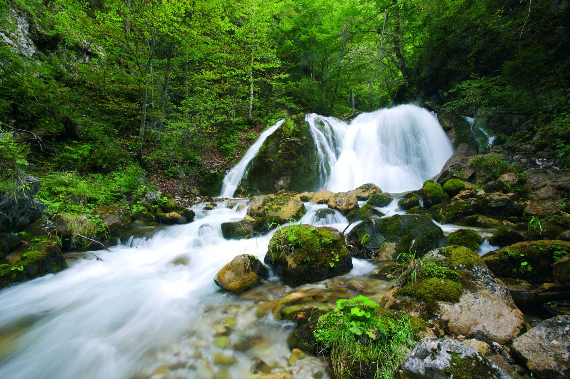
Wassererlebnisweg Hainschgraben

Logo Wassererlebnisweg Hainschgraben
Tour data
9.23km
672 - 1,109m
Distance
430hm
433hm
Ascent
04:15h
 
Duration
Difficulty
medium
Rating
Technique
Fitness
Landscape
Experience

Best season
Jan
Feb
Mar
Apr
May
Jun
Jul
Aug
Sep
Oct
Nov
Dec
Highest point
1,109 m
Height profile

Author
The tour Wassererlebnisweg Hainschgraben is used by outdooractive.com provided.

4,4
Overall rating

5

86

%

4

0

%

3

0

%

2

0

%

1

14

%

GPS Downloads
  • GPX GPS Exchange Format (XML)
  • KML Google Earth, Google Maps
QR Download Codes for Mobile Phones

General info

Refreshment stop
Insider tip
A lot of view
Other tours in the regions

Popular tours in the area

Hohe Gloriette

easy Hiking
5.17km | 65hm | 01:30h

Klopeiner See Tour: "Promenaden-Runde"

easy Hiking
5.27km | 33hm | 01:15h

Wandertour Bodental/Klagenfurter Hütte

medium Hiking
11.89km | 759hm | 05:30h

Hochobir

Hiking
2.68km | 540hm | 03:00h