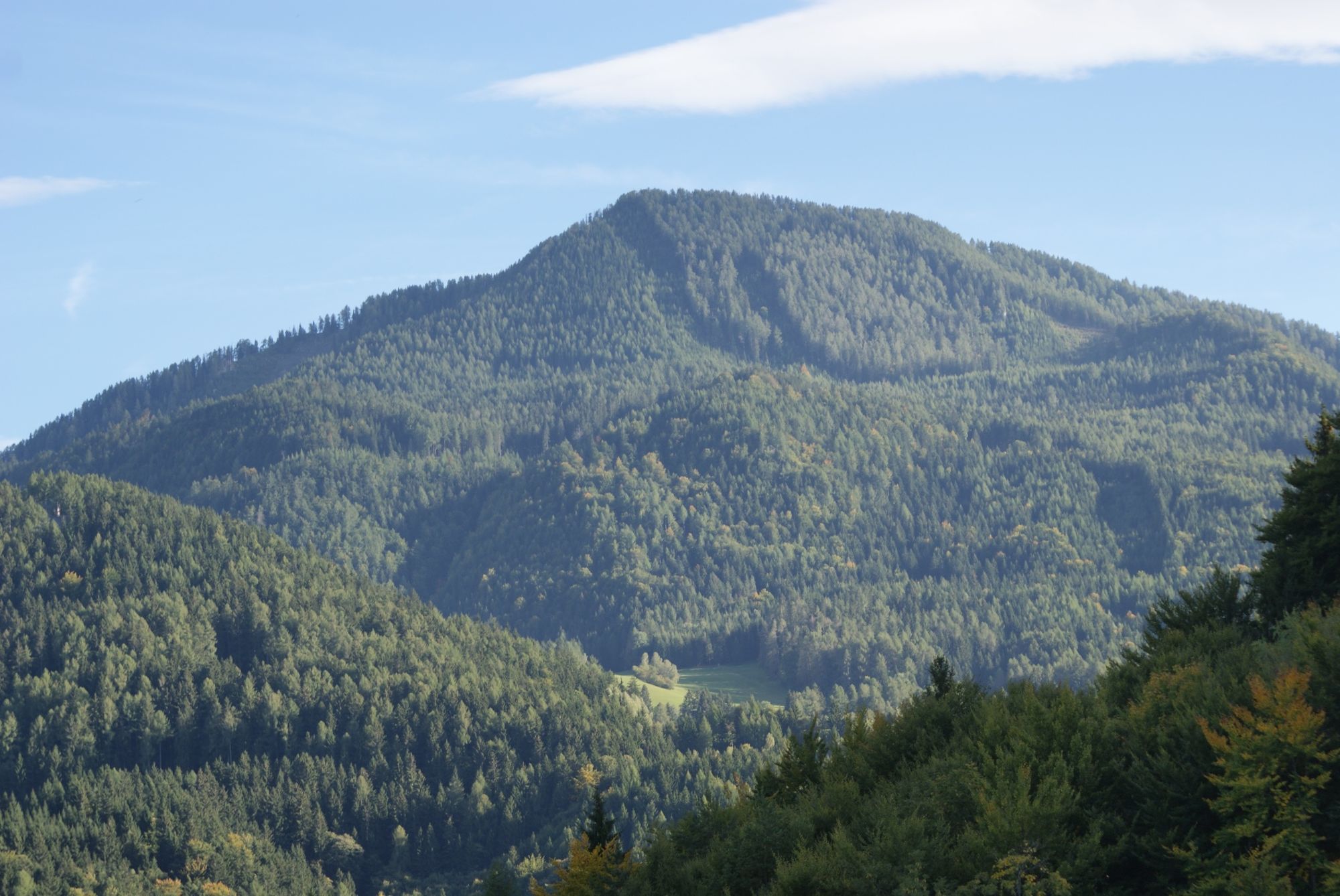
© Tourismusregion Klopeiner See – Südkärnten – Lavanttal - Robert Karlhofer
Tour data
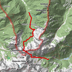
8.82km
1,069
- 1,634m
581hm
563hm
04:00h

- Brief description
-
HINWEIS: Zufahrt über Hochtal-Lobnig ab Wögl-Hof möglich.
Zufahrt über Leppen derzeit gesperrt. - Difficulty
-
medium
- Rating
-
- Route
-
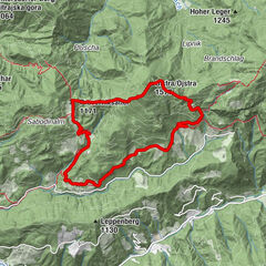
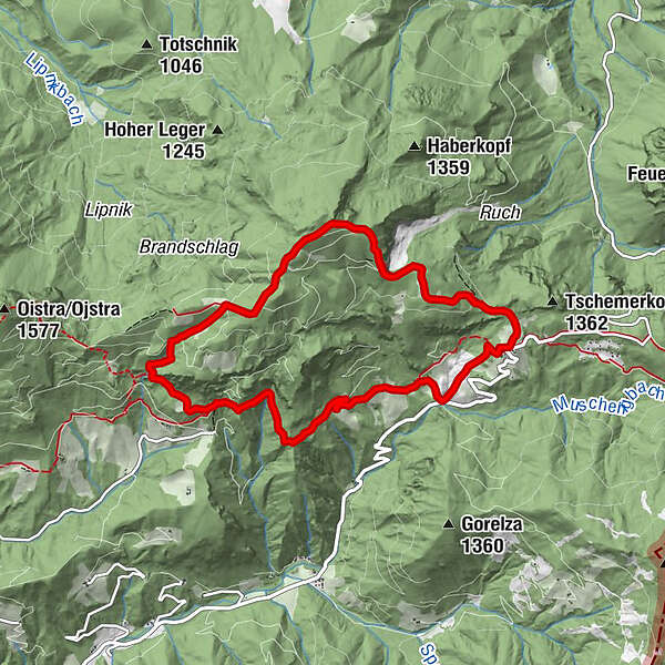
Topitza/Topica (1,649 m)2.2 kmGasthof Riepl8.8 km
- Best season
-
JanFebMarAprMayJunJulAugSepOctNovDec
- Highest point
- 1,634 m
- Endpoint
-
Topitza
- Height profile
-

- Author
-
The tour Die Topitza is used by outdooractive.com provided.
GPS Downloads


Other tours in the regions
-
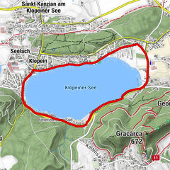
Klopeiner See - Südkärnten
1166
-
Koroška
162
-
Globasnitz
94