
- Brief description
-
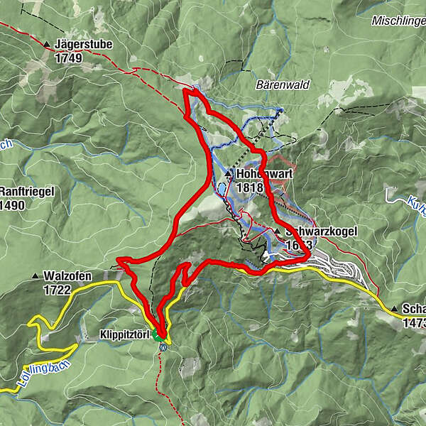
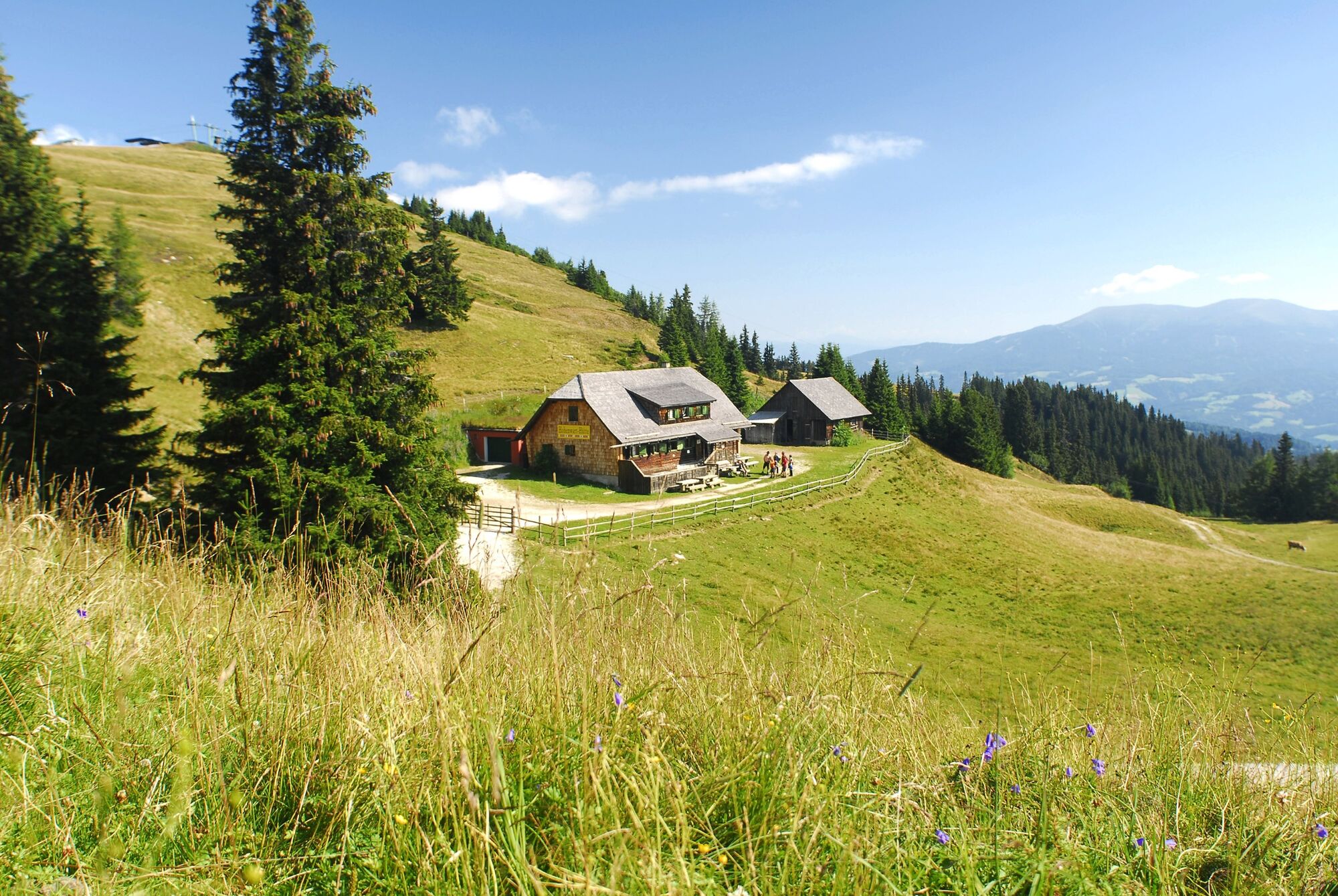
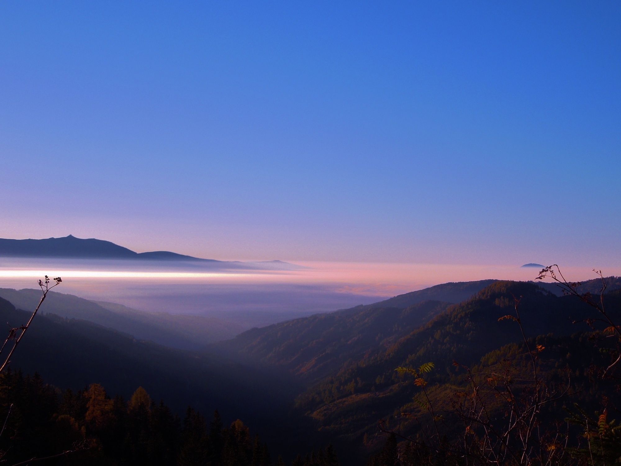
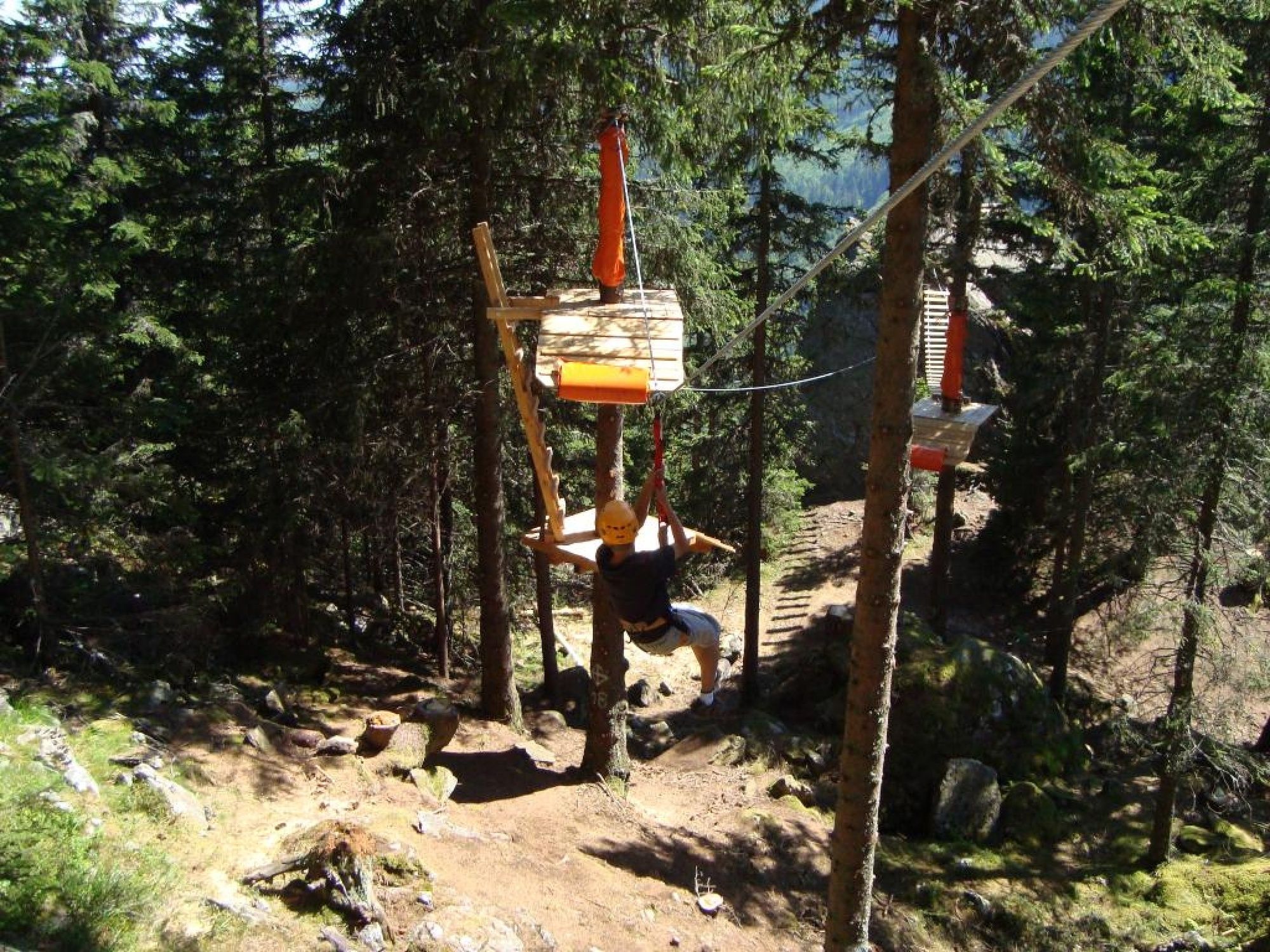
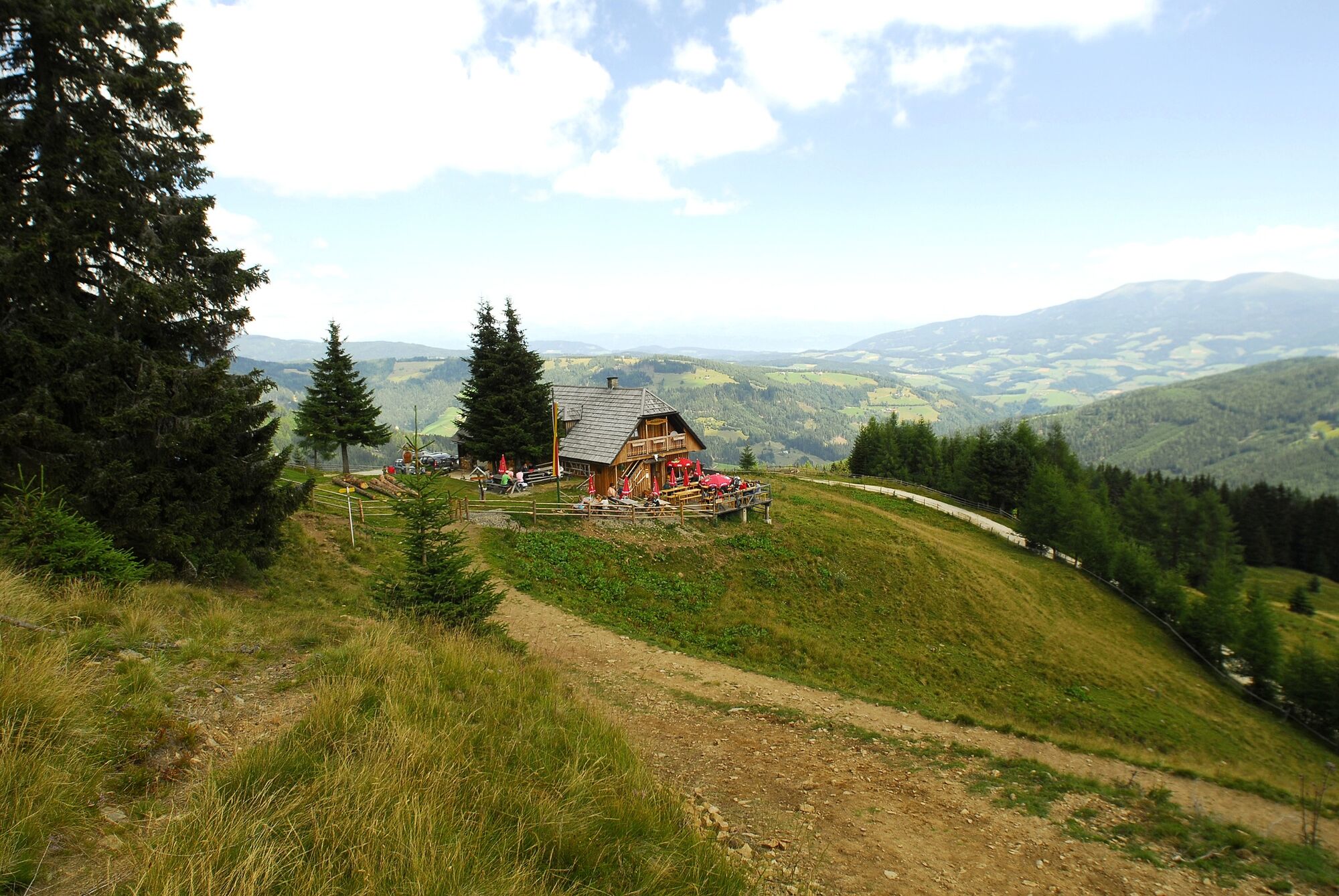
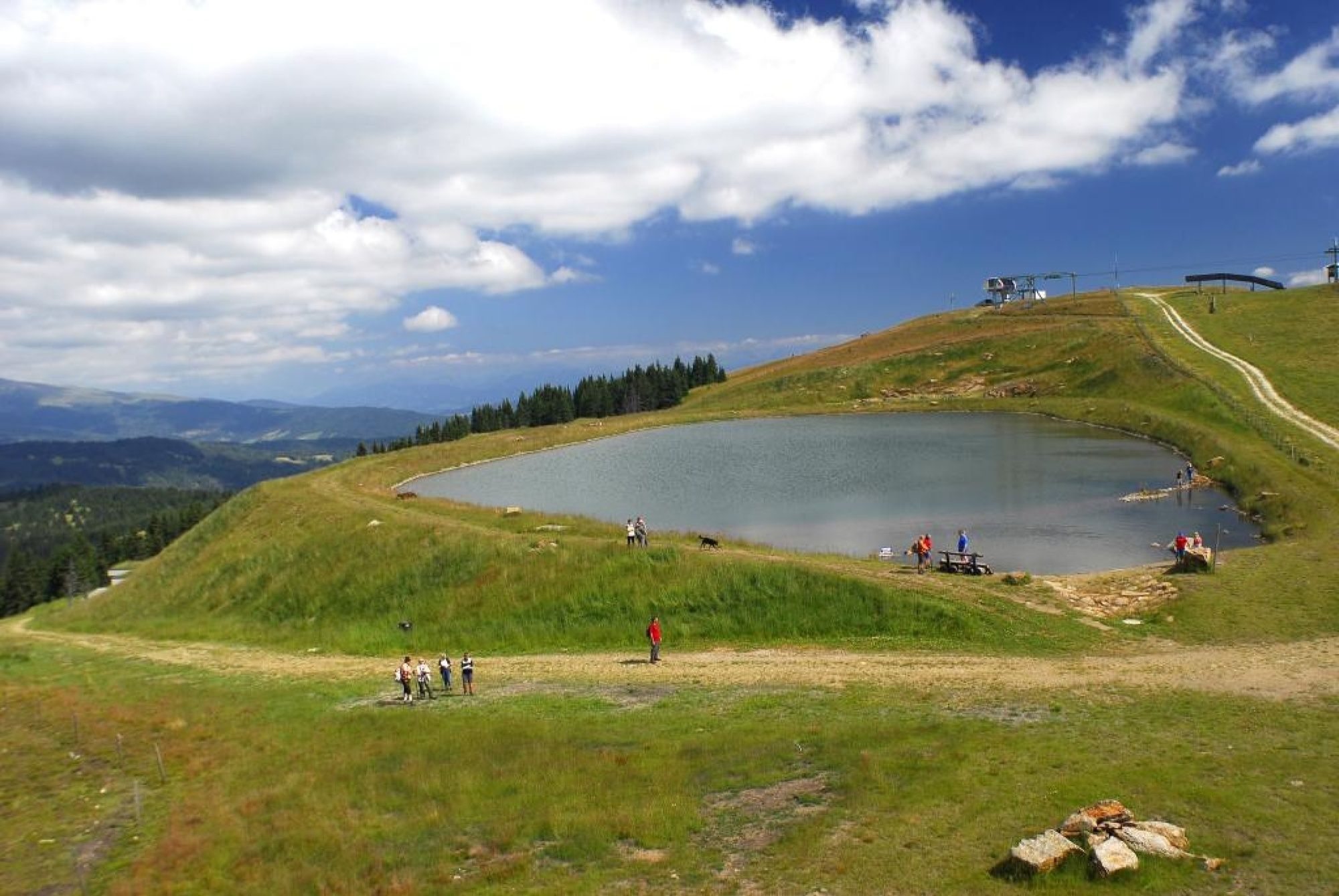
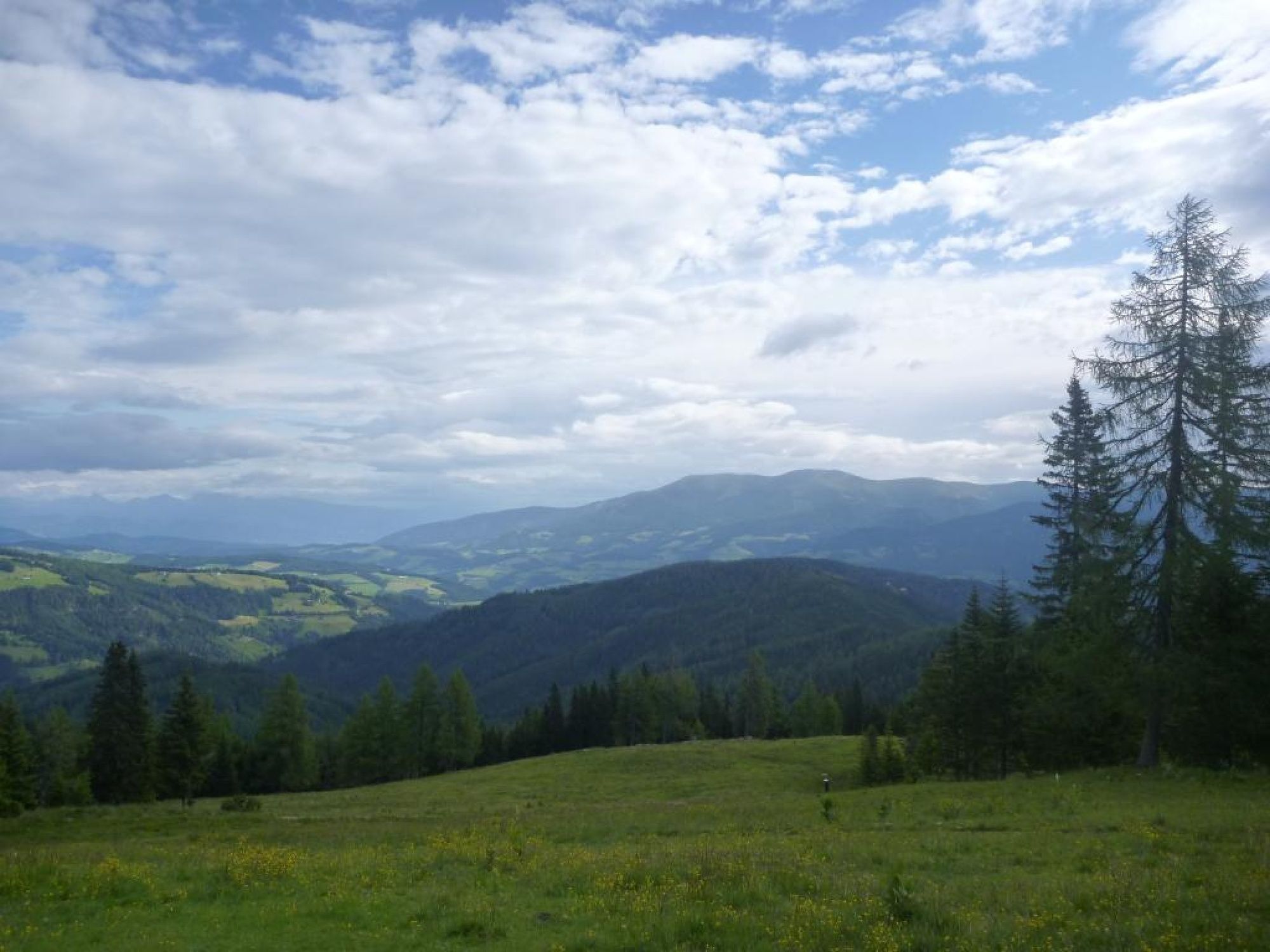
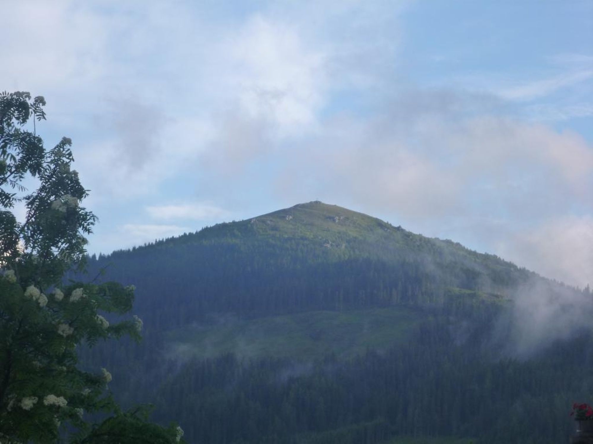
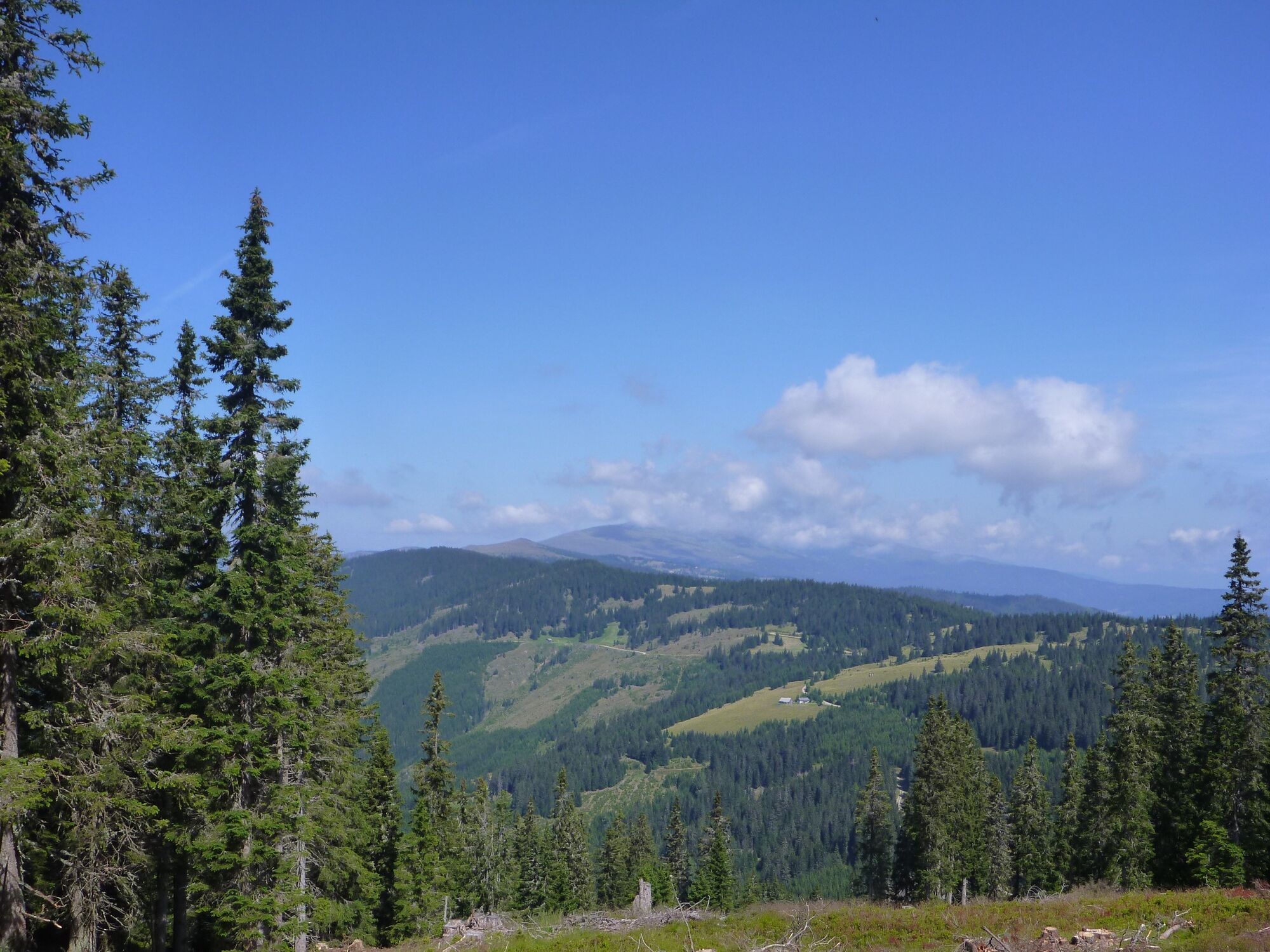
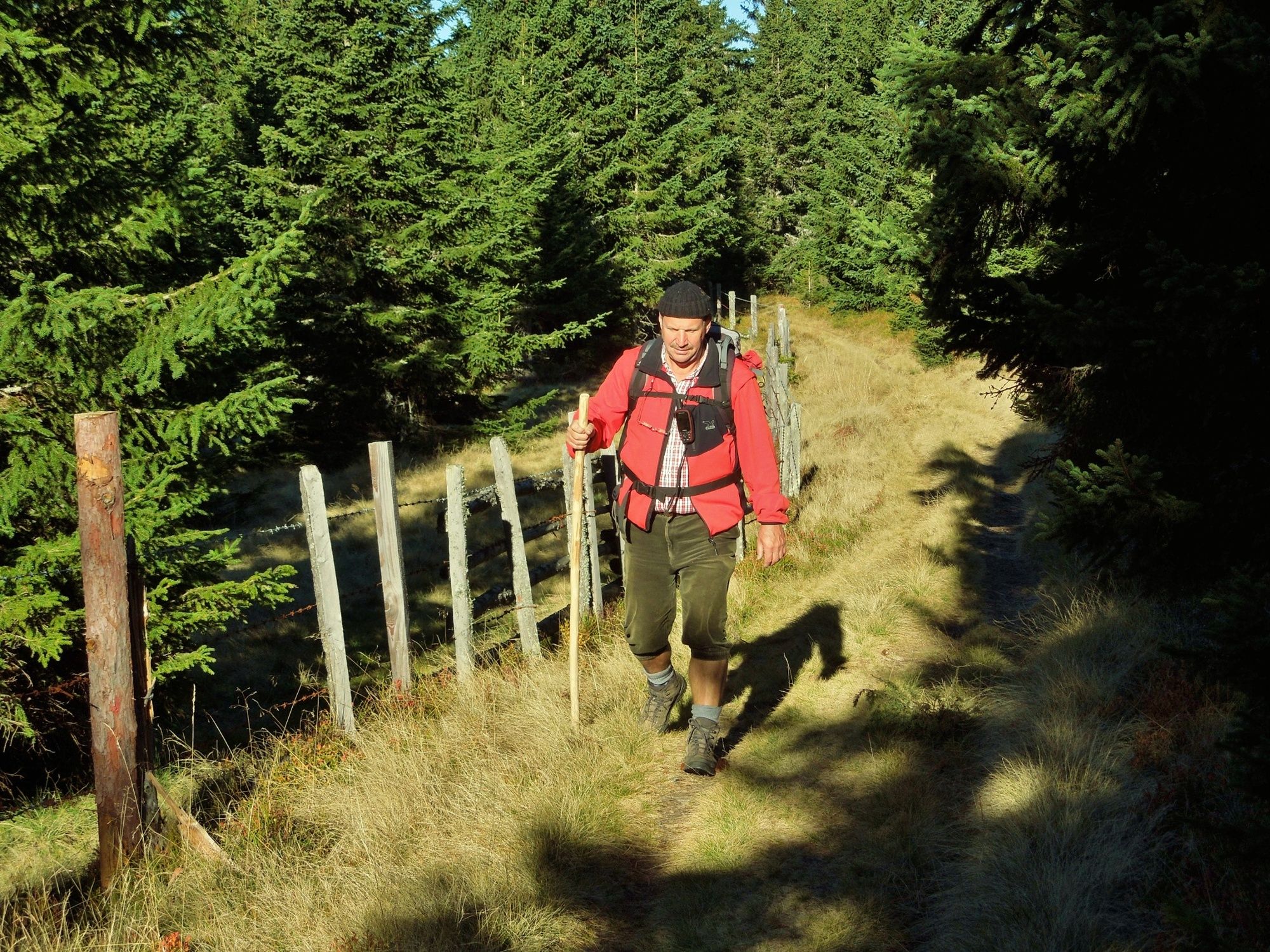
Wunderschöne Rundwanderung am Klippitztörl mit Einkehr in urige Hütten und gemütliche Gasthäuser.
- Difficulty
-
medium
- Rating
-
- Route
-
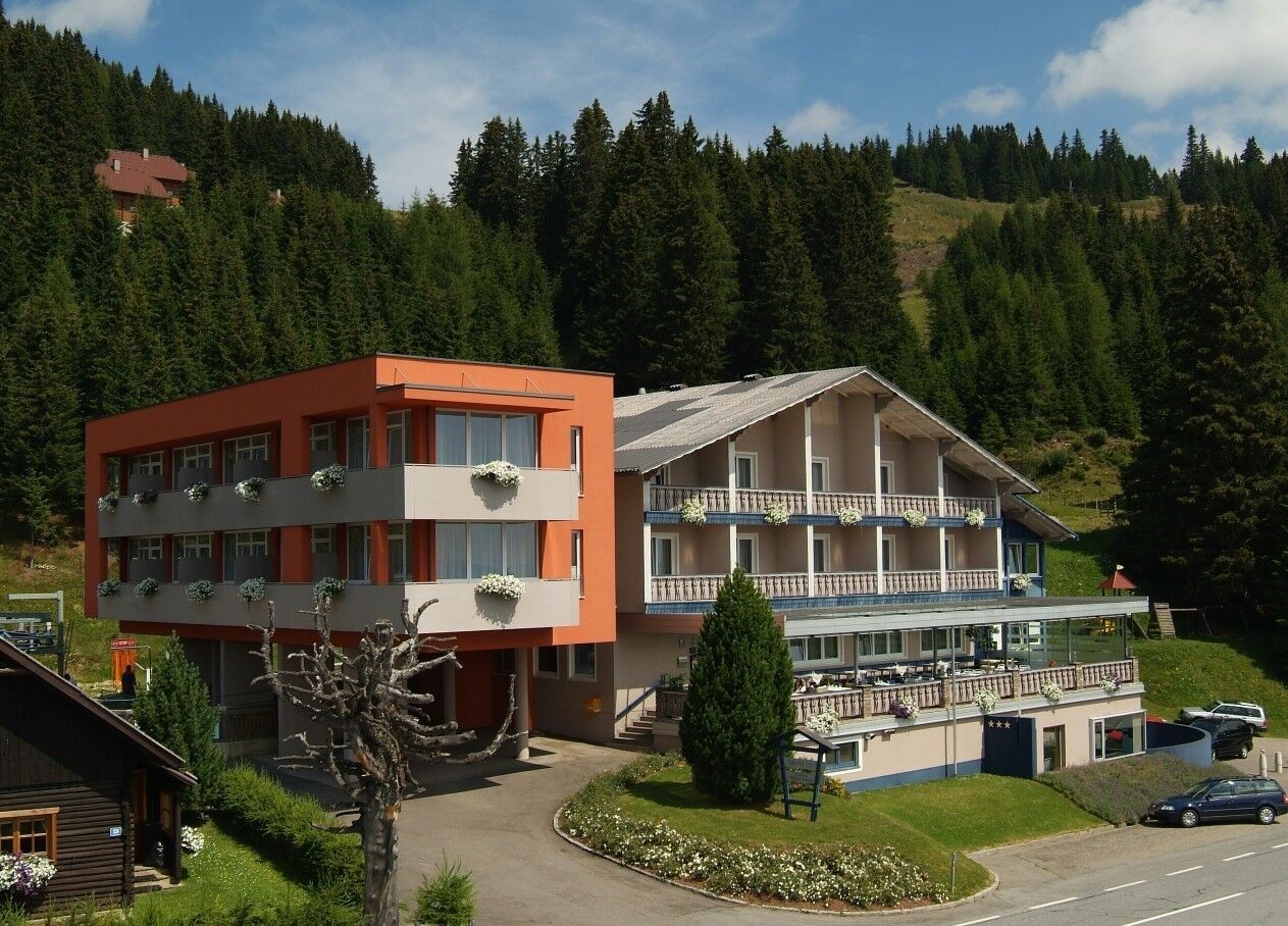
Almhüttendorf KlippitztörlNaturfreundehaus2.4 kmGrünhütte6.6 kmBärenwald7.6 kmMoselebauerhütte8.2 kmAlmhüttendorf Moselebauer8.2 kmSchwarzkogel (1,663 m)8.8 kmSchwartzkogel hütte9.3 kmSchwarzkogel Hütte9.3 kmKlippitztörl9.7 kmAlmhüttendorf Klippitztörl9.9 kmHochegger10.0 kmSeetalerhütte10.0 km
- Best season
-
JanFebMarAprMayJunJulAugSepOctNovDec
- Highest point
- 1,749 m
- Endpoint
-
Parkplatz beim Alpengasthof Hochegger
- Height profile
-

-

-
AuthorThe tour Klippitztörl: Rundwanderung is used by outdooractive.com provided.
GPS Downloads


General info
Refreshment stop
Flora
Fauna
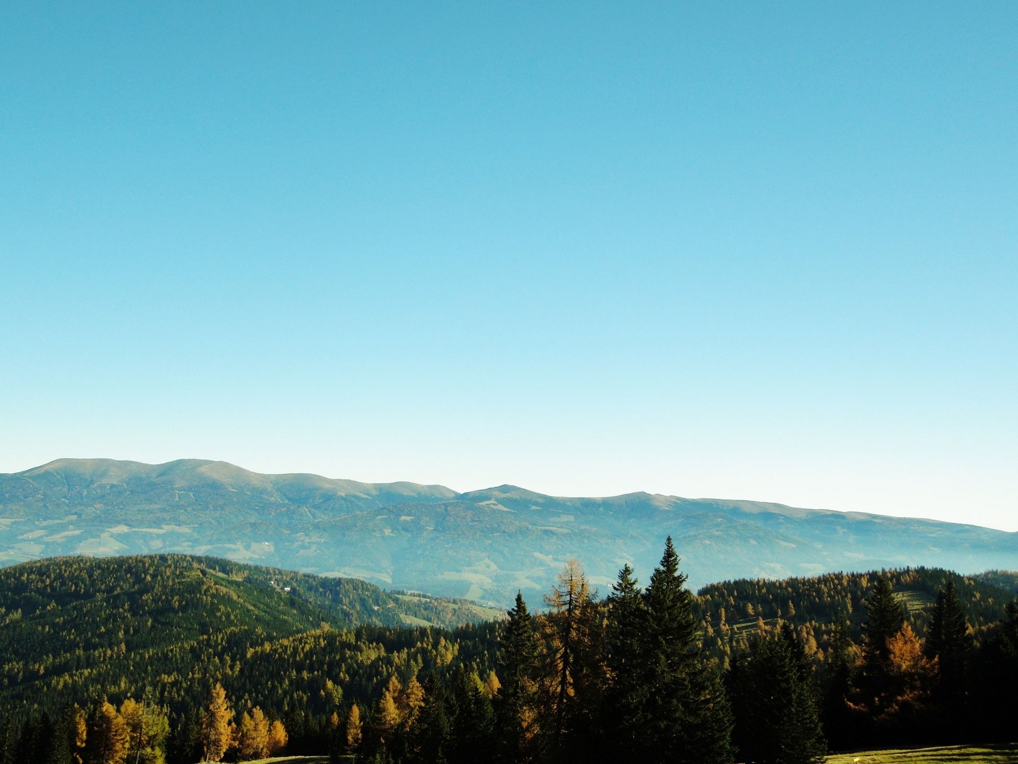
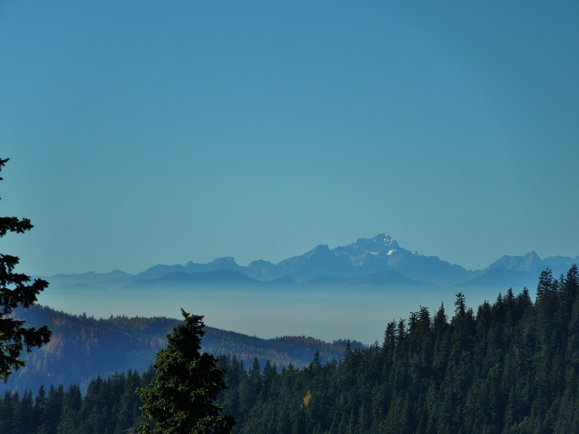
A lot of view
Other tours in the regions
-
Erlebnisregion Murtal
1782
-
Steirisches Zirbenland
711
-
Klippitztörl
145