
- Brief description
-
The Carinthian Slow Trails help hikers to experience the 7 typologies of the landscapes around the Carinthian lakes. The Slow Trails focus on slow motion rather than high speed and offer relaxed & leisurely walking. They are easy to walk in terms of technique and difficulty. At the same time they are very well maintained high quality paths and lead to places with special scenic beauty which allow you to experience the Carinthian lakes.
- Difficulty
-
easy
- Rating
-
- Starting point
-
Gasthof Laggner
- Route
-
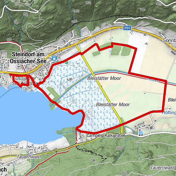
Schiffstation Steindorf0.2 kmSteindorf am Ossiacher See (510 m)0.6 kmSteindorf am Ossiacher See (510 m)6.8 km
- Best season
-
JanFebMarAprMayJunJulAugSepOctNovDec
- Description
-
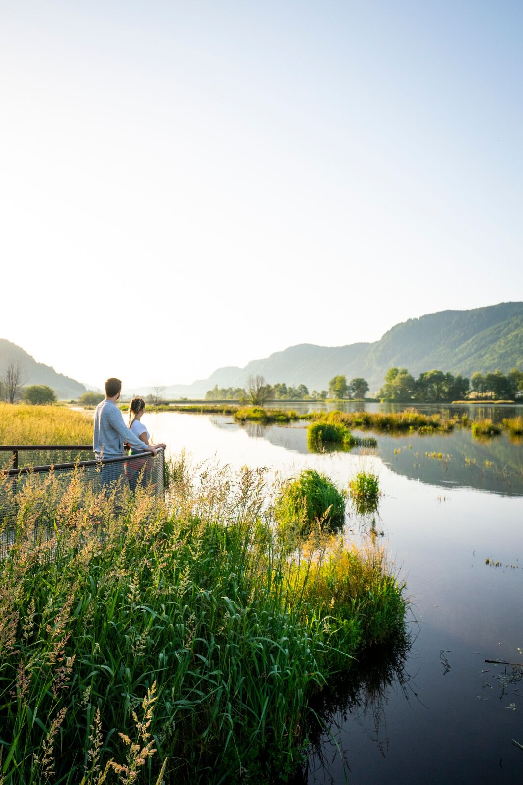
The Slow Trail Bleistätter Moor takes you through an European protection area at the mouth of the small river Tiebel. The trail offers an insight into the habitat of about 100 different species of birds, but also butterflies, bats and beavers.
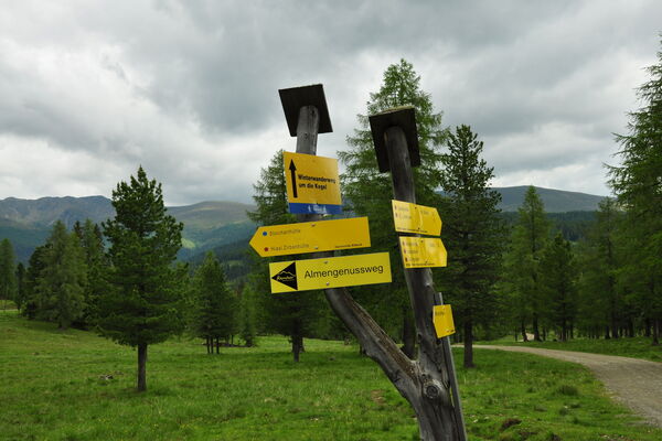
- Directions
-
The tour starts at the Radweghöhe Domenig Steinhaus, where you turn off into the Panoramaweg and walk along the shore towards Steindorf. Here you walk along the Seestrasse for a few meters in northern direction and then you need to cross a brook on a small bridge. Follow the path along the shore of the lake. There is a playground for children and a public toilet. Through a small connecting path you will reach the path along the beach which you follow in northern direction until you get to the Gasthof Laggner. This is where a dirt road begins. After a few minutes walk the asphalt road turns into a graveled path (path No. 1). Along the embankment there are two observation towers, where you can observe the numerous inhabitants of the Bleistätter bog. At the end of the embankment turn in front of the second bridge towards the direction of Prefelnig (path no. 2) and cross the Landesstraße after a few minutes. Follow the road to Prefelnig or Tiffen / Feldkirchen. The bridge over the Tiebelbach has to be crossed and then turn right again towards Steindorf (route no. 2A). Once again, the Landesstraße needs to be crossed before you reach the resting place at the beginning of the gravel road. The Domenig Steinhaus can be reached via the cycle path.
- Highest point
- 509 m
- Endpoint
-
Gasthof Laggner
- Height profile
-

- Equipment
-
Trekking shoes, rain protection, binoculars, camera, food and drinks.
- Tips
-
It is very recommendable to go on a guided tour with an ornithologist in spring.
Please help us to preserve this unique place and remove any rubbish you produce.
- Additional information
- Directions
-
Lake Ossiach is best reached by taking the A10 highway- exit "Villach - Ossiacher See." Then follow the road towards Feldkirchen.
- Public transportation
- Parking
-
There are enough parking spaces available opposite the Gasthof Laggner, at the ice scating hall or along the L50 federal road towards Ossiach.


- Author
-
The tour Slow Trail Bleistätter Moor is used by outdooractive.com provided.
Schön flach und leicht zu bewandern und schöne Flora und Fauna zu entdecken. Schöne Plätze zum entspannen und genießen sowie Aussichtsplattformen um tiefer in das Moore zu Blicken😄