


- Brief description
-
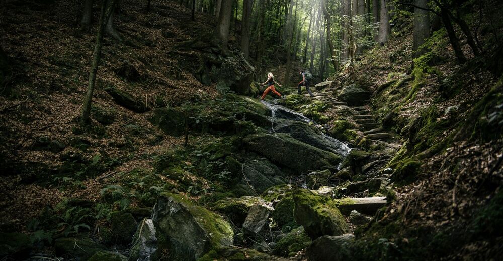
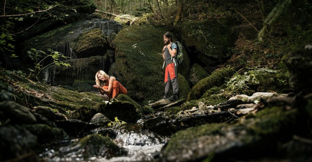
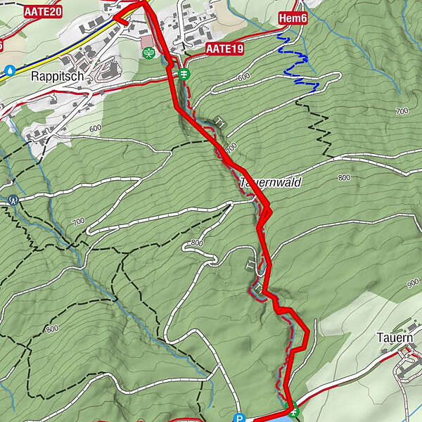
Short but steep hike up the Ossiacher Tauern.
- Difficulty
-
medium
- Rating
-
- Starting point
-
Ossiacher Landesstrasse/ Rappitsch Creek Bridge
- Route
-
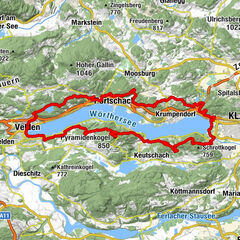
Alt-Ossiach3.5 km
- Best season
-
JanFebMarAprMayJunJulAugSepOctNovDec
- Description
-
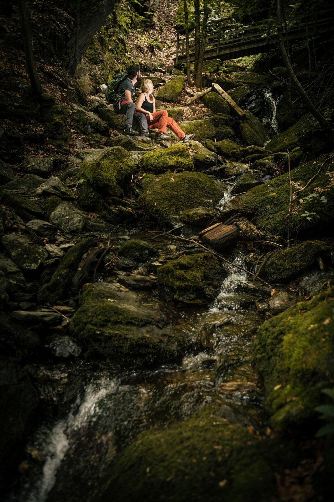
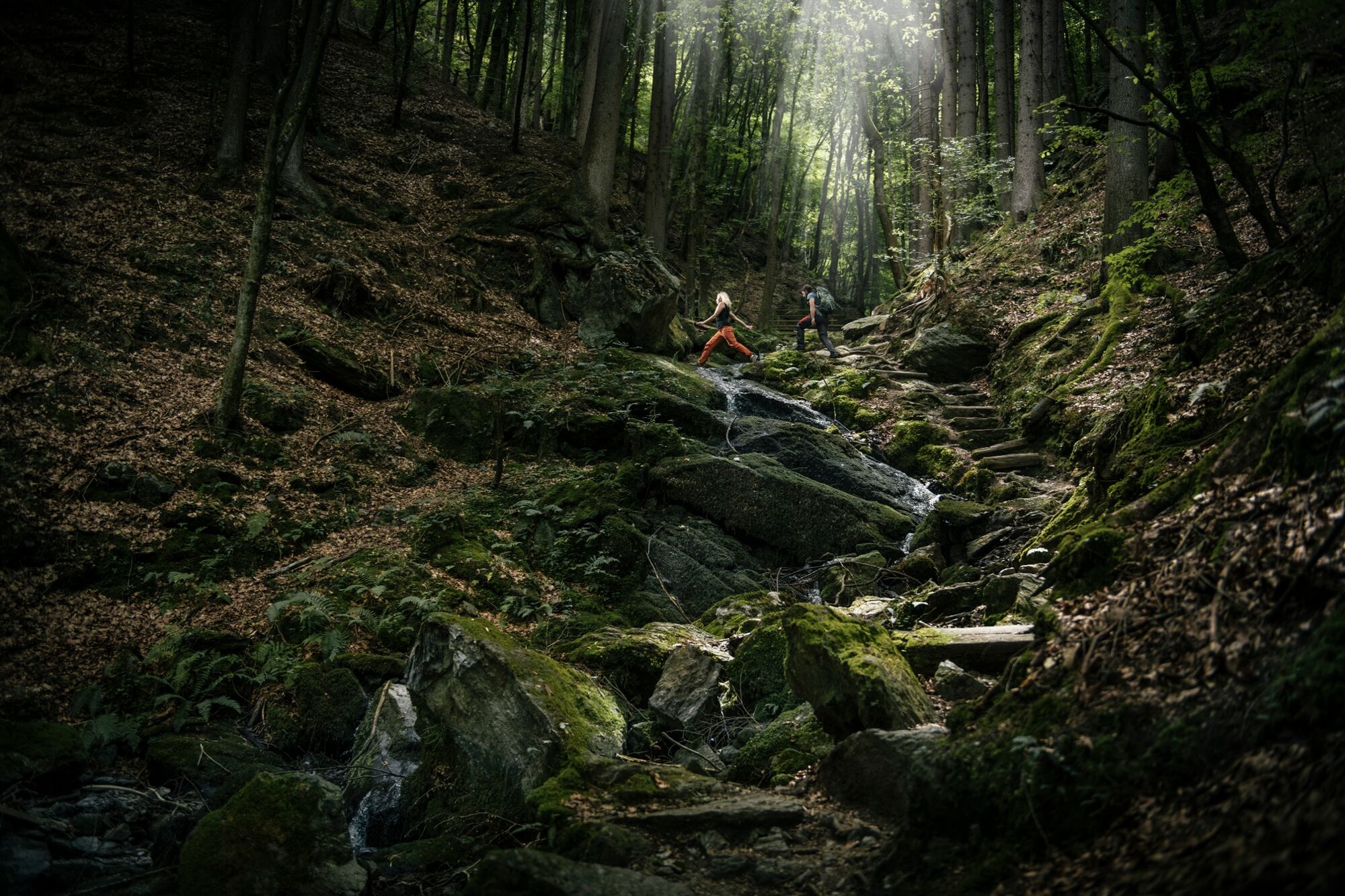
The hike is steep in the first section and pleasant in the second section.
- Directions
-
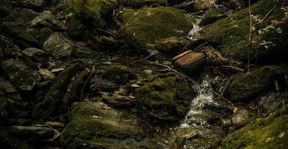
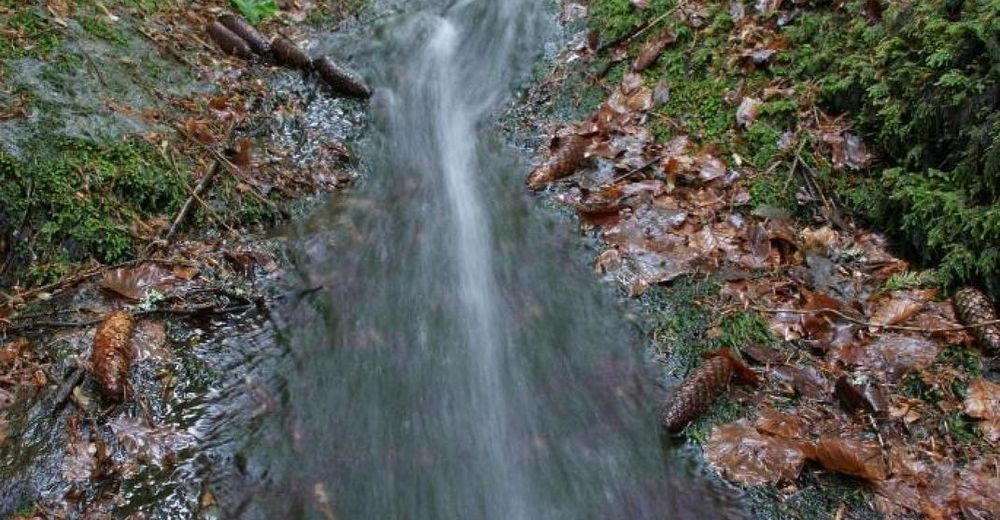
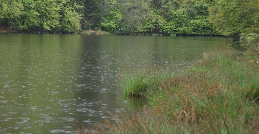
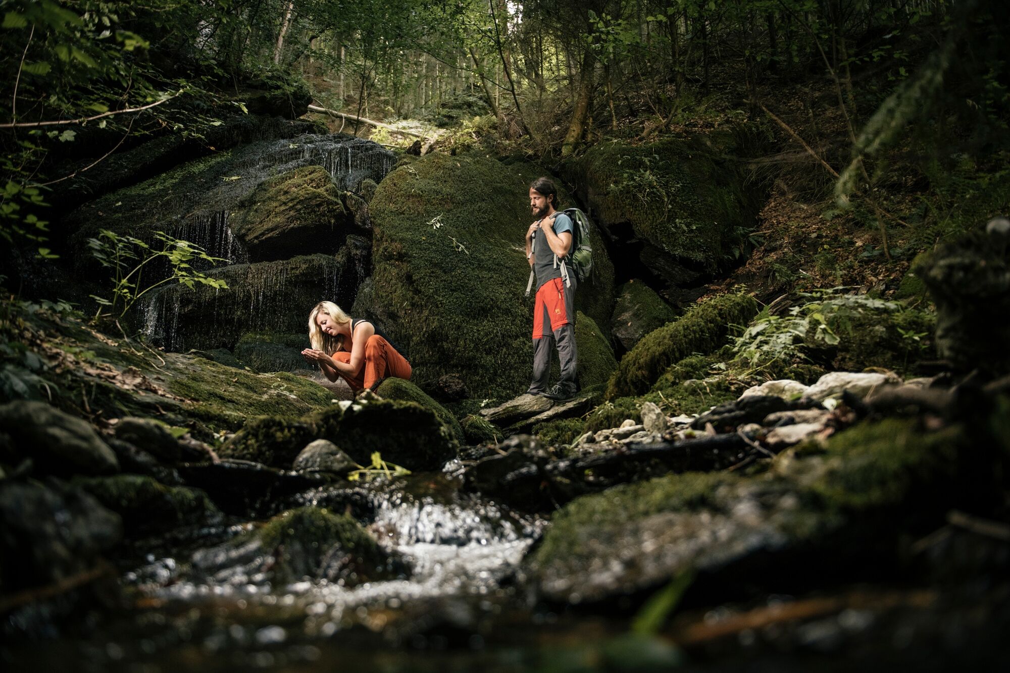
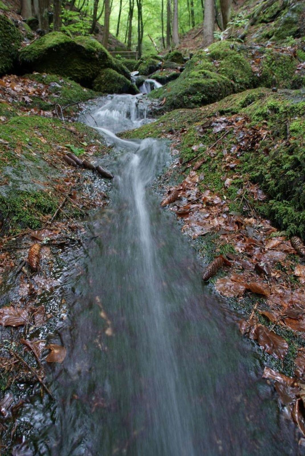
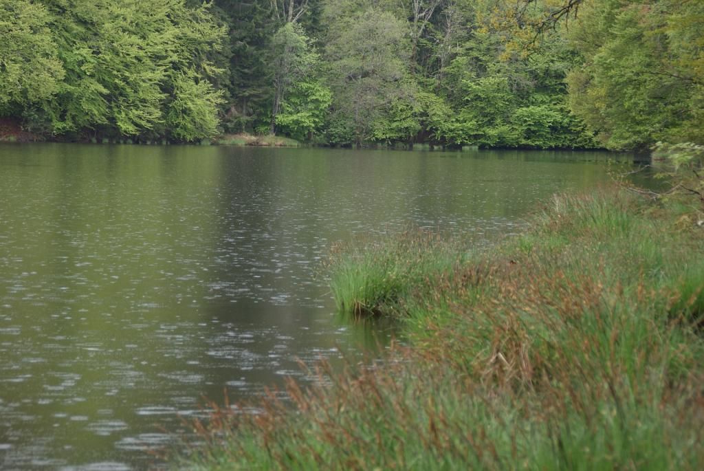
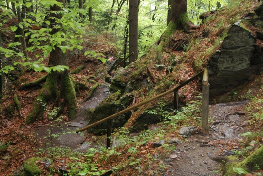
From the street, you follow a well-marked path to the east, heading uphill. On this trail you climb alongside a brook. Always remaining near the water you will be hiking up a steep path. At some points there will be wooden steps, and there are steel steps towards the top to assist with the steep climb. Towards the end the climb flattens out and you cross several bridges over a small stream. You then pass the ruins of an old mill on the last part of the hike before reaching amall pond called Tauernteich.
Follow the same route to get back to the starting point.
- Highest point
- 894 m
- Endpoint
-
Tauernteich (Tauern Pond)
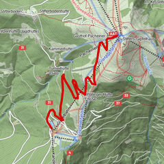
- Height profile
-

- Equipment
-
Good shoes
- Safety instructions
-
The wood and stones near the brook can be quite slippery- especially after a rainfall!
- Tips
-
In the summer it is most comfortable to do the hike in the morning before the sun beats down too hard and there is still cool air left in the canyon from the night before.
After a rainfall you may catch a glimpse of some salamanders!
After the hike you could enjoy a typical Carinthian snack at the "Fischerstüberl".
- Additional information
- Directions
-
Coming from Villach by car, you have to take the Ossiacher Landesstrasse (L49) and follow the road until your reach the "Fischerstüberl" in Ossiach-Rappitsch.
From Feldkirchen you can get there on the B84 until Steindorf and from there you have to take the L50 and L49.
- Public transportation
- Parking
-
Right after the Rappitsch Creek Bridge (coming from Feldkirchen) you can park at the campground.


- Author
-
The tour Ossiacher Schluchtweg is used by outdooractive.com provided.