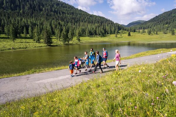
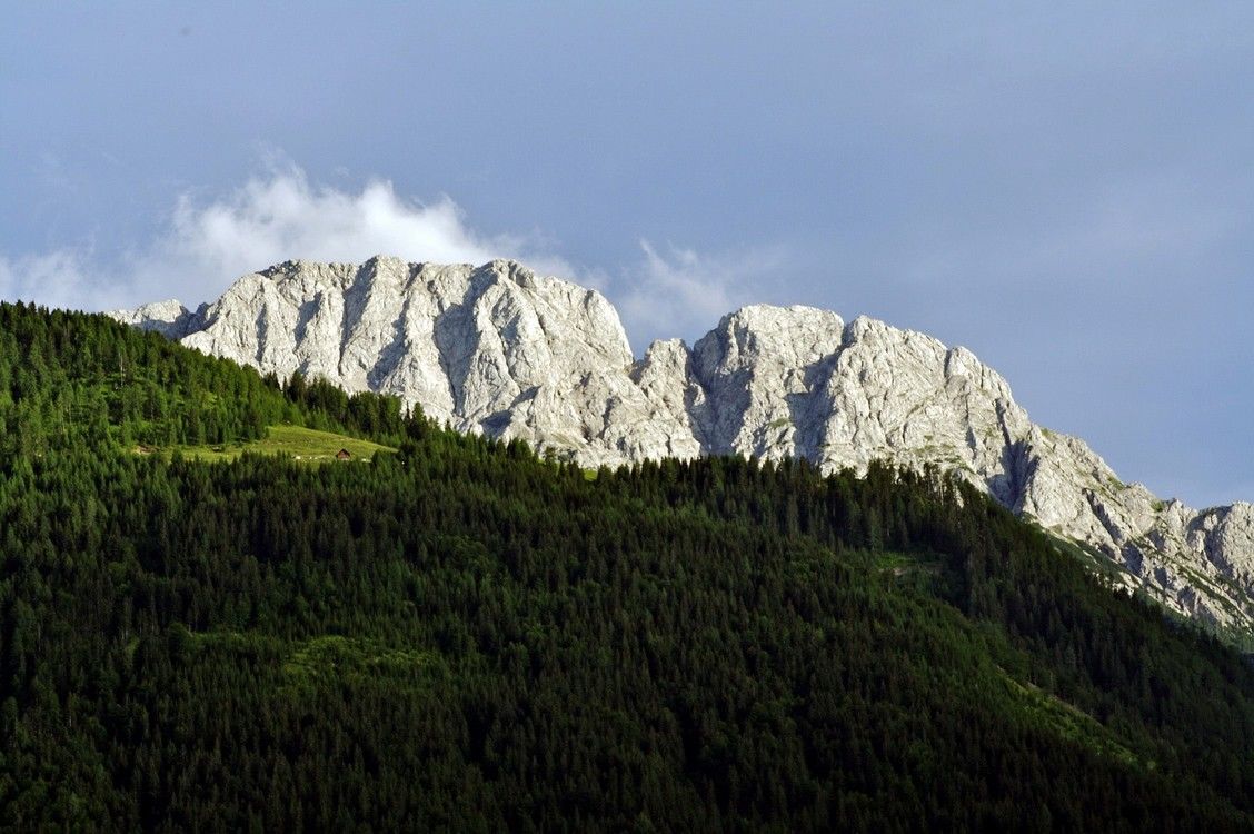
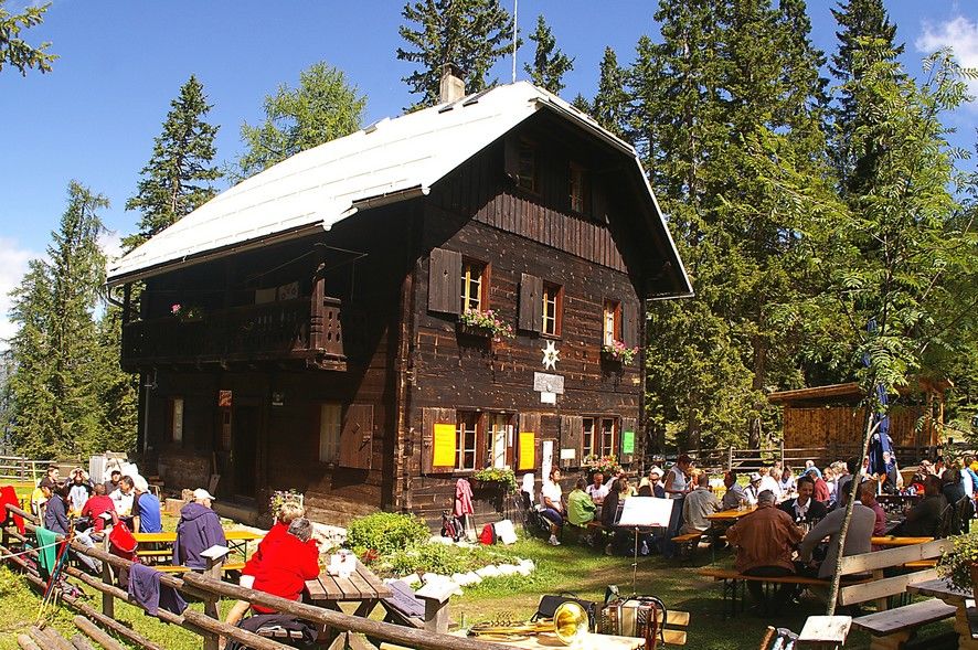
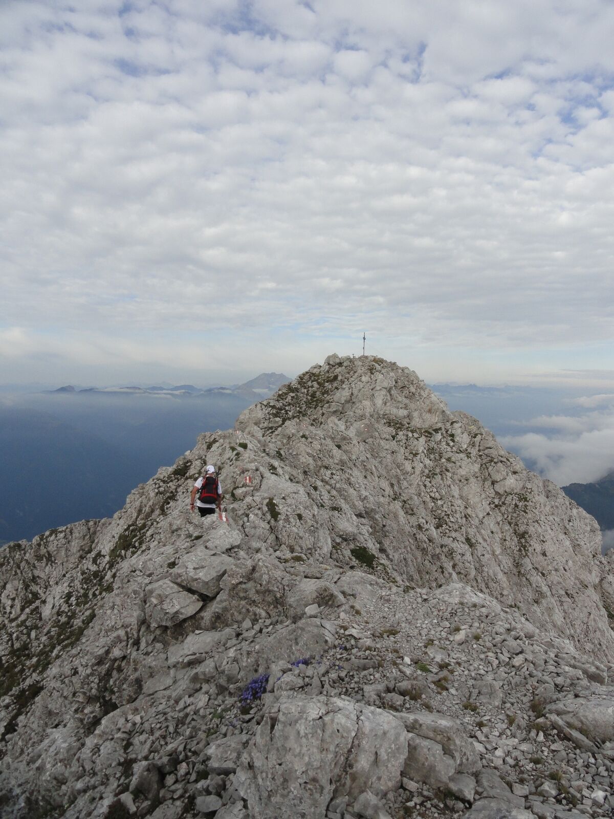
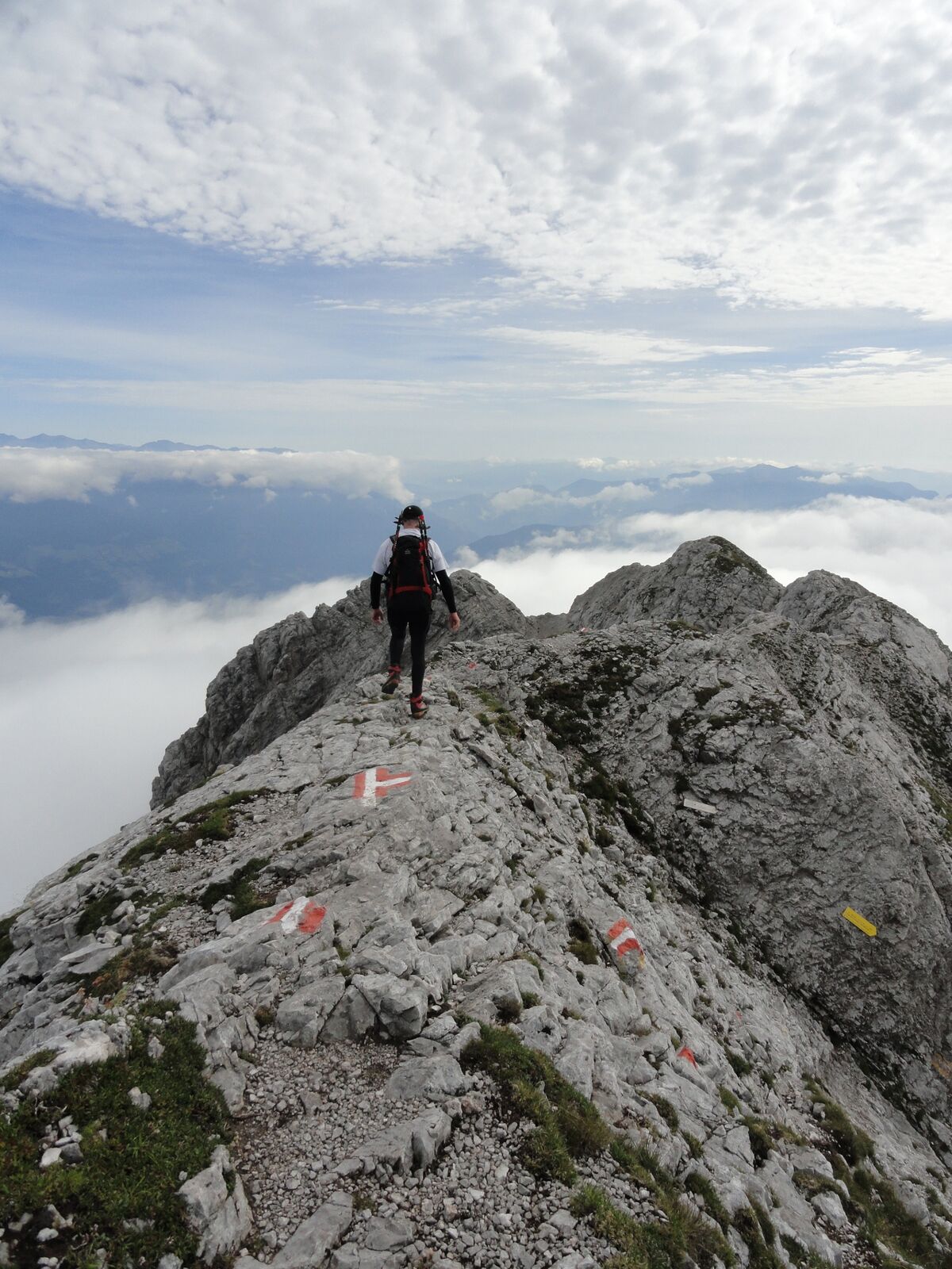
© Hohe Tauern - die Nationalpark-Region in Kärnten Tourismus GmbH - Tanja Weiß-Thalmann

© Hohe Tauern - die Nationalpark-Region in Kärnten Tourismus GmbH - Tanja Weiß-Thalmann

© Hohe Tauern - die Nationalpark-Region in Kärnten Tourismus GmbH - Tanja Weiß-Thalmann
Tour data
13.03km
968
- 2,324m
1,343hm
1,342hm
08:00h

- Brief description
-
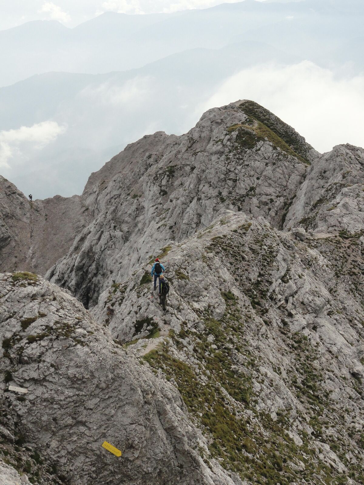
Alpine 2-Tages-Bergtour auf den Felsriesen in der Schattseitn.
- Difficulty
-
difficult
- Rating
-
- Route
-
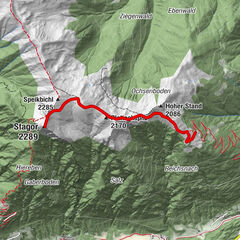
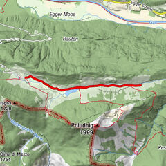
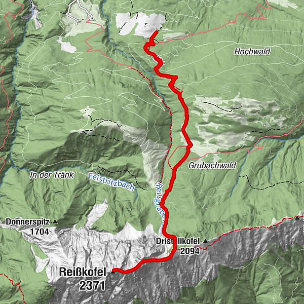
E.T.-Compton-Hütte (1,585 m)4.2 kmTörl (2,021 m)5.2 kmKleiner Reißkofel (2,158 m)5.5 kmReißkofel (2,371 m)6.5 kmTörl (2,021 m)7.8 kmE.T.-Compton-Hütte (1,585 m)8.8 km
- Best season
-
JanFebMarAprMayJunJulAugSepOctNovDec
- Highest point
- 2,324 m
- Endpoint
-
Egg
- Height profile
-

- Author
-
The tour Reißkofel - Comptonhütte is used by outdooractive.com provided.
GPS Downloads


General info
A lot of view
Other tours in the regions