
- Brief description
-
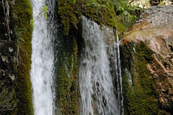
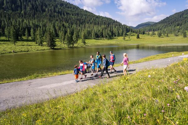
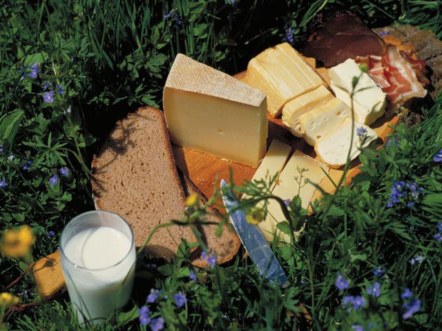
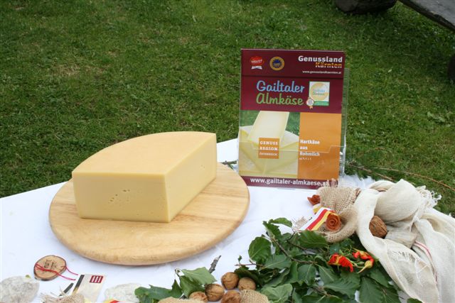
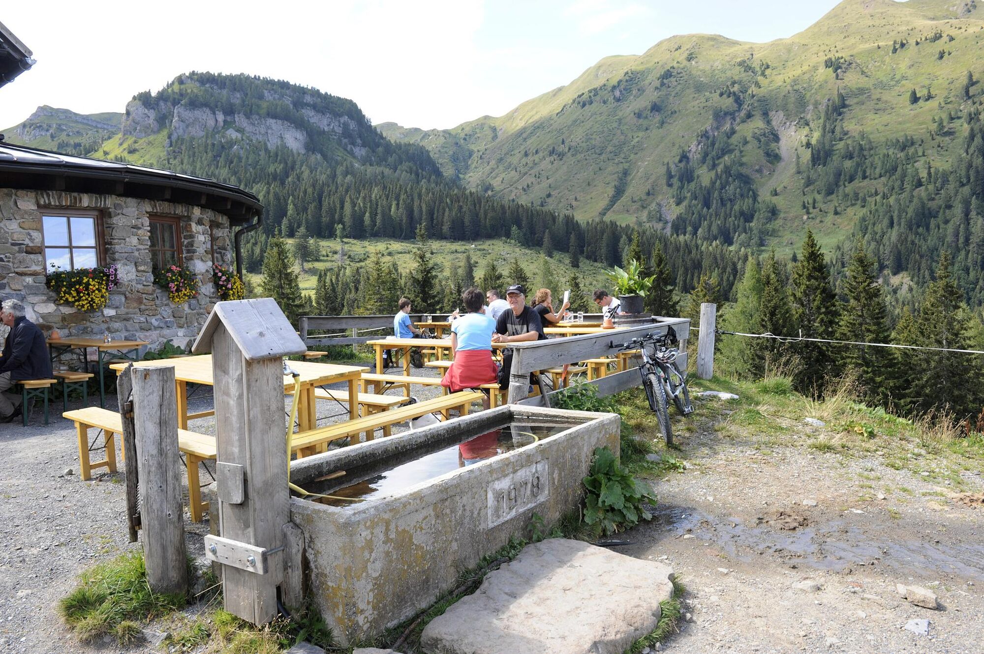
Experience the meeting of two cultures on a leisurely hike in the Carnic Alps. A mixture of traditional products from Carinthia and Carniola can be tasted. You can take your time, because there are also overnight accommodations
- Difficulty
-
medium
- Rating
-
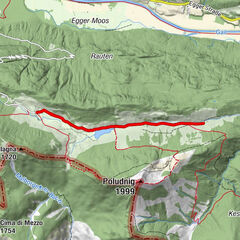
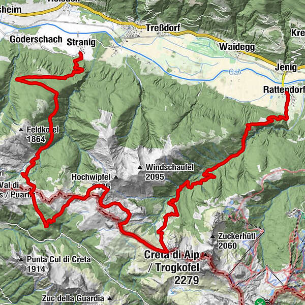
- Route
-
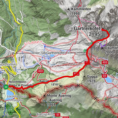
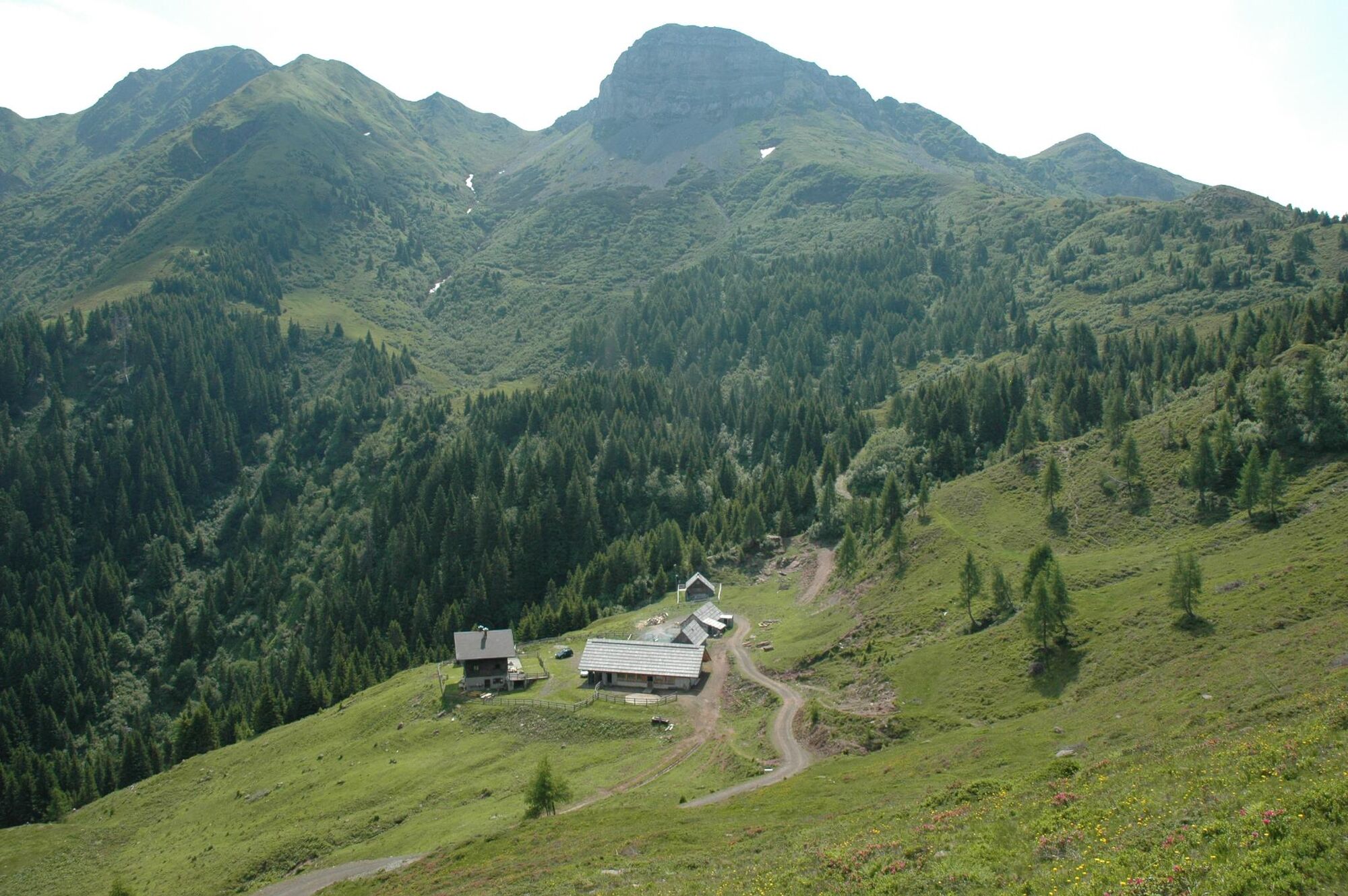
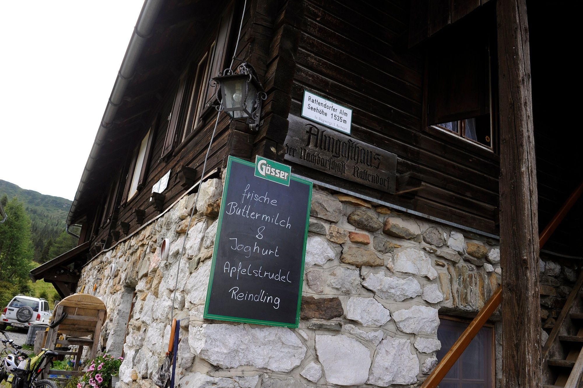
StranigStraniger Alm9.4 kmGroßkordinalm13.3 kmRattendorfer Alm21.6 kmRattendorf31.8 km
- Best season
-
JanFebMarAprMayJunJulAugSepOctNovDec
- Description
-
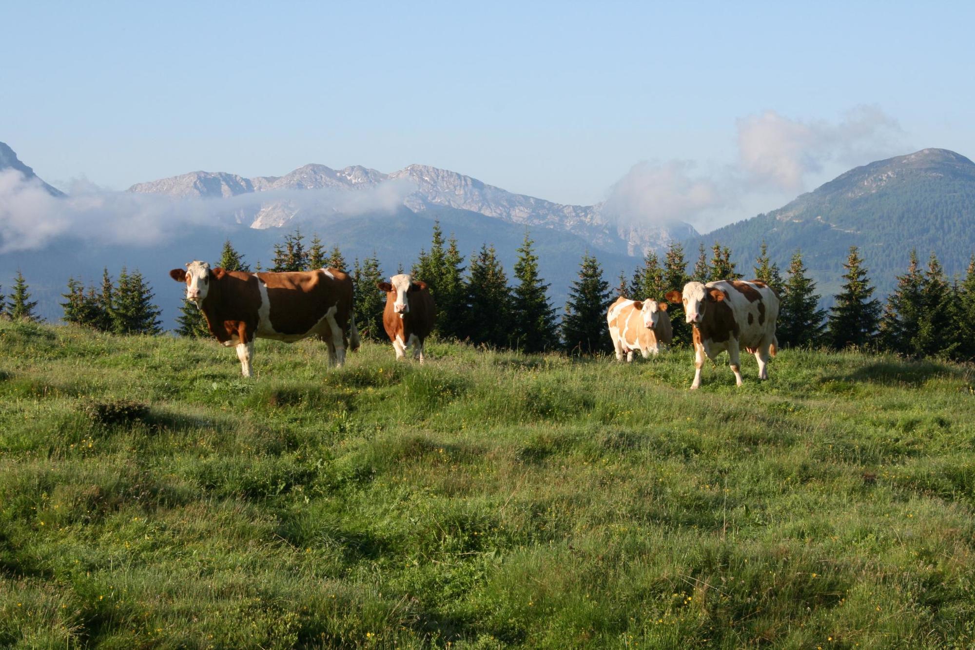
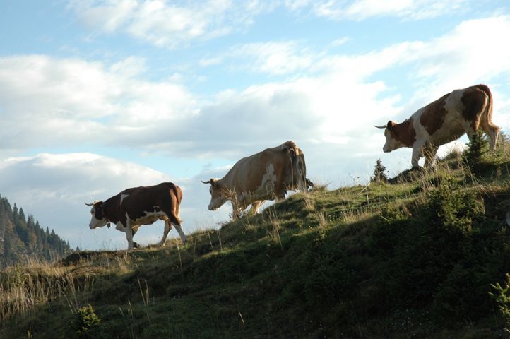
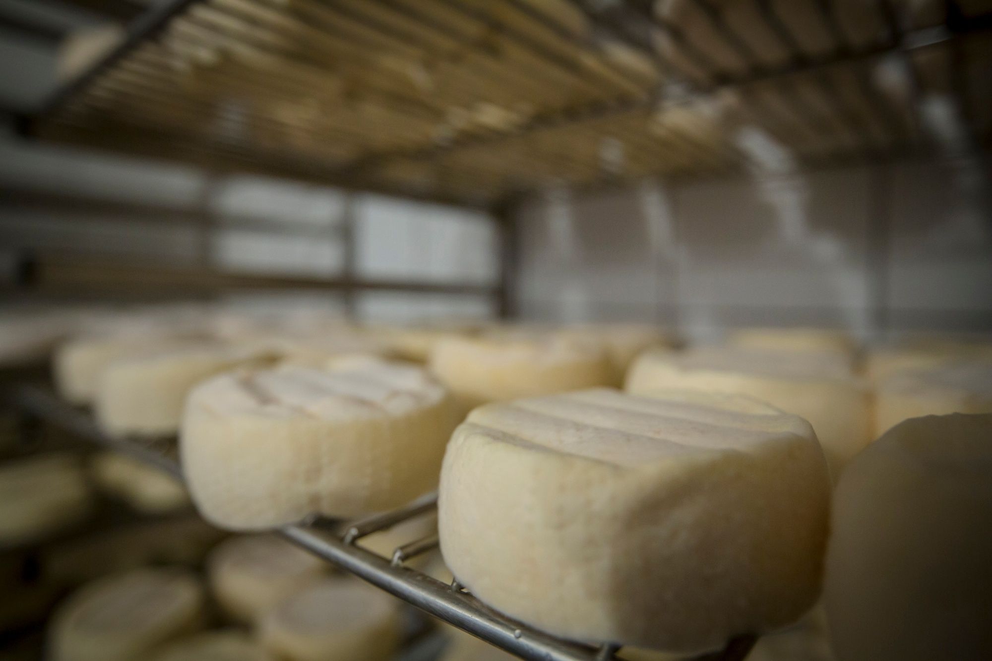
The Cheese Trail connects the alpine pastures Straniger Alm, Kleinkordin Alm and Rattendorfer Alm on the Carinthian side and the alpine pastures Cordin Grande, Valbertat alta, Valbertat bassa, Meledis, Casera Ramaz and Cason di Lanza on the other side of Carnia.It can also be ridden on horseback and mountain bikes.
- Directions
-
The cross-border circular route can be reached from Carinthia either via Rattendorf (Rattendorfer Alm), via Stranig (Straniger Alm) or via Carnia via Paularo (Cason di Lanza).The individual stations are marked with information boards and the path is additionally marked with yellow markings.
- Highest point
- 2,008 m
- Endpoint
-
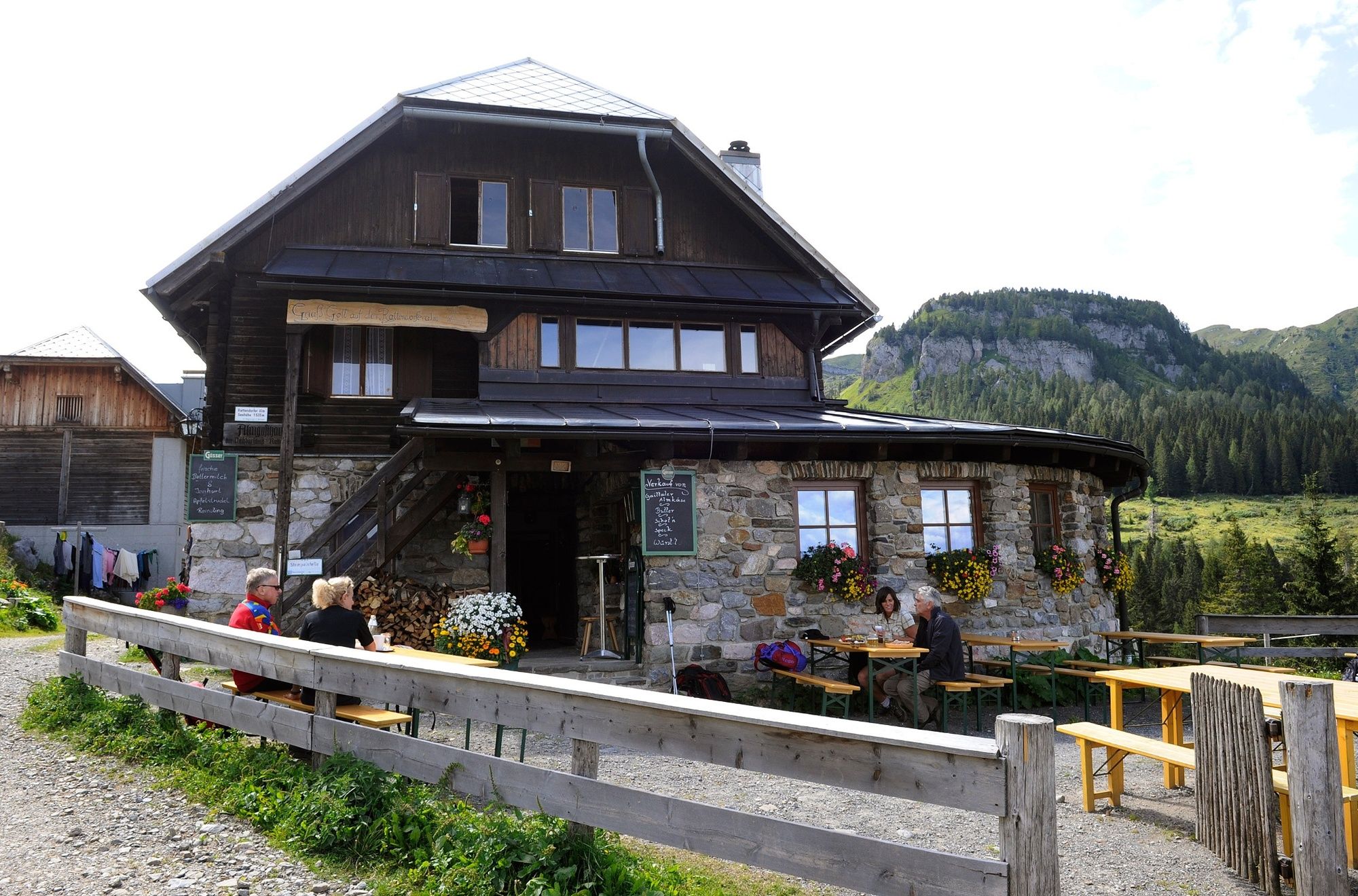
Rattendorf
- Height profile
-

- Safety instructions
-
Do not enter fenced grazing areas and observe warning notices!
- Directions
-
By car to the Rattendorfer Alm
- Public transportation
-
Arrival to Tröpolach by public transport possible!
www.nassfeld.at/mobilitaet
- Parking
-
Parking on the Rattendorfer Alm


- Author
-
The tour Der Käsewanderweg is used by outdooractive.com provided.