
- Difficulty
-
difficult
- Rating
-
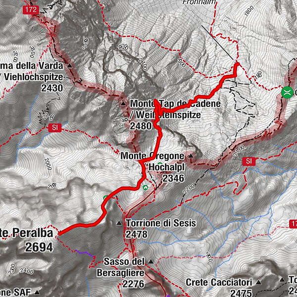
- Route
-
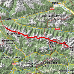
Hochweißsteinhaus0.0 kmHochweißstein (2,694 m)3.3 km
- Best season
-
JanFebMarAprMayJunJulAugSepOctNovDec
- Highest point
- 2,688 m
- Endpoint
-
Monte Peralba (Hochweissstein)
- Height profile
-

- Author
-
The tour Hochweißsteinhaus - Monte Peralba is used by outdooractive.com provided.
GPS Downloads


General info
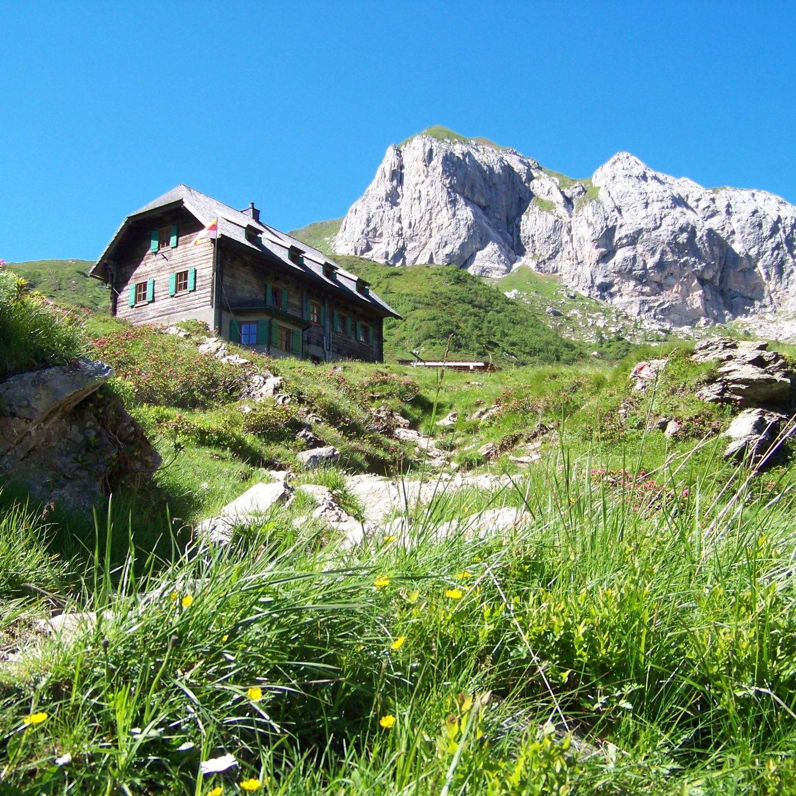
Refreshment stop
Insider tip
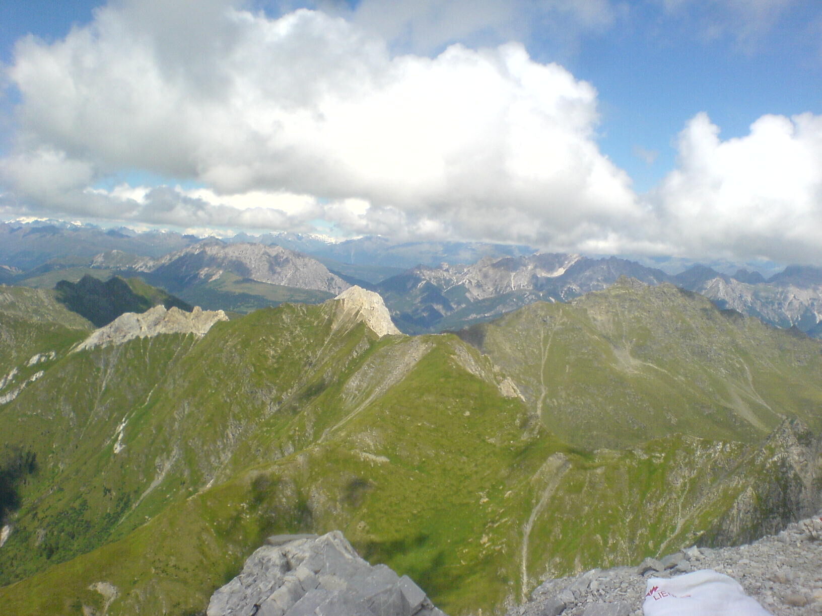
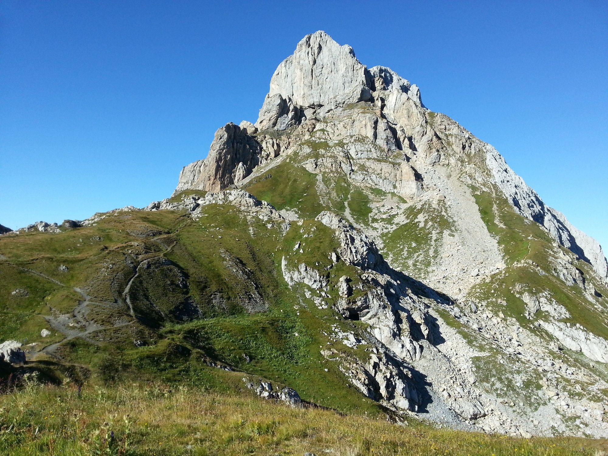
A lot of view
Other tours in the regions