© Region Wörthersee-Rosental Tourismus GmbH - Ernst Karl Koschutnig

© Region Wörthersee-Rosental Tourismus GmbH - Heidi Kilian

© Region Wörthersee-Rosental Tourismus GmbH - Franz Gerdl

- Brief description
-
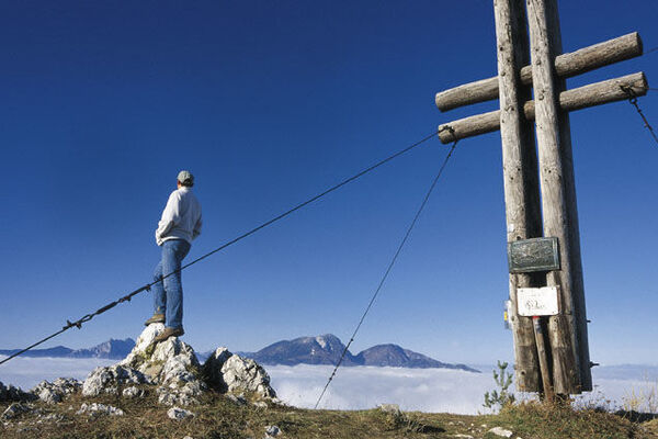
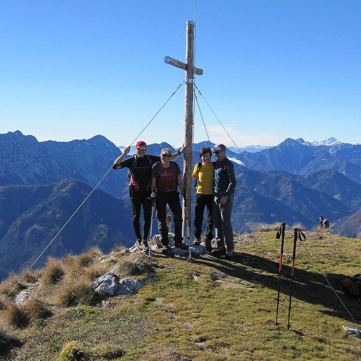
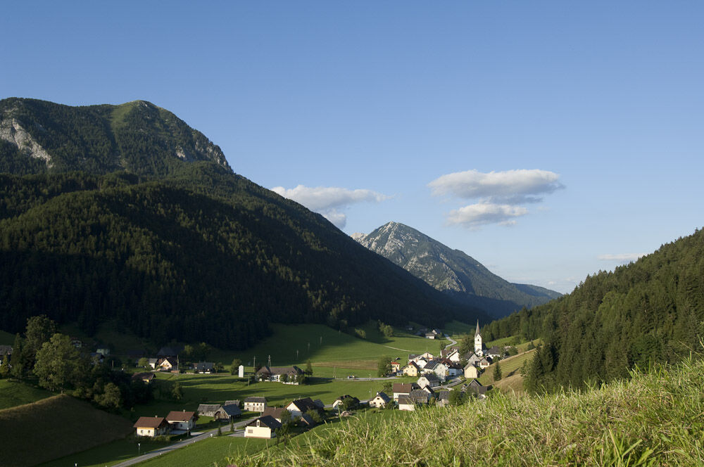
Eines der sympathischsten Karawankenvorberge ist der 1922 Meter hohe Freiberg, vielen auch als Setitsche (Setice) ein Begriff. Im Norden Zell-Pfarres aufragend, ist er über eine bewaldete Einsenkung mit dem Jauernik (1657 m) verbunden. Konditionsstarke Wanderer absolvieren beide Gipfel in einem "Abwasch".
- Difficulty
-
difficult
- Rating
-
- Route
-
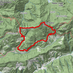
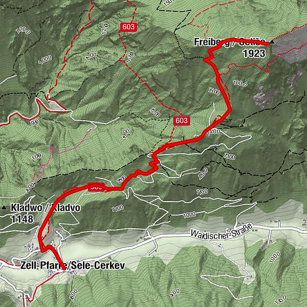
Zell-PfarreFreiberg (1,923 m)3.9 kmZell-Pfarre8.1 km
- Best season
-
JanFebMarAprMayJunJulAugSepOctNovDec
- Highest point
- 1,889 m
- Endpoint
-
Zell-Pfarre, Alpengasthof Malle
- Height profile
-

-

-
AuthorThe tour Von Zell-Pfarre auf den Freiberg is used by outdooractive.com provided.
All ratings
Simone Grubelnik
14. Apr. 2024
Grandiose Aussicht, aber anstrengene Wanderung
Die Wanderung ist sehr anspruchsvoll, da es durchgehend (relativ steil) bergauf geht. Der Weg führt fast durchgehend durch den Wald, was sehr angenehmen ist. Die Aussicht vom Freiberg bietet einen 360 Grad Panoramablick und ist wunderschön!
GPS Downloads


General info
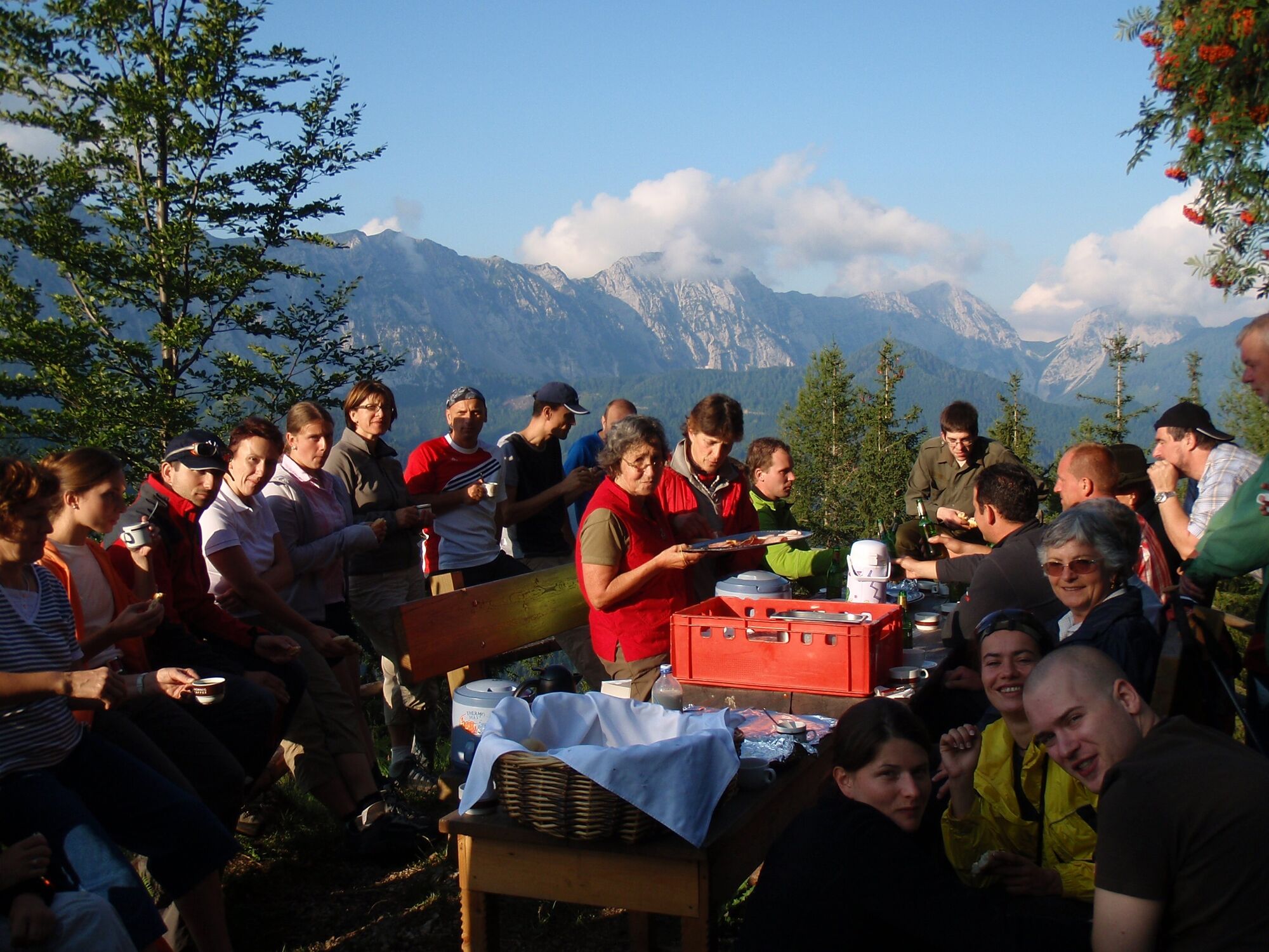
Refreshment stop
A lot of view
Other tours in the regions