
- Brief description
-
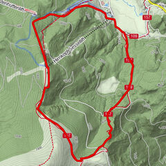
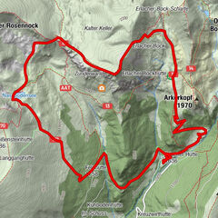
Leichte Wanderung von 1688m bis 2000m über eine typische Alm des Biosphärenparks Kärntner Nockberge.
- Difficulty
-
medium
- Rating
-
- Route
-
Wolitzen Alm (1,777 m)4.3 km
- Best season
-
JanFebMarAprMayJunJulAugSepOctNovDec
- Highest point
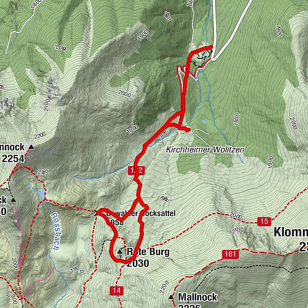
- 2,001 m
- Endpoint
-
Rote Burg
- Height profile
-

-

-
AuthorThe tour Grundalm - Rote Burg is used by outdooractive.com provided.
GPS Downloads


General info
Refreshment stop
Other tours in the regions