
- Brief description
-
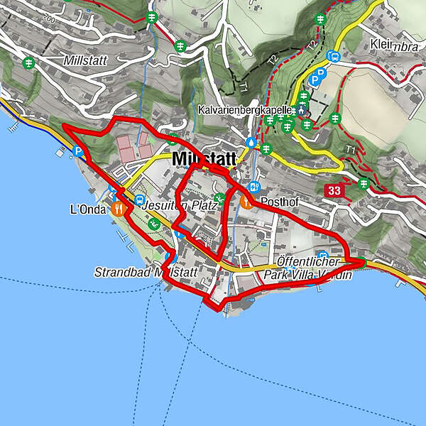
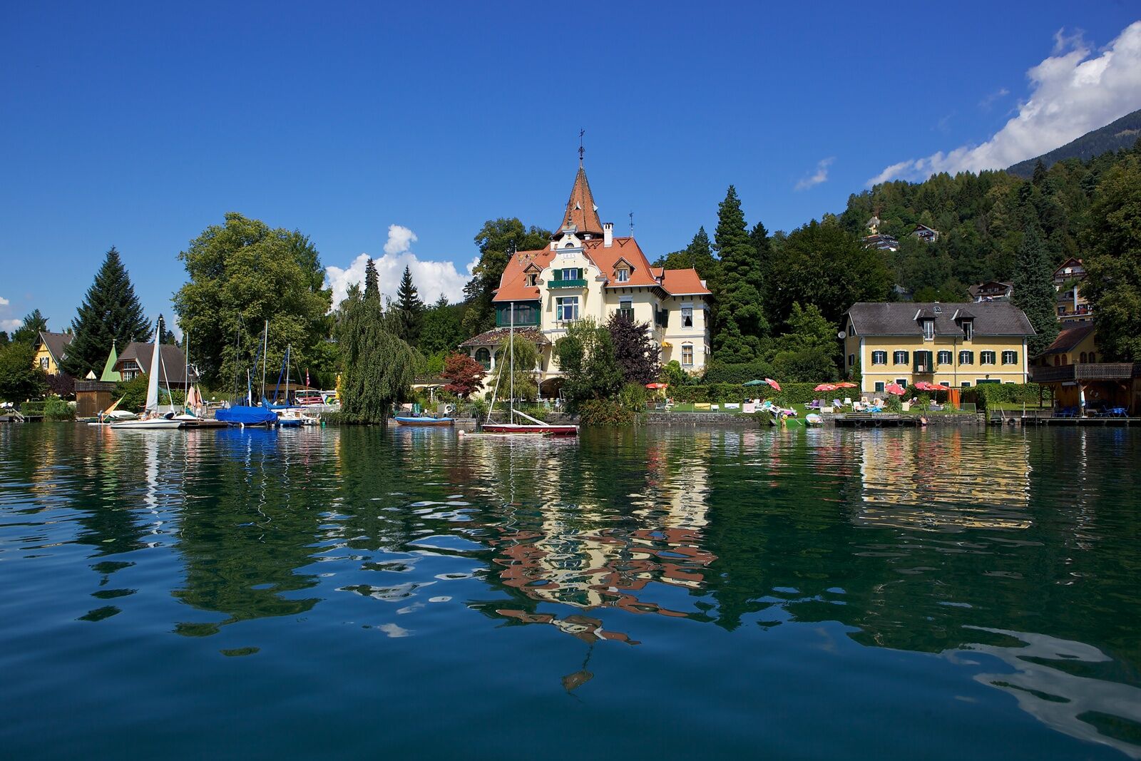
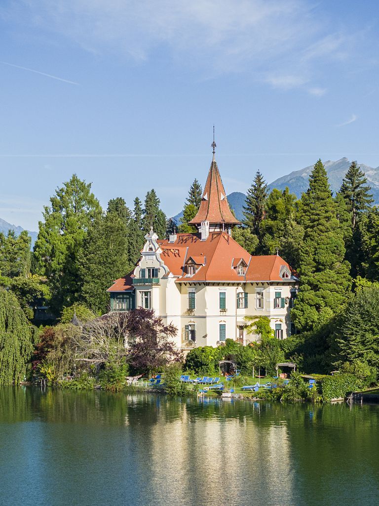
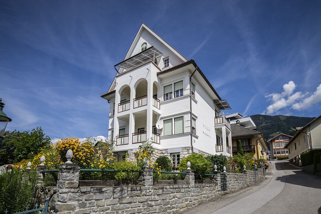
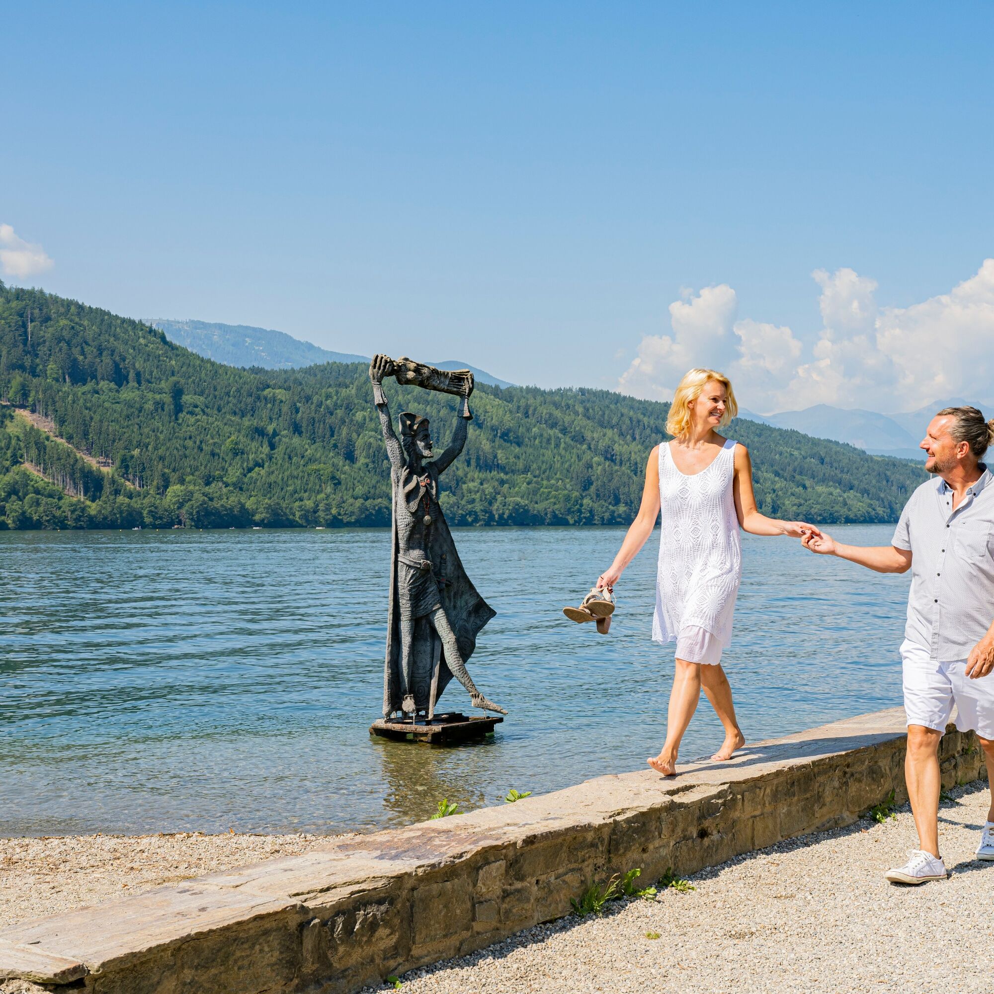
Individueller Spaziergang durch Millstatt am See zu den schönsten Häusern, Logenplätzen und Seeberührungen(R) im Ort.
- Difficulty
-
easy
- Rating
-
- Route
-
Millstatt (611 m)0.0 kmMillstatt1.3 kmGeumannkapelle2.6 km
- Best season
-
JanFebMarAprMayJunJulAugSepOctNovDec
- Description
-
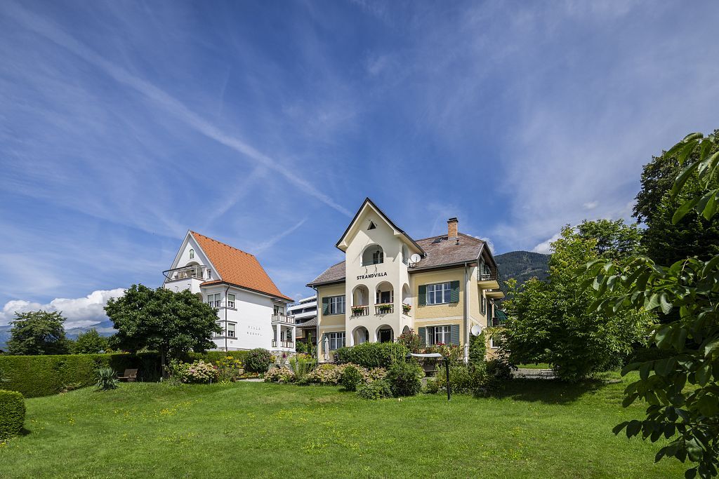
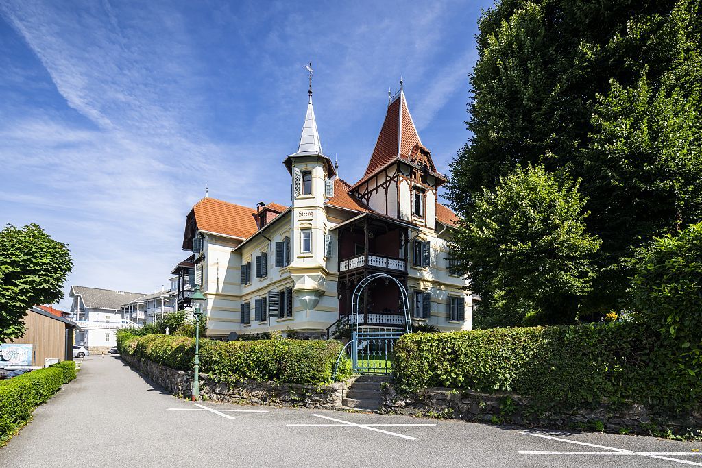
Villa Path passes through the old centre of Millstatt and touches on 20 villas built in the second half of the 19th century as summer residences for various members of the Austro- Hungarian nobility. The villas are essential features of the town and some (those now fitted out as restaurants) can be visited. Information panels give a background description of the buildings.
- Directions
-
Millstatt’s villas are scattered around the town centre and worth searching out to admire their particular architecture. A leaflet on the Villa Path (Villenweg) is available at the tourist office in Millstatt Town Hall.
- Highest point
- 622 m
- Endpoint
-
Millstatt
- Height profile
-

- Equipment
-
An important prerequisite for the success of a hike, is beside the careful study of the maps, the best equipment. Standard features include solid, well-fitting Berschuhe, as well as a water and windproof jacket and over trousers (rain). Sunglasses, mobile phone and first aid kit should also be found in a small backpack the necessary space.
- Safety instructions
-
The most important emergency numbers in Austria
144 medical emergencies
140 Alpine emergency
112 European emergency - Tips
-
Lookout points: villas, some built by the Habsburgs
- Directions
-
by car to Millstatt directly to the City Hall


- Author
-
The tour Millstätter Villenweg is used by outdooractive.com provided.