- Brief description
-
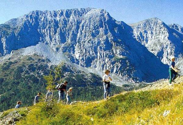
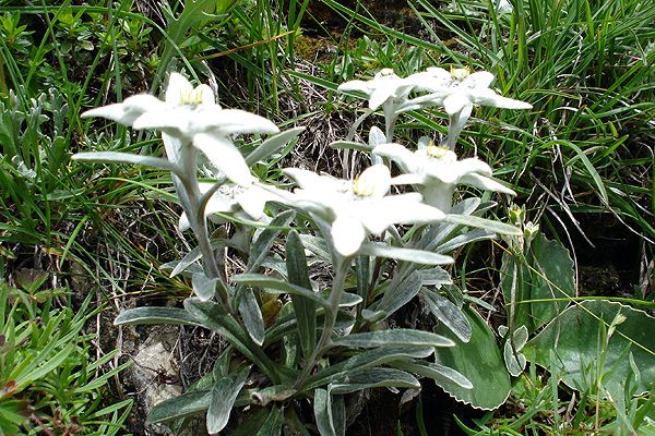
Edelweiss, the wonderfull perspective
- Starting point
-
Passo di Lanza 1567m
- Route
-
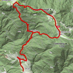
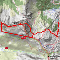
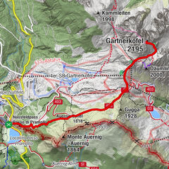
Monte Zermula (2,143 m)3.3 km
- Description
-
We Start on Lanzenpass. From there we go up to the summit and than back to a typical italian alp.
- Highest point
- 2,107 m
- Height profile
-
 © outdooractive.com
 - Directions
-
With the car to pontebba and at the Passo di Lanza 1567m

- Author
-
The tour Monte Zermula 2143m is used by outdooractive.com provided.
GPS Downloads

Other tours in the regions