


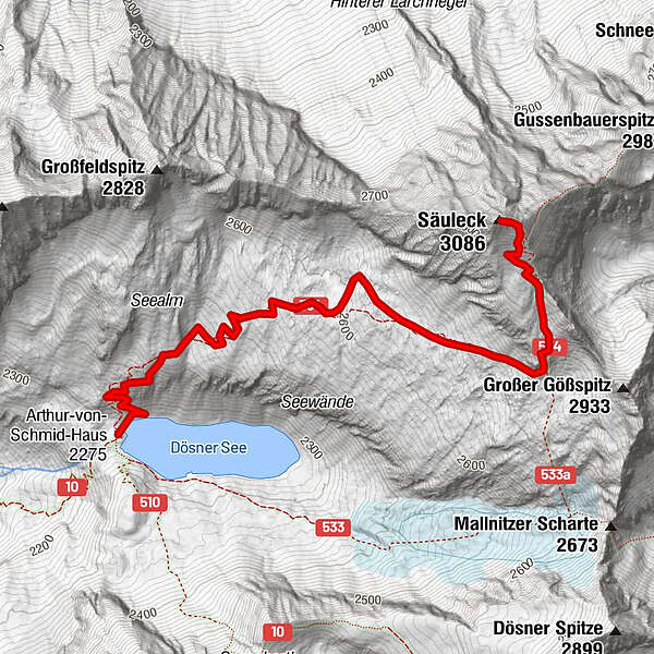
Tour data
3.74km
2,275
- 3,086m
811hm
04:30h
- Brief description
-
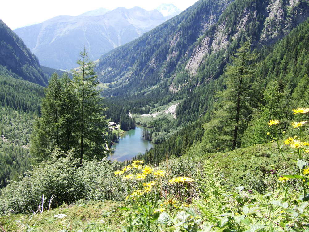
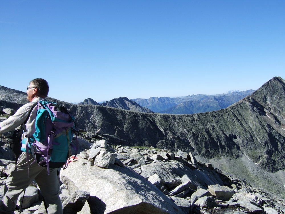
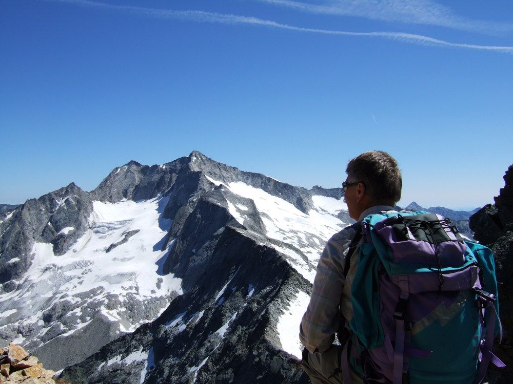
wunderschöne, abwechslungsreiche Wanderung
- Rating
-
- Starting point
-
Arthur von Schmidhaus
- Route
-
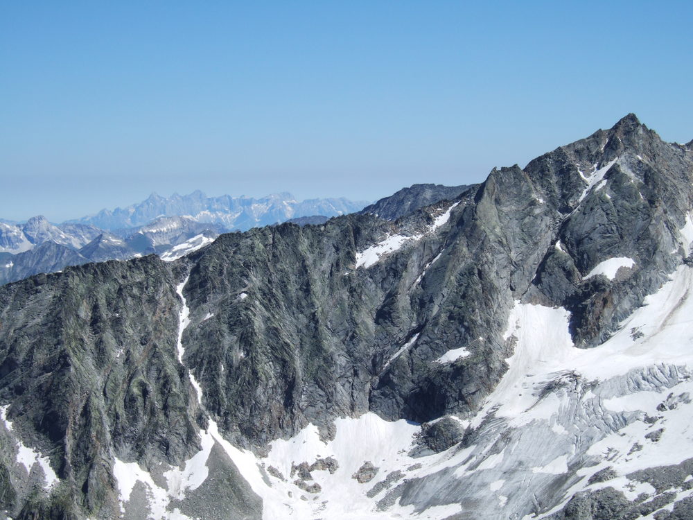
Säuleck (3,086 m)3.7 km
- Highest point
- 3,086 m
- Rest/Retreat
-
Arthur v. Schmidhaus
- Ticket material
-
AV Karte Nr. 44, Hochalmspitze- Ankogel


GPS Downloads


Trail conditions
Asphalt
Gravel
Meadow
Forest
Rock
Exposed
Other tours in the regions


