© Hohe Tauern - die Nationalpark-Region in Kärnten Tourismus GmbH - Thomas Suntinger
© Hohe Tauern - die Nationalpark-Region in Kärnten Tourismus GmbH - Thomas Suntinger

© Hohe Tauern - die Nationalpark-Region in Kärnten Tourismus GmbH - Peter Rupitsch

© Hohe Tauern - die Nationalpark-Region in Kärnten Tourismus GmbH - T. Suntinger

© Hohe Tauern - die Nationalpark-Region in Kärnten Tourismus GmbH - T. Suntinger
Tour data
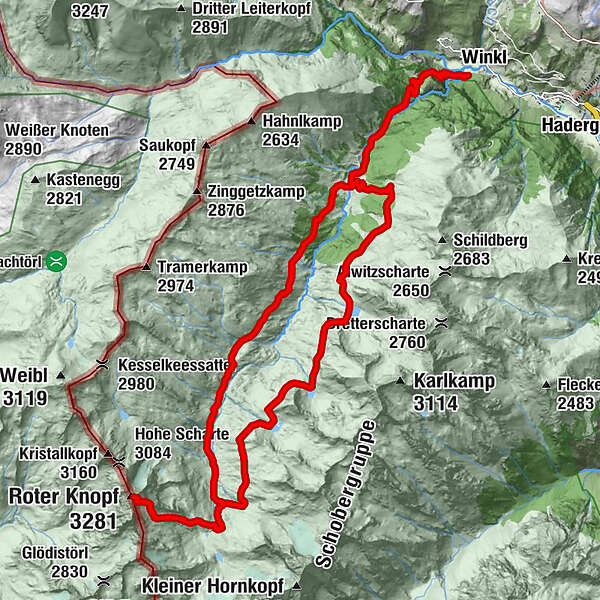
31.23km
1,285
- 3,249m
2,209hm
2,234hm
15:00h

- Brief description
-
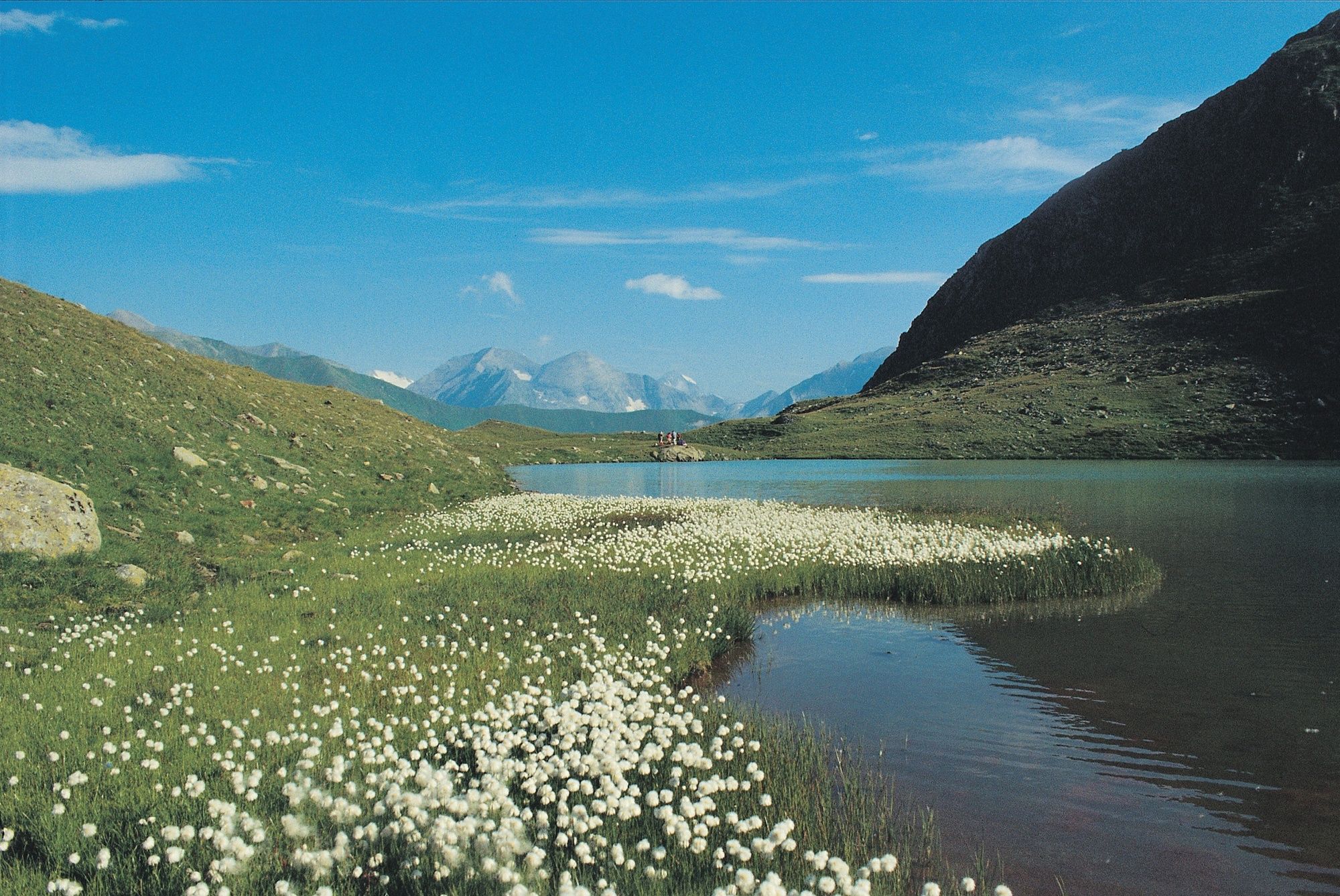
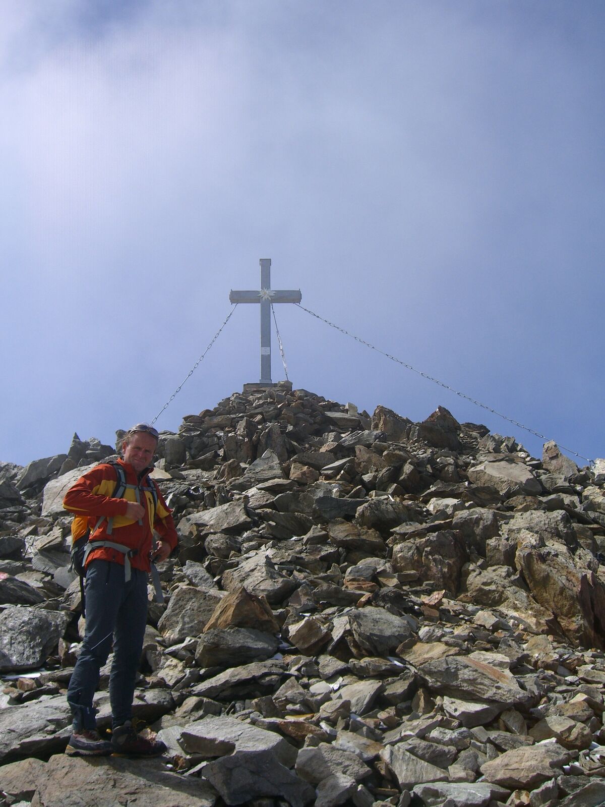
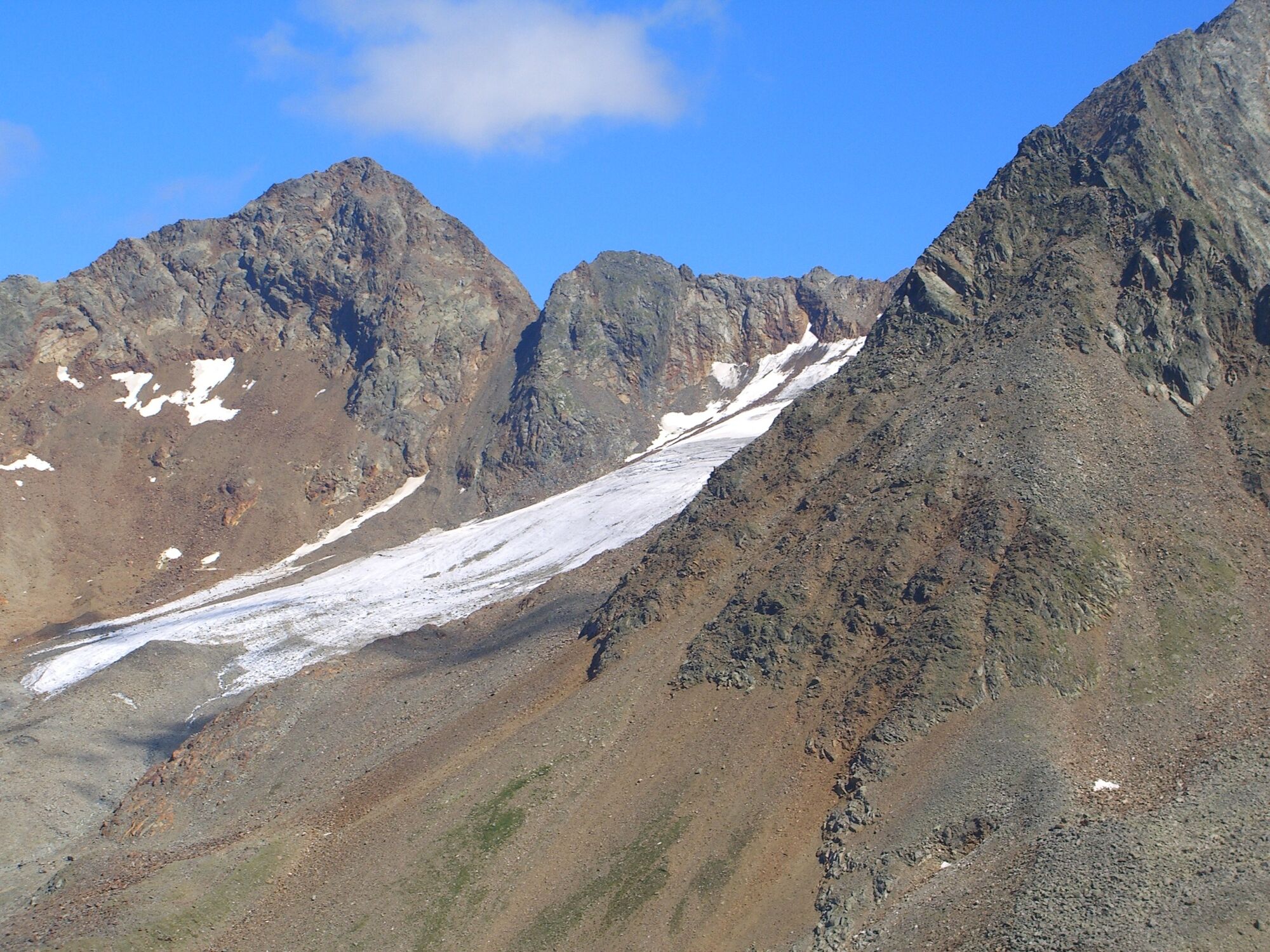
Lange, wunderschöne Wanderung durchs Gößnitztal. Aufstieg zum Gipfel über einen teilweise markierten Felsanstieg. Firnfelder und Blockgelände, teilweise ausgesetzt.
- Difficulty
-
difficult
- Rating
-
- Route
-
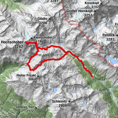
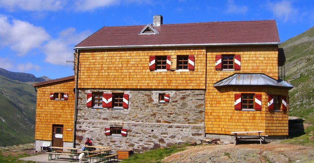
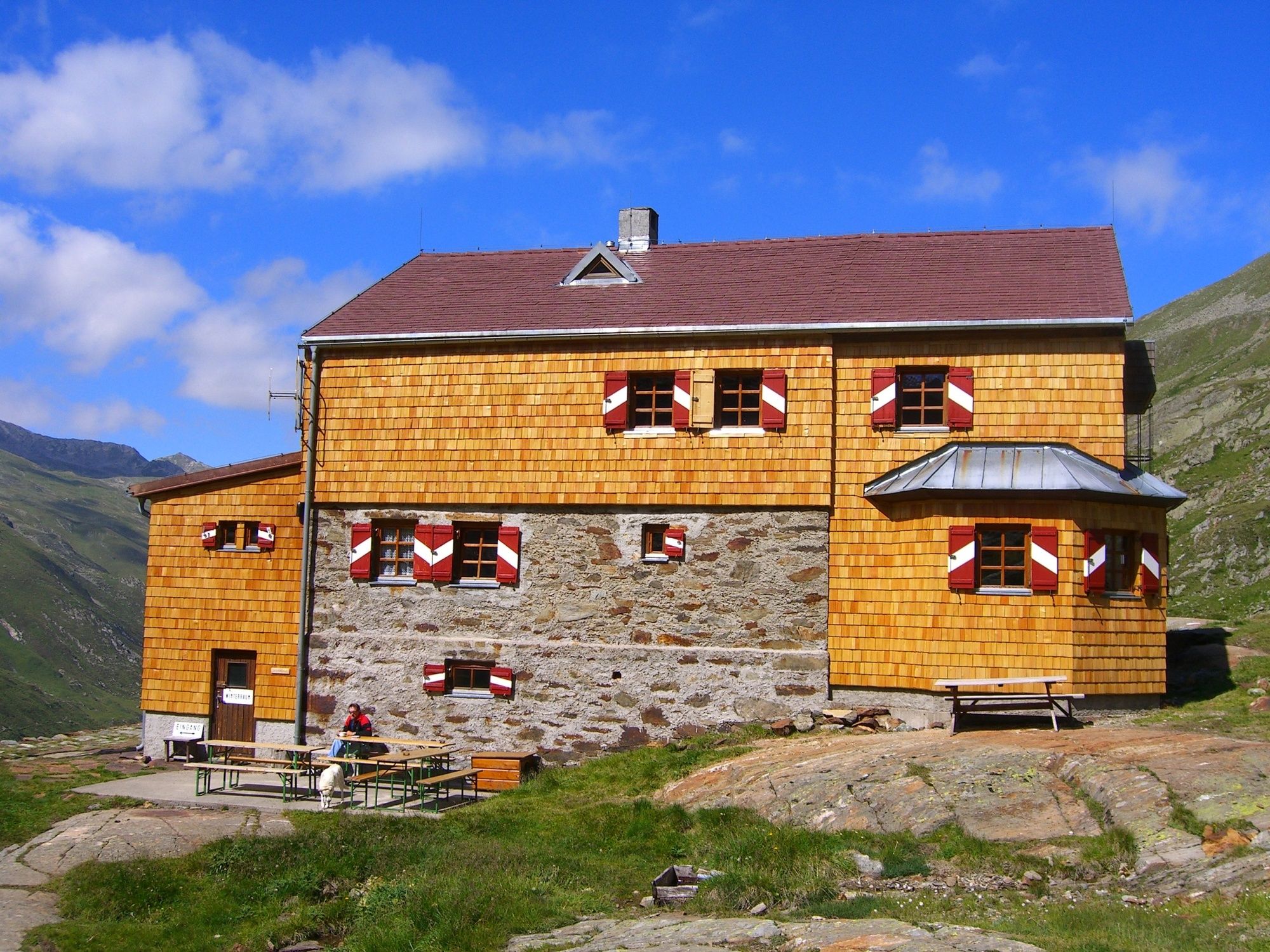
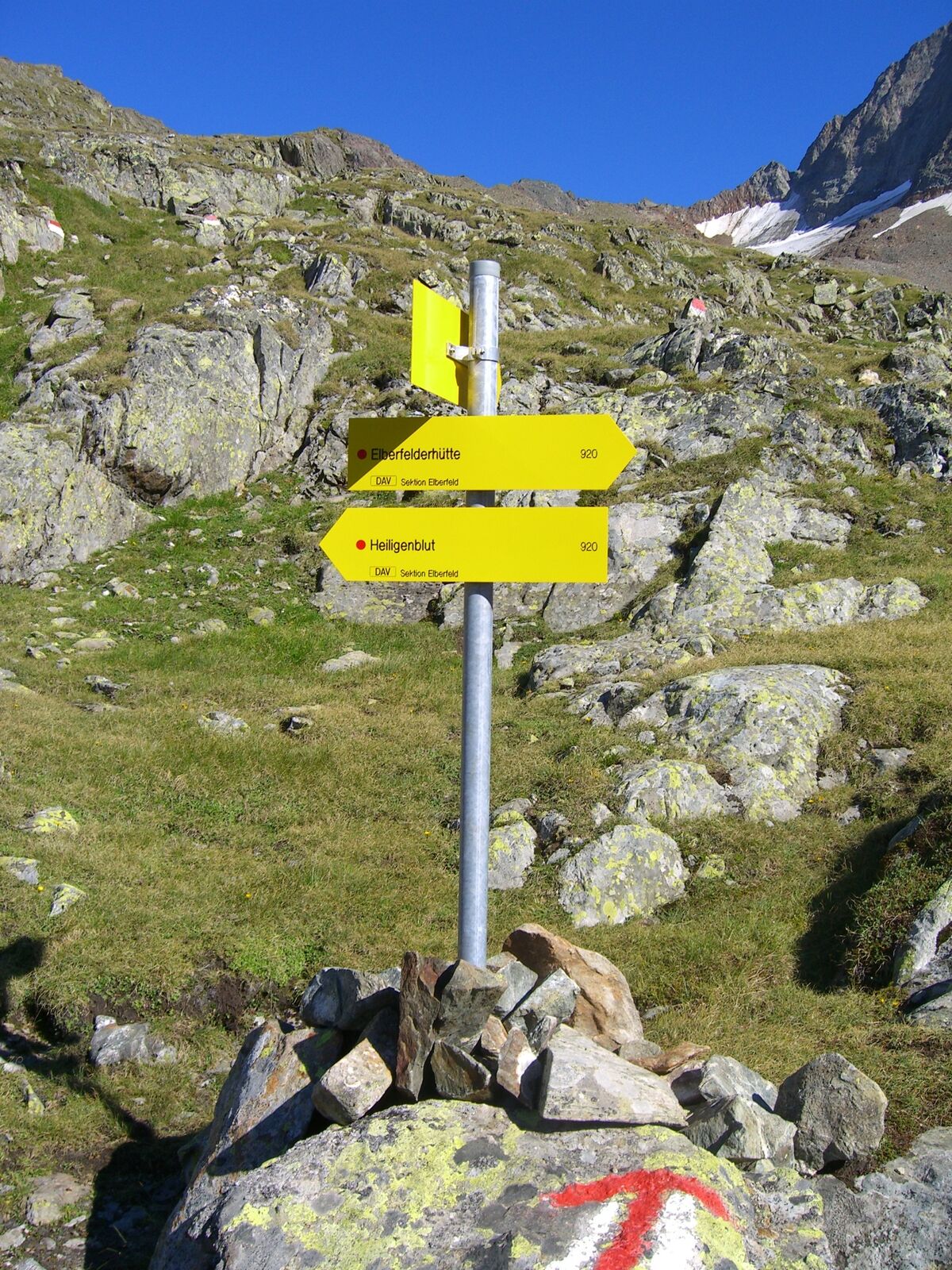
WinklHinterm-Holz-Alm (2,164 m)7.7 kmElberfelder Hütte (2,346 m)11.7 kmRoter Knopf (3,281 m)14.3 kmElberfelder Hütte (2,346 m)16.9 kmJh. (2,111 m)24.0 kmHochkaser (2,058 m)24.9 kmWirtsbaueralm (1,730 m)26.6 kmWinkl31.1 km
- Best season
-
JanFebMarAprMayJunJulAugSepOctNovDec
- Highest point
- 3,249 m
- Endpoint
-
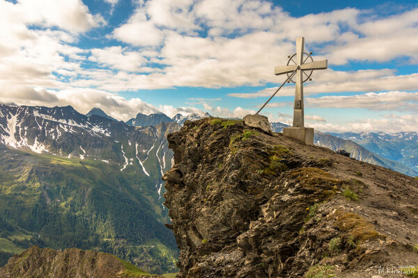
Roter Knopf
- Height profile
-

- Author
-
The tour Roter Knopf is used by outdooractive.com provided.
GPS Downloads


General info
Refreshment stop
A lot of view
Other tours in the regions