


- Brief description
-
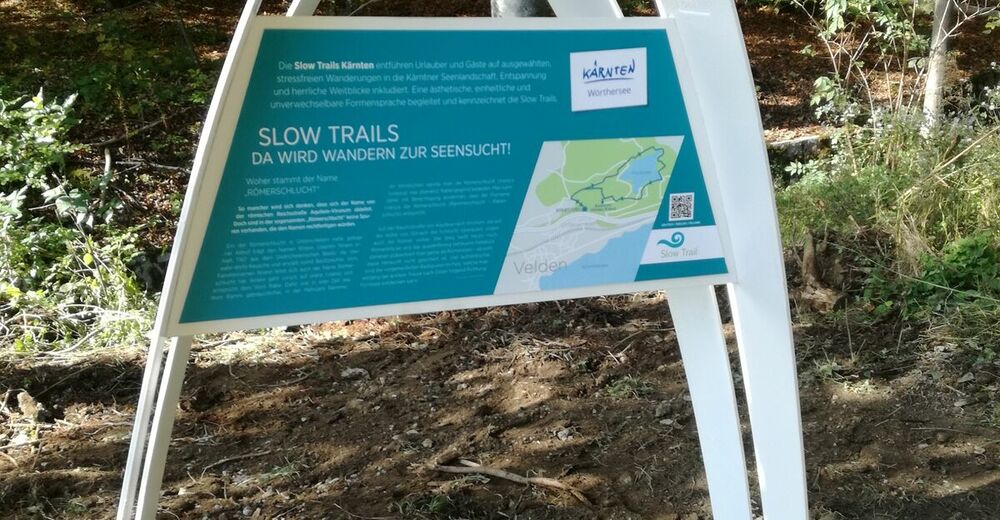
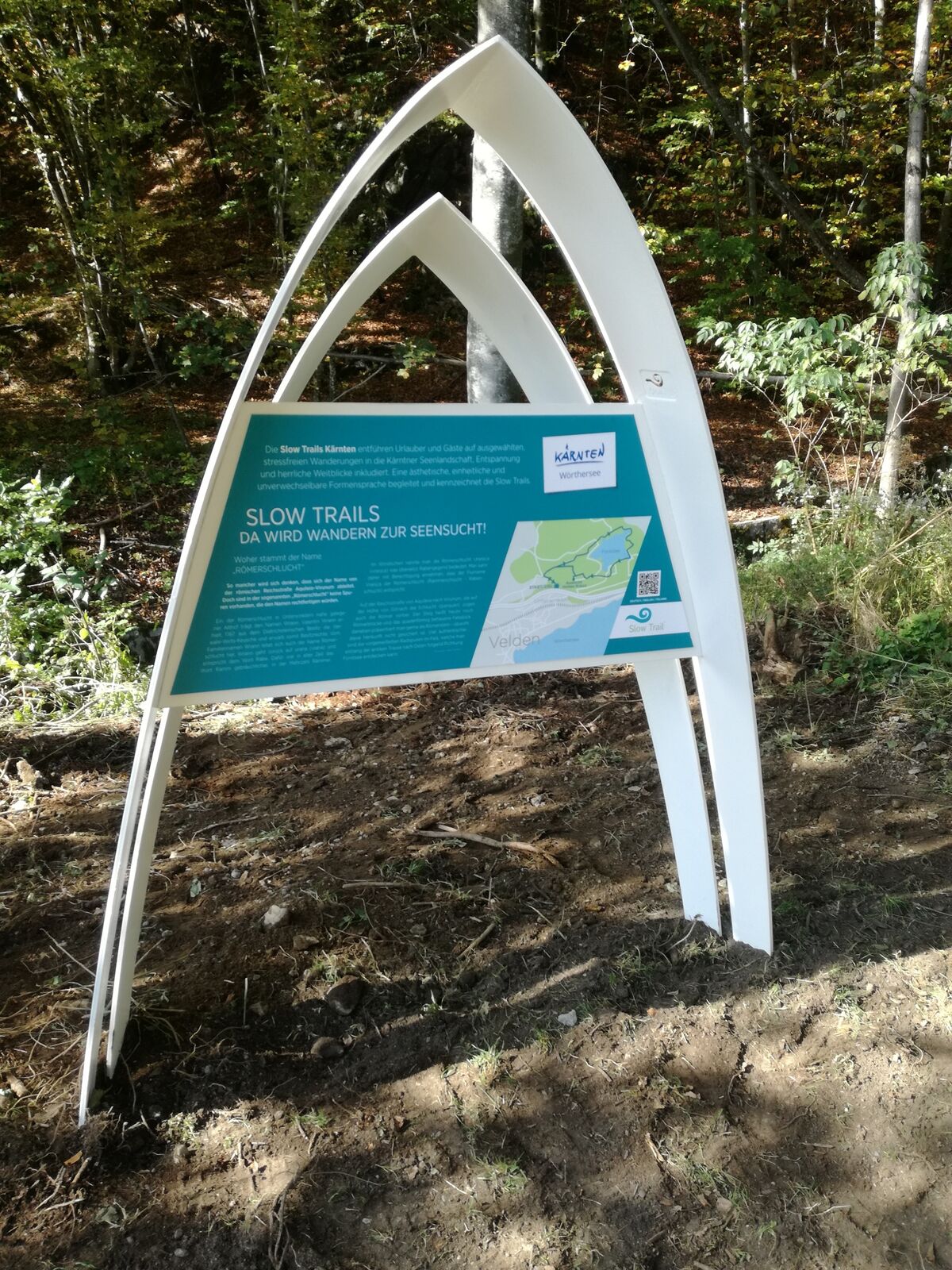
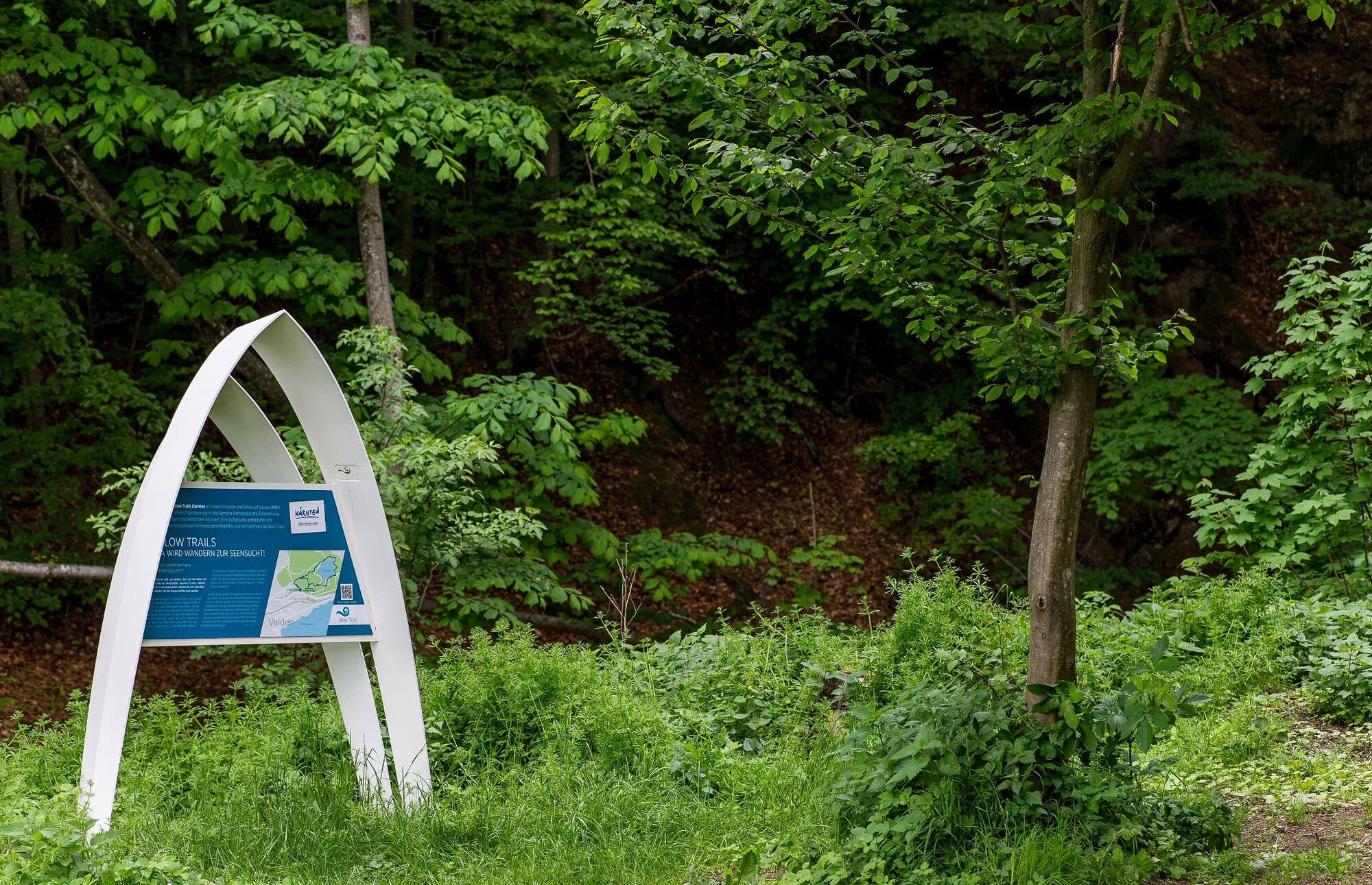
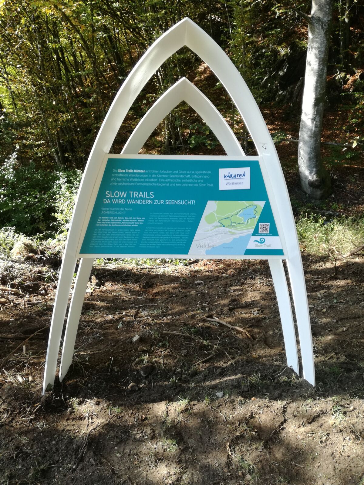
The Slow Trails Carinthia take holidaymakers and guests on selected, stress-free hikes in the Carinthian lake landscape, including relaxation and magnificent views. An aesthetic, uniform and unmistakable design language accompanies and characterises the Slow Trails.
- Difficulty
-
medium
- Rating
-
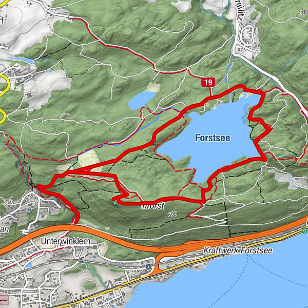
- Route
-
VeldenRömerschlucht0.1 kmRömerschlucht6.5 kmVelden6.8 km
- Best season
-
JanFebMarAprMayJunJulAugSepOctNovDec
- Description
-
A SLOW TRAIL on Lake Wörthersee could not start more beautifully: at the landing stage in Velden, hikers are greeted by the imposing mustard-yellow façade of the well-known Schlosshotel in Velden. The feeder road to the actual trail takes us initially along the promenade past the back of Casino Velden up to the main street in Velden.
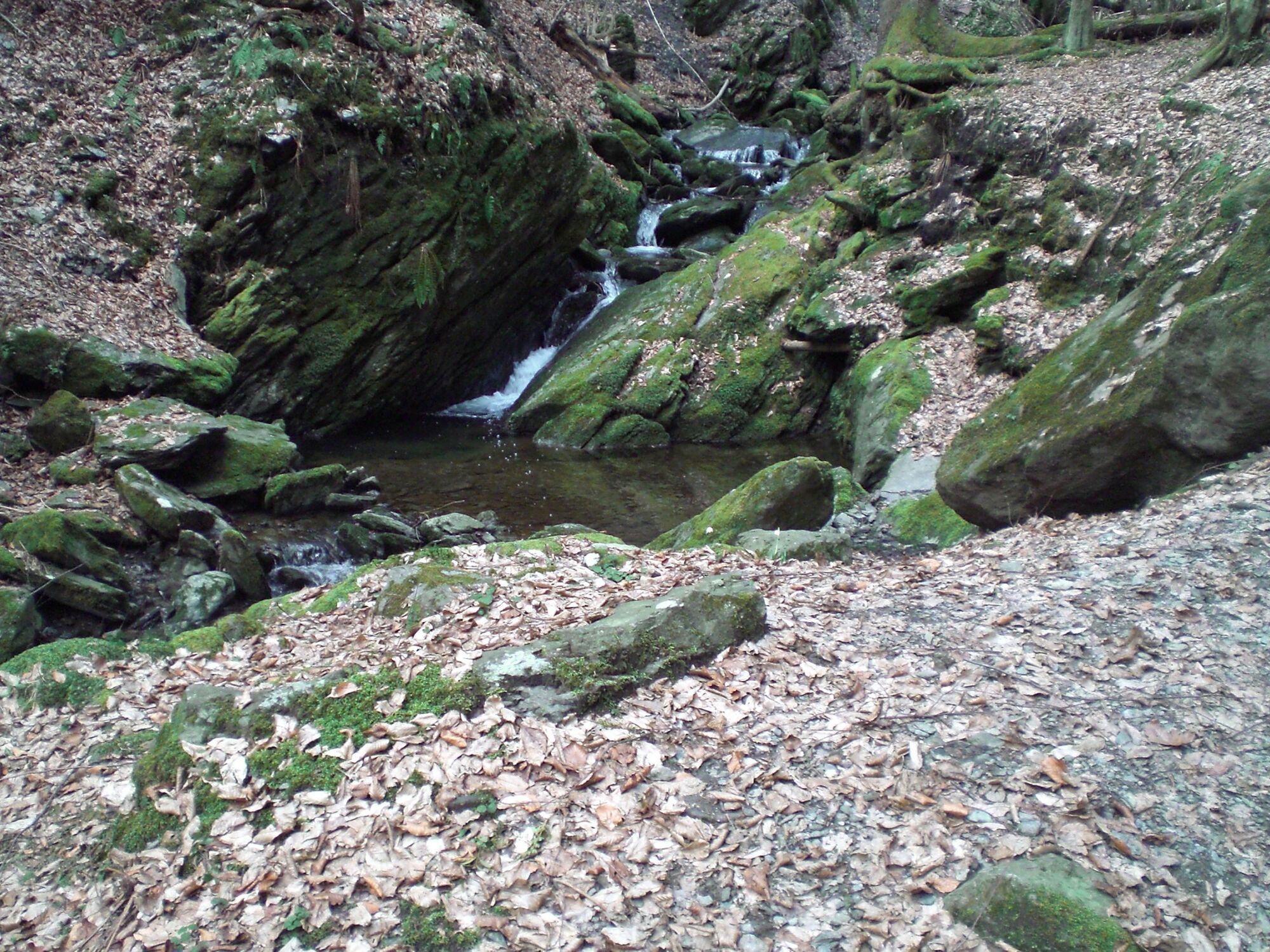
Just a few kilometres later we pass the starting point of the SLOW TRAIL at the Franzosenkirche. While a short part of the route takes us through the outskirts of Velden, the actual hiking experience begins with the entrance to the Roman Gorge.
The path climbs gently along the Göriacher Bach stream up to the Römerbrücke bridge. The combination of the gentle babbling of the stream and the rustling of the green canopy of leaves convey a decelerating feeling and invite you to pause.
At the Römerbrücke bridge, the trail turns sharply to the right and leads slightly uphill on a wide, easily passable path towards the Forstsee lake.
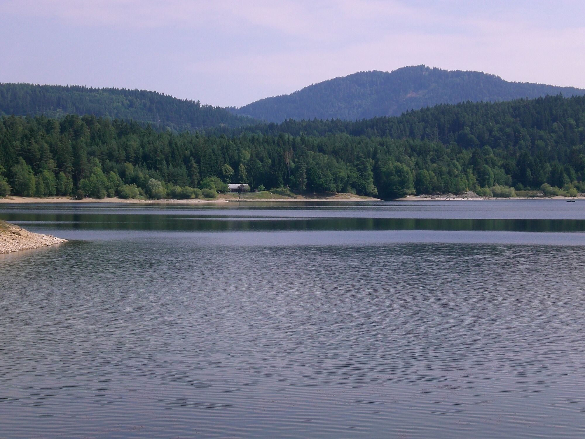
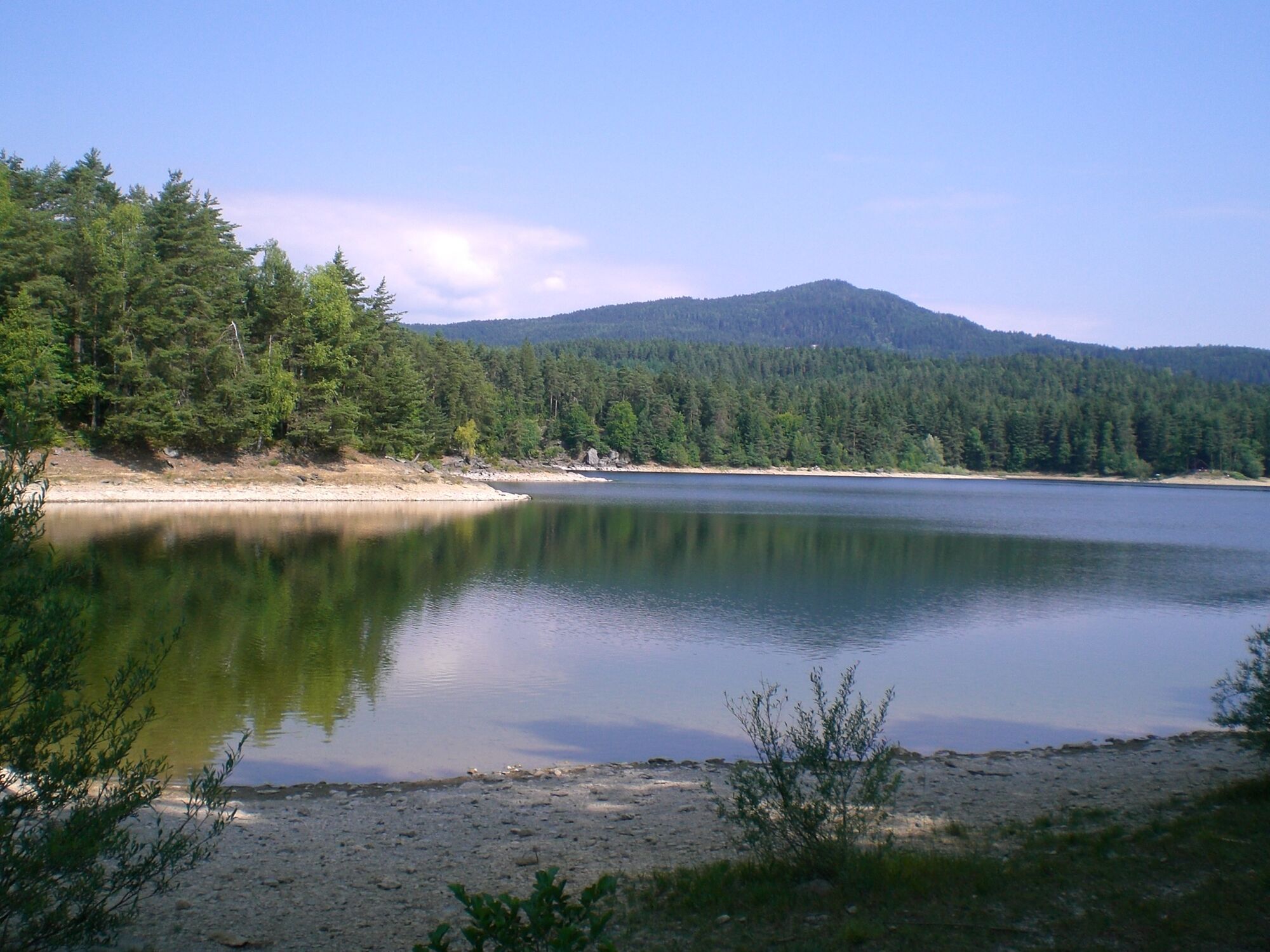
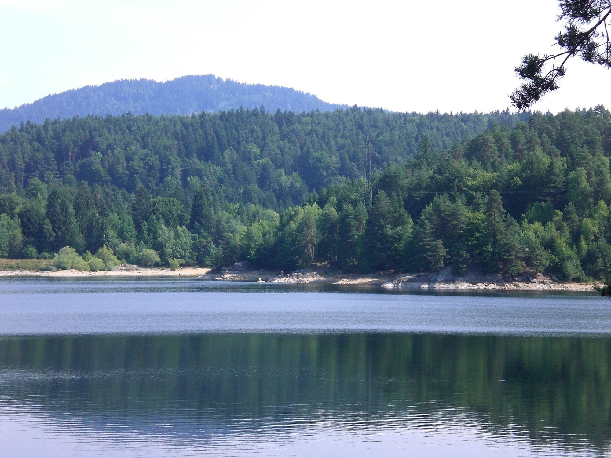
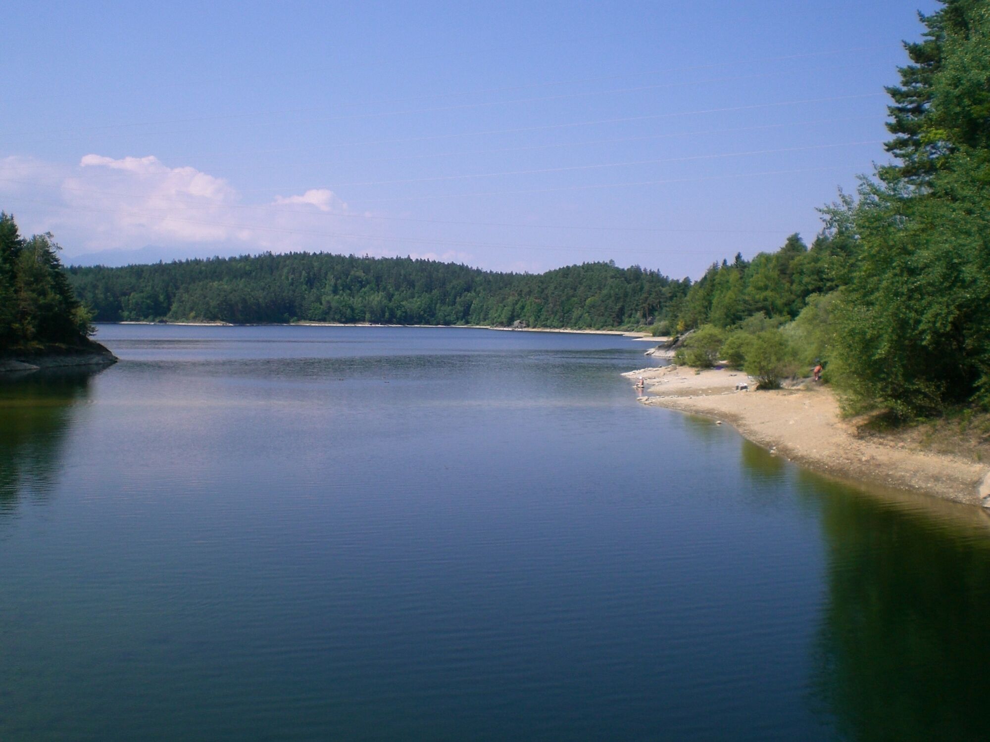
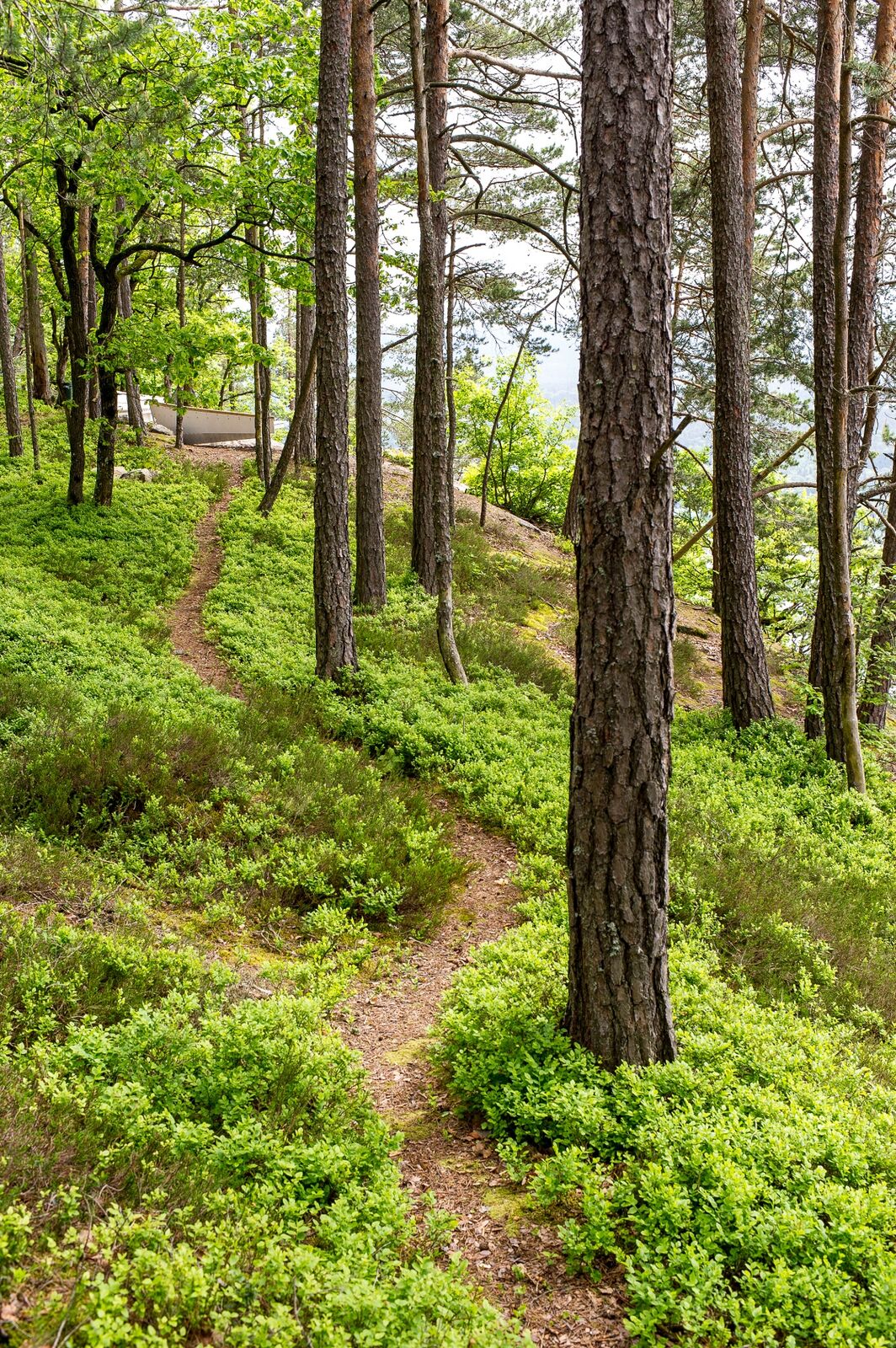
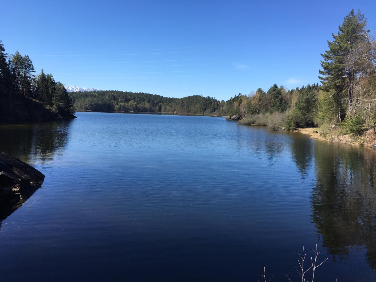
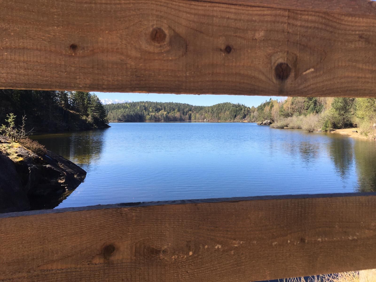
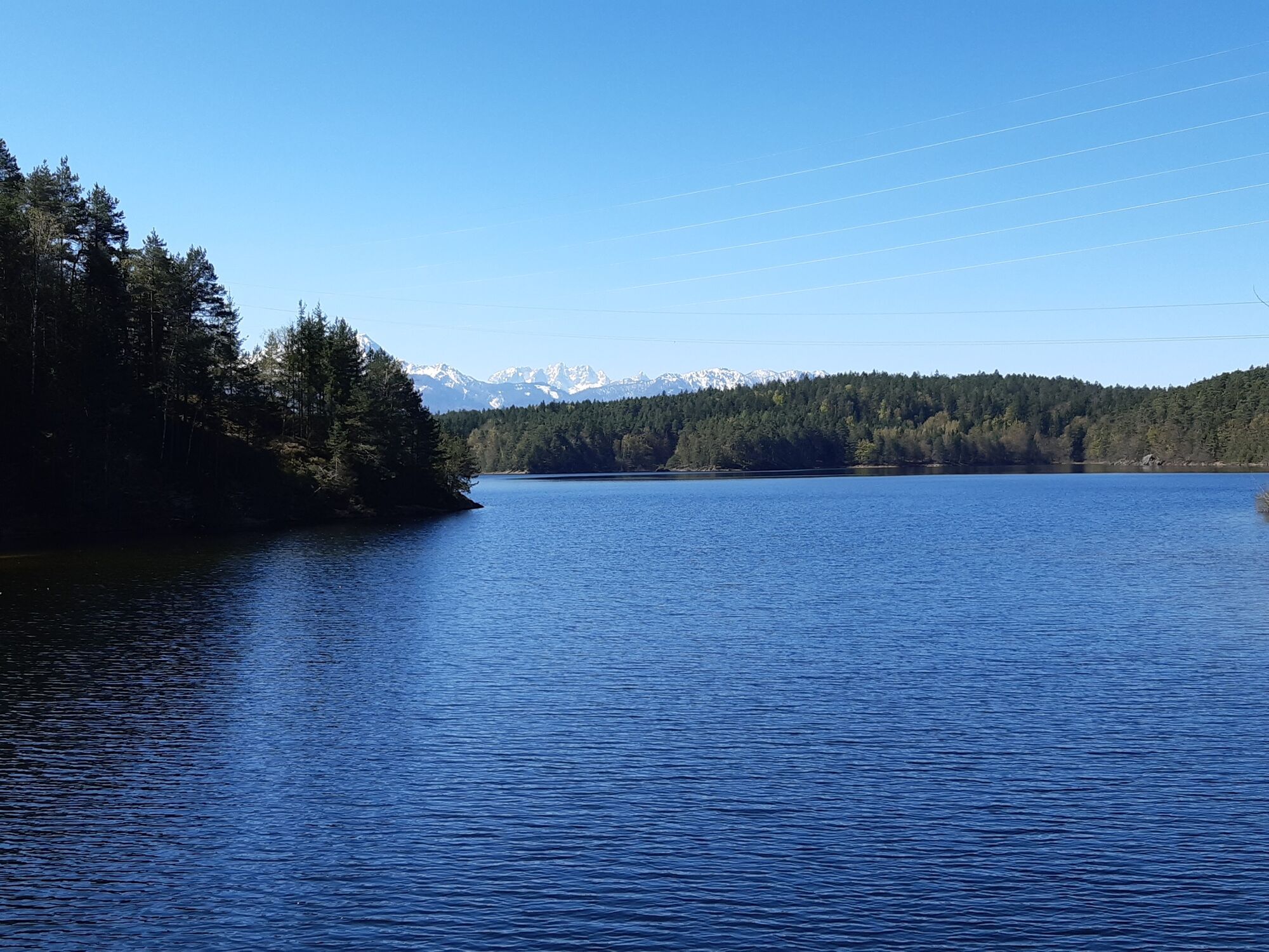
This idyllically situated natural lake is a popular destination for wild bathers, hikers, runners, fishermen or simply nature lovers almost all year round. The approx. 3 km long path to the Forstsee offers alternating well hikable forest paths, combined with challenging single trails.
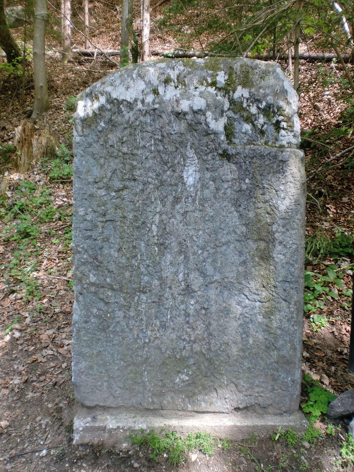
Past a wrought-iron memorial cross, the well-marked trail leads partly through ferns and grasses. On early morning hikes, it can happen that your clothing gets a little morning dew.
The beginning of the Forstsee area is marked by a path barrier. On the generous wide path you quickly discover the Forstsee lake on your right.
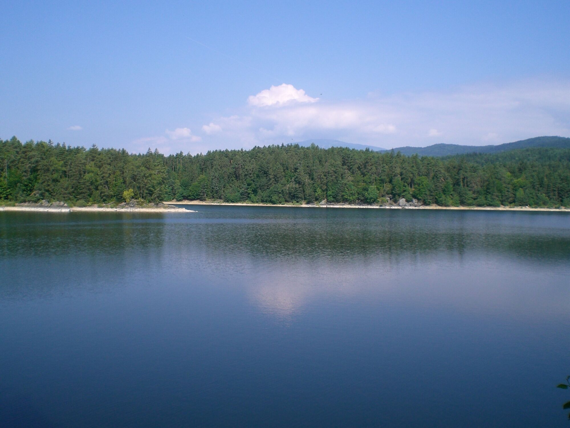
The SLOW TRAIL circles the Forstsee almost completely, with the north side still running directly along the shore of the Forstsee. The trail along the south side leads us away from the lake at the beginning, into a very atmospheric section with beautiful, easily accessible hiking trails.
Occasionally you meet hikers. In the back third of the lake circuit, the path leads over small footbridges past short, towering rock walls. Here you almost walk over the water. However, the path is well secured and easy to follow even for less experienced hikers.
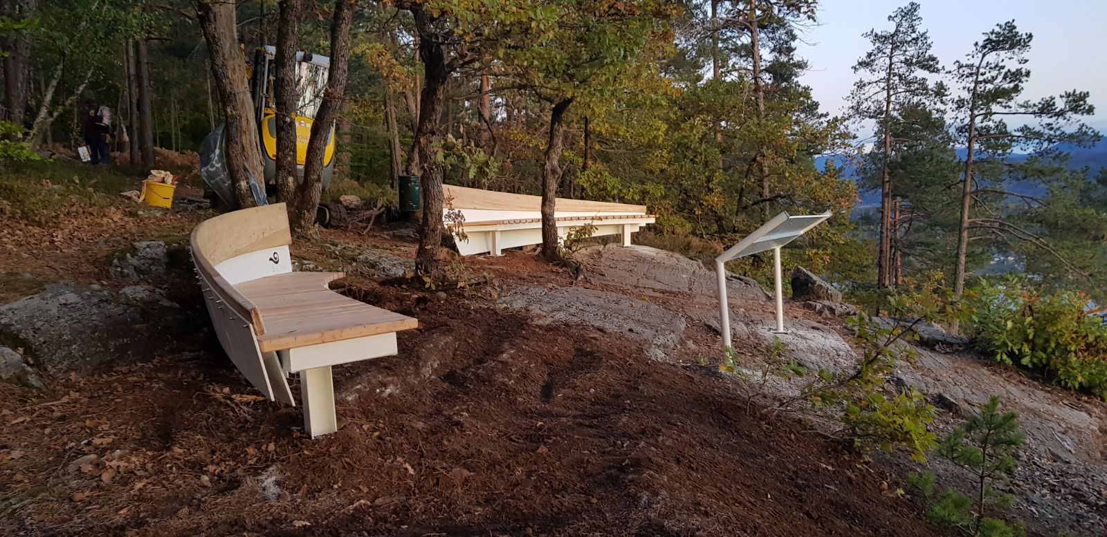
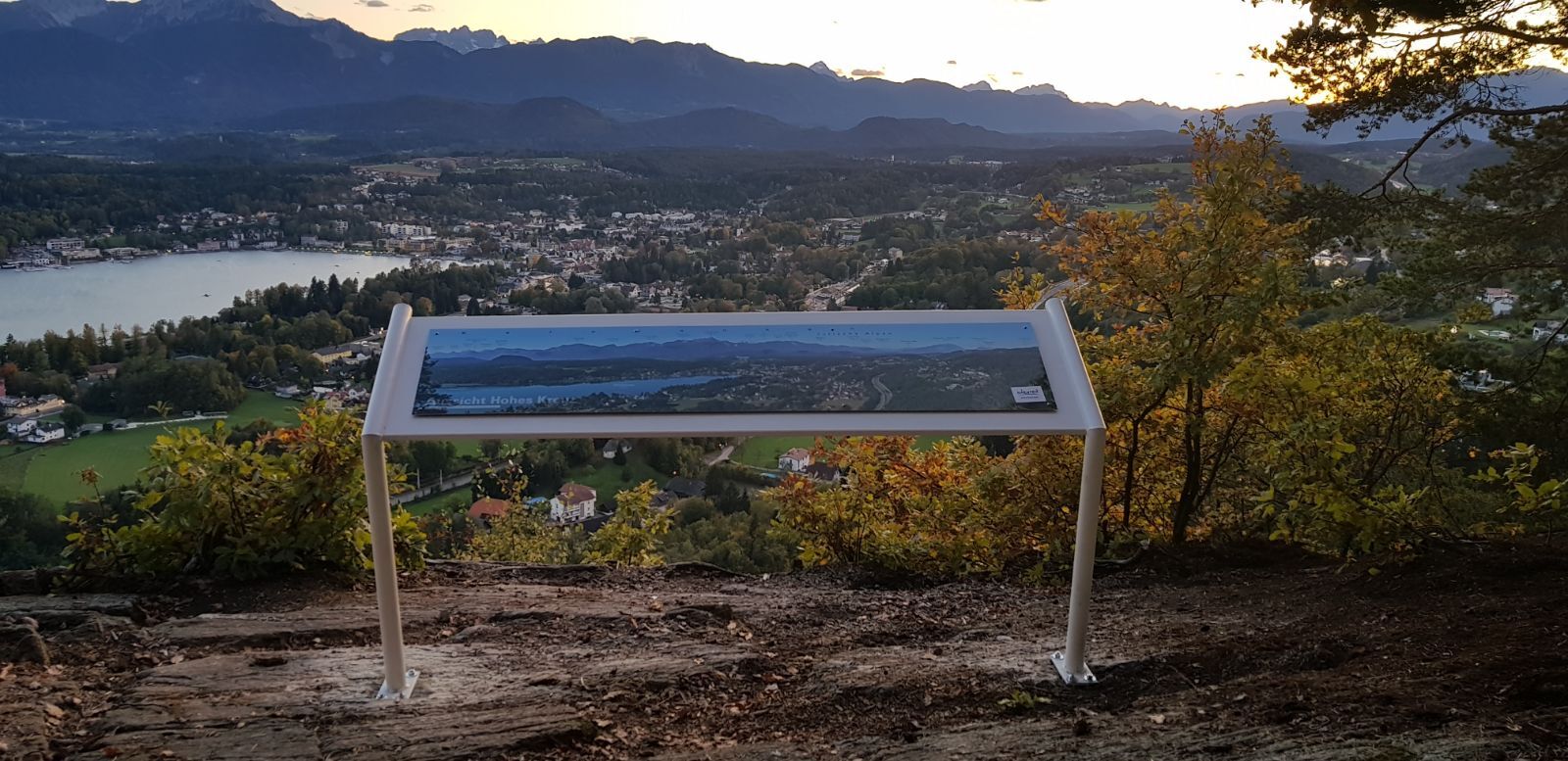
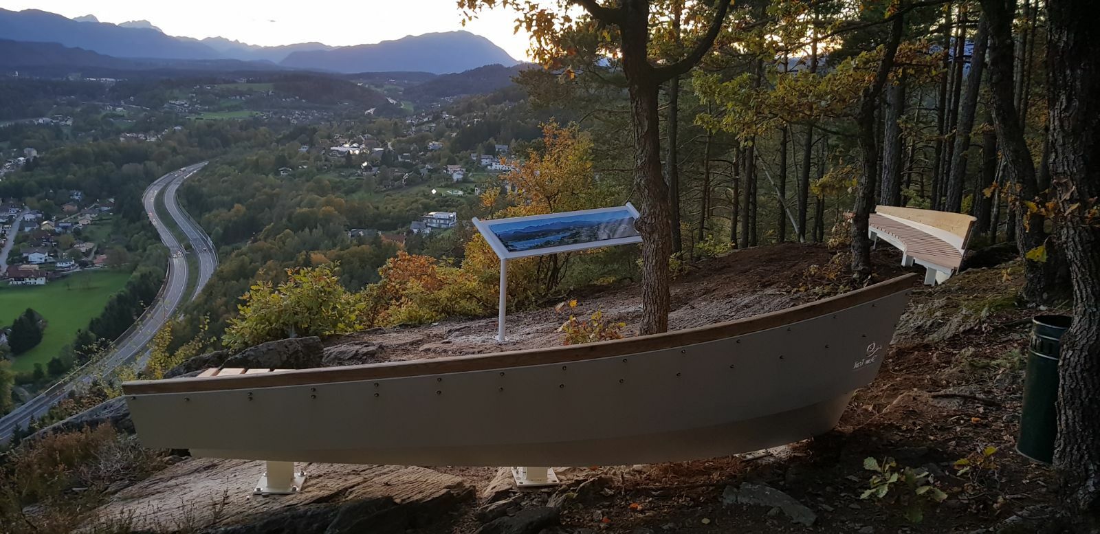
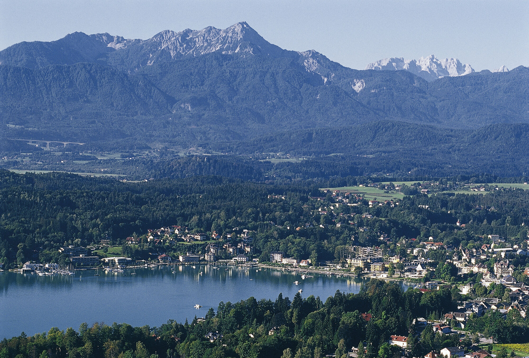
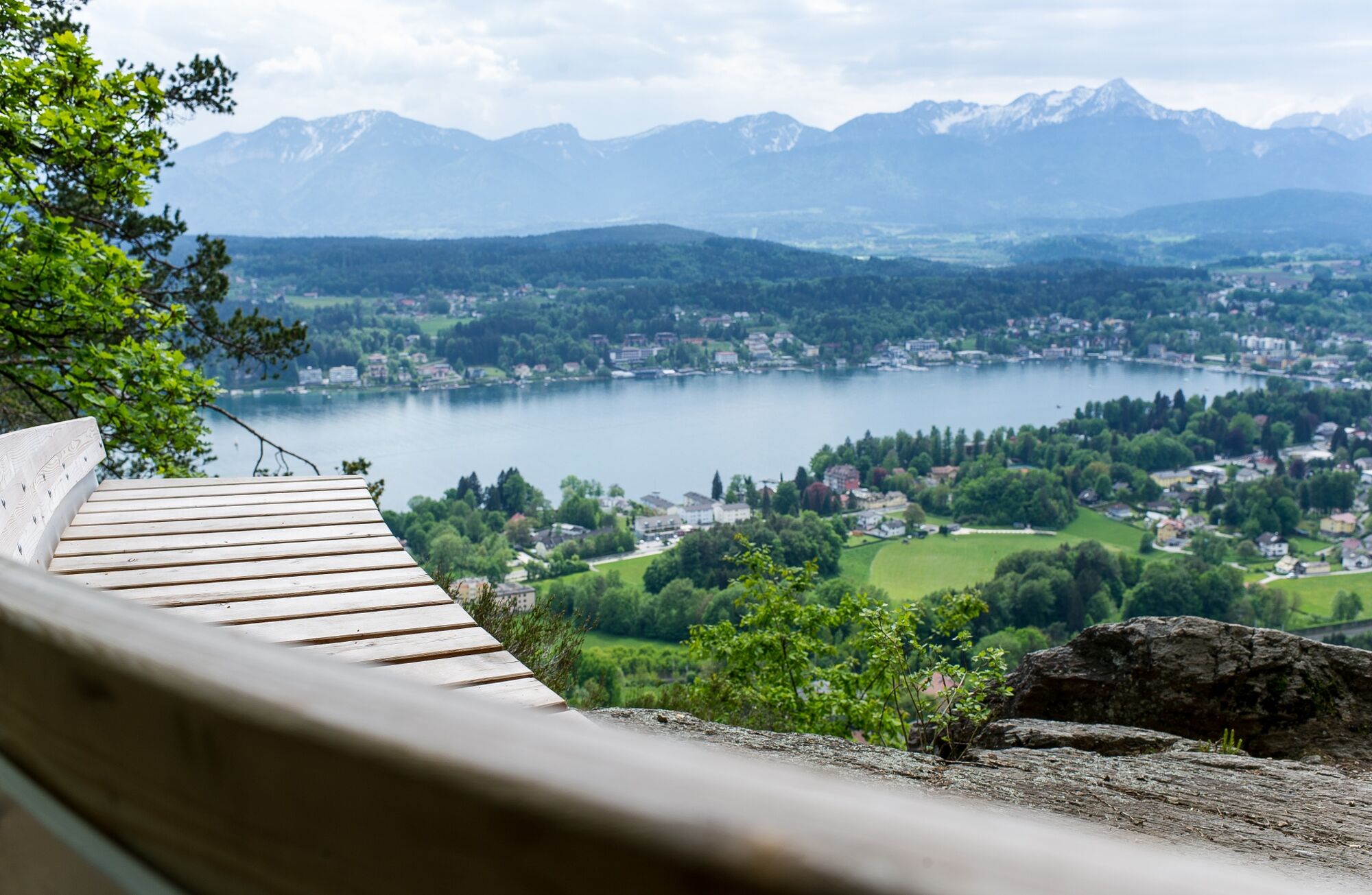
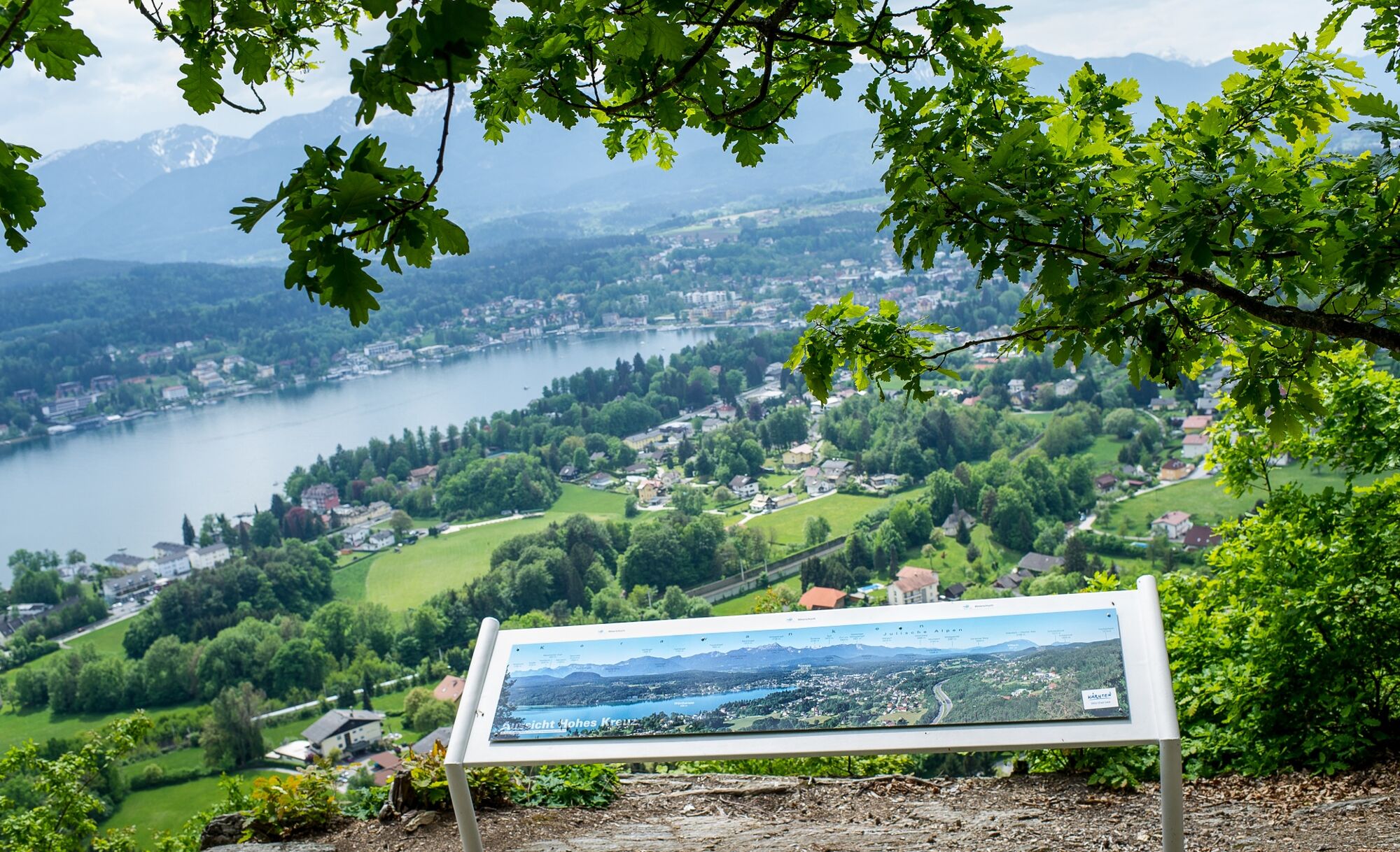
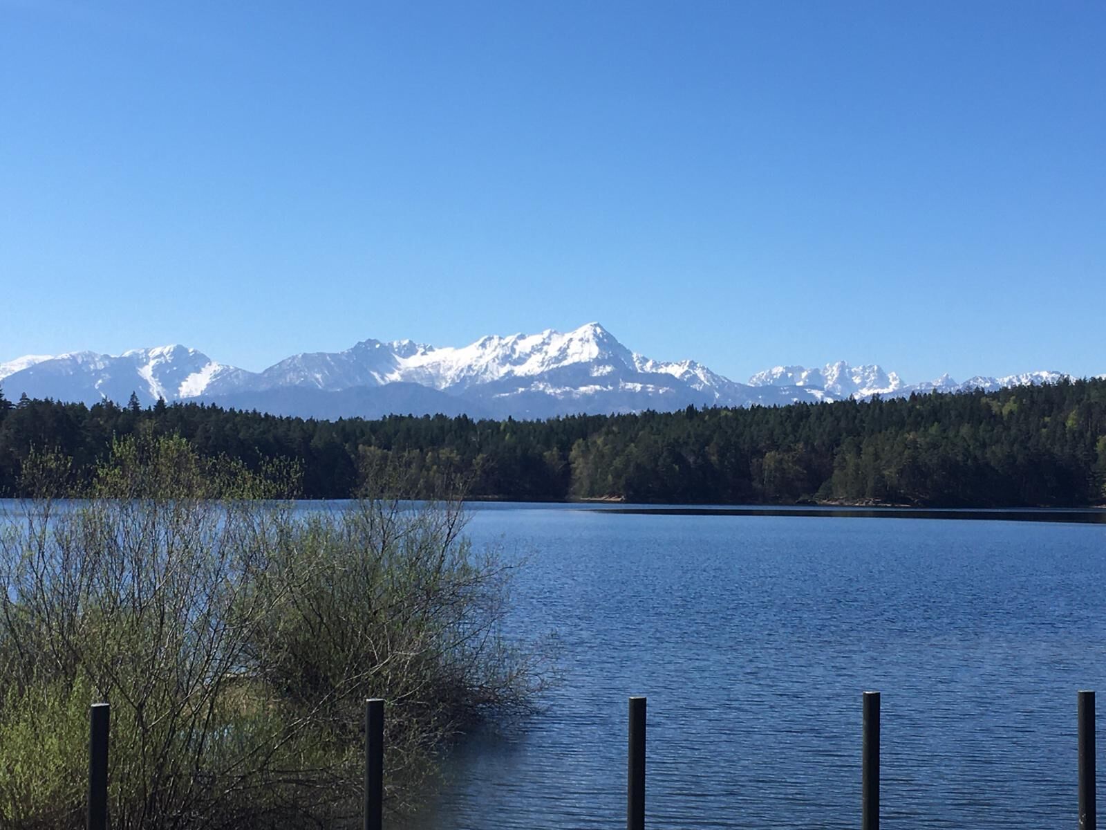
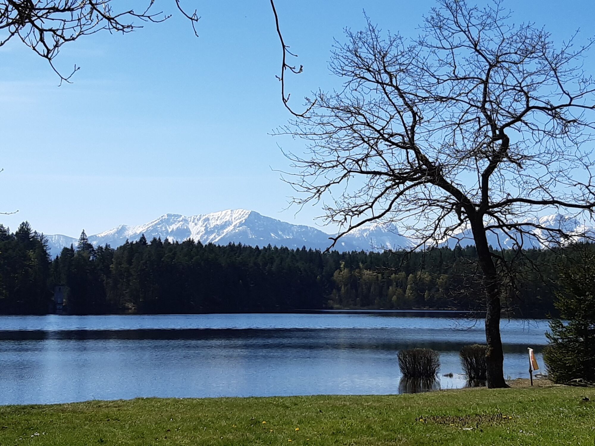
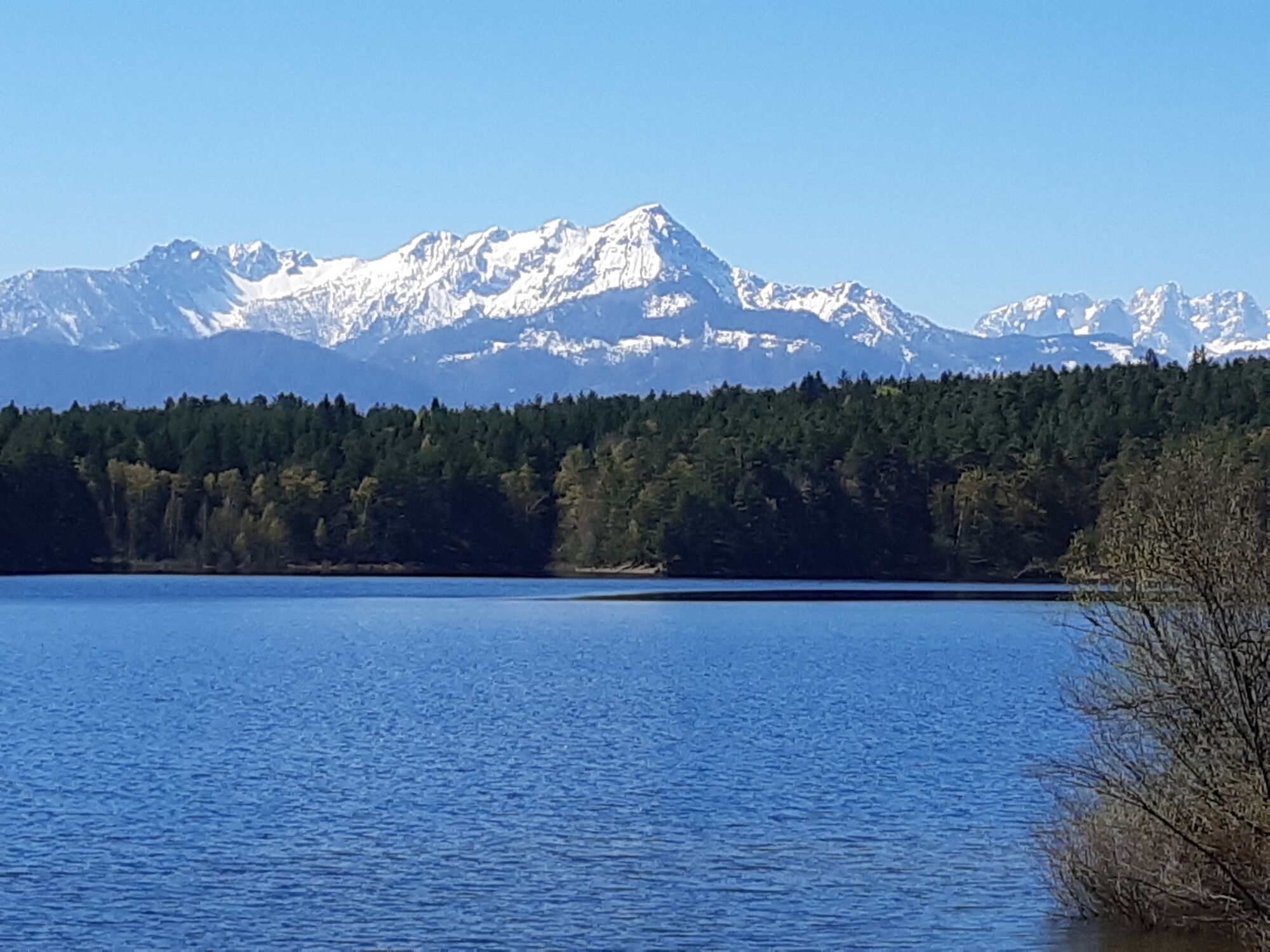
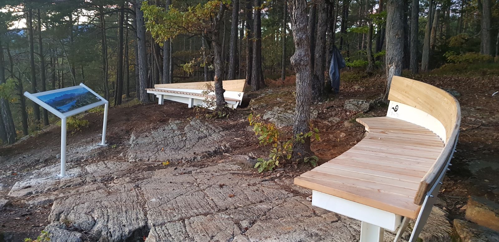
The next destination is the "Hohes Kreuz" view. To do this, you briefly leave the designated hiking trail to enjoy a fantastic view over the entire Velden Bay, the Karawanken and Julian Alps.
Back on the actual SLOW TRAIL, the route then goes quickly downhill back to the centre of Velden.
- Directions
-
From the car park at the Franzosenkirche along the signposted Forstsee circuit through the Römerschlucht, around the Forstsee to the "Hohes Kreuz" view and through the Römerschlucht back to the starting point.
- Highest point
- 655 m
- Endpoint
-
Franzosenkirche Velden
- Height profile
-

- Directions
-
On the A2 or B83 to Velden and the Franzosenkirche church
- Public transportation
-
Arrival by train, bus or boat Velden possible
- Parking
-
Car park at the Franzosenkirche


- Author
-
The tour Slow Trail Römerschlucht is used by outdooractive.com provided.