


- Brief description
-
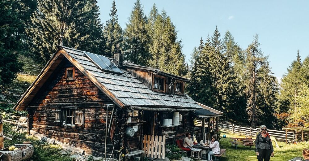
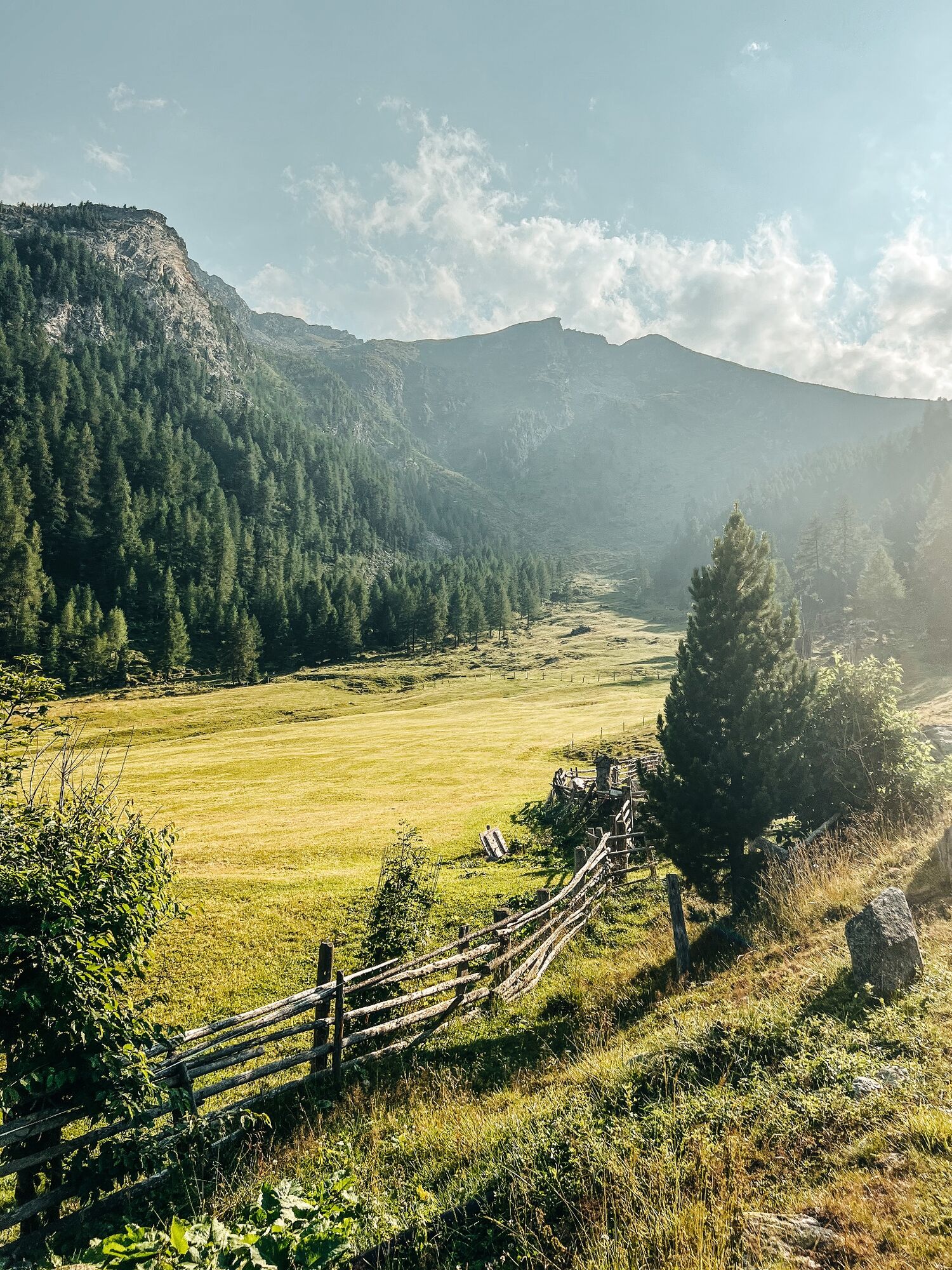
Wanderung ausgehend vom Dorfplatz Katschberg, vorbei an der bewirtschafteten Pritzhütte über die unbewirtschafteten Hütten: Almfried, Dokteralm, Wengeralm bis zur urigen Stöcklalm
- Difficulty
-
medium
- Rating
-
- Starting point
-
Katschberg tourist information
- Route
-
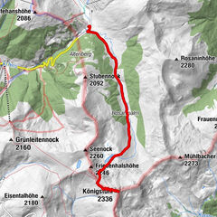
KatschbergPritzhütte3.7 kmDoktoralm5.7 kmDoktoralm11.3 kmPritzhütte13.3 kmKatschberg17.1 km
- Best season
-
JanFebMarAprMayJunJulAugSepOctNovDec
- Directions
-
From Katschberg tourist information follow trail no. 20 through Katschberg hotel village, passing through the tunnel at Restaurant Stamperl, then continue uphill, always staying on this road (2nd tunnel), and passing Gasthof Bacher. This road becomes a forest trail that leads through the forest to Pritzhütte in Gontal. Continue upwards beyond Haus Almfried until the trail leads down to Doktoralm (both unmanaged), and keep to the marked path until you reach the wonderfully situated original Stöcklalm. Here you can enjoy homemade cuisine. Return via the same route.
- Highest point
- 1,833 m
- Height profile
-


- Author
-
The tour Wanderung Katschberghöhe - Stöcklalm is used by outdooractive.com provided.