
- Difficulty
-
medium
- Rating
-
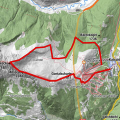
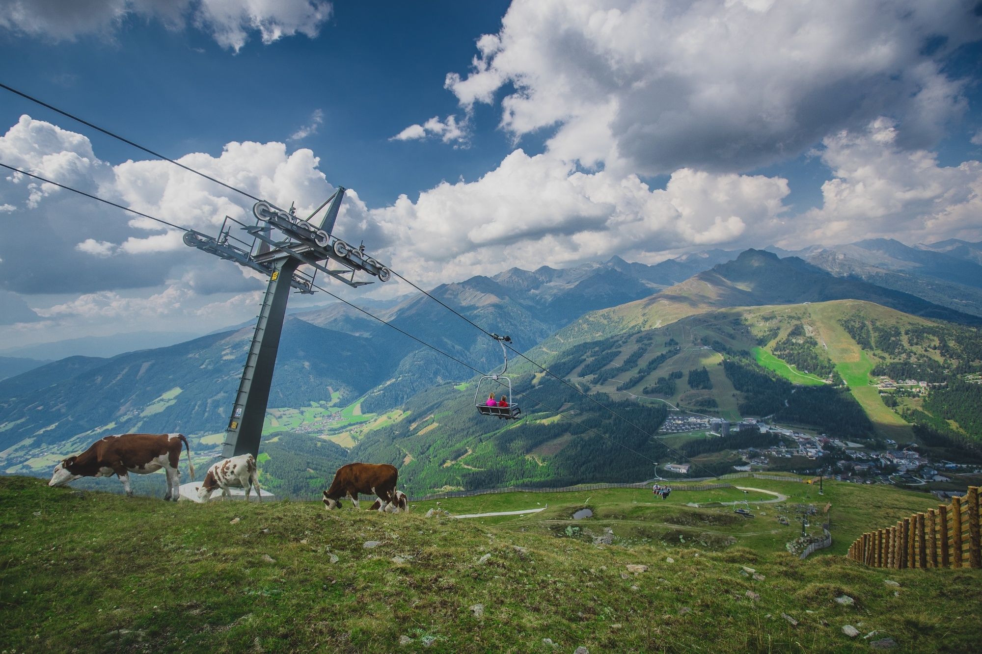
- Starting point
-
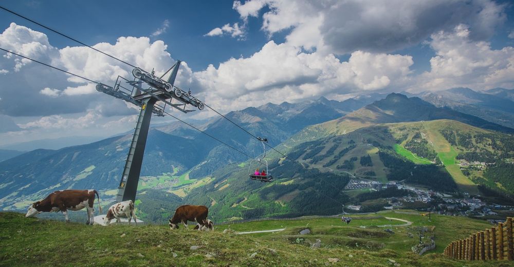
Aineckbahn mountain station
- Route
-
AdlerhorstAineck (2,210 m)0.0 kmKatschberg10.2 kmKatschberghöhe (1,641 m)10.3 km
- Best season
-
JanFebMarAprMayJunJulAugSepOctNovDec
- Directions
-
Option 1: start at Aineckbahn valley station, where you can take the funicular up the mountain (check opening times), or you can go up on foot on trail no. 111. This trail is steep in some places and leads to Adlerhorst (duration is 2 hours longer if you don’t take the funicular). Once you’ve arrived at the Aineck by foot or by funicular, walk on the other side of the mountain, taking path C down to Branntweiner Hütte and/or Köβlbacher Alm (both managed). Then take path B to the St. Martin / St. Michael / Katschberghöhe junction. On the forest path, go left towards Katschberg on path A, which leads slightly uphill and downhill back to Katschberghöhe.
Option 2: take the Aineckbahn funicular up the Aineck and continue on foot on path 111 to the starting point – Aineckbahn funicular valley station. Duration approximately 1 to 1.5 hours.
Normal 0 21 false false false DE-AT X-NONE X-NONE MicrosoftInternetExplorer4
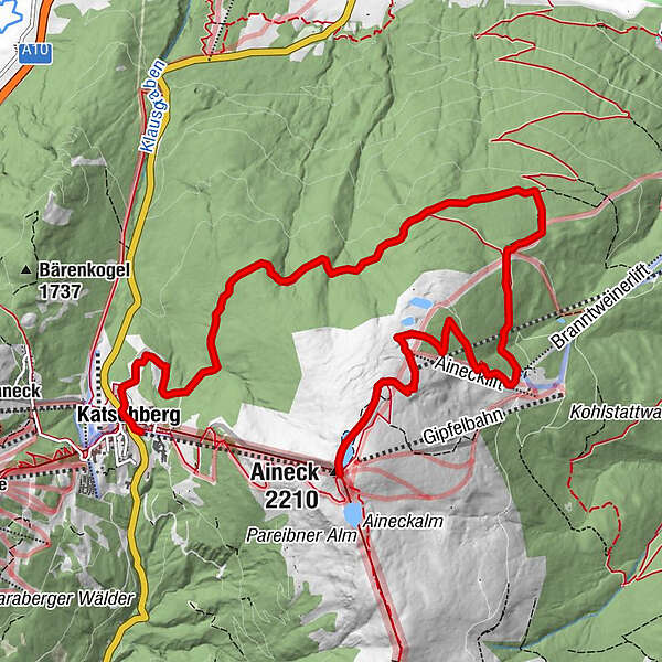
Option 3: take the Aineckbahn funicular up to the Aineck, continue along mountain trail no. 111 to the Teuerlnock summit cross. From the summit take path no. 111 down towards Bonner Hütte until you reach the information board for Köβlbacher Alm – Branntweiner Hütte. Take the path on the left and continue along a narrow steep track, through mountain pastures until you reach the Köβlbacher Alm – Branntweiner Hütte (optional refreshment stop). From here take path no. C uphill to the Aineck mountain station. Duration: approximately 3 to 4 hours.
Option 4: take the Aineckbahn funicular up to the Aineck, then continue to Teuerlnock. From here walk through Lauβnitzer Alm to Bonner Hütte. You can either take the same route back to the Aineck or take a taxi back to Rennweg and then on to Katschberghöhe. Duration: approximately 3 to 4 hours there and back.
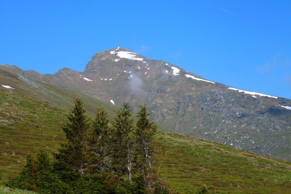
- Highest point
- 2,202 m
- Endpoint
-
Talstation Aineckbahn
- Height profile
-

- Author
-
The tour Round the Aineck (111/C/B/A) is used by outdooractive.com provided.