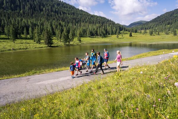

- Brief description
-
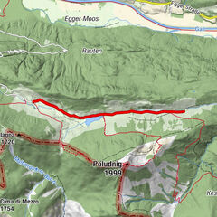
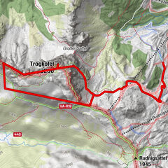
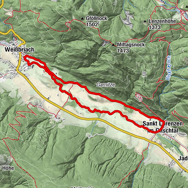
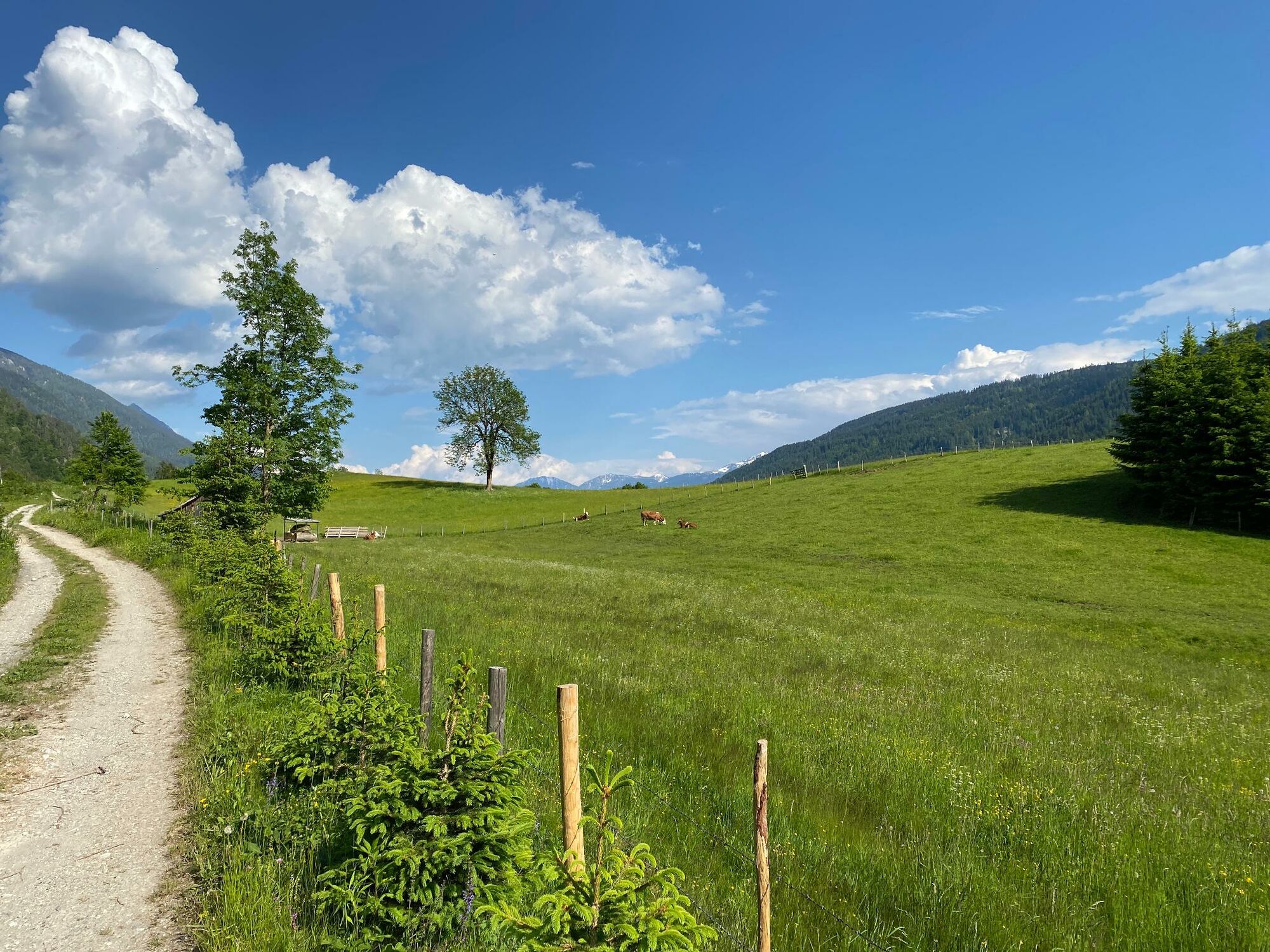
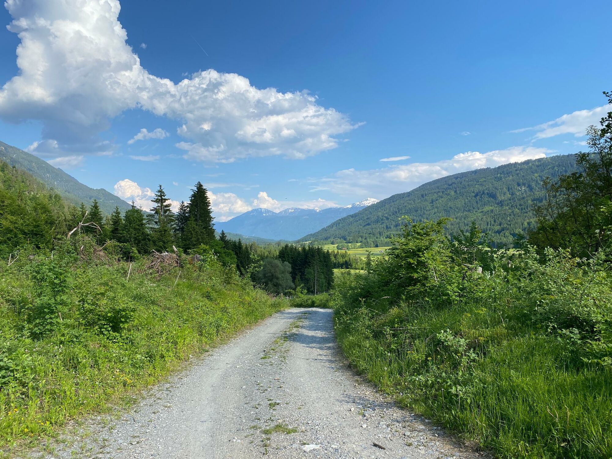
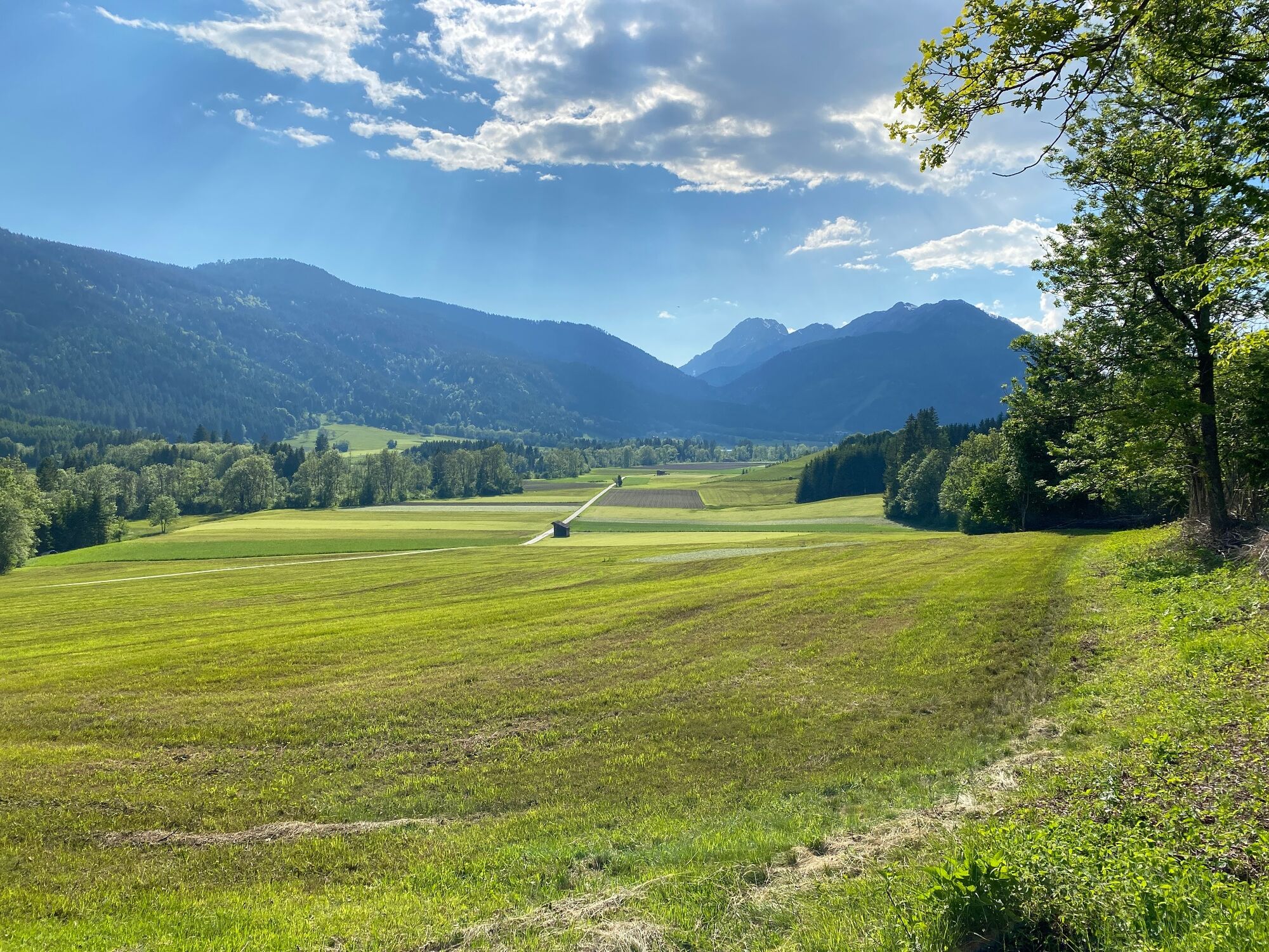
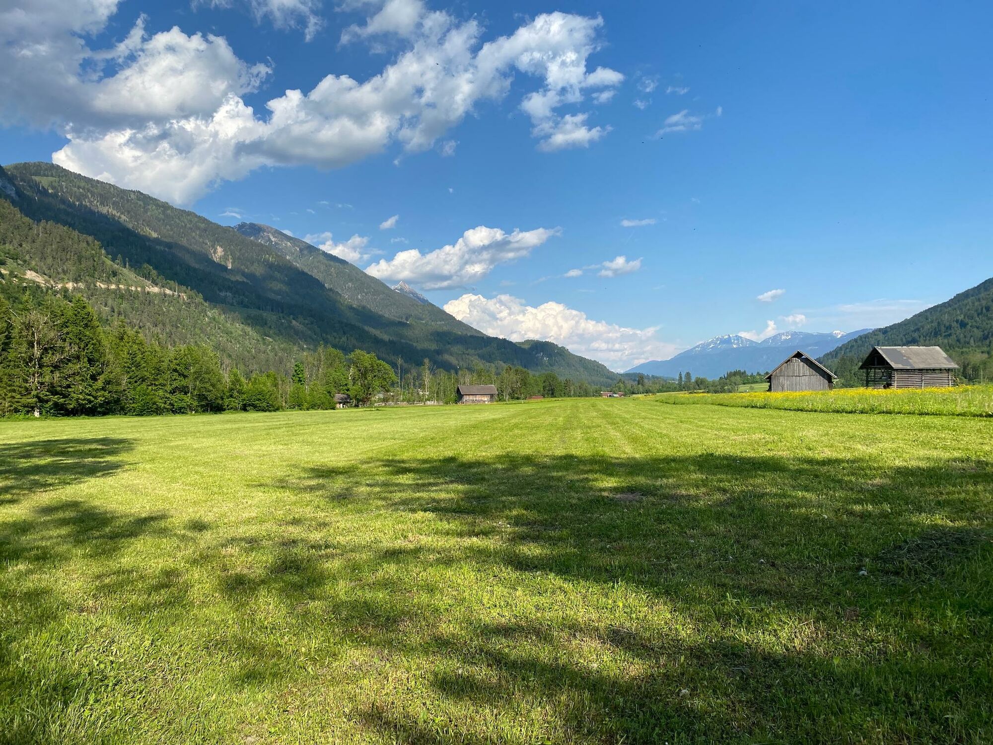
Walk on the sunny side of the Gitschtal from Weißbriach to St. Lorenzen im Gitschtal and along the Gössering back to Weißbriach - trail no. 1.
- Difficulty
-
medium
- Rating
-
- Starting point
-
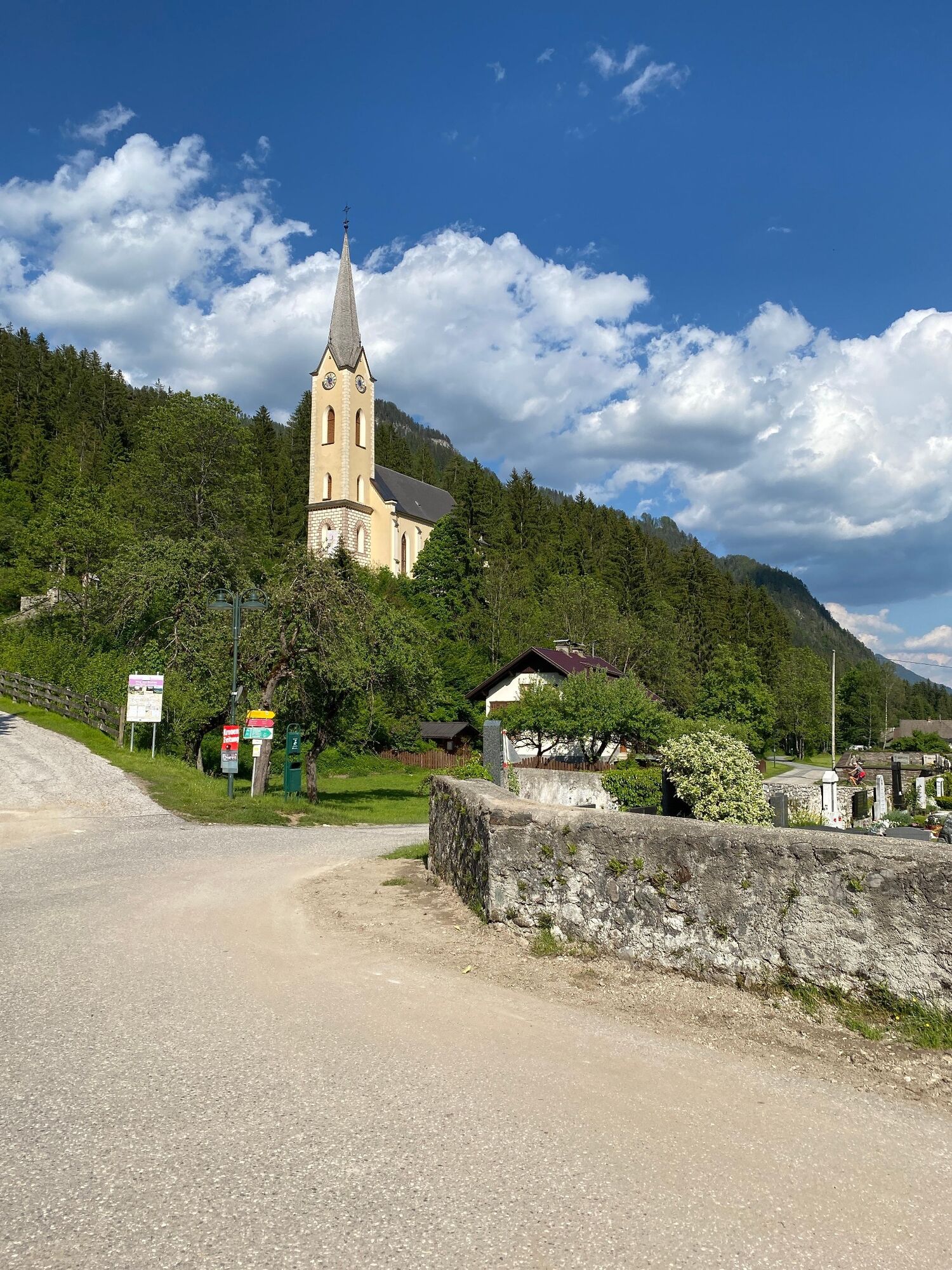
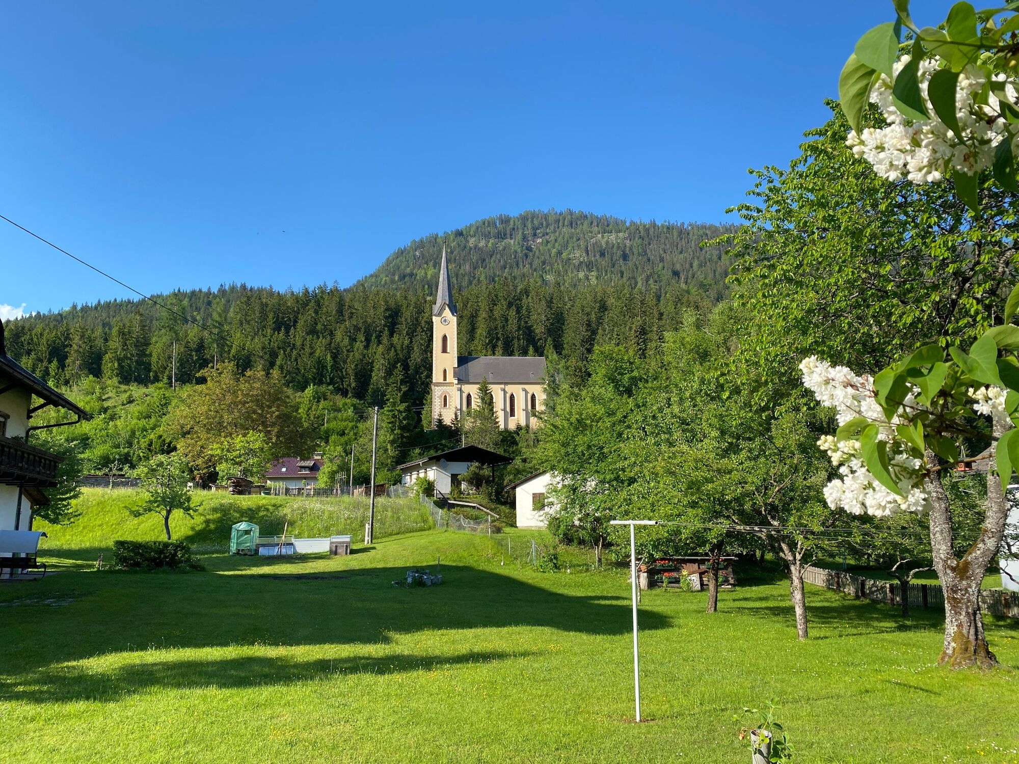
Protestant church in Weißbriach
- Route
-
WeißbriachGasthaus Stoffelbauer1.6 kmSankt Lorenzen im Gitschtal4.5 kmWeißbriach9.7 km
- Best season
-
JanFebMarAprMayJunJulAugSepOctNovDec
- Description
-
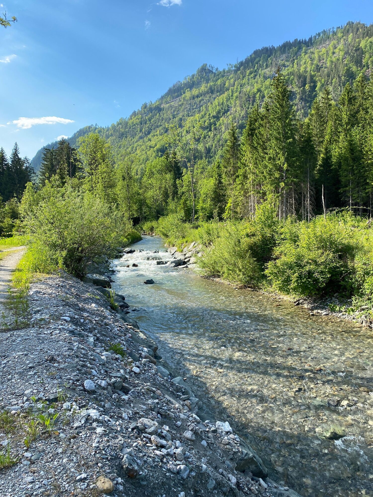
From the Protestant church in Weißbriach in the direction of Hermagor, past the Stoffelbauer farm and continue along a forest path to St. Lorenzen/G. - there turn right through the village to the Gössering bridge - after the bridge turn right - along the Gössering back to Weißbriach. Cross wooden footbridges to get back to the Protestant church.
- Directions
-
From the Protestant church in Weißbriach in the direction of Hermagor, past the Stoffelbauer farm and continue along a forest path to St. Lorenzen/G. - there turn right through the village to the Gössering bridge - after the bridge turn right - along the Gössering back to Weißbriach. Cross wooden footbridges to get back to the Protestant church.
- Highest point
- 784 m
- Endpoint
-
Protestant church in Weißbriach
- Height profile
-

- Equipment
-
If necessary rain gear, sun protection, drinks and snack
- Tips
-
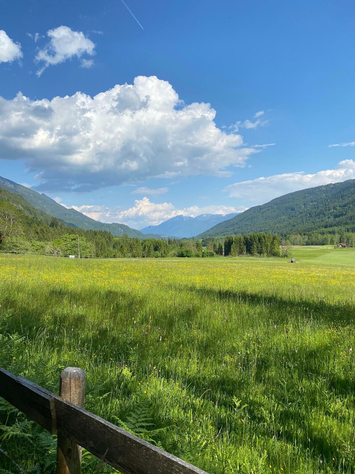
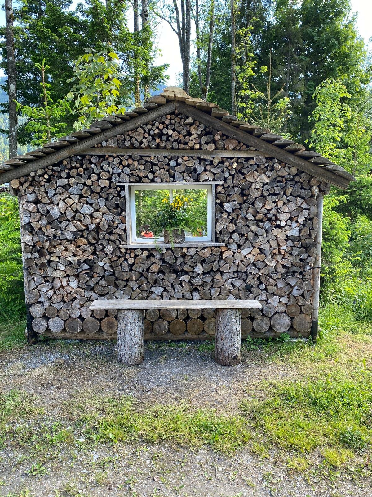
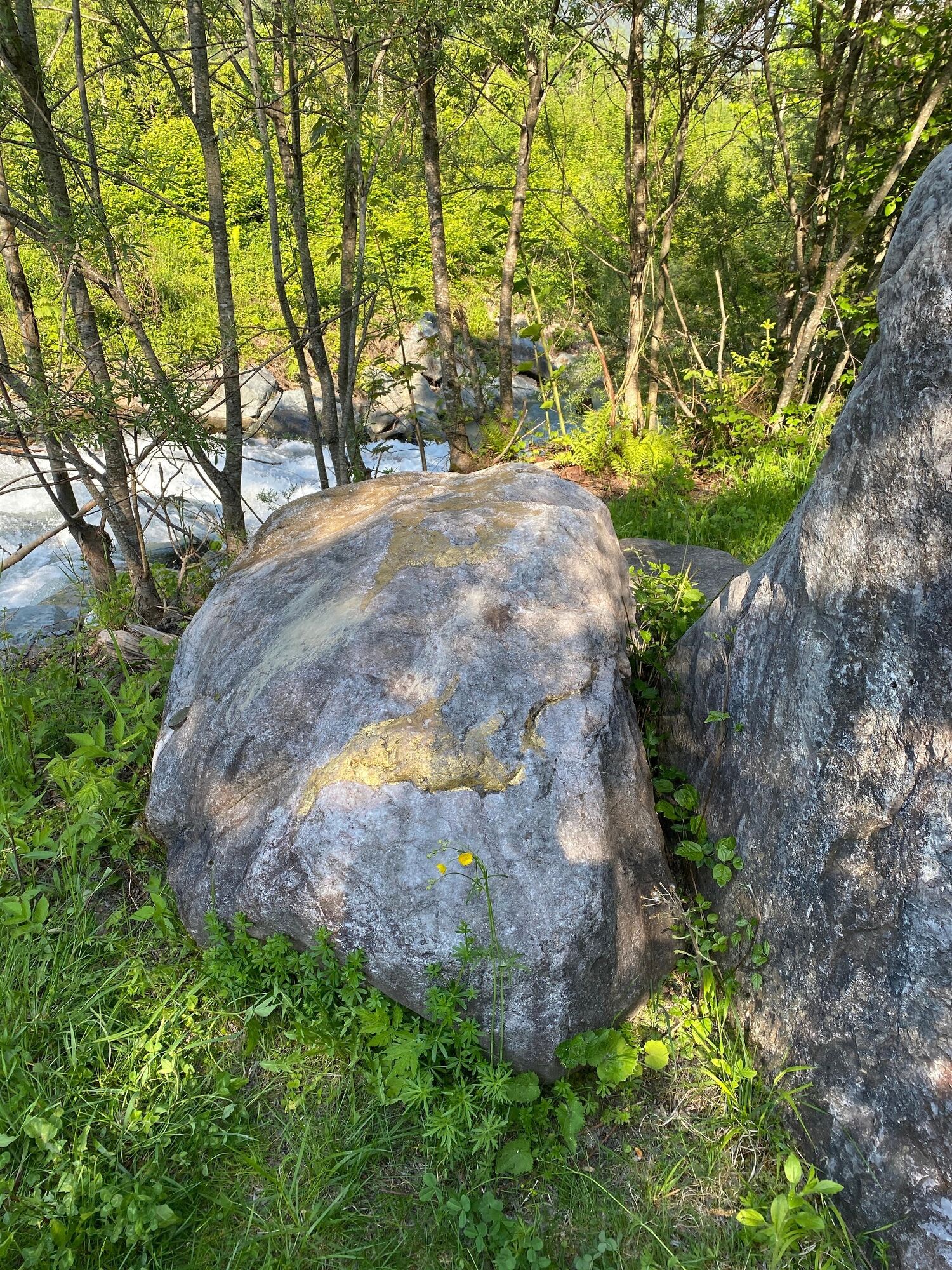
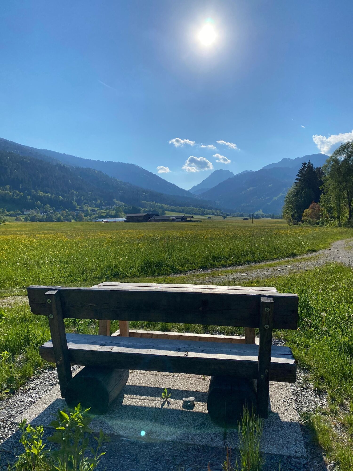
Along the Gössering, rest areas invite you to linger.
- Additional information
-
The Stoffelbauer trail corresponds to trail number 1 on the Gitschtal hiking map.Further information is available at the Gitschtal Tourist Office, 9622 Weißbriach 202, T +43 (0)4286 219
- Author
-
The tour Stoffelbauerweg - Weißbriach/Gitschtal is used by outdooractive.com provided.