
- Brief description
-
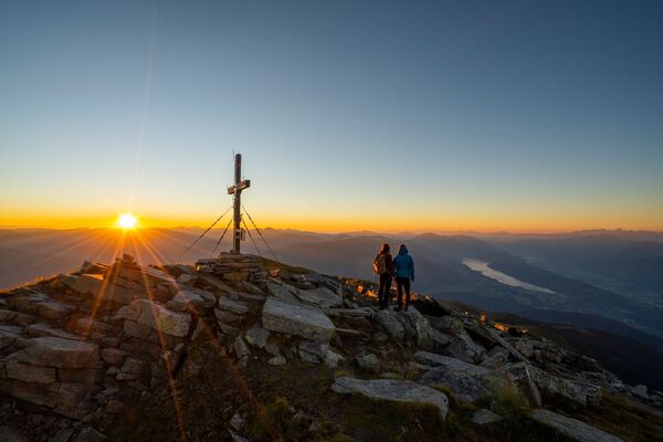
Eine schöne Tour von Hütte zu Hütte!
Die Fernsicht ist atemberaubend und verleitet zum Schauen und zum Bleiben. - Difficulty
-
difficult
- Rating
-
- Route
-
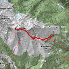
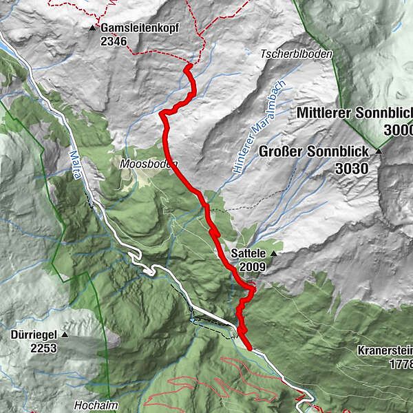
Obere Maralm2.5 kmKattowitzer Hütte5.2 kmObere Maralm7.8 kmHochalm waterfall10.4 km
- Best season
-
JanFebMarAprMayJunJulAugSepOctNovDec
- Highest point
- 2,304 m
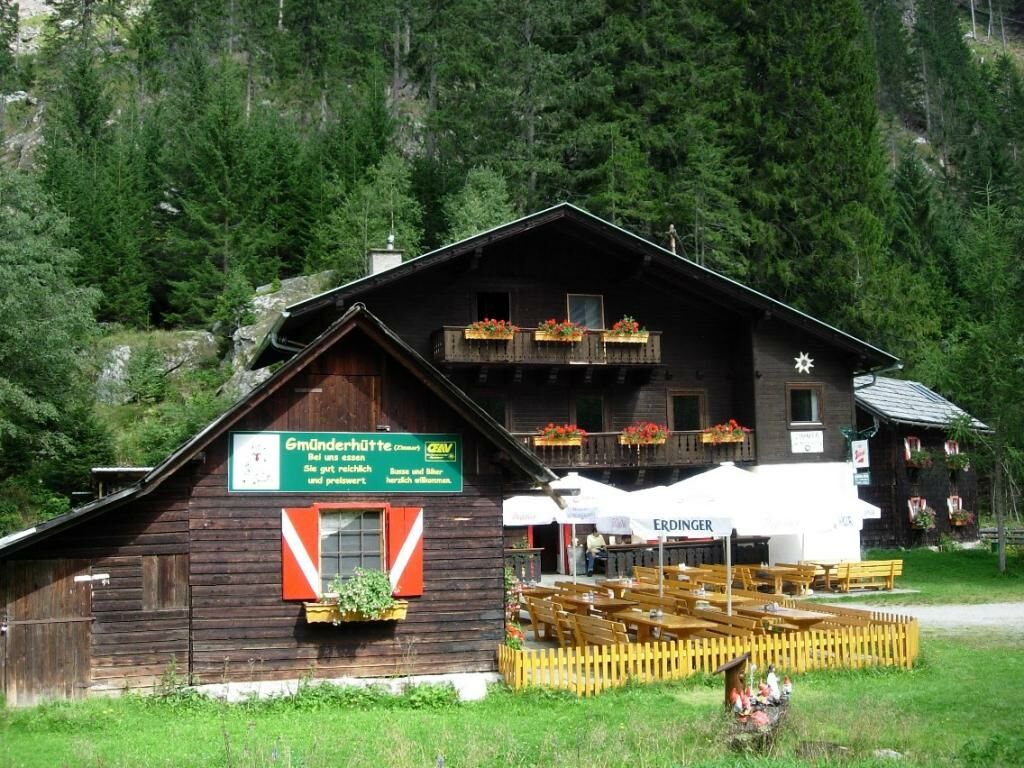
- Endpoint
-
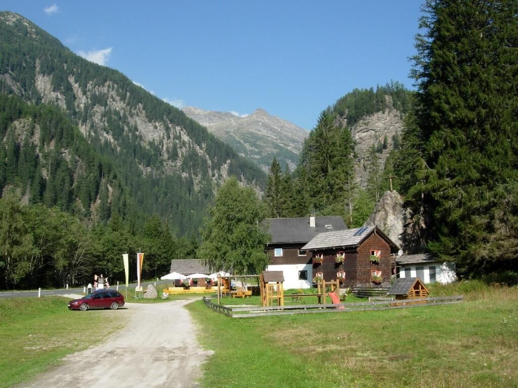
Gmünder Hütte
- Height profile
-


- Author
-
The tour Wanderung Maltatal: Gmünder Hütte - Kattowitzer Hütte is used by outdooractive.com provided.
GPS Downloads


General info
Refreshment stop
A lot of view
Other tours in the regions
-
Katschberg Lieser-Maltatal
2552
-
Großarltal
2148
-
Muhr / Rotgülden
176