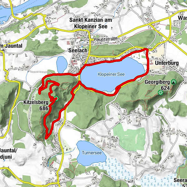
Rundwanderung über Klopeinersee

Logo Rundwanderung über Klopeinersee
Tour data
13.03km
444 - 683m
Distance
299hm
297hm
Ascent
03:03h
 
Duration
Brief description

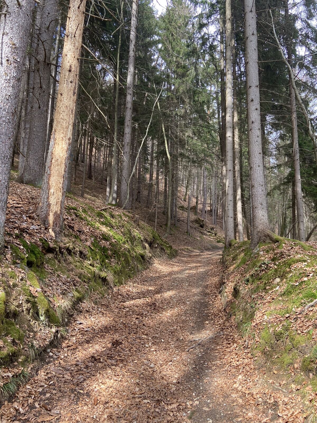
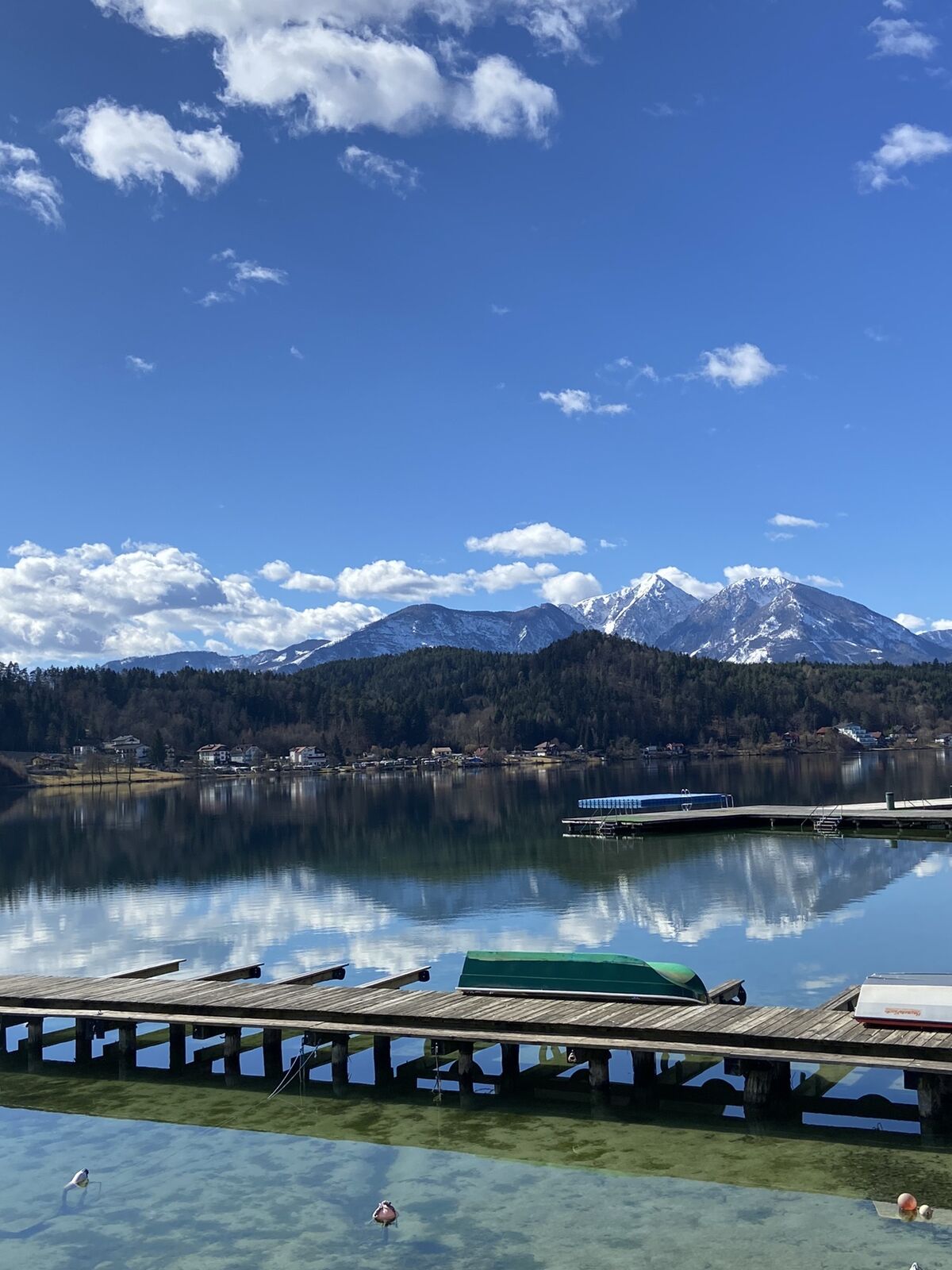
Schöne Wanderung über Klopeinersee

Difficulty
easy
Rating
Technique
Fitness
Landscape
Experience
Route
Klopein
2.0 km
Seelach
2.1 km
Aussichtspunkt Kitzelberg
6.0 km
Kitzelberg (686 m)
6.2 km
Unternarrach
8.1 km
Seegasthof Katschnig
10.7 km

Highest point
683 m

Overall rating

5

0

%

4

0

%

3

0

%

2

0

%

1

0

%

Error
An error has occurred. Please try again.
Thank you for your review

Rating has been deleted

GPS Downloads
  • GPX GPS Exchange Format (XML)
  • KML Google Earth, Google Maps
QR Download Codes for Mobile Phones
Other tours in the regions

Popular tours in the area

Wanderung Christofberg

easy Hiking
2.93km | 400hm | 01:00h

Rundweg Schaidasattel - Hochobir

medium Hiking
15.99km | 1116hm | 05:13h

Die Topitza

medium Hiking
8.82km | 581hm | 04:00h

Felsentore, St. Leonhard, Kupitzklamm

difficult Hiking
15km | 1080hm | 05:40h