Thermenlauf - Jogging and Trail Running Arena Warmbad-Villach


- Brief description
-
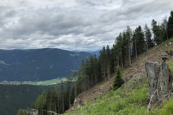
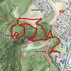
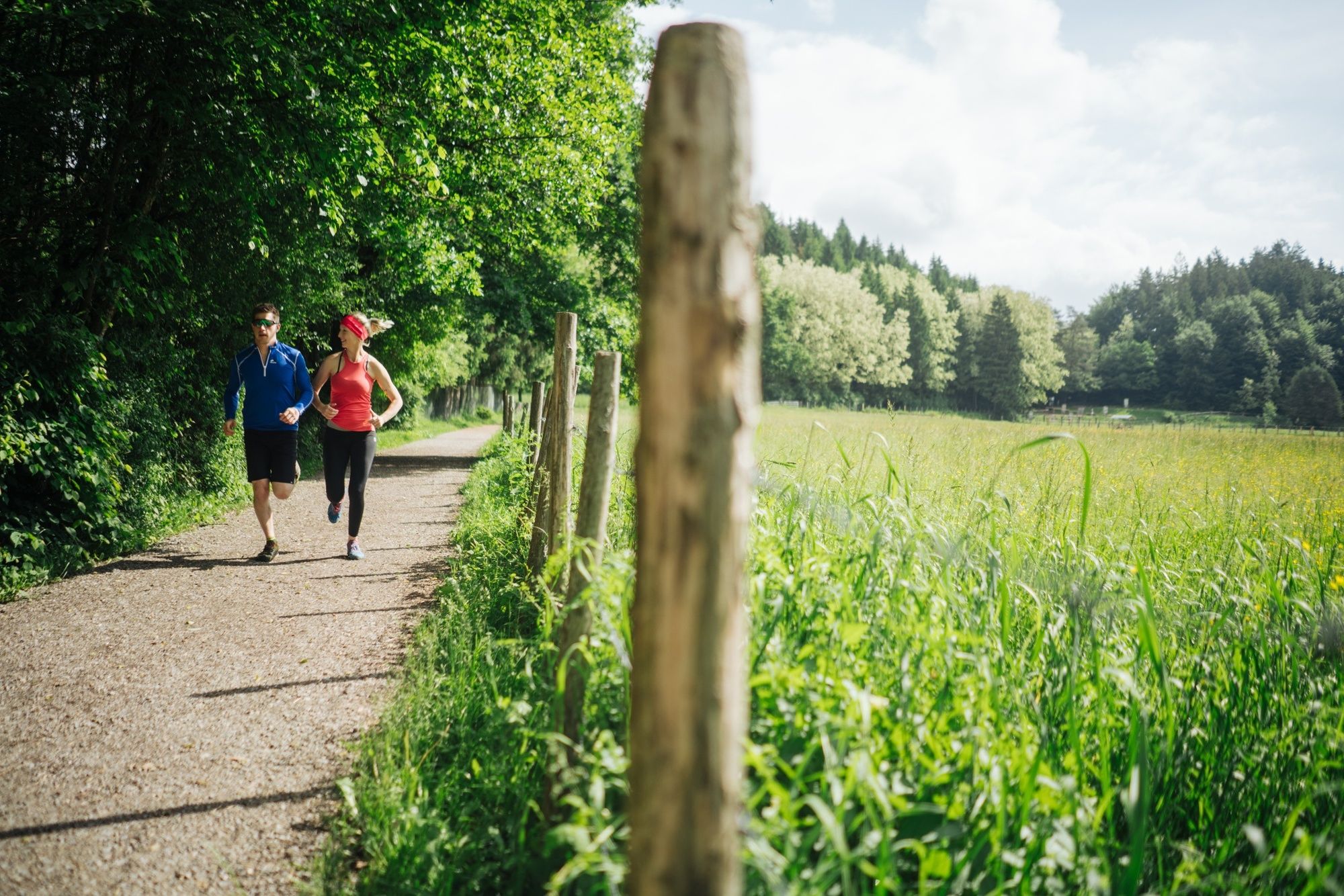
Varied and beautiful trail running route over the Römerstraße and the Doktorweg, past the well-known Warmbader parks.
- Difficulty
-
medium
- Rating
-
- Starting point
-
Warmbad Villach - Starting Point Spa Park
- Route
-
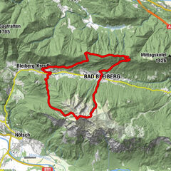
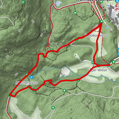
Warmbader Hauskapelle0.2 kmWarmbad-Judendorf0.2 kmVillach (501 m)0.6 kmMaibachl0.8 kmStudencafall2.6 kmStudenca-Quelle2.7 kmOberfederaun3.6 kmWarmbad-Judendorf6.7 kmWarmbader Hauskapelle7.2 km
- Best season
-
JanFebMarAprMayJunJulAugSepOctNovDec
- Description
-
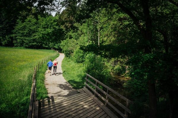
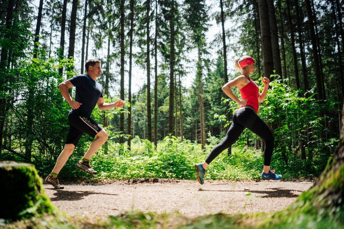
Running and nature experience - two basic needs that meet in the new running and trail running Arena Villach Warmbad. The route network of the newly developed running and trail running arena offers seven selected running and trail running routes with a total length of over 50km. Multifaceted nature spectacle meets versatile running experience!
- Directions
-
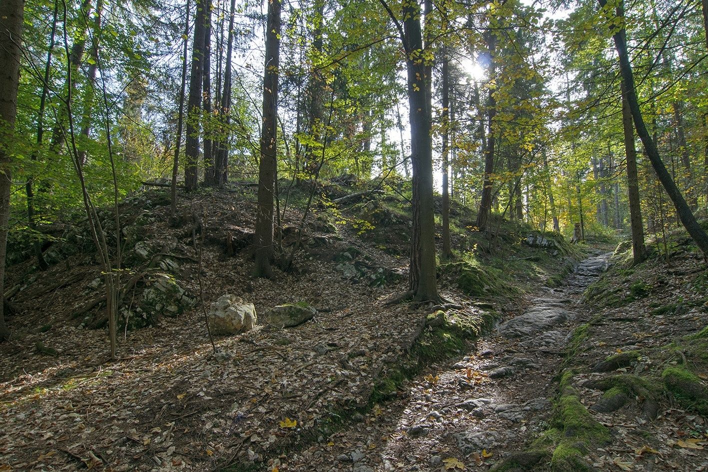
From the starting point Kurpark follow the signs for Maibacherl and Birkenhain. At the small Weier des Birkenhains, branch off to the right from the main path and follow the quieter, initially rising forest path directly to the beginning of the Roman road. From here follow the Roman road and past the Maierwiese to Oberfederaun. Via the doctor's route, first to the starting point stretching point and following the running signage back to the starting point Kurpark at the Kärnten Therme.
- Highest point
- 563 m
- Endpoint
-
Warmbad Villach - Starting Point Spa Park
- Height profile
-

- Equipment
-
Running shoes with good outsole, running clothes, drinks, changing clothes, mobile phone, first aid
- Safety instructions
-
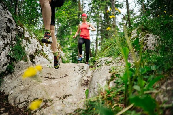
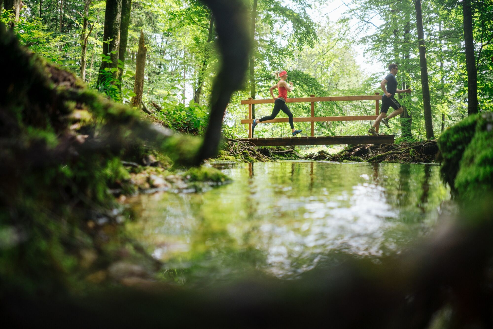
The route leads over mostly steep forest and forest roads, which require a safe, coordinated and controlled running technique. Two different runner icons have been developed to differentiate the trail running tracks from the normal running tracks and are visible on each additional signage. When wet, there is a risk of slipping especially in the section Roman road.
- Additional information
- Directions
-
The Warmbad spa resort can be reached via the Tauernautobahn (A10), the Südautobahn (A2) in the direction of Italy (exit Warmbad-Villach) and the Warmbader Allee.
- Public transportation
- Parking
-
At the Kärnten Therme there are plenty of paid parking spaces. In the vicinity there are also free parking.
- Author
-
The tour Thermenlauf - Jogging and Trail Running Arena Warmbad-Villach is used by outdooractive.com provided.