© KSL Tourismus Marketing GmbH - Schober Erich

© KSL Tourismus Marketing GmbH - Schober Erich

© KSL Tourismus Marketing GmbH - Schober Erich

© KSL Tourismus Marketing GmbH - Schober Erich

© KSL Tourismus Marketing GmbH - Schober Erich

© KSL Tourismus Marketing GmbH - Schober Erich

© KSL Tourismus Marketing GmbH - Schober Erich

- Brief description
-
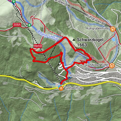
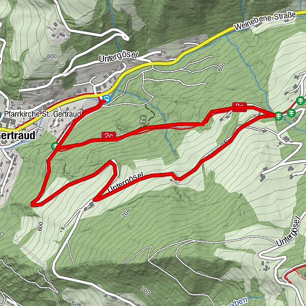
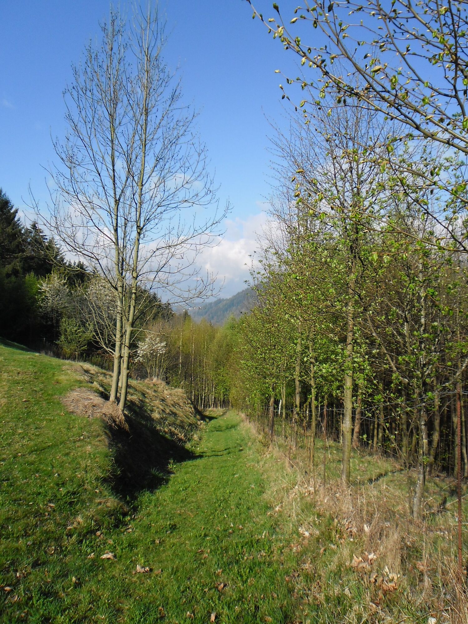
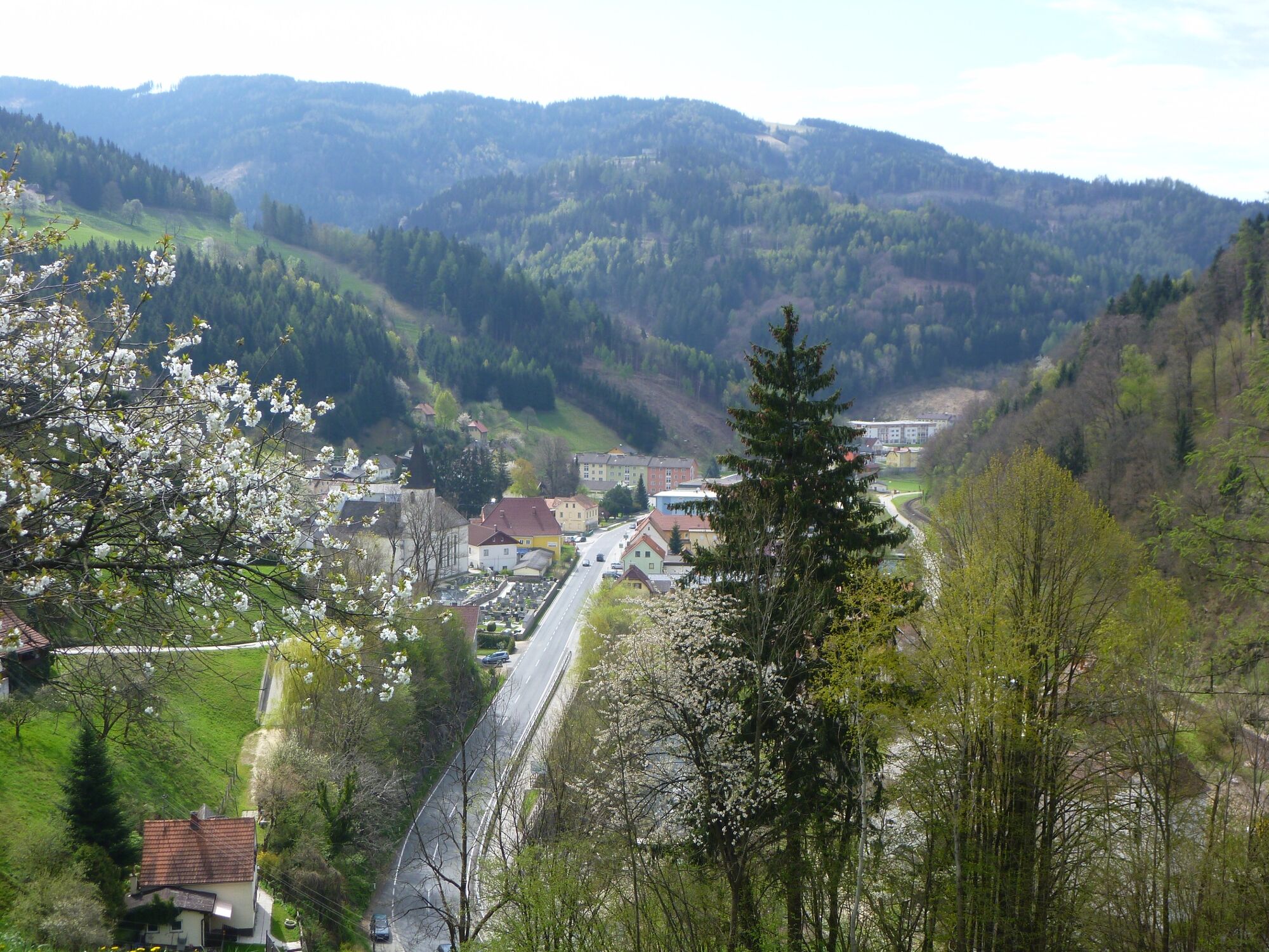
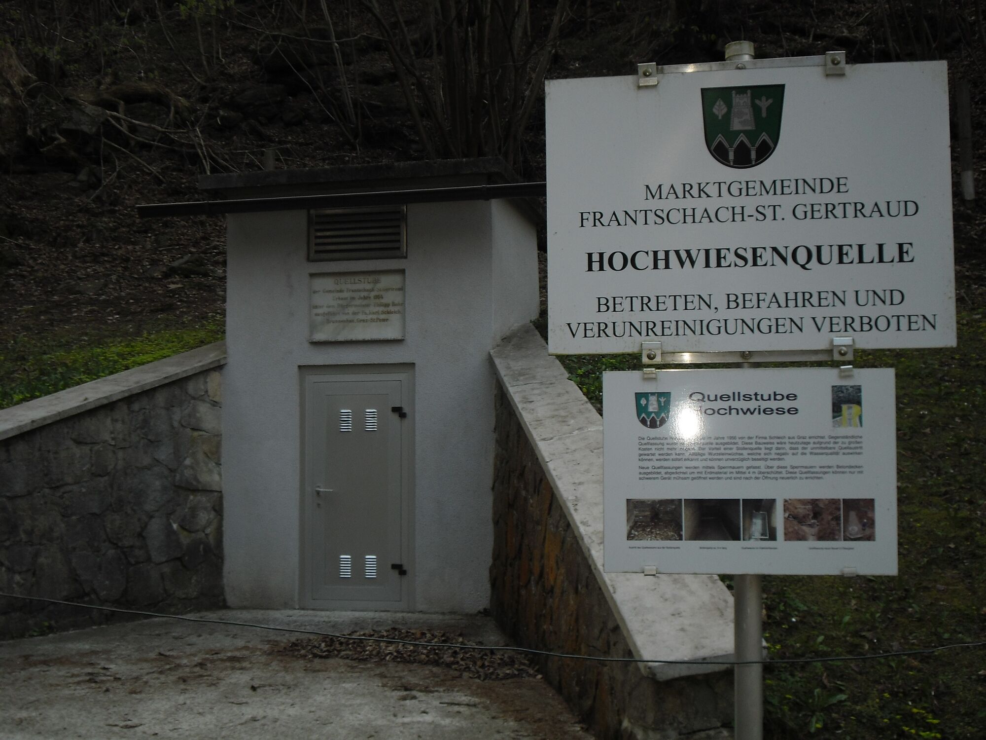
Entlang des Wasserlehrpfades der Marktgemeinde Frantschach-St. Gertraud erfahren Sie alles über die Wassergewinnung in der Gemeinde bzw. welchen Weg legen natürliche Wasservorkommen zurück, bis sie bei uns in den Haushalten sind.
- Difficulty
-
easy
- Rating
-
- Route
-
St. Gertraud3.0 km
- Best season
-
JanFebMarAprMayJunJulAugSepOctNovDec
- Highest point
- 710 m
- Endpoint
-
Busumkehre an der Weinebene Landestraße
- Height profile
-


-
-
AuthorThe tour Frantschach-St. Gertraud: Wasserlehrpfad is used by outdooractive.com provided.
GPS Downloads


General info
Refreshment stop
Flora
Other tours in the regions