


- Brief description
-
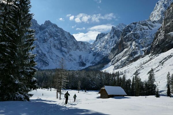
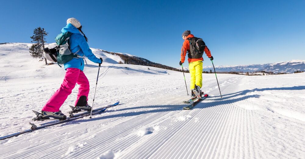
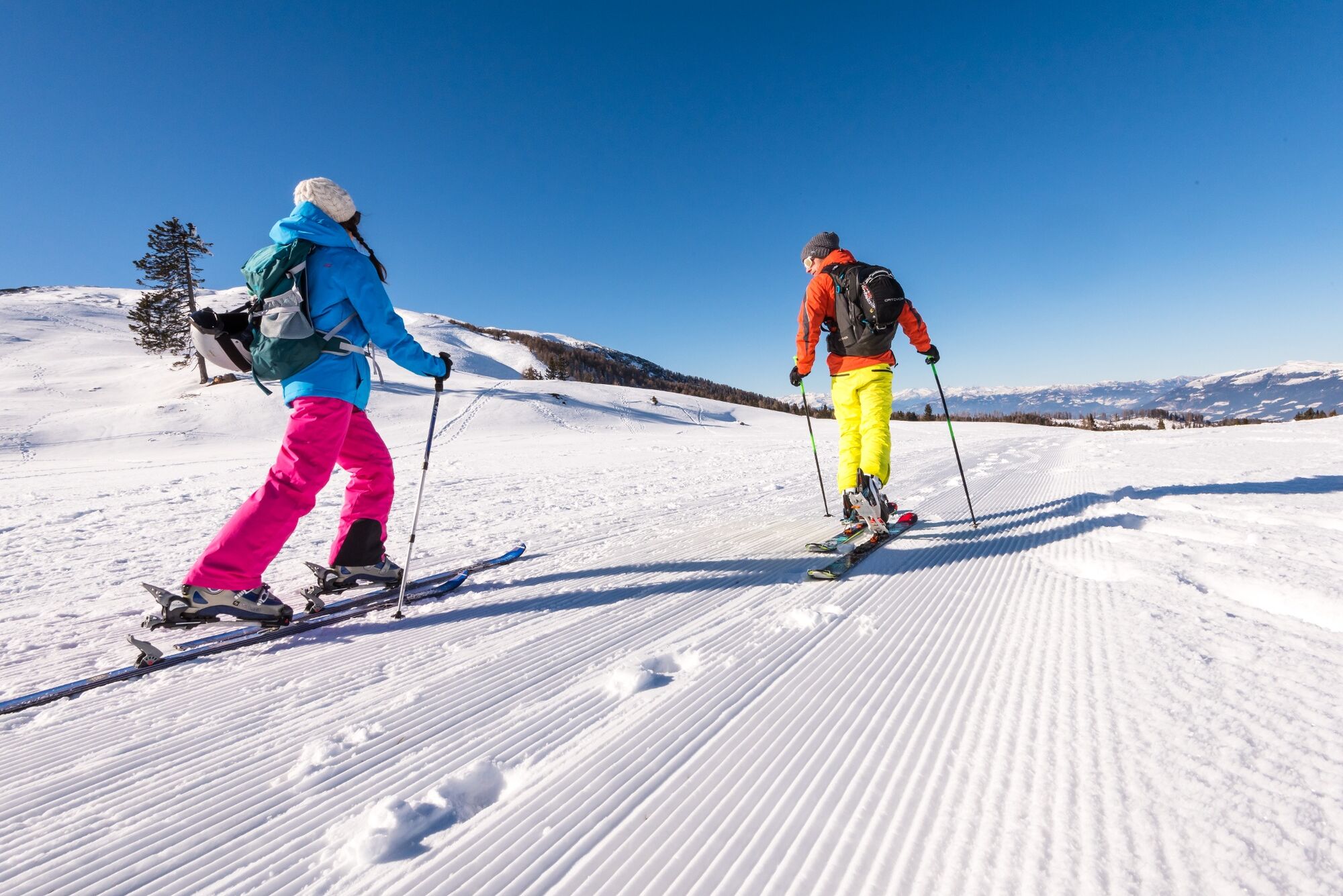
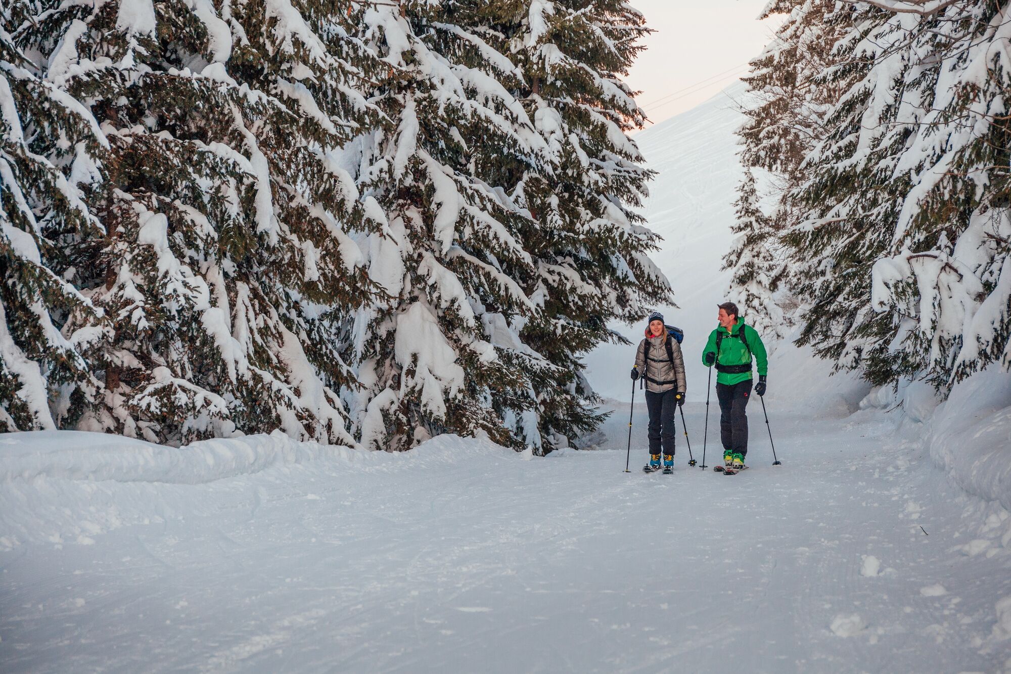
Easy skitour up the the Seltschacher Alm.
- Difficulty
-
easy
- Rating
-
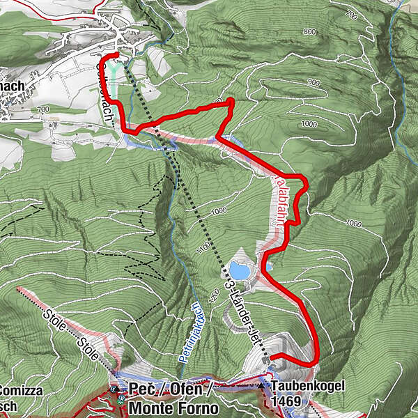
- Starting point
-
Seltschach
- Route
-
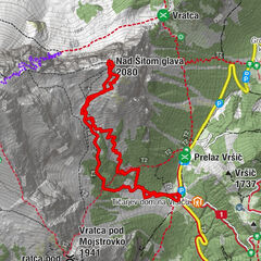
Schi PepiBergrestaurant Dreiländereck3.9 km
- Best season
-
AugSepOctNovDecJanFebMarAprMayJunJul
- Description
-
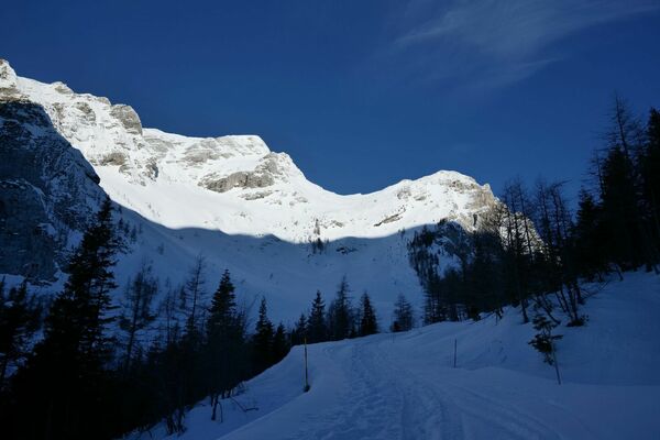
This tour leads partly along the ski slopes and forest roads up to the Seltschacher Alm.
- Directions
-
The tour starts in Seltschach at the parking lot of the Dreiländereck mountain cabe railway and leads via the mountain restaurant "Drei-Länder-Treff" along the trail No. 691 to the Seltschacher Alm. Forest paths and the edge of the slope are used for the ascent and descent.
- Highest point
- 1,442 m
- Endpoint
-
Seltschacher Alm
- Exposition
- Height profile
-

- Equipment
-
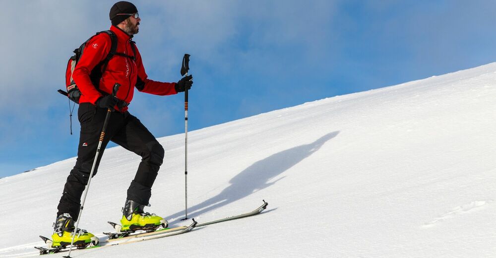
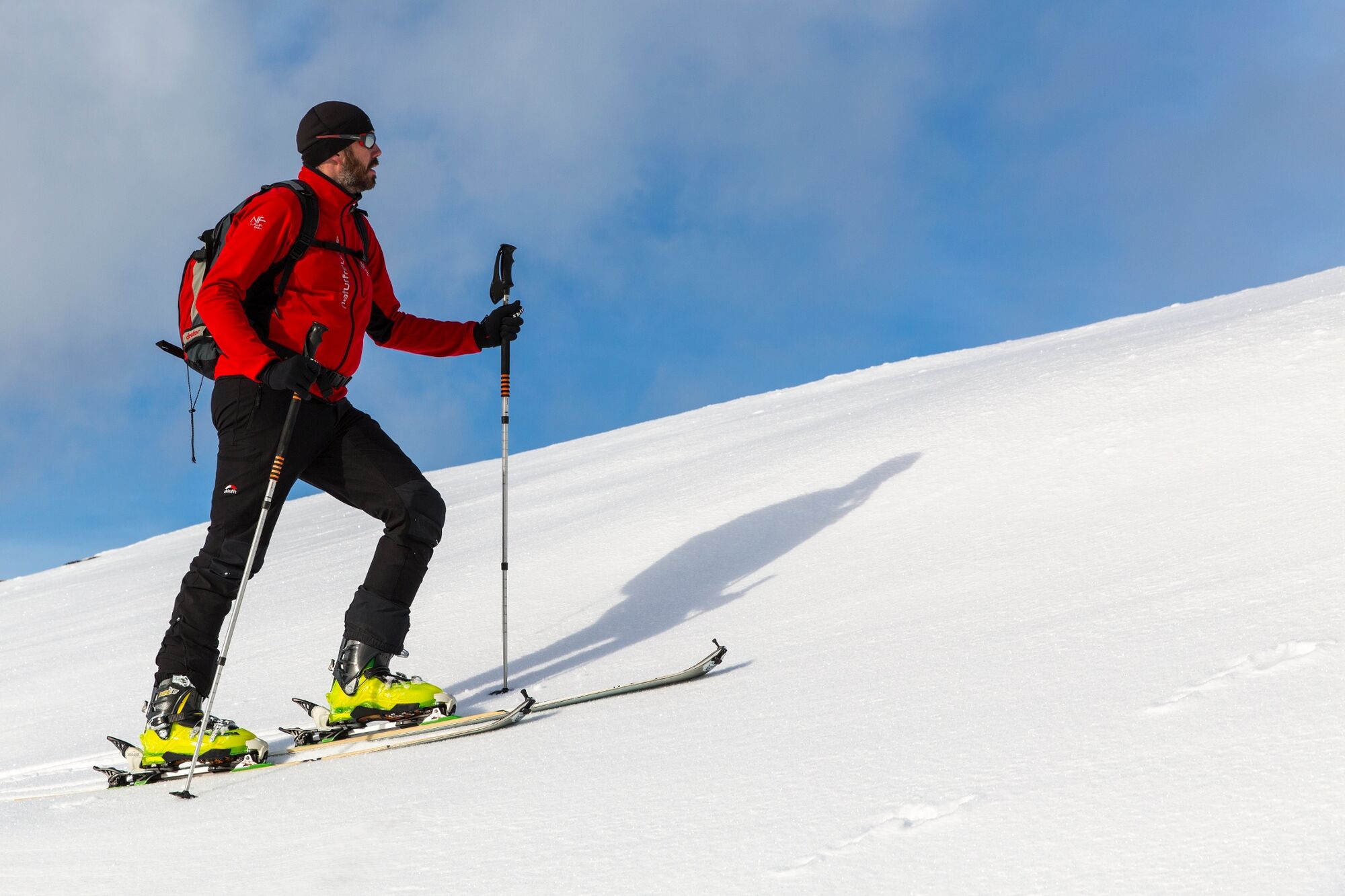
Tour equipment (Avalanche detection device, probe, shovel, crampon), clothes, warm drink, first aid and a mobile phone.
- Safety instructions
-
Be careful when crossing the slopes - skiers first.
- Tips
-
Skitour nights at Dreiländereck
From the beginning of the skiing season there is a FREE TOUR NIGHT every Monday and Thursday at the Dreiländereck. The ascent is free and the the Bergrestaurant is open until 10 pm. Please use your headlamp while going up in the dark.
Subject to change - for more information click here.
- Additional information
- Directions
-
Take the A2 or B83 or B111 to Arnoldstein. On the western edge of the village, take the road towards the valley station of the Dreiländereck (Seltschach).
- Public transportation
- Parking
-
If you would like to do skitours at the Dreiländereck you must purchase touring tickets at the ticket office!


- Author
-
The tour Seltschacher Alm is used by outdooractive.com provided.