


- Brief description
-
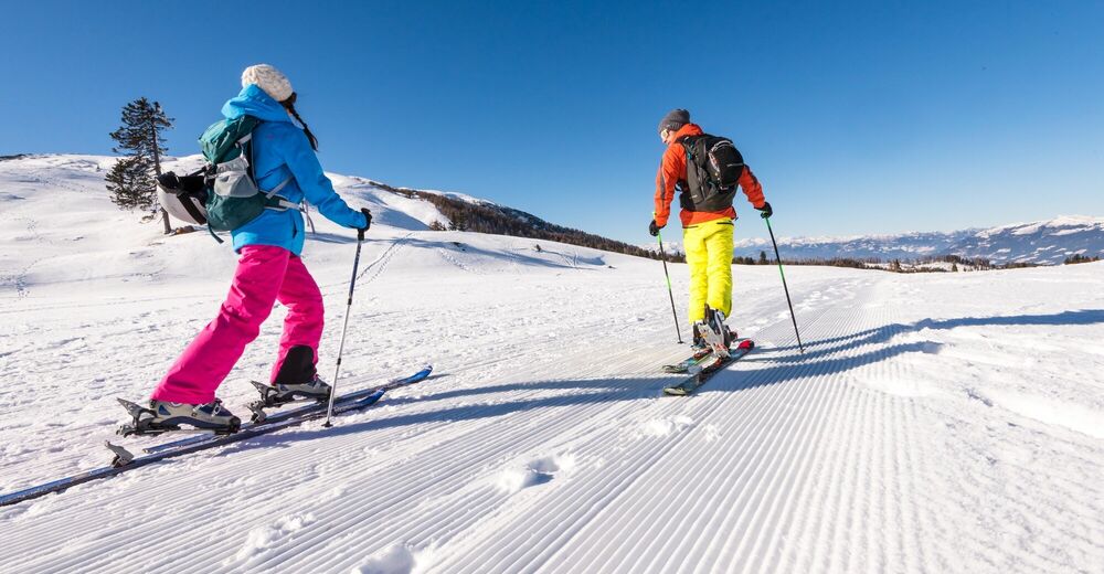
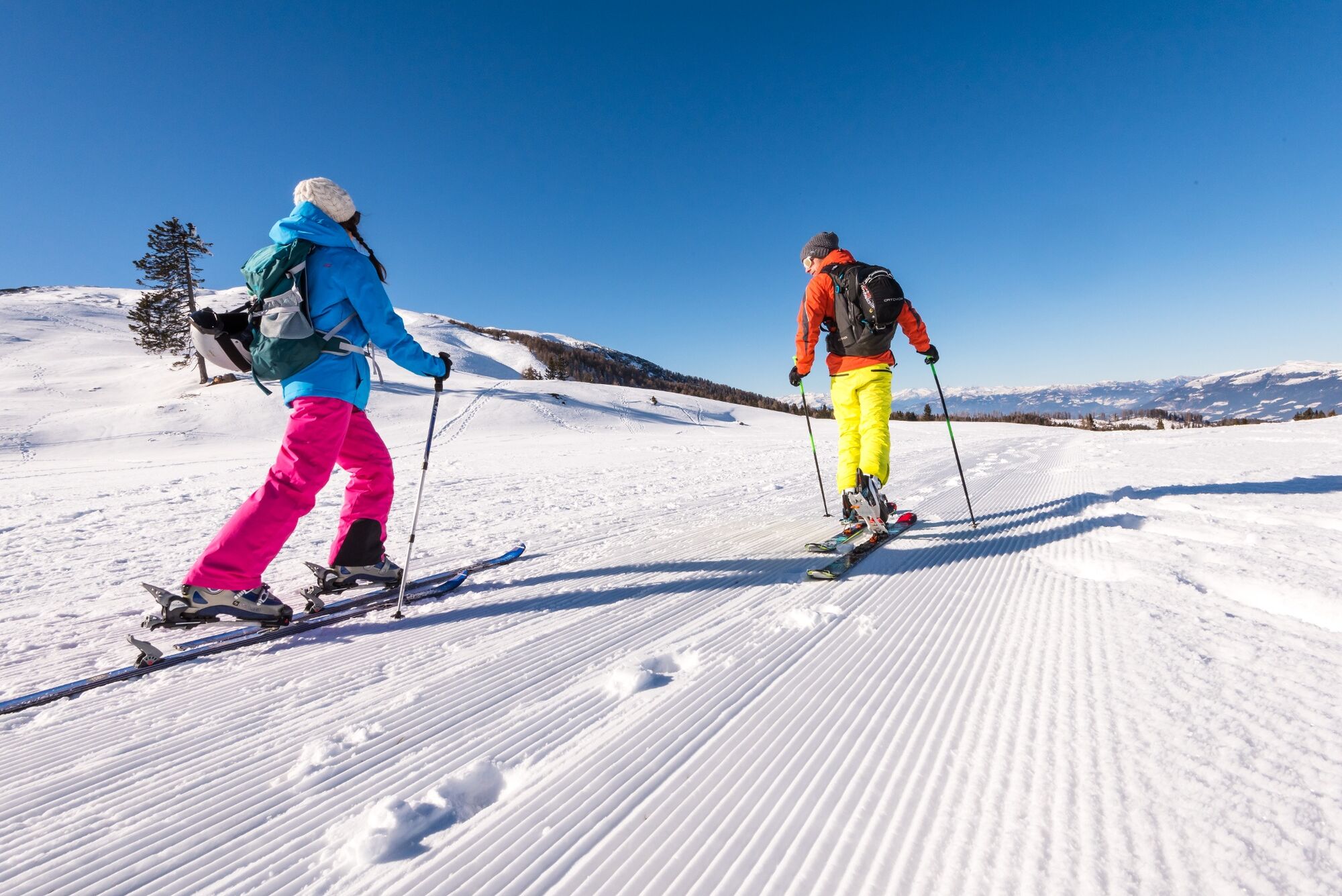
Intermediate skitour to the Ferlacher Spitze.
- Difficulty
-
medium
- Rating
-
- Starting point
-
Road up to the Bertahütte - depending on snow situation.
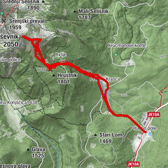
- Route
-
Bertahütte1.9 km
- Best season
-
AugSepOctNovDecJanFebMarAprMayJunJul
- Directions
-
Sometimes, depending on snow situation, the forest road to Bertahütte is still accessible, even in winter months. Therefore, the described tour starts a bit below the the parking area on that road. Follow the forest road until you reach the barrier. From there you can either keep on the forest road or take the steeper forest path (path no. 680), to get near the Bertahütte (hut - sometimes open in winter). Just after the Bertahütte, take path no. 679 to the Ferlacher Spitze. For th descent take the same route back to the Bertahütte and the follow the forest road.
- Highest point
- 1,714 m
- Endpoint
-
Ferlacher Spitz
- Exposition
- Height profile
-

- Equipment
-
Skitour equipment (avalanche probe, avalanche shovel etc.), clothes to change, hot drink, first aid & mobile phone.
- Safety instructions
-
Keep in mind that avalanches can occur anytime - be careful.
- Additional information
- Directions
-
Coming from Villach or from the Rosental Valley, take the B85 (Rosentalstraße) to Unteraichwald and turn southwards at the Hotel Mittagskogel into the Kopeiner Straße. At the junction Kopein, leave the paved road and turn right towards the Bertahütte.
- Parking
-
You can park along the forest road - depending on the snow situation.


- Author
-
The tour Ferlacher Spitze is used by outdooractive.com provided.