


- Brief description
-
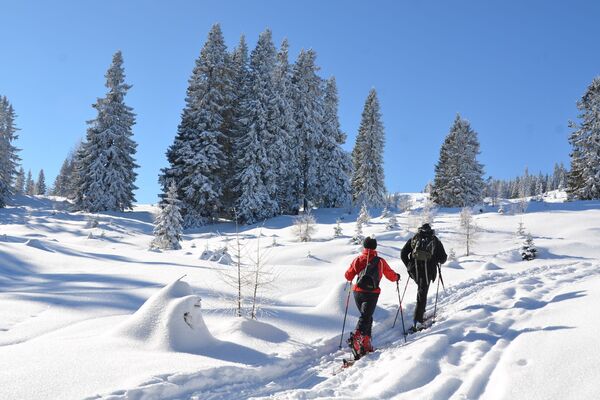
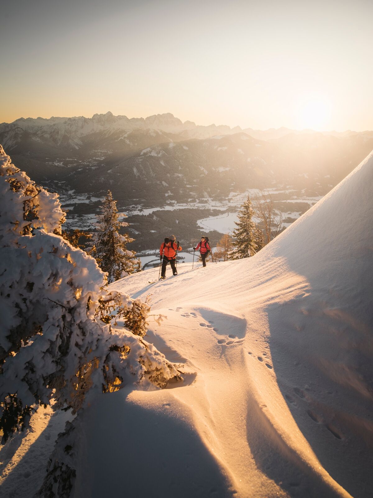
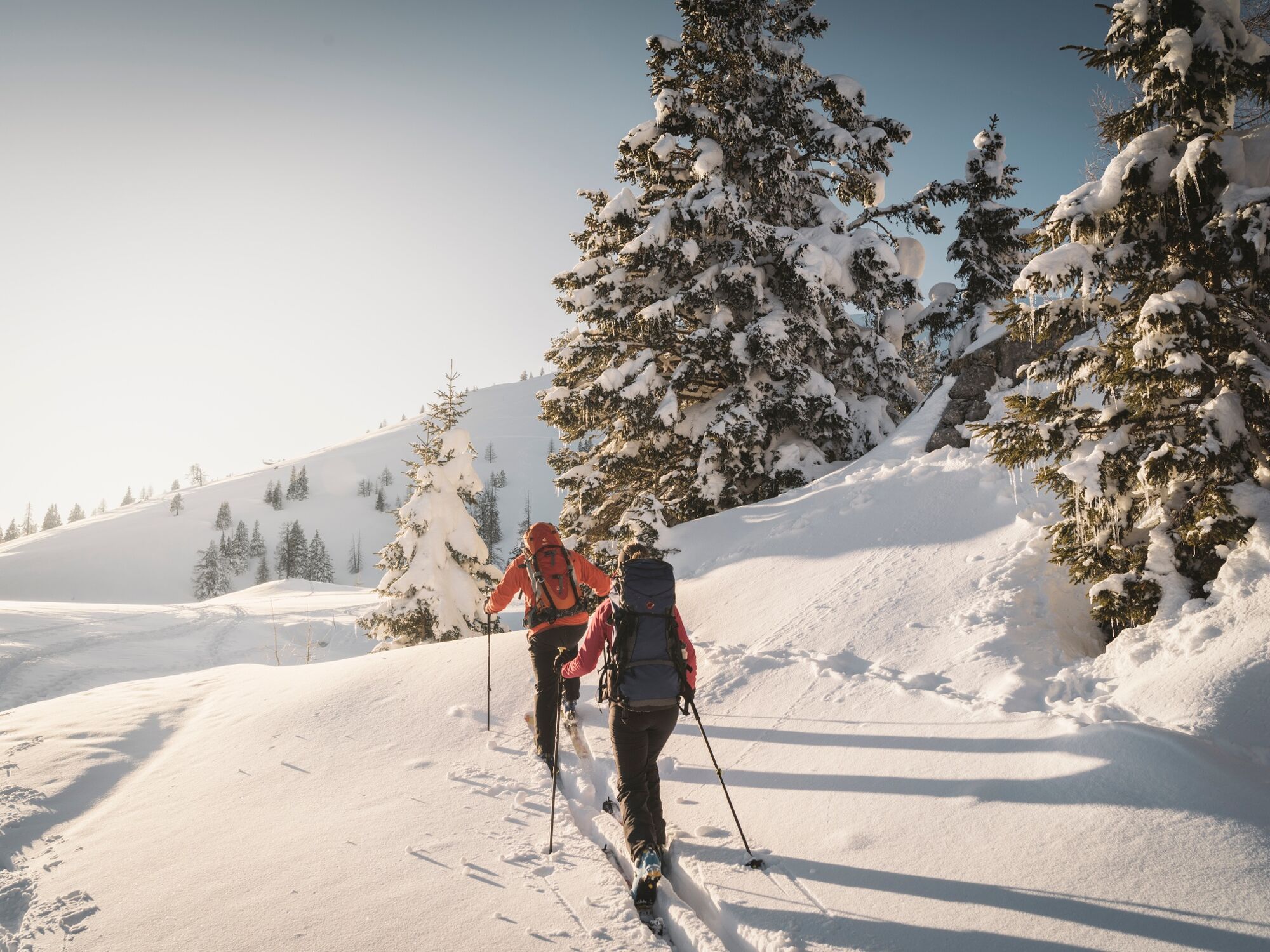
Easy skitour to the summit of the Dobratsch.
- Difficulty
-
easy
- Rating
-
- Route
-
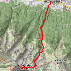
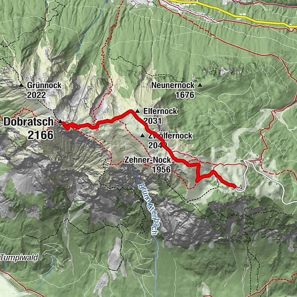
Rosstrattenstüberl0.0 kmRosstratte0.0 kmZehnernock (1,956 m)1.5 kmZwölfernock (2,049 m)2.3 kmElfernock (2,031 m)2.7 kmDobratsch Gipfelhaus4.2 kmHl. Maria am Stein4.2 kmDobratsch (2,166 m)4.4 km
- Best season
-
AugSepOctNovDecJanFebMarAprMayJunJul
- Description
-
Enjoy a nice tour to the summit and enjoy panoramic views.
- Directions
-
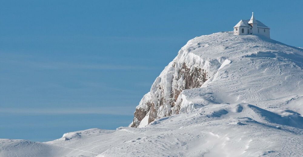
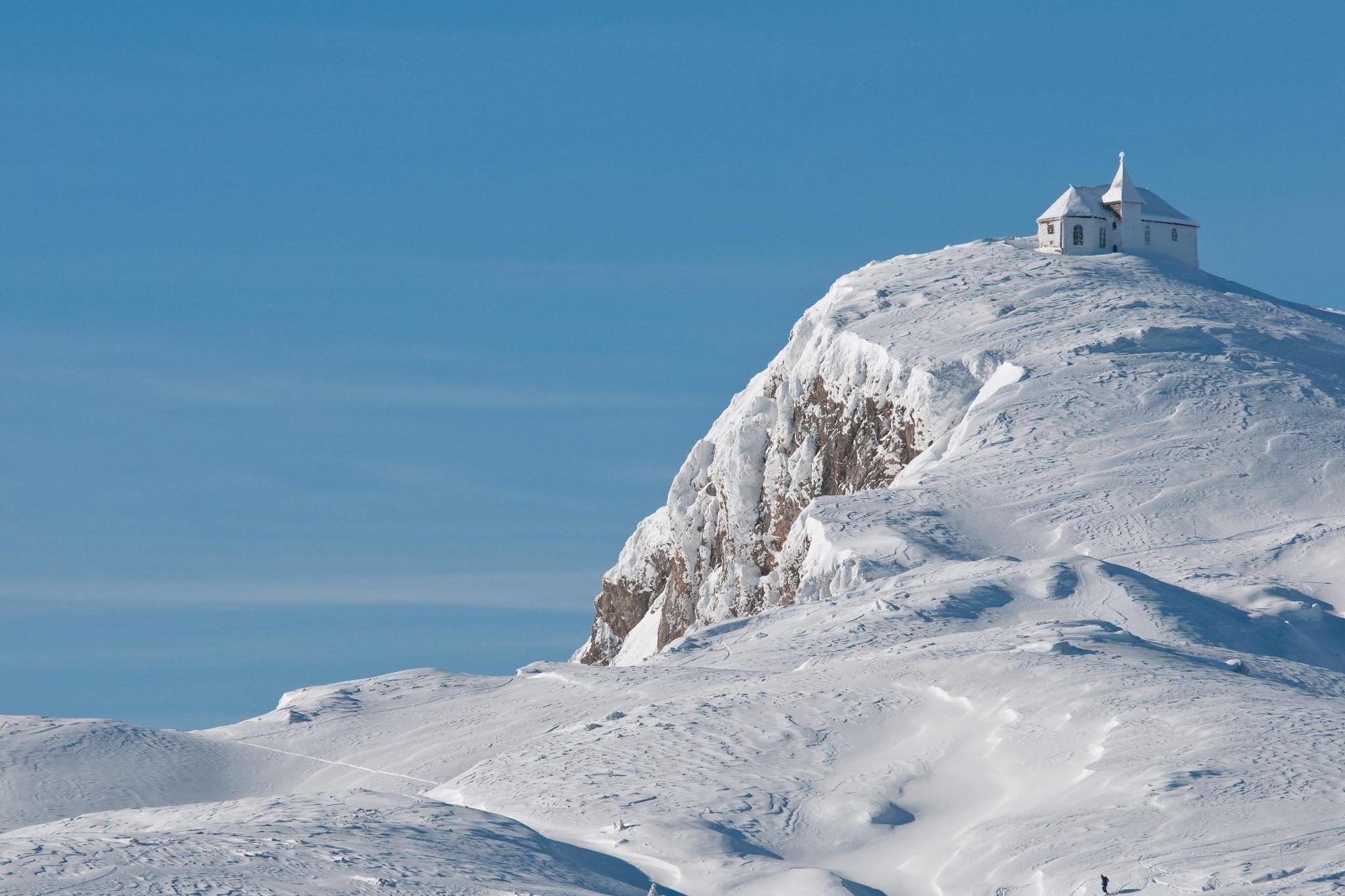
From the parking lot Rosstratte follow the wide road to the west. Behind the restaurant Rosstratten is the start of this tour. Follow the way up to the eastern and northern slopes of the Zehnernock. Follow path no. 291 to the summit. In the second half, the terrain becomes increasingly flatter. You can either end your tour at the summit house and enjoy Carinthian specialities straight away. Or you go on and climb up to the church / the weather station from where the summit cross can be seen. The last meters to the summit lead over a narrow ridge - be careful! To go back, follow the same route downhill.
- Highest point
- 2,161 m
- Endpoint
-
Dobratsch
- Exposition
- Height profile
-

- Equipment
-
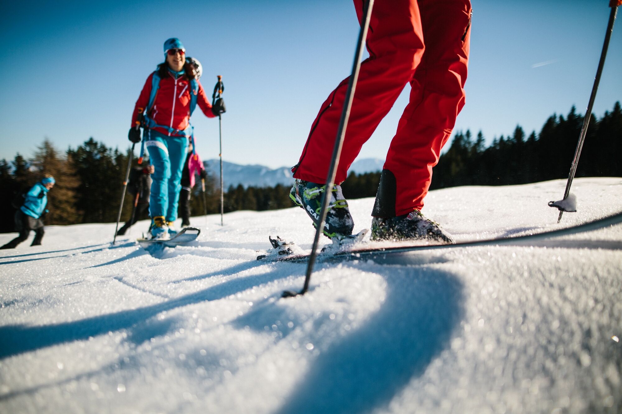
Skitour equipment (avalanche probe and shovel etc.), ski crampons, changing clothes, hot drinks, firs aid kit and smartphone.
- Safety instructions
-
Be careful - the last metres to the summit can be dangerous due to snow drifts.
- Additional information
- Directions
-
Take the toll-free Villach Alpine Road (Villacher Alpenstraße).
- Public transportation
- Parking
-
There is a huge parking area at the Rosstratten. However, on sunny days many people like to visit the park. We recommend to use the nature park shuttle bus.

- Author
-
The tour Dobratsch - Rosstratte to Summit is used by outdooractive.com provided.