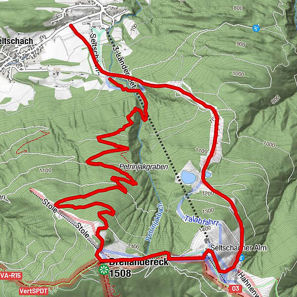
Tour data
10.26km
690
- 1,505m
804hm
869hm
02:15h
- Brief description
-
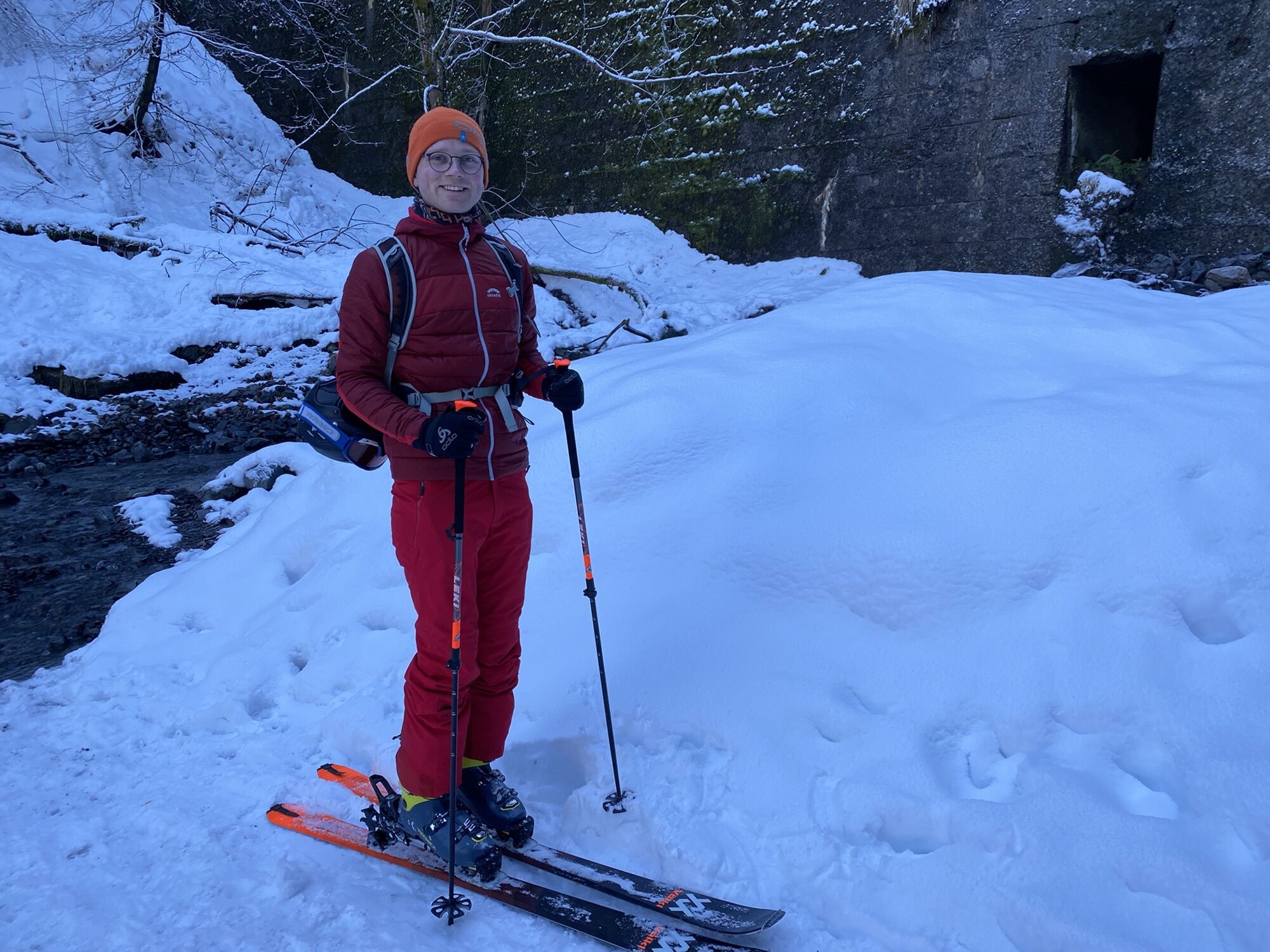
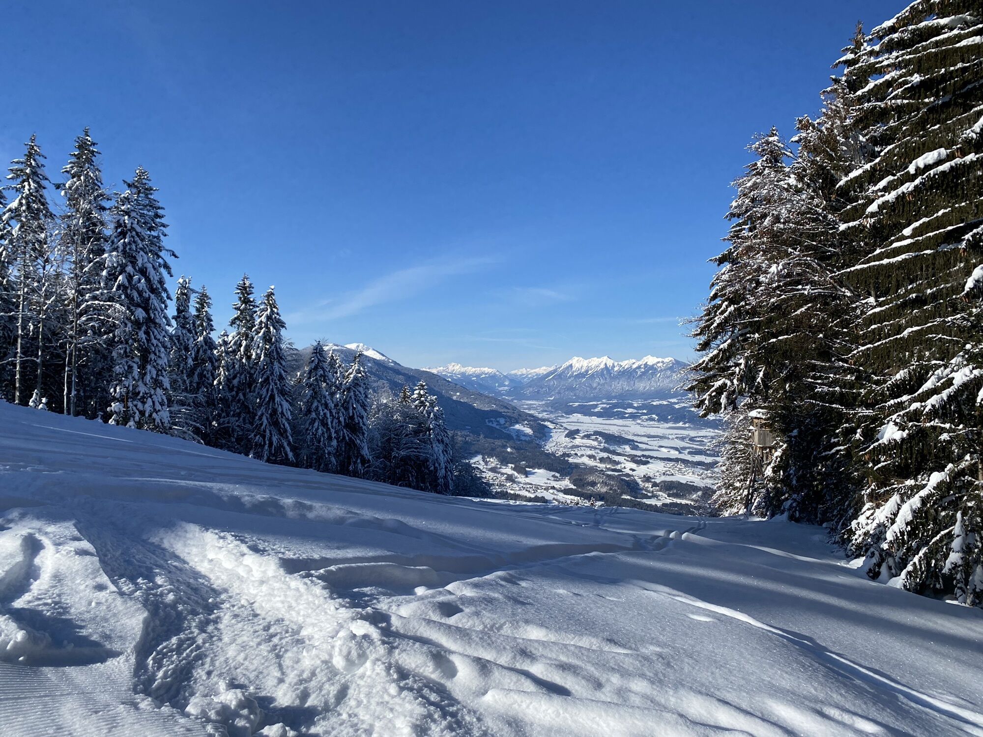
Einfache Skitour abseits der Piste durch den Wald entlang des Wanderweges, Abfahrt über die Talabfahrt
- Difficulty
-
easy
- Rating
-
- Route
-
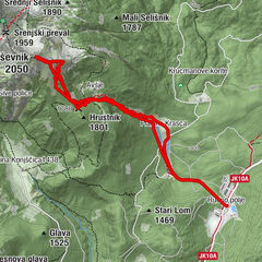
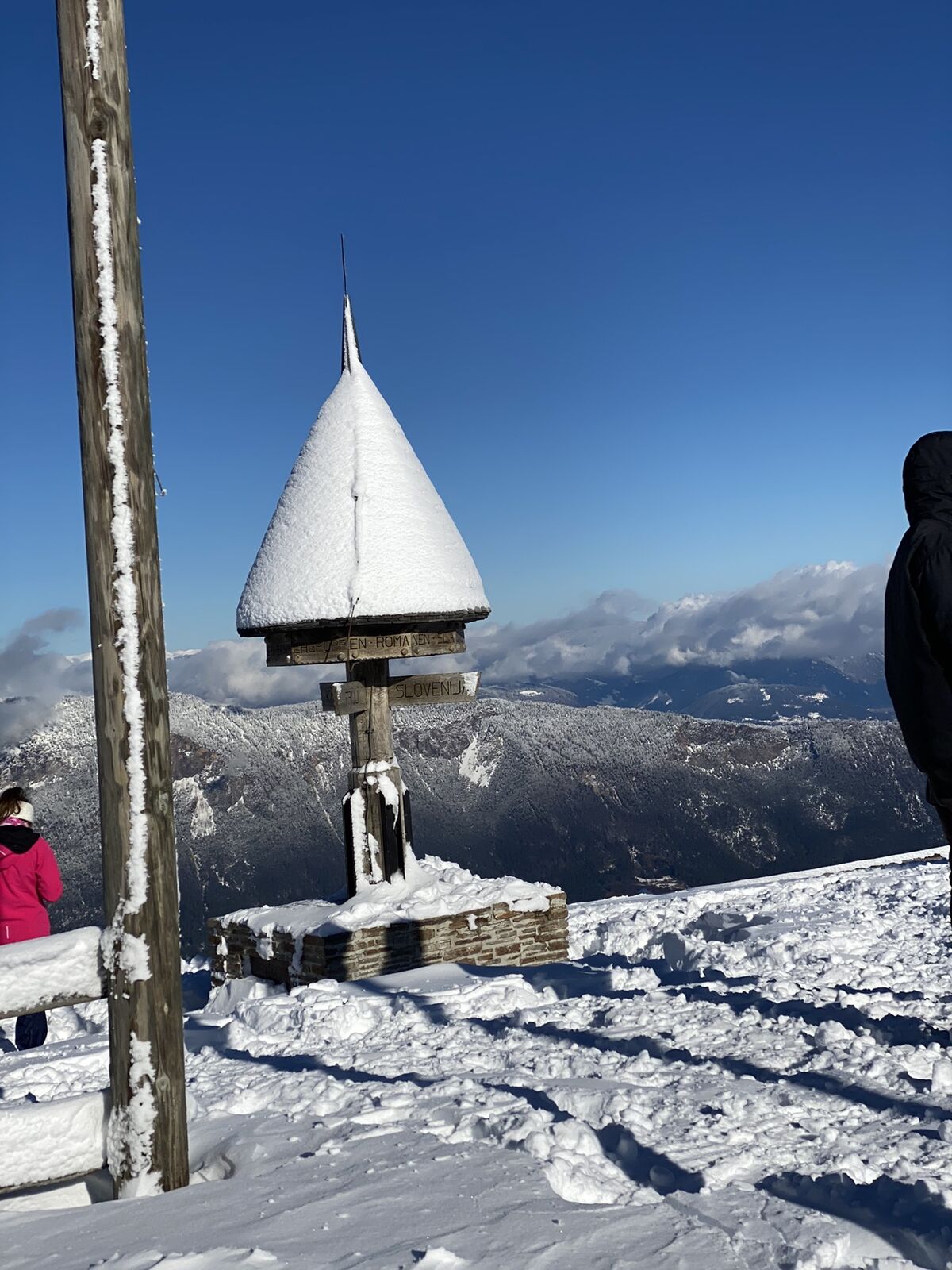
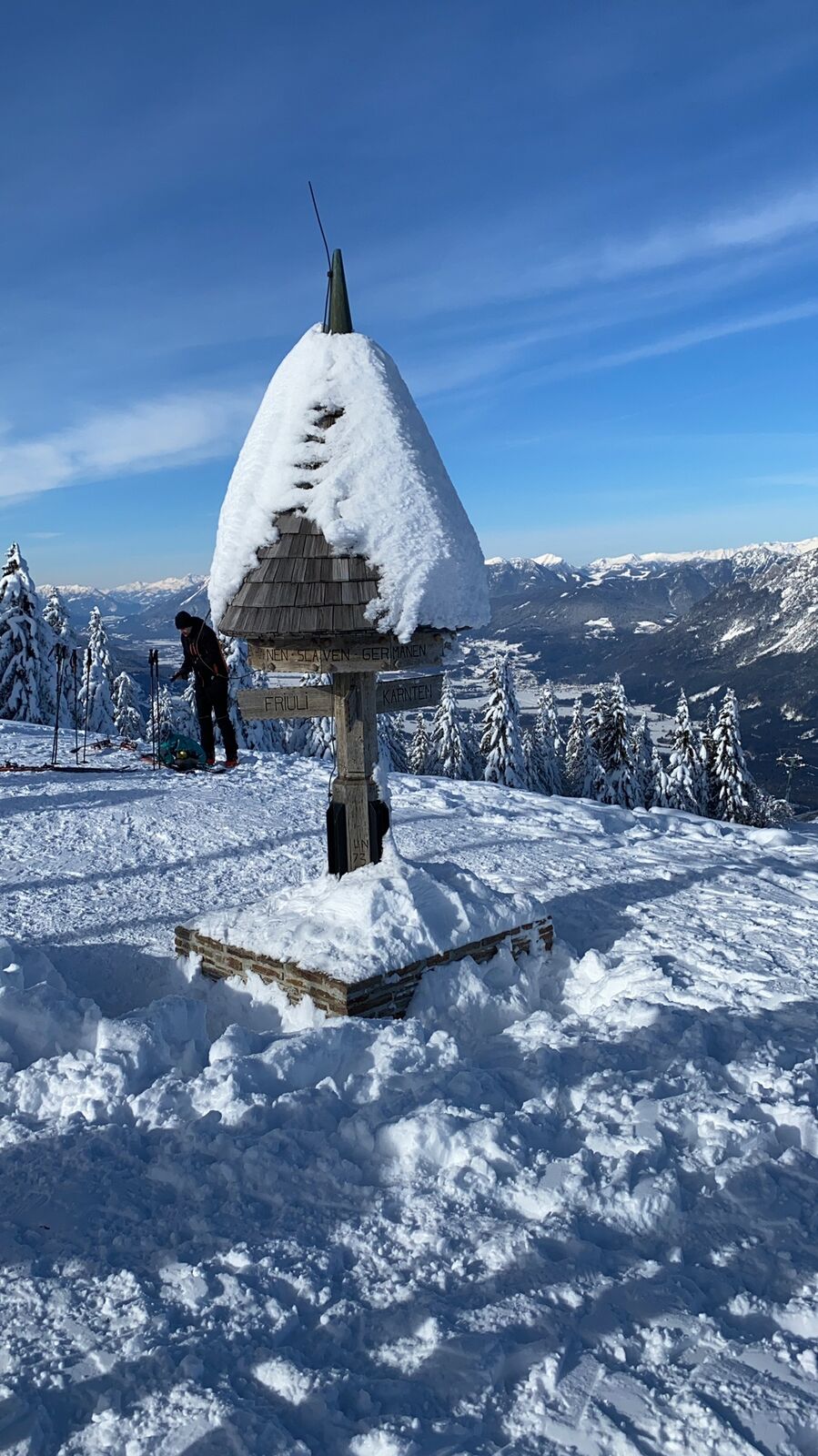
Dreiländereck (1,508 m)5.5 kmDreiländereck Hütte6.3 kmTaubenkogel (1,469 m)6.5 kmSeltschacher Alm7.0 kmOristagno (578 m)10.1 km
- Highest point
- 1,505 m
GPS Downloads


Other tours in the regions