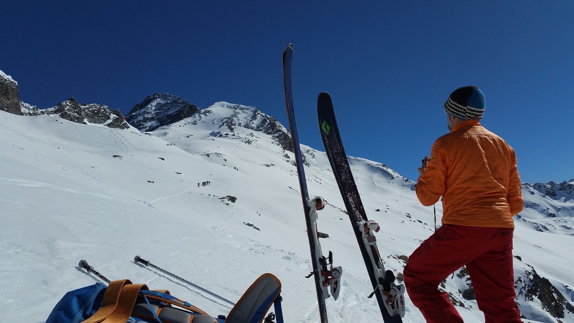
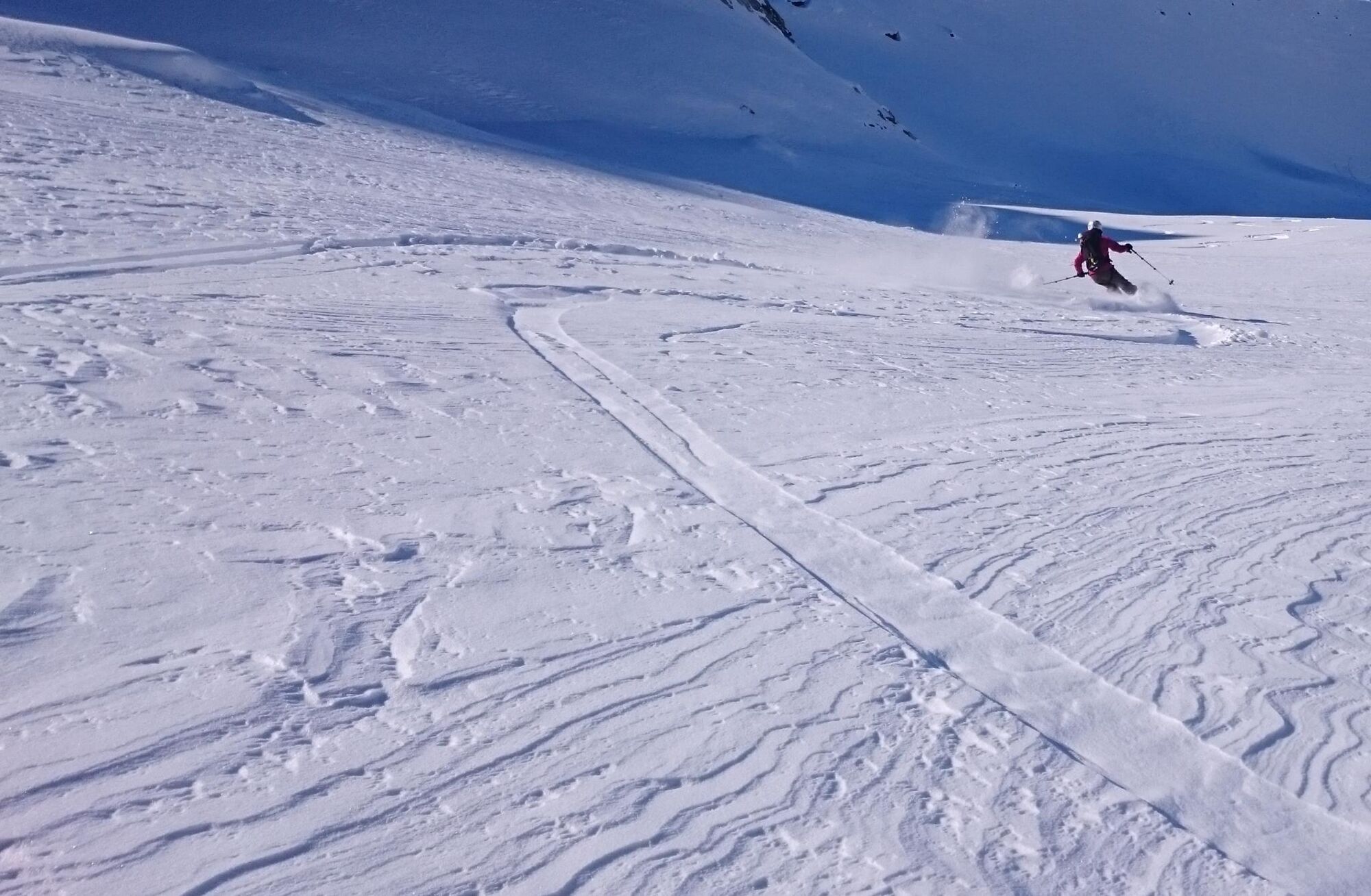
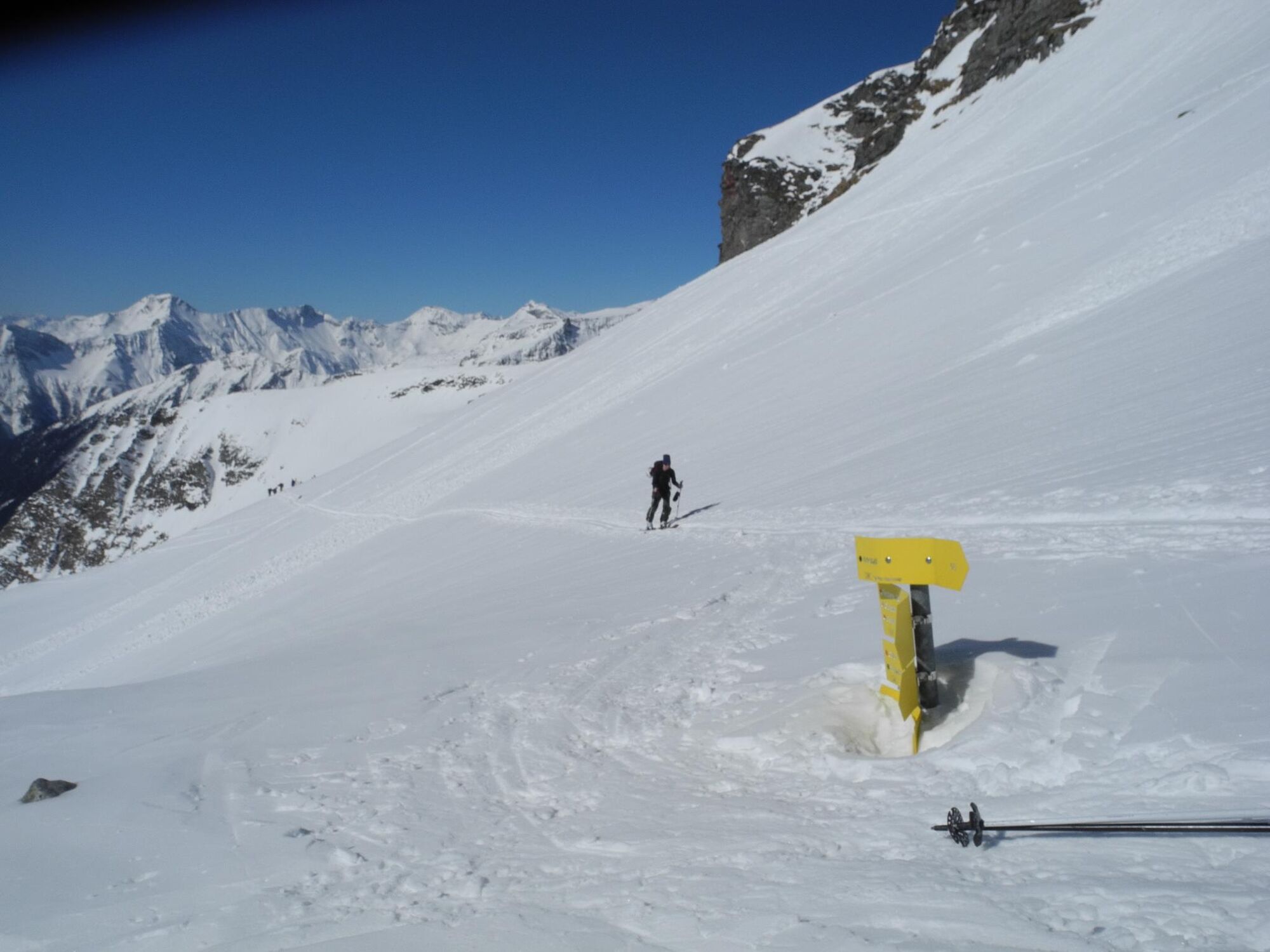
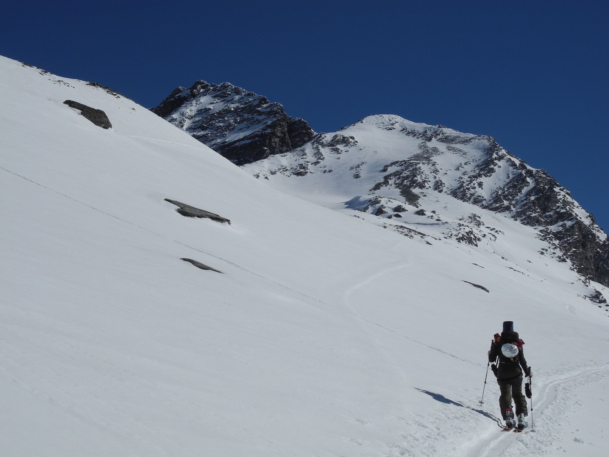
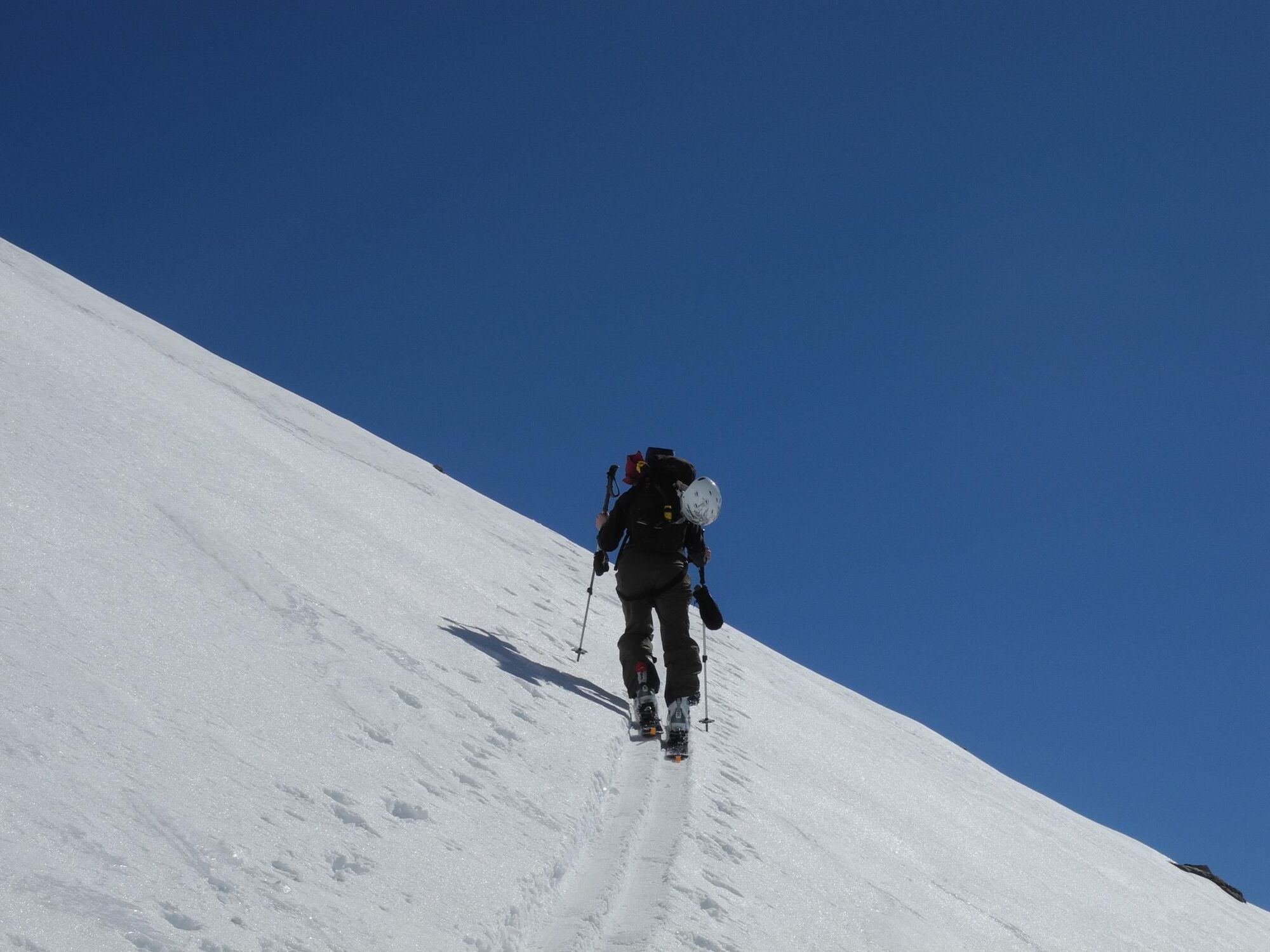
Radeckscharte (2.874 m) vom Skigebiet Ankogel mit Abfahrt ins Anlauftal

Ski tour

© Hohe Tauern - die Nationalpark-Region in Kärnten Tourismus GmbH - Nationalpark Region Hohe Tauern Kärnten

© Hohe Tauern - die Nationalpark-Region in Kärnten Tourismus GmbH - Nationalpark Region Hohe Tauern Kärnten

© Hohe Tauern - die Nationalpark-Region in Kärnten Tourismus GmbH - Nationalpark Region Hohe Tauern Kärnten

© Hohe Tauern - die Nationalpark-Region in Kärnten Tourismus GmbH - Nationalpark Region Hohe Tauern Kärnten

© Hohe Tauern - die Nationalpark-Region in Kärnten Tourismus GmbH - Nationalpark Region Hohe Tauern Kärnten

© Hohe Tauern - die Nationalpark-Region in Kärnten Tourismus GmbH - Nationalpark Region Hohe Tauern Kärnten

© Hohe Tauern - die Nationalpark-Region in Kärnten Tourismus GmbH - Nationalpark Region Hohe Tauern Kärnten

© Hohe Tauern - die Nationalpark-Region in Kärnten Tourismus GmbH - Nationalpark Region Hohe Tauern Kärnten
Tour data
12.08km
1,171
- 2,856m
303hm
1,748hm
01:15h

- Brief description
-
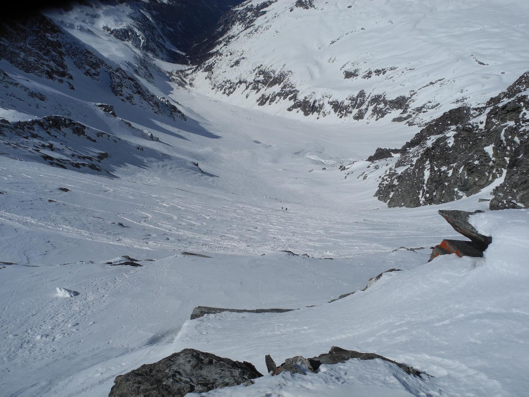
Radeckscharte – DER Freetouringklassiker vom Skigebiet Ankogel aus.
- Difficulty
-
medium
- Rating
-
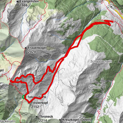
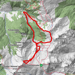
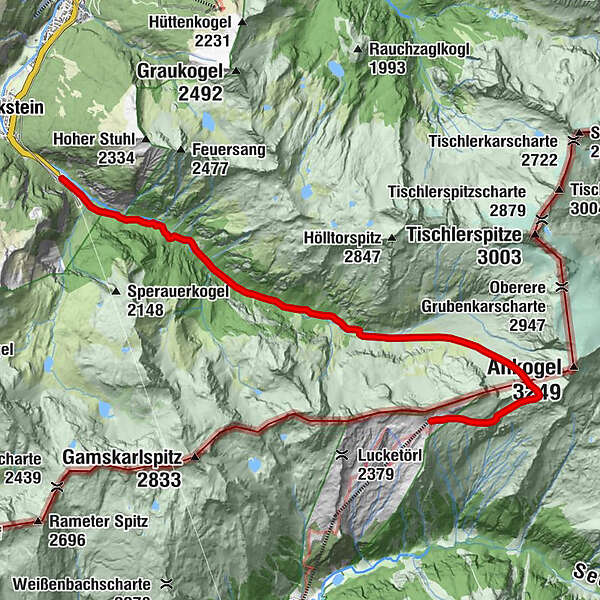
- Route
-
Radeckscharte (2,870 m)2.1 kmTauernbachfall8.4 km
- Best season
-
AugSepOctNovDecJanFebMarAprMayJunJul
- Highest point
- 2,856 m
- Endpoint
-
Bahnhof Böckstein
- Exposition
- Height profile
-


- Author
-
The tour Radeckscharte (2.874 m) vom Skigebiet Ankogel mit Abfahrt ins Anlauftal is used by outdooractive.com provided.
GPS Downloads


Other tours in the regions