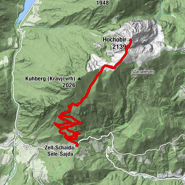
Tour data
14.26km
1,069
- 2,139m
1,157hm
1,157hm
06:21h
- Brief description
-
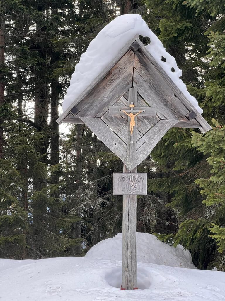
Schneeschuhwanderung vom Schaidasattel auf den Hochobir.
- Difficulty
-
medium
- Rating
-
- Starting point
-
Parkplatz direkt an der Landesstraße am Schaidasattel
- Route
-
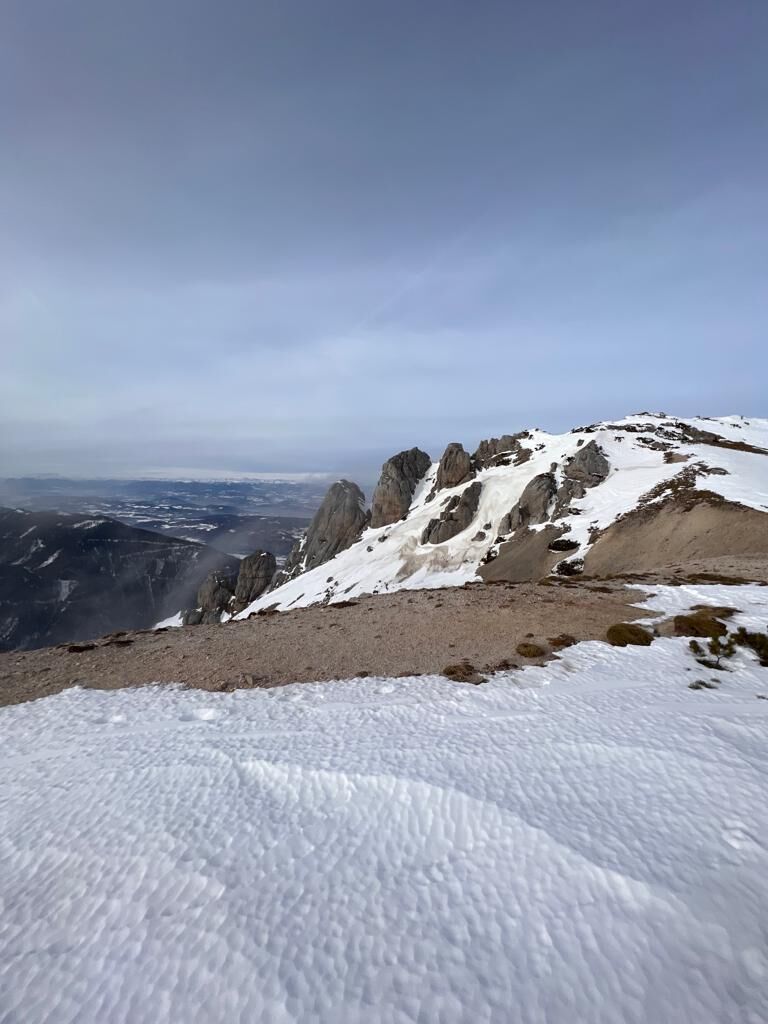
Hochobir (2,139 m)6.2 kmSchaidasattel (1,068 m)13.2 km
- Best season
-
AugSepOctNovDecJanFebMarAprMayJunJul
- Highest point
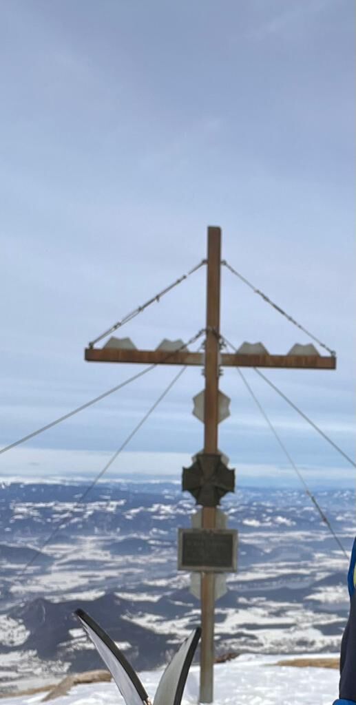
- Hochobir (2,139 m)
- Endpoint
-
Gipfelkreuz Hochobir