
- Brief description
-
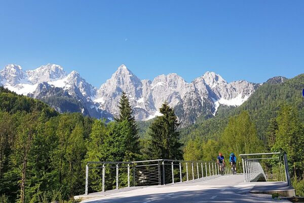
The most beautiful road bike tour in this area!
- Difficulty
-
difficult
- Rating
-
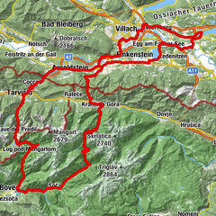
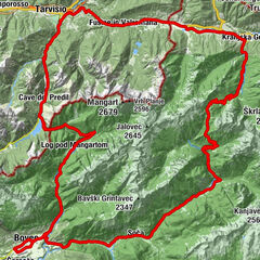
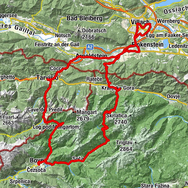
- Route
-
Innere Stadt0.3 kmVillach (501 m)0.6 kmWasenboden1.8 kmSeebach-Wasenboden2.8 kmAuen8.6 kmUnterfederaun13.1 kmHart15.1 kmPizzeria Basilico15.4 kmRiegersdorf16.4 kmTschau16.6 kmNeuhaus16.8 kmLind18.9 kmPöckau (578 m)19.5 kmPension Bella Italia22.1 kmWallner Alm22.2 kmOristagno (578 m)22.3 kmUnterstossau23.8 kmGreuth24.0 kmMaglern26.4 kmOberthörl27.5 kmGasthof Neuwirth27.9 kmUnterthörl28.0 kmEx Posta30.5 kmUntergoggau31.5 kmGoggau31.8 kmTarvis35.2 kmFlitschl (745 m)38.1 kmChiesa dei Santi Filippo e Giacomo38.1 kmCiutte39.0 kmKaltwasser (833 m)40.6 kmMauth42.1 kmRaibl44.5 kmNuova Parrocchiale44.5 kmGostilna Hermanov hram49.0 kmSmaragdno oko49.8 kmMangartski slap50.4 kmOberbreth51.9 kmBrettendorf55.4 kmGorenji Log55.5 kmBrunarica56.1 kmSpodnji Log56.2 kmFlitsch65.9 kmKal-Koritnica (460 m)70.5 kmHedvika70.5 kmVzporedni vodni kanal71.6 kmPodklanec75.5 kmŽupnijska cerkev sv. Jožefa78.2 kmSoča78.3 kmGostišče Andrejc78.3 kmGostilna Metoja85.9 kmPizzerija in špageterija Trenta86.8 kmTrentathal87.0 kmCerkev Device Marije Lavretanske89.7 kmPri Cerkvi89.7 kmŠupca (1,381 m)97.4 kmTonkina koča102.3 kmKoča na Gozdu104.0 kmMihov dom na Vršiču105.8 kmJasna110.3 kmPoletna restavracija110.3 kmCerkev Device Marije Vnebovzete112.3 kmKronau112.5 kmBrunarica Kosobrin114.0 kmWurzen115.3 kmGasthaus am Wurzenpass118.7 kmWurzenpass (1,073 m)119.3 kmKrainegg124.0 kmTschau125.2 kmRiegersdorf125.3 kmRadendorf125.6 kmPizzeria Basilico126.6 kmHart126.7 kmGasthaus Dorfwirt128.5 kmFürnitz (508 m)128.6 kmFürnitz128.8 kmPfarrkirche Heiliger Michael129.6 kmStobitzen130.9 kmTechanting131.4 kmNeumüllnern132.0 kmGödersdorf132.0 kmMüllnern132.3 kmVillach Westbahnhof137.4 kmInnere Stadt138.0 kmVillach (501 m)138.4 km
- Best season
-
JanFebMarAprMayJunJulAugSepOctNovDec
- Description
-
Villach (501 m) - Tarvis (750 m) - Cave del Predil (906 m) - Predil Pass (1156 m) - Bovec (460 m) -Visic Pass (1611 m) - Kranjska Gora (810 m). Follow the road via Tarvisio back to lake Faaker See.
- Directions
-
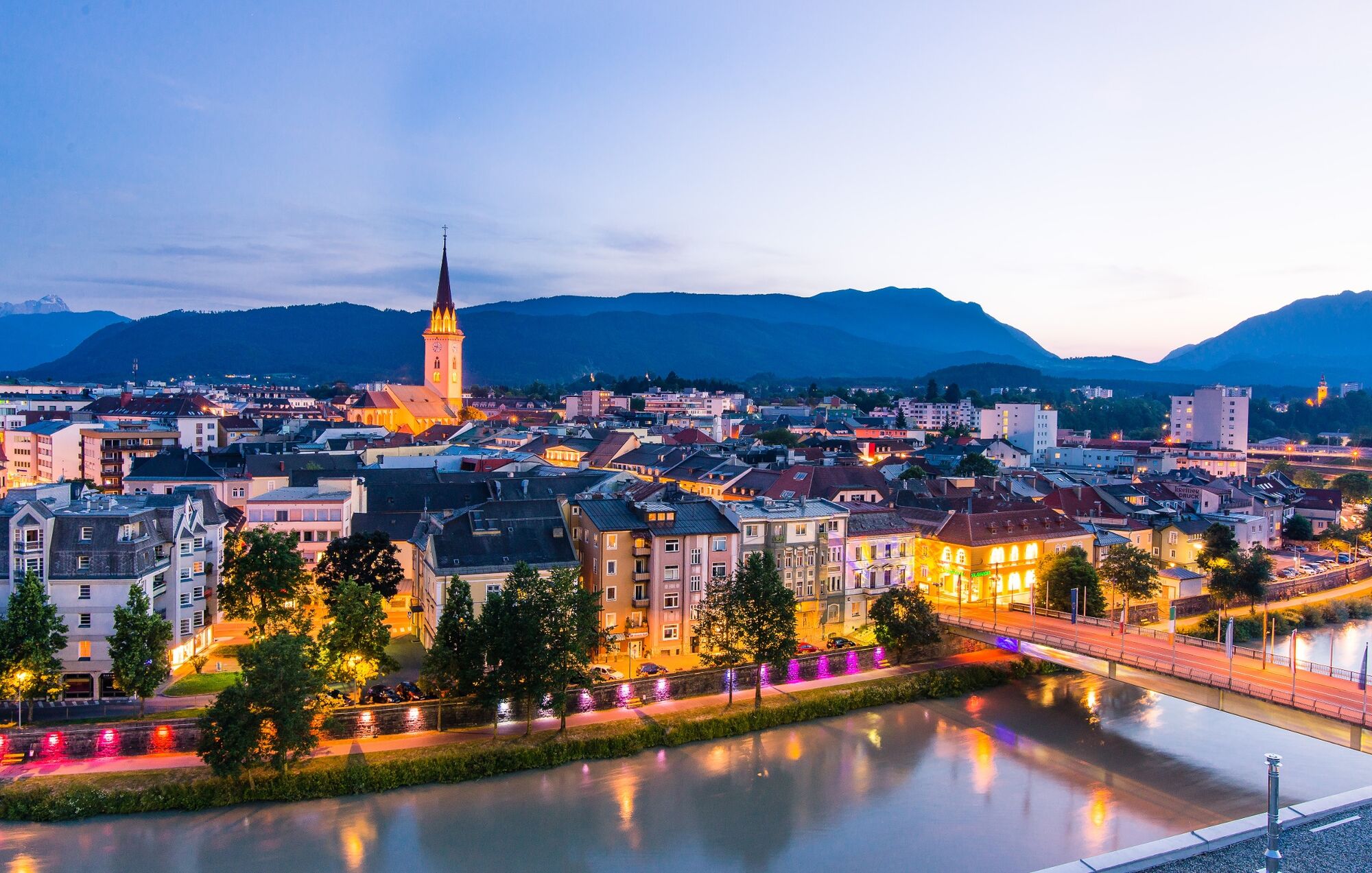
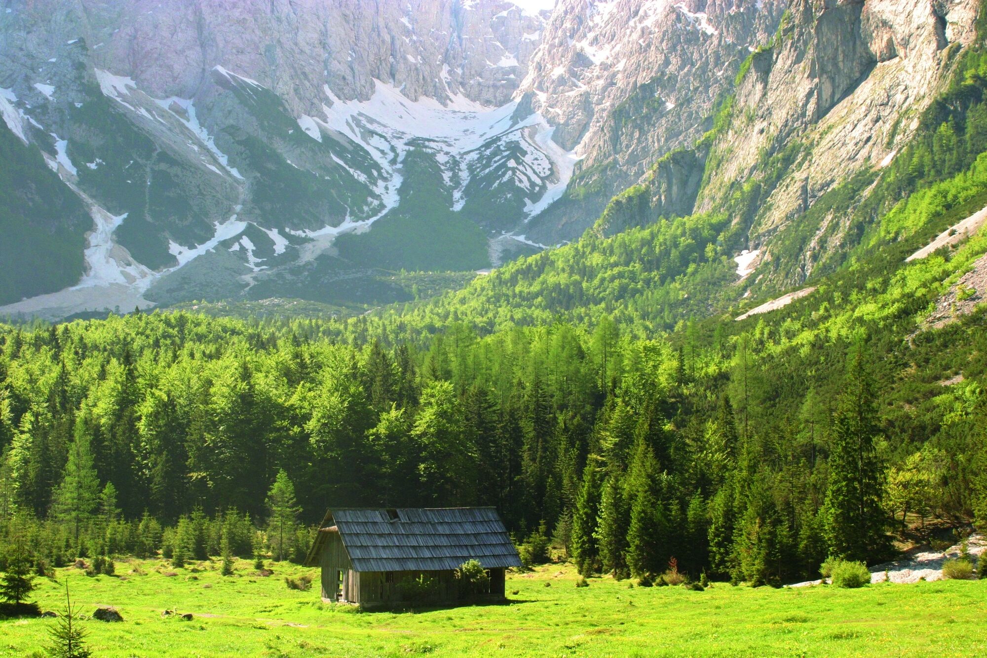
Starting point of the tour is the Villach. Afterwards, you will be on a direct route to the Italian border via Arnoldstein. Tarvis is reached within an hour. Many cyclists use the numerous cafes in Tarvis for a short stop and enjoy an espresso and a small snack. Immediately after the end of Tarvisio begins the ascent to the Passo Predil, a not too heavy slope with a magnificent view of the Lago del Predil and the Julian Alps. At the pass is also the border with Slovenia. In a rapid descent we continue to Bovec and the beautiful Socatal valley with the unmistakable turquoise blue waters of the Soca (= Isonzo). Having reached the village of Trenta, the long ascent to the Vrsic Pass begins. Cycling downhill there are 52 bends waiting for the cyclists, which are laid out with old paving stones.
Kranjska Gora invites you to a short stop again. A homemade "Gibanica" is for every cyclist the perfect refreshment for the remaining 40km. Cross the old cycle track along the old train track to Tarvis. In Fürnitz, you can decide whether the path leads directly back to Villach, or if your legs still allow a small detour around lake Faaker See and the 1987 cycling world championship track.
- Highest point
- 1,615 m
- Endpoint
-
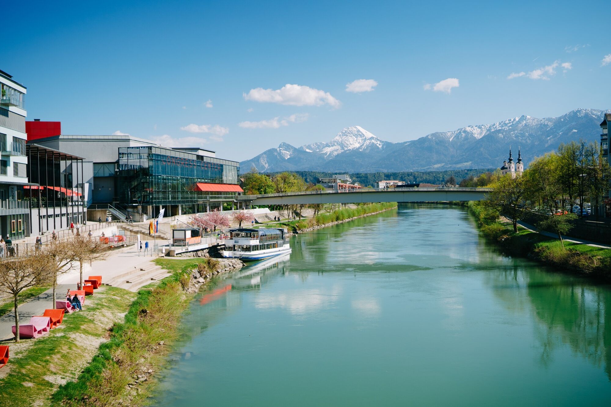
Villach
- Height profile
-

- Equipment
-
The ascents are not very steep but quite long. Don´t forget your wind jacket.
- Tips
-
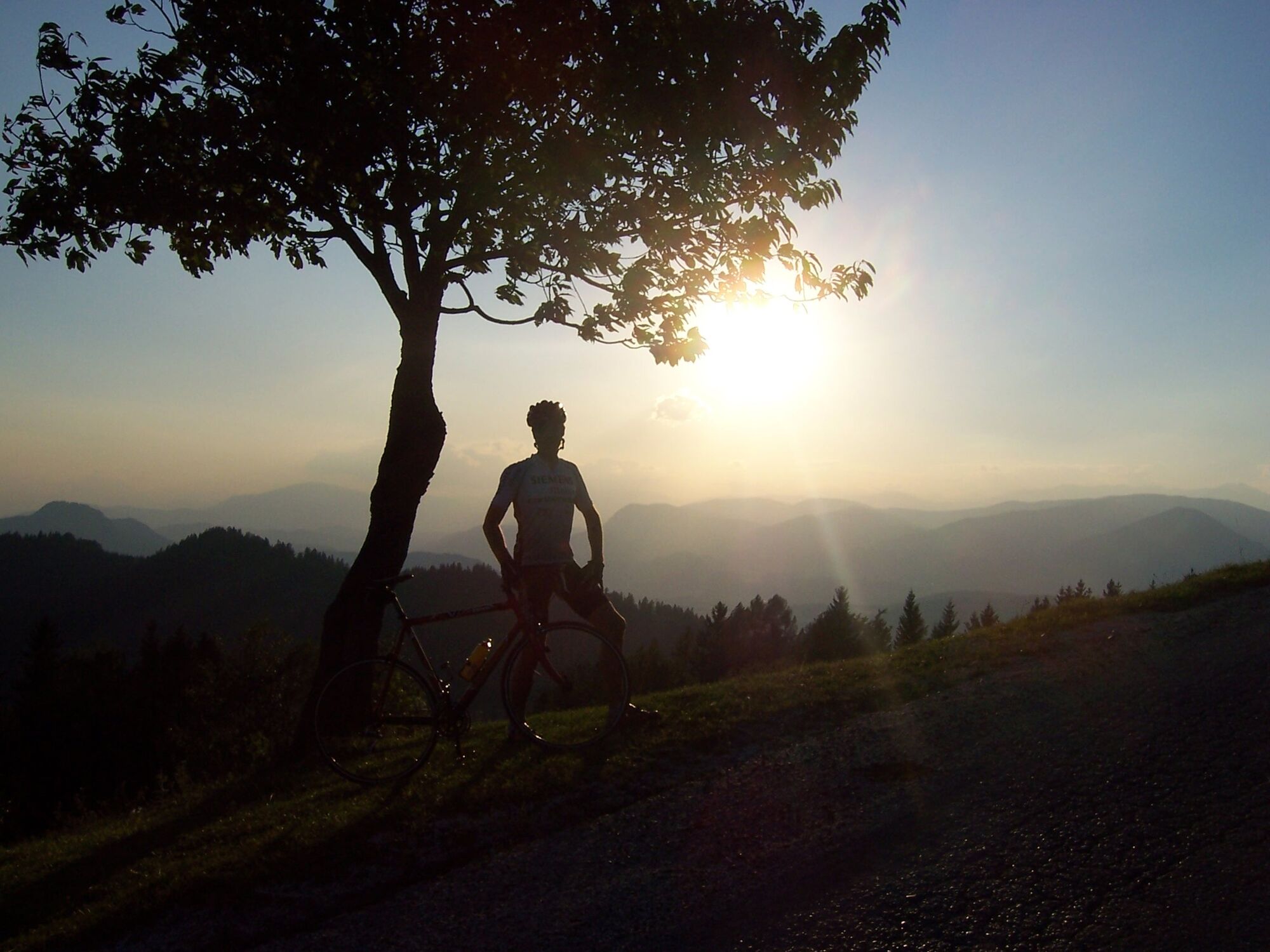
Don´t forget to take a camera along - there are many beautiful spots on the way!
- Additional information
- Directions
-
Villach is easily accessible via the A10 and A2 motorways.
- Public transportation
- Parking
-
There are plenty of parking spaces in the city centre - there are permanent parking spaces near the Nikolaikirche church and at the Willroider car park (west of the railway station).


- Author
-
The tour Three-Countries-Tour - AT-ITA-SLO is used by outdooractive.com provided.