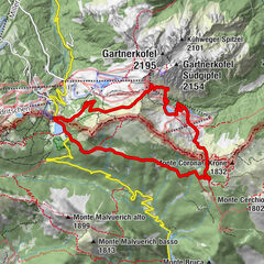
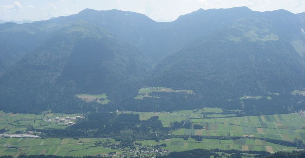
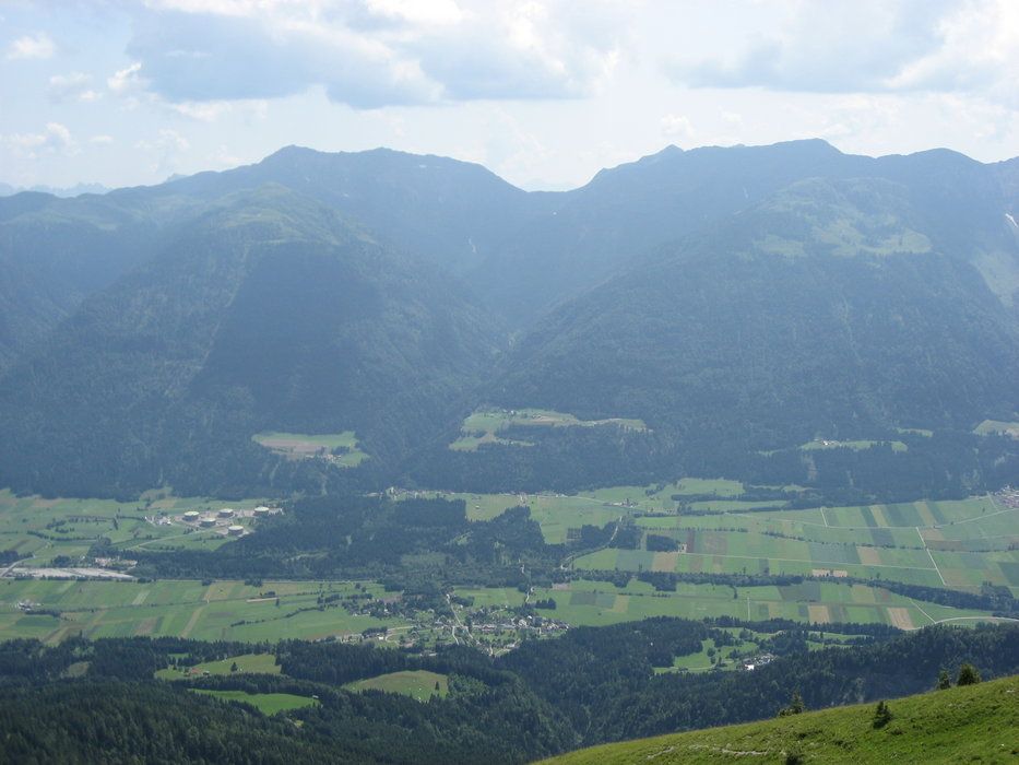
Grafendorf - Zollner Alm - Obere / Untere Bischof Alm - Untere Frondell Alm - Kronhof

Mountainbike
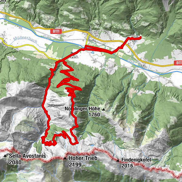
Tour data
38.3km
654
- 1,795m
1,298hm
03:30h
- Brief description
-
tolle Tour, für jeden etwas dabei
- Rating
-
- Starting point
-
Grafendorf im Gailtal / es können aber auch andere Ausgangspunkte gewählt werden
- Route
-
Grafendorf0.4 kmWeidenburg5.0 kmGratzhof6.1 kmFriedenskapelle19.0 kmZollnersee Hütte19.2 kmKronhof30.9 kmWeidenburg31.8 kmGrafendorf36.9 km
- Highest point
- 1,795 m
- Rest/Retreat
-
Obere Frondell Alm Öffnungszeiten beachten: www.frondell-alm.at
GPS Downloads


Surfaces
Asphalt
Gravel
Mountain paths
Single trails
Trial
Traffic
Other tours in the regions