© Hohe Tauern - die Nationalpark-Region in Kärnten Tourismus GmbH - Reinhard Kager

© TVB Obervellach-Reißeck - Karin Kröll
© Hohe Tauern - die Nationalpark-Region in Kärnten Tourismus GmbH - Nationalpark Region Hohe Tauern Kärnten

© Hohe Tauern - die Nationalpark-Region in Kärnten Tourismus GmbH - Reinhard Kager

© Hohe Tauern - die Nationalpark-Region in Kärnten Tourismus GmbH - Reinhard Kager

© Hohe Tauern - die Nationalpark-Region in Kärnten Tourismus GmbH - Reinhard Kager
Tour data
10.7km
663
- 1,308m
641hm
147hm
02:11h

- Brief description
-
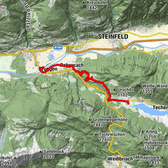
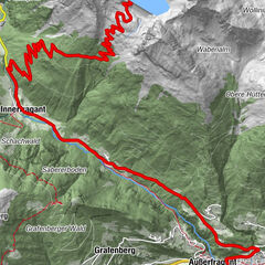
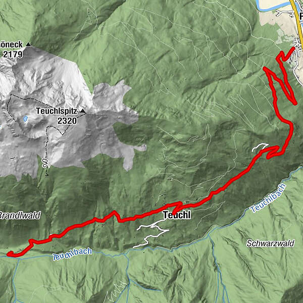
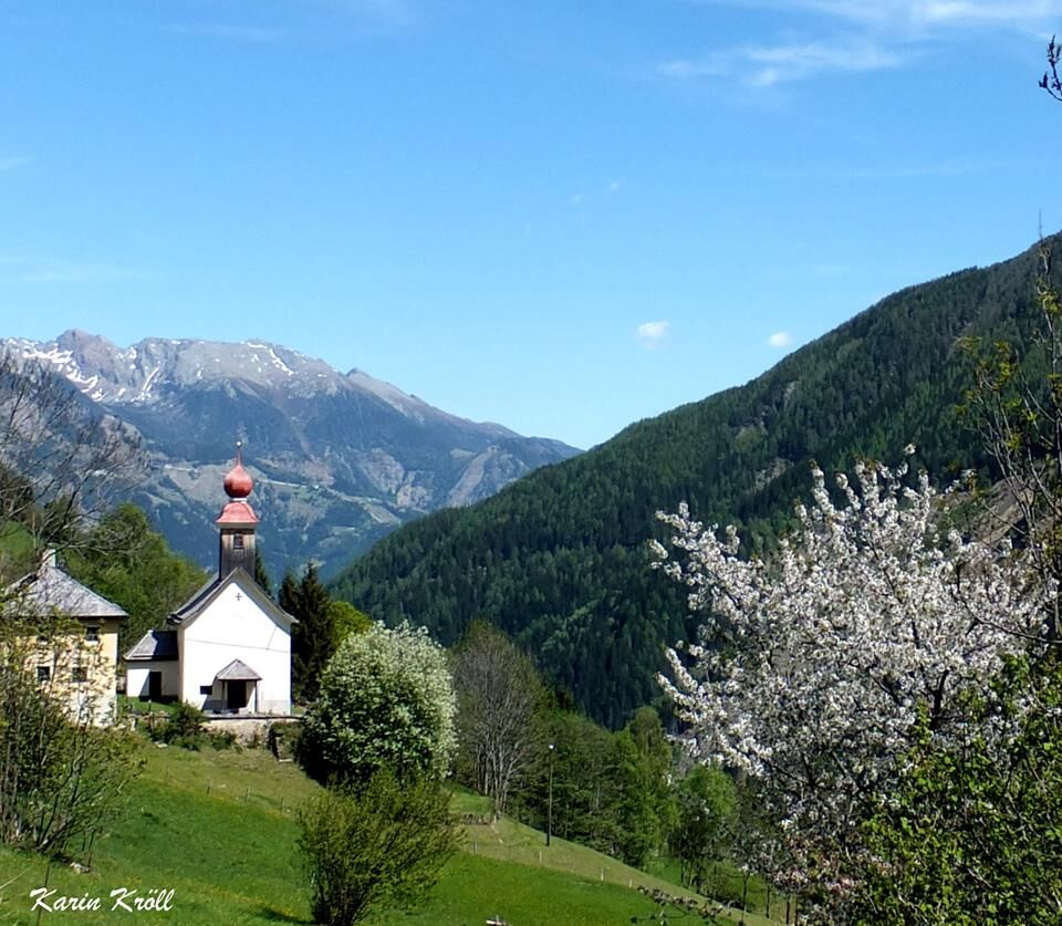
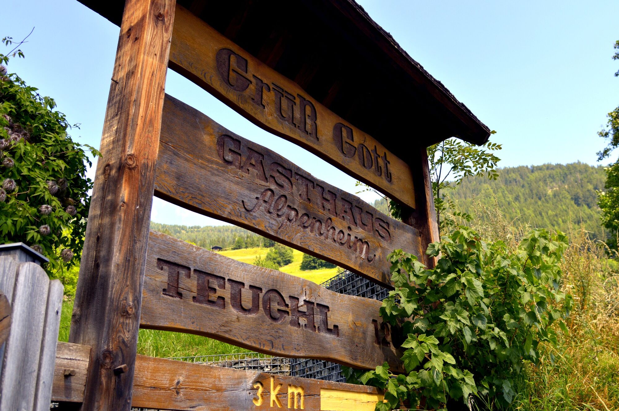
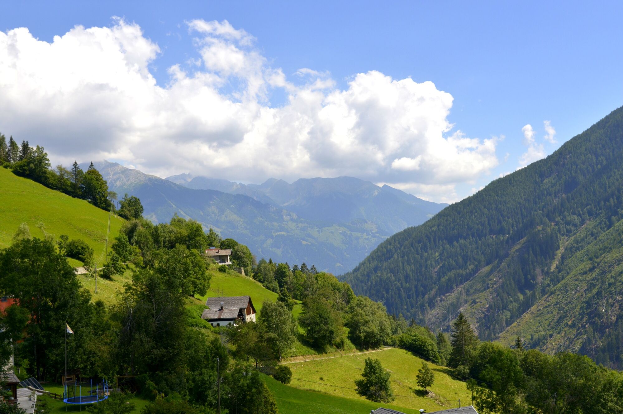
Die Tour führt von Penk (Gemeinde Reißeck) in die Teuchl ein Seitental des Mölltals. Endpunkt der Tour ist der Gasthof Alpenheim. Ausgangspunkt der Tour ist Kohlstatt das auf der Talrunde Mittleres und Unteres Mölltal liegt.
- Difficulty
-
medium
- Rating
-
- Route
-
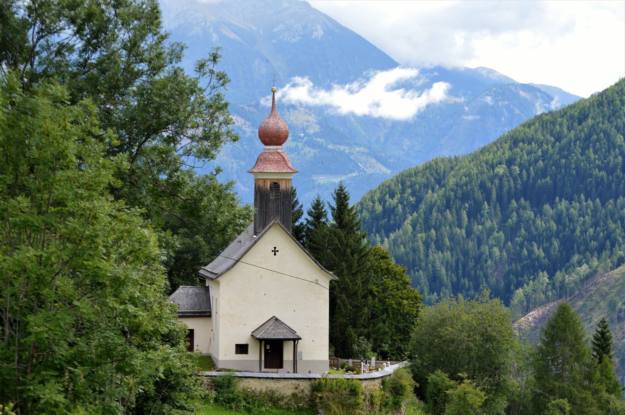
KohlstattObersabernig5.7 kmTeuchl6.7 kmKirche Zur Heiligen Dreifaltigkeit7.3 kmAlpenheim10.7 km
- Best season
-
JanFebMarAprMayJunJulAugSepOctNovDec
- Highest point
- 1,308 m
- Endpoint
-
Gasthof Alpenheim
- Height profile
-

- Author
-
The tour Teuchl (RE4) is used by outdooractive.com provided.
GPS Downloads


General info
Refreshment stop
Other tours in the regions