Gesundheitslauf - Jogging and Trail Running Arena Warmbad-Villach


- Brief description
-
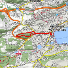
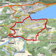
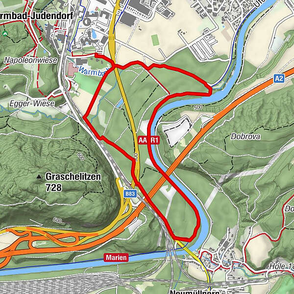
Flat course east of the railway line past the driving range and downstream of the Gail to the starting point Sportpark.
- Difficulty
-
easy
- Rating
-
- Starting point
-
Starting point Sportpark
- Route
-
Müllnern2.1 kmVillach (501 m)4.7 km
- Best season
-
JanFebMarAprMayJunJulAugSepOctNovDec
- Description
-
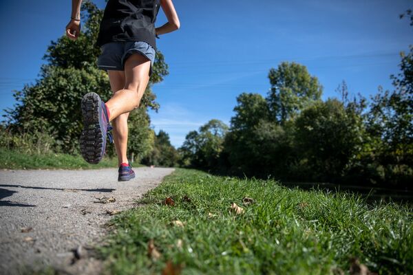
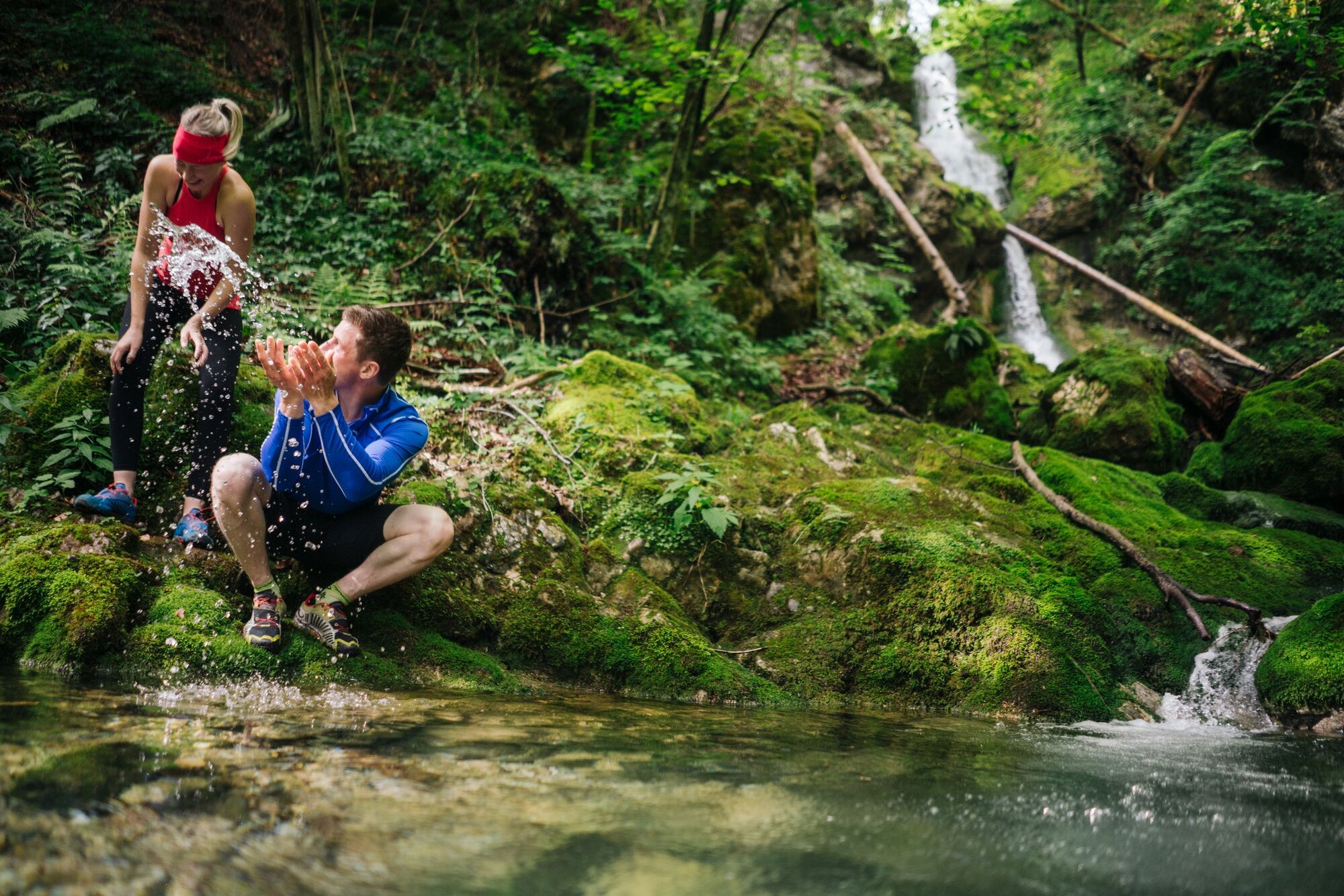
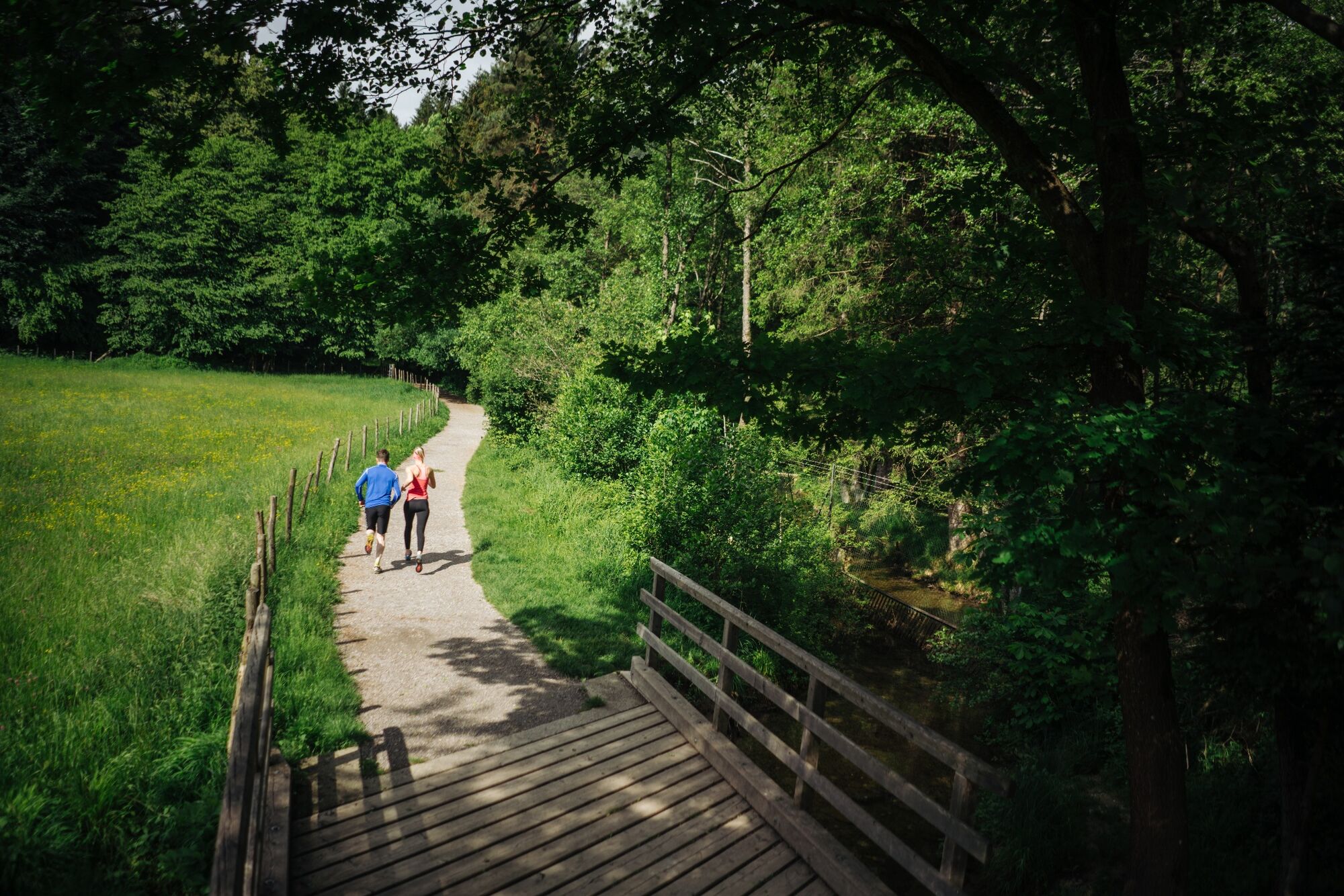
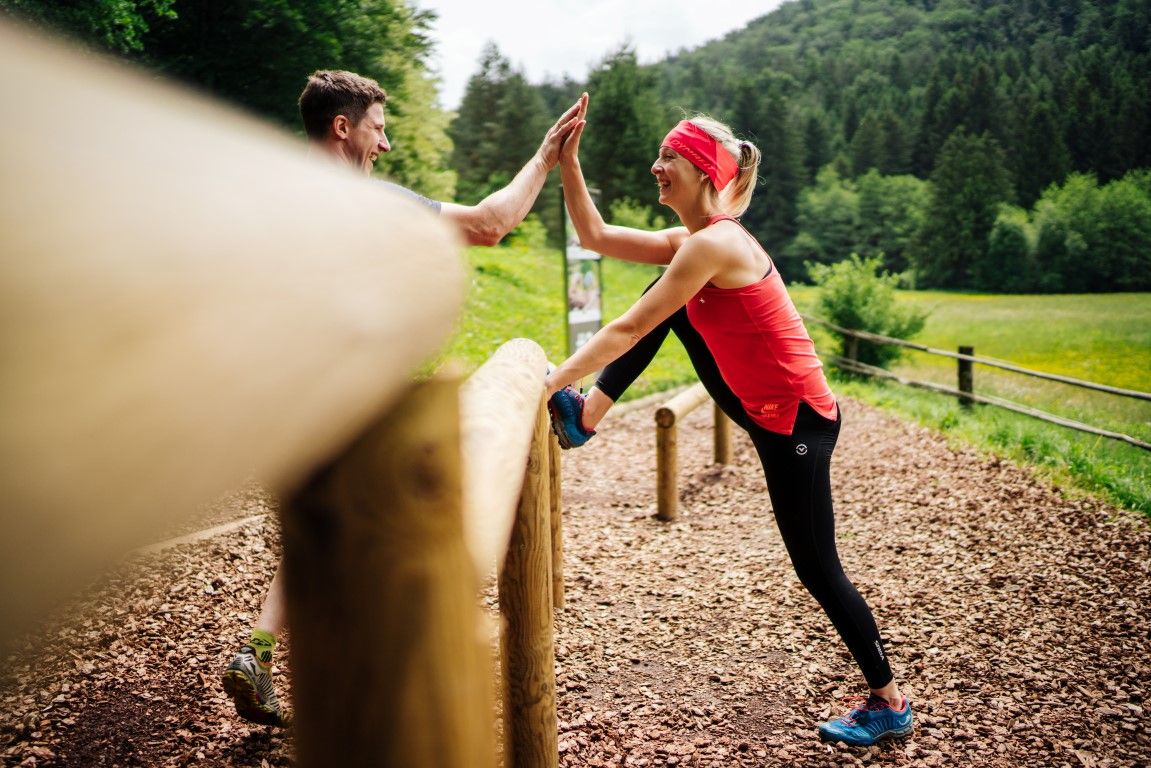
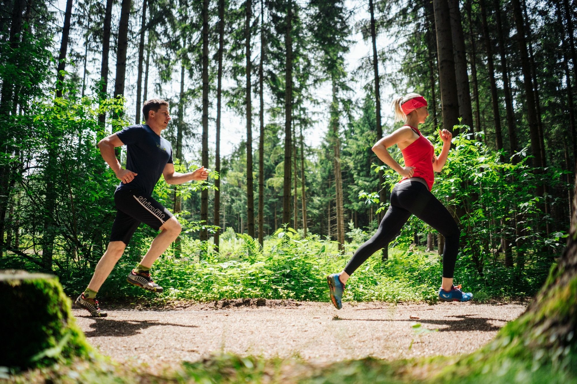
Running and nature experience - two basic needs that meet in the new running and trail running Arena Villach Warmbad. The route network of the newly developed running and trail running arena offers seven selected running and trail running routes with a total length of over 50km. Multifaceted nature spectacle meets versatile running experience!
- Directions
-
Starting at the starting point Sportpark, follow the running signs to the southern end of the driving range and turn left at the end of the path in front of the railway embankment. For a few meters it goes along the railway embankment before turning left into a forest section. The track once crosses the L51 Gödersdorfer Straße, then follow the footpath and cycle path to the Gail Bridge. Before the bridge turn left and after a few meters left again. Downstream, follow the flat paved footpath and cycle path until you reach a wooden bridge with adjoining parking. Here you keep left and follow the path along the Warmbach back to the starting point.
- Highest point
- 501 m
- Endpoint
-
Starting point Sportpark
- Height profile
-

- Equipment
-
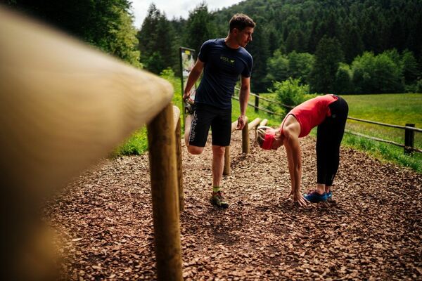
Running shoes with good outsole, running clothes, drinks, changing clothes, mobile phone, first aid
- Safety instructions
-
The route leads over mostly steep forest and forest roads, which require a safe, coordinated and controlled running technique. Two different runner icons have been developed to differentiate the trail running tracks from the normal running tracks and are visible on each additional signage.
- Additional information
- Arrival
-
The Warmbad spa resort can be reached via the Tauernautobahn (A10), the Südautobahn (A2) in the direction of Italy (exit Warmbad-Villach) and the Warmbader Allee.
- Public transportation
- Parking
-
At the KärntenTherme you can park for a small fee. In the vicinity there are also free parking spaces available.


- Author
-
The tour Gesundheitslauf - Jogging and Trail Running Arena Warmbad-Villach is used by outdooractive.com provided.