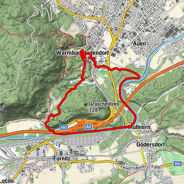
Federaun Runde - Jogging and Trail Running Arena Warmbad-Villach


- Brief description
-
Big 10km-round up the Gail on the places Unter and Oberfederaun with small climbs from half the distance.
- Difficulty
-
medium
- Rating
-
- Starting point
-
Starting point Sportpark
- Route
-
Müllnern2.7 kmUnterfederaun5.2 kmFilialkirche Heiliger Matthäus5.5 kmOberfederaun6.0 kmWarmbad-Judendorf8.7 kmWarmbader Hauskapelle9.0 kmVillach (501 m)9.2 km"Das kleine Restaurant" im Warmbaderhof9.3 kmEssbar Caldarium9.8 km
- Best season
-
JanFebMarAprMayJunJulAugSepOctNovDec
- Description
-
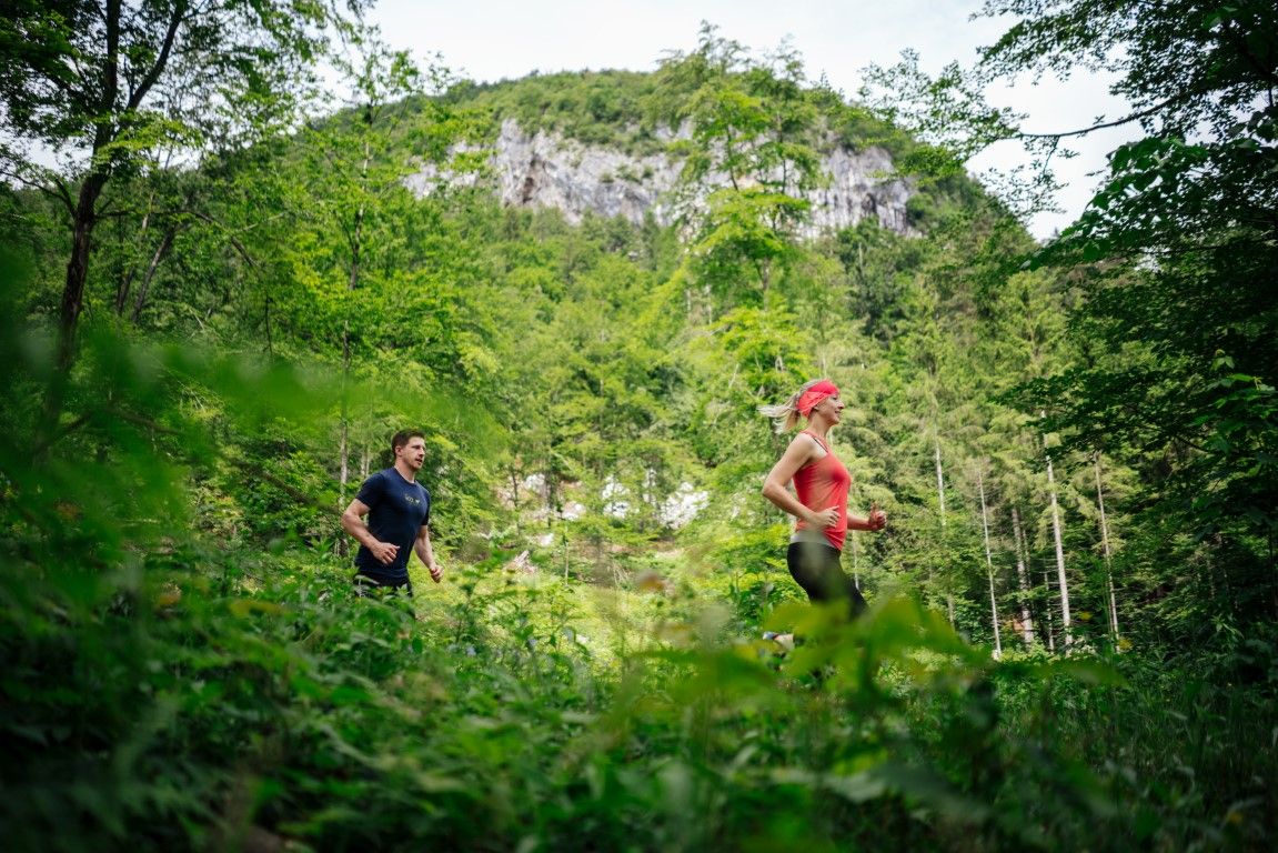
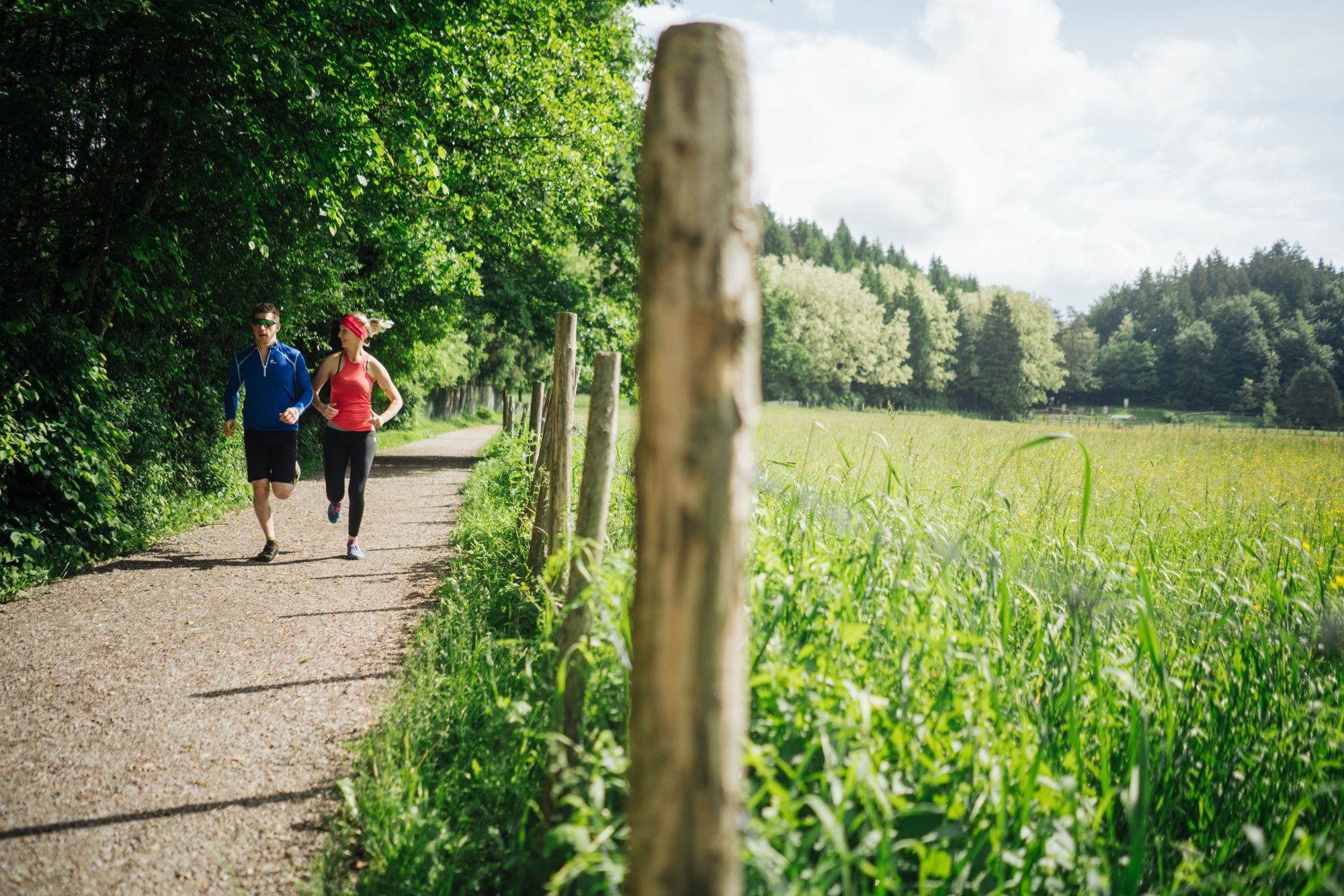
Running and nature experience - two basic needs that meet in the new running and trail running Arena Villach Warmbad. The route network of the newly developed running and trail running arena offers seven selected running and trail running routes with a total length of over 50km. Multifaceted nature spectacle meets versatile running experience!
- Directions
-
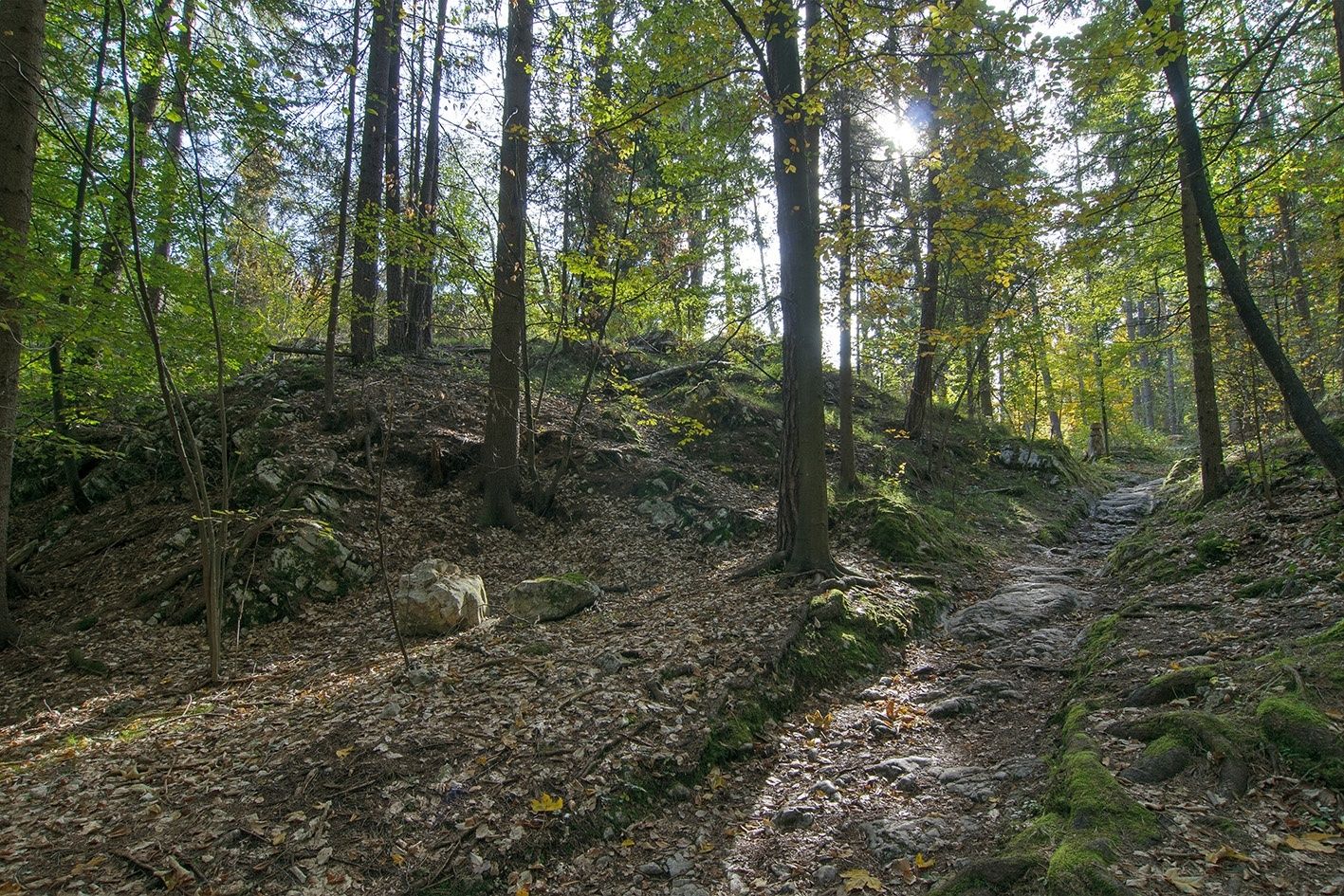
Starting at the starting point Sportpark, follow the running signs along the Zillerbach to the footpath and cycle path on the Gail. Follow the paved riverside path upriver to the Gail bridge at Müllnern. Under the bridge, it goes without change of direction to the place name Federaun. Shortly after the sign you turn right under the motorway bridge and then immediately left again. At the left side of the road, follow the road for about 100 meters to a small chapel. Here you cross the road and branch off into the slightly ascending road to Oberfederaun. In Oberfederaun keep straight on towards Doktorweg, which after a few minutes opens into another forest road. After about 25 m, a forest trail branches off to the left, which leads to the deer enclosure at the Egger Wiese. At the end of the enclosure turn left again and follow the narrower ascending path up to the burial mounds. It is flat now to Birkenhain. Turn right here and follow the descending path to the spa park at the Kärnten Therme. At the train station Warmbad you use the underpass to get back to the starting point.
- Highest point
- 563 m
- Endpoint
-
Starting point Sportpark
- Height profile
-

- Equipment
-
Running shoes with good outsole, running clothes, drinks, changing clothes, mobile phone, first aid
- Safety instructions
-
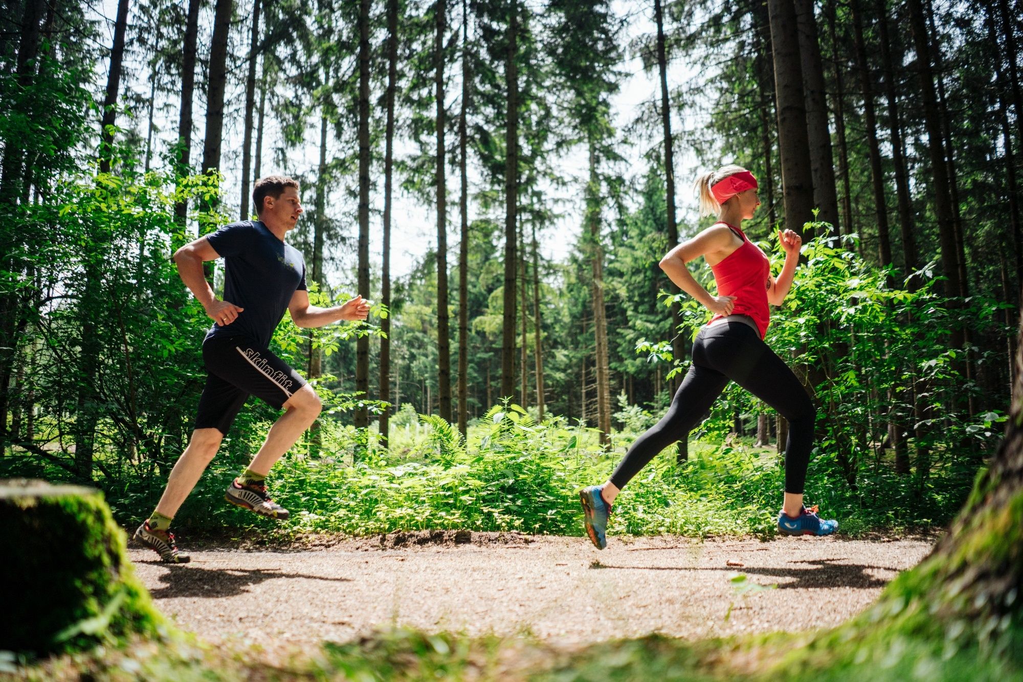
The route leads over mostly steep forest and forest roads, which require a safe, coordinated and controlled running technique. Two different runner icons have been developed to differentiate the trail running tracks from the normal running tracks and are visible on each additional signage.
- Additional information
- Directions
-
The Warmbad spa resort can be reached via the Tauernautobahn (A10), the Südautobahn (A2) in the direction of Italy (exit Warmbad-Villach) and the Warmbader Allee.
- Public transportation
- Parking
-
At the Kärnten Therme there are plenty of paid parking spaces. In the vicinity there are also free parking.
- Author
-
The tour Federaun Runde - Jogging and Trail Running Arena Warmbad-Villach is used by outdooractive.com provided.