Winter
Summer
Weather
Webcams
Accommodations
Tours
Search history
Search suggestions
No results found
Search
Tours
Home
Summer Österreich
Carinthia
Tours
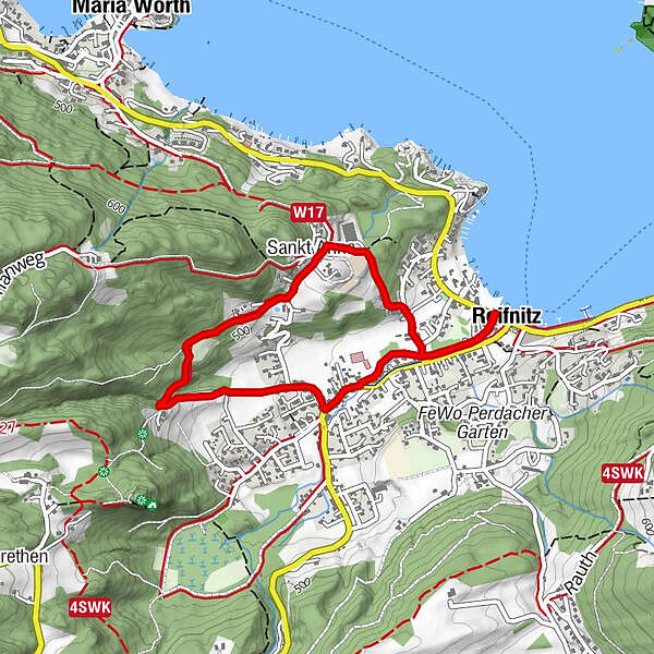
St. Anna Runde
Regions
Weather
Webcams
Tours
Highlights
Bathing lakes
Accommodations
Offers
Sports provider
Events
Ski resorts
Cross-country skiing
Snow parks
St. Anna Runde
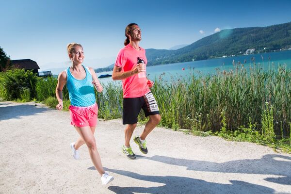
Running
Bookmark
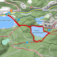
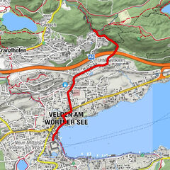
Map
show
hide
Print
Tour data
3.67
km
441 - 520
m
Distance
80
hm
66
hm
Ascent
01:22
h
Duration
RUNNERSFUN Consulting GmbH
Difficulty
difficult
Rating
Technique
Fitness
Landscape
Experience
Route
Reifnitz
village
0.0 km
Sankt Anna
hamlet
1.1 km
Highest point
520 m
Height profile
Author
RUNNERSFUN Consulting GmbH
The tour
St. Anna Runde
is used by
outdooractive.com
provided.
Write a review
Overall rating
5
0
%
4
0
%
3
0
%
2
0
%
1
0
%
Reviews
(0)
0 Comments
Write a review
Error
An error has occurred. Please try again.
Thank you for your review
Rating has been deleted
Report tour
GPS Downloads
GPX
GPS Exchange Format (XML)
KML
Google Earth, Google Maps
QR Download Codes for Mobile Phones
St. Anna Runde
QR Codes - tour download for cell phones
GPX
KML
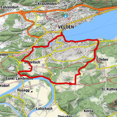
Other tours in the regions
Wörthersee - Rosental
186
Feldkirchen und Umgebung
146
Keutschach am See
122
Popular tours in the area
X-BIONIC Runde
medium
Running
11.81
km |
130
hm |
02:20
h
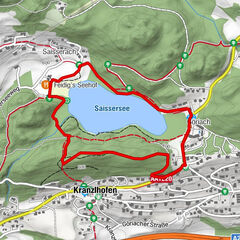
Saissersee Runde
easy
Running
2.81
km |
37
hm |
00:45
h
TREIMISCHER TEICH PARCOURS
easy
Running
1.32
km |
8
hm |
00:13
h
Engstler Römerschlucht
difficult
Running
2.58
km |
88
hm |
00:46
h
No entries found.
The search is currently not available.
Please refine your search.
Local search results
(<= 25km)
More results
(> 25km)
%count% Search results
%name%
%type%
%elevation%
%population%
%lpButton%