
- Difficulty
-
easy
- Rating
-
- Route
-
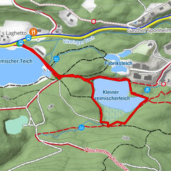
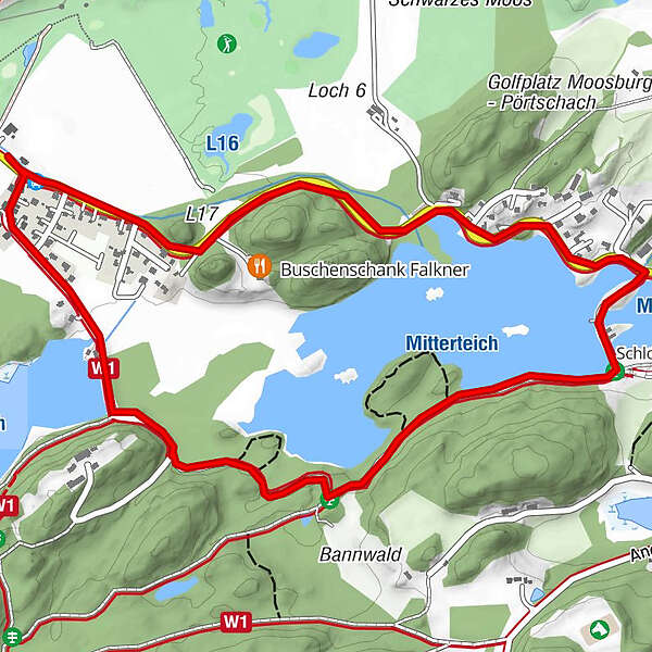
StallhofenZum Dammwirt1.6 kmzum Dammwirt1.6 kmStallhofen3.5 km
- Highest point
- 516 m
- Height profile
-

- Author
-
The tour Mitterteich Runde is used by outdooractive.com provided.
GPS Downloads


Other tours in the regions
-
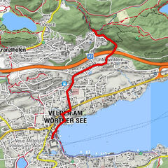
Wörthersee - Rosental
186
-
Feldkirchen und Umgebung
146
-
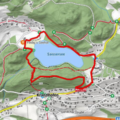
Moosburg
114