
- Brief description
-
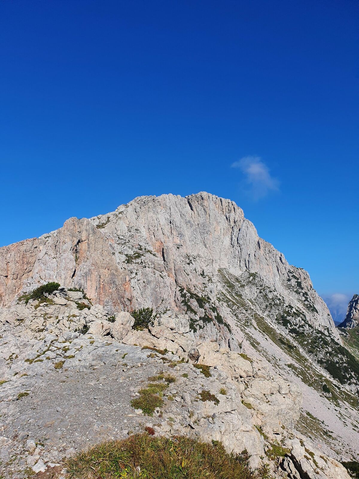
Surprisingly easy but interesting climb through the east face of the Trogkofel. NOT INSURED!
- Difficulty
-
mediumDifficulty level B
- Rating
-
- Route
-
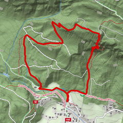
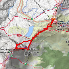
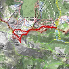
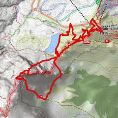
Trogkofel (2,279 m)3.0 km
- Best season
-
JanFebMarAprMayJunJulAugSepOctNovDec
- Description
-
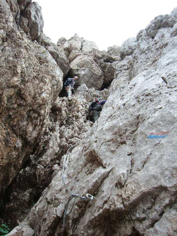
Difficult passages are insured with chains, 3 ladders in total, partly exposed, no continuous rope insurance possible! Easy via ferrata, mostly A to B, one point is B/C. Sure-footedness and a head for heights required.
- Directions
-
TROGKOFEL 2,230 m - Overlap climbing
Point of origin:
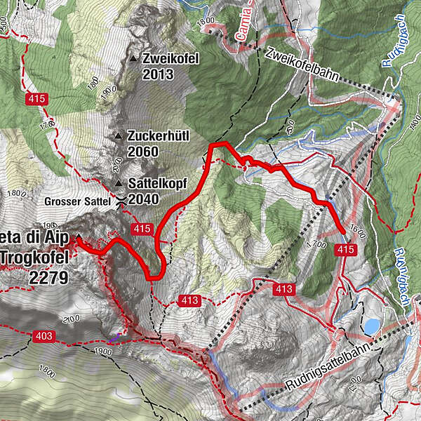
Rudnig Alm - via Spießhütte along the Trogtal -
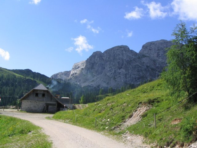
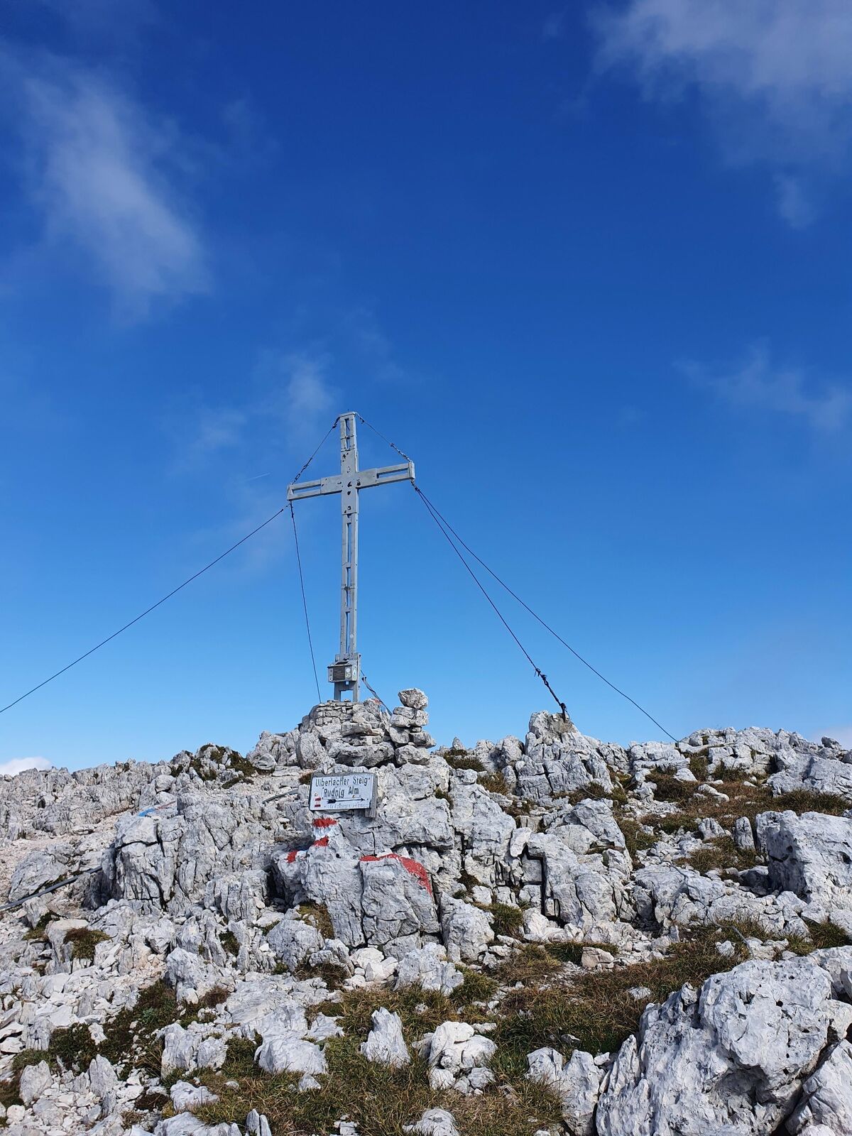
North side of the Trogkofel Shortly before the Rudnigalm, the path leads right towards the Spießhütte (starting altitude 1,621m). Here the Trogtal begins directly below the Trogkofel north face. Here there is a turn-off "Großer Sattel" to the right, but we keep left and walk towards Karnischen Höhenweg 403. From here the path leads steeper uphill, and leads directly from the left side to the north face. After the first short ladder, the path climbs up in the scree to a ramp secured with chains, which leads to the second steep ladder. At the end of the second steep ladder, a narrow cut is made with the help of stepping pins and iron chains (be careful when descending.) This is followed by a short, somewhat exposed traverse, and shortly afterwards a chimney-like crack with chain insurance. The further way to the summit consists mainly of walking terrain with three chain-insured rock steps (beautiful rock landscape). From the exit on the Trogkofel plateau it is only a few minutes to the right to the summit cross. Difficulty level B, absolute freedom from giddiness required rewarding summit plateau, insured with chains and ladders. Some passages rockfall endangered and very slippery when wet. Ascent: about 3 hours
Descent: same route back, or via the via ferrata "Ferrata Crete Rosse".
- Highest point
- 2,280 m
- Endpoint
-
Trogkofel
- Height profile
-

- Equipment
-
HELM!!
Sturdy shoes
Via ferrata set
Climbing harness
Backpack with emergency equipment
Drinks and possibly something to eat - Safety instructions
-
Difficulty level B, absolute freedom from giddiness required rewarding summit plateau, insured with chains and ladders. Some passages rockfall endangered and very slippery when wet.
Plan every route exactlyProper mountaineering equipmentAnnounce the route and destination of the mountain tour to someoneAdapt the pace to your conditionDo not leave marked pathsStepping on stones is to be avoided at all costs, pass areas at risk of stone impact quicklyTurn back - in case of weather change or fog or if the path becomes too difficultIn the event of an accident, keep calm, help by shouting, light signals 6 x per minute, regular signs, waving large items of clothing or using a mobile phone (Tel. Mountain Rescue: 144)Keeping the mountain world clean is the duty of every mountain hikerDo not feed wild and grazing animalsApproach grazing animals only from the frontVia ferrata should never be used with a dog
- Directions
-
Drive from Tröpolach towards Rattendorf and follow the sign Schlanitzen at the western end of Tröpolach. From there a gravel road leads to the Rudnigalm with parking facilities.
- Public transportation
-
Arrival to Tröpolach by public transport possible!
www.nassfeld.at/mobilitaet
- Parking
-
at the Rudnigalm


- Author
-
The tour Überlachersteig-Trogkofel 2.230m is used by outdooractive.com provided.