© Anton_S - Goldtoni

© Lechner Nicole

© Anton_S - Goldtoni

© Anton_S - Goldtoni

© Anton_S - Goldtoni

© Anton_S - Goldtoni

© Anton_S - Goldtoni
Tour data
26.68km
922
- 3,076m
2,245hm
2,245hm
09:49h
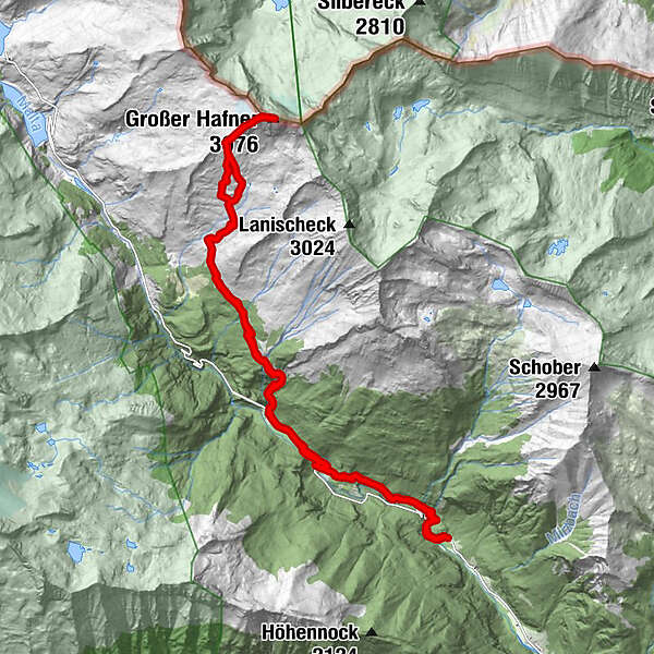
- Brief description
-
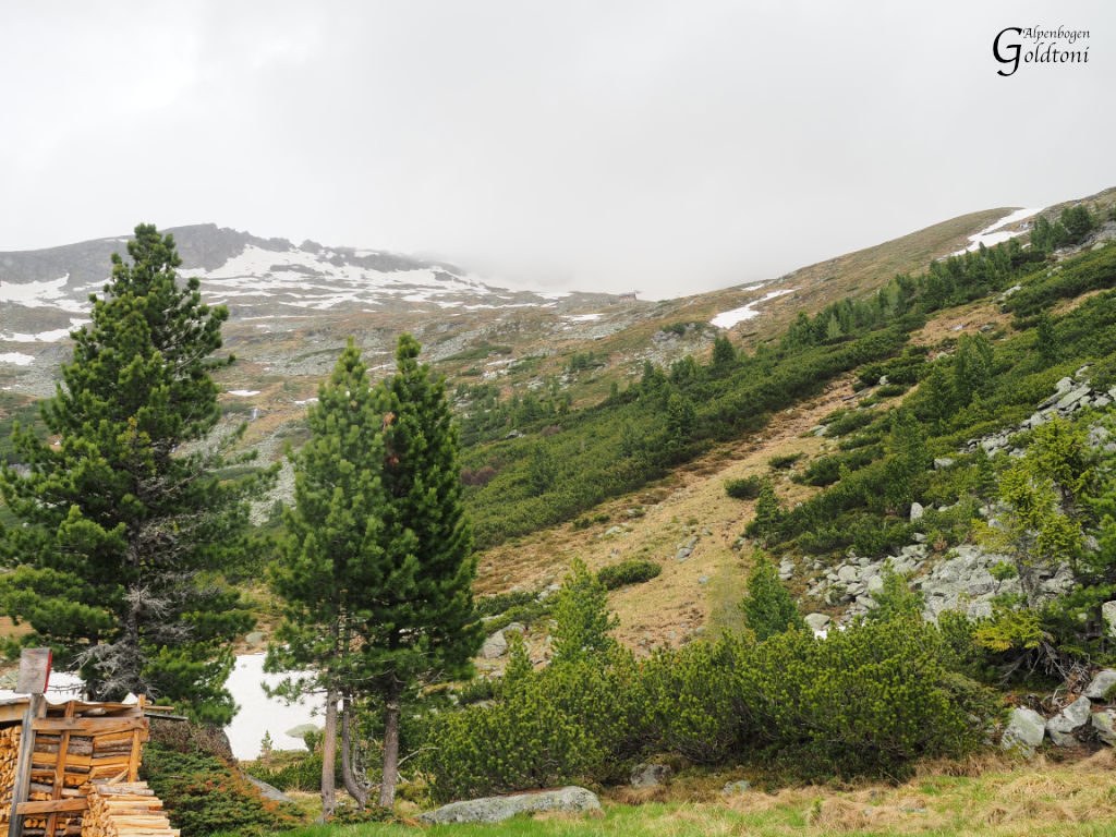
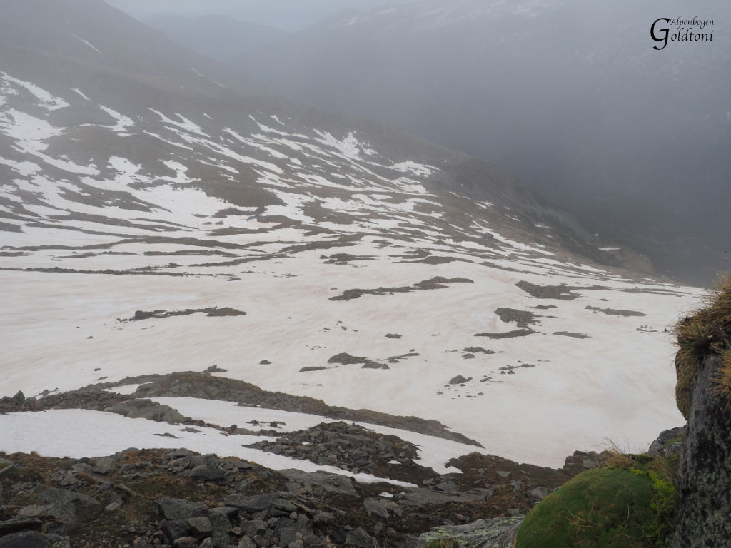
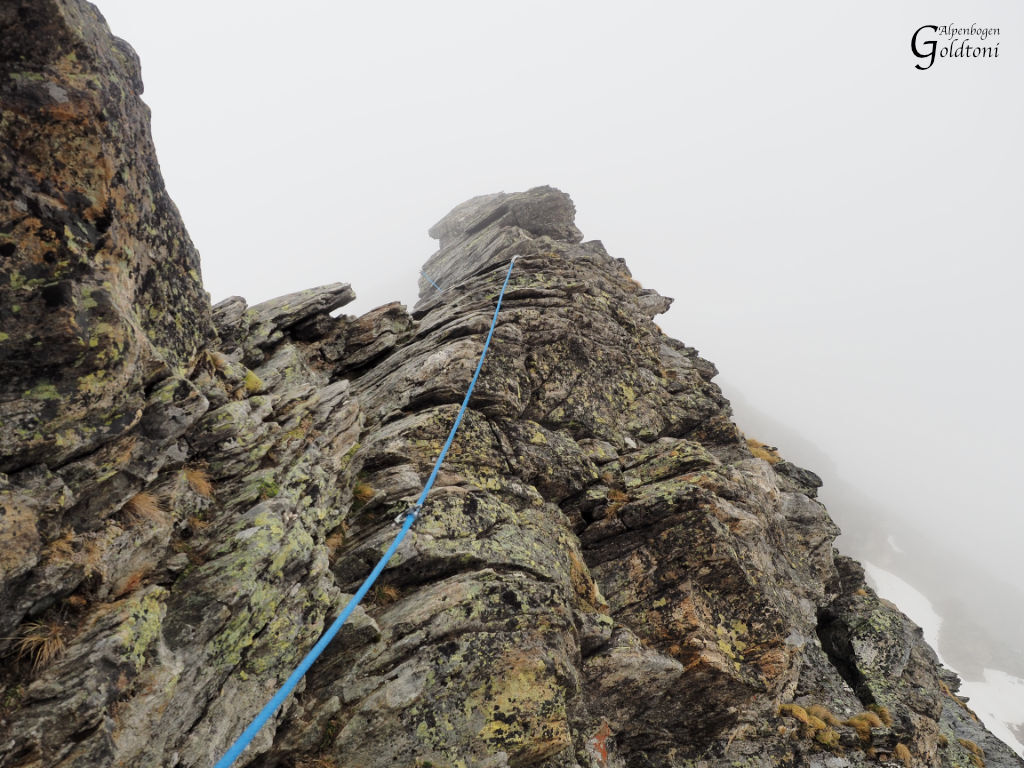
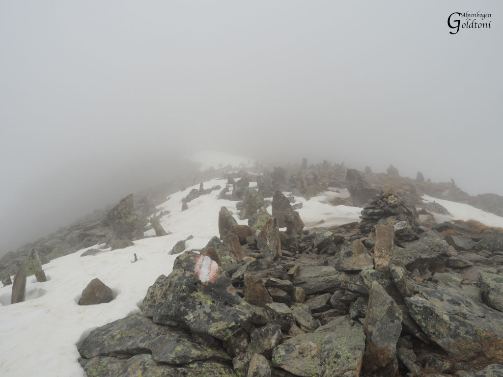
Falleralm 922m - Kattowitzerhütte 2320m - Großer Hafner 3076m - Kattowitzerhütte 2320m - Falleralm 922m
- Difficulty
-
difficult
- Rating
-
- Route
-
Fallerhütte0.1 km1. Fallertumpf0.4 km2. Fallertumpf0.6 kmHochsteg Klamm1.2 kmMelnikfall1.4 kmJausenstation Hohe Brücke3.3 kmHochalm waterfall4.7 kmGmünder Hütte4.7 kmObere Maralm8.1 kmKattowitzer Hütte11.2 kmGroßer Hafner (3,076 m)13.8 kmKattowitzer Hütte16.4 kmObere Maralm19.3 kmHochalm waterfall22.1 kmGmünder Hütte22.1 kmJausenstation Hohe Brücke23.7 kmMelnikfall25.6 km2. Fallertumpf26.1 kmFallerhütte26.6 km
- Best season
-
JanFebMarAprMayJunJulAugSepOctNovDec
- Highest point
- Großer Hafner (3,076 m)
- Rest/Retreat
-
Kattowitzer Hütte


- Source
- Toni Sommer
GPS Downloads


Other tours in the regions