


- Brief description
-
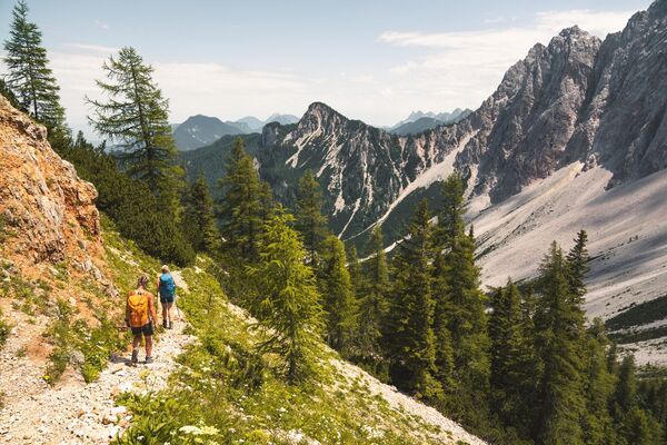
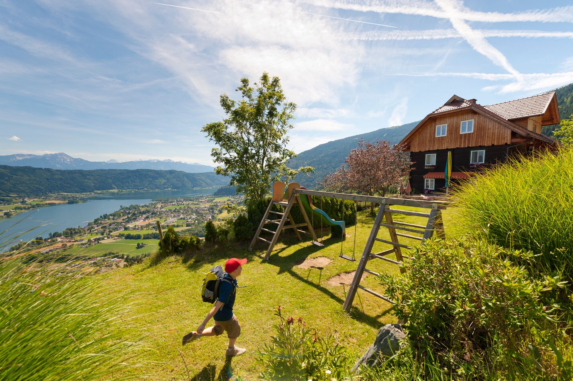
All roads lead to Rome: On this stage of the Alpe Adria Trail you can look forward to a scenically beautiful hike from Lake Ossiacher See to Lake Wörthersee. Which means you will be going from the lake that is richest in fish to the largest, best known and most dazzling lake in Carinthia, and some of the time you will be walking along Roman paths.
- Difficulty
-
medium
- Rating
-
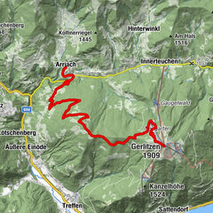
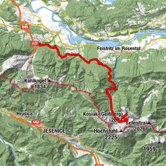
- Route
-
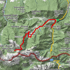
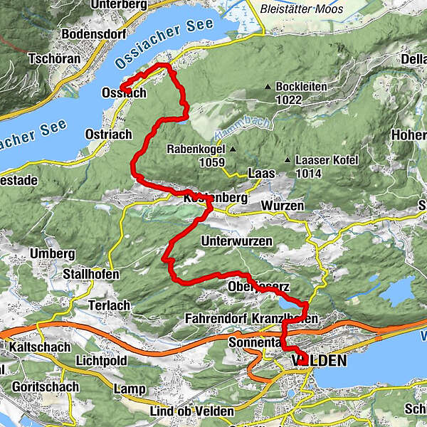
Ossiach (510 m)0.1 kmStiftskirche Mariä Himmelfahrt0.3 kmAlt-Ossiach1.7 kmSakoparnig6.0 kmBuschenschenke Winkler7.4 kmOberdorf7.8 kmKöstenberg8.1 kmGasthof Gröblacher8.1 kmGasthaus Glantschnig/Teppan8.3 kmFilialkirche Hl.Michael13.4 kmOberjeserz13.4 kmSaisserach14.0 kmGöriach14.9 kmKranzlhofen15.7 kmHeiliger Johannes der Täufer15.7 kmVelden17.2 km
- Best season
-
JanFebMarAprMayJunJulAugSepOctNovDec
- Description
-
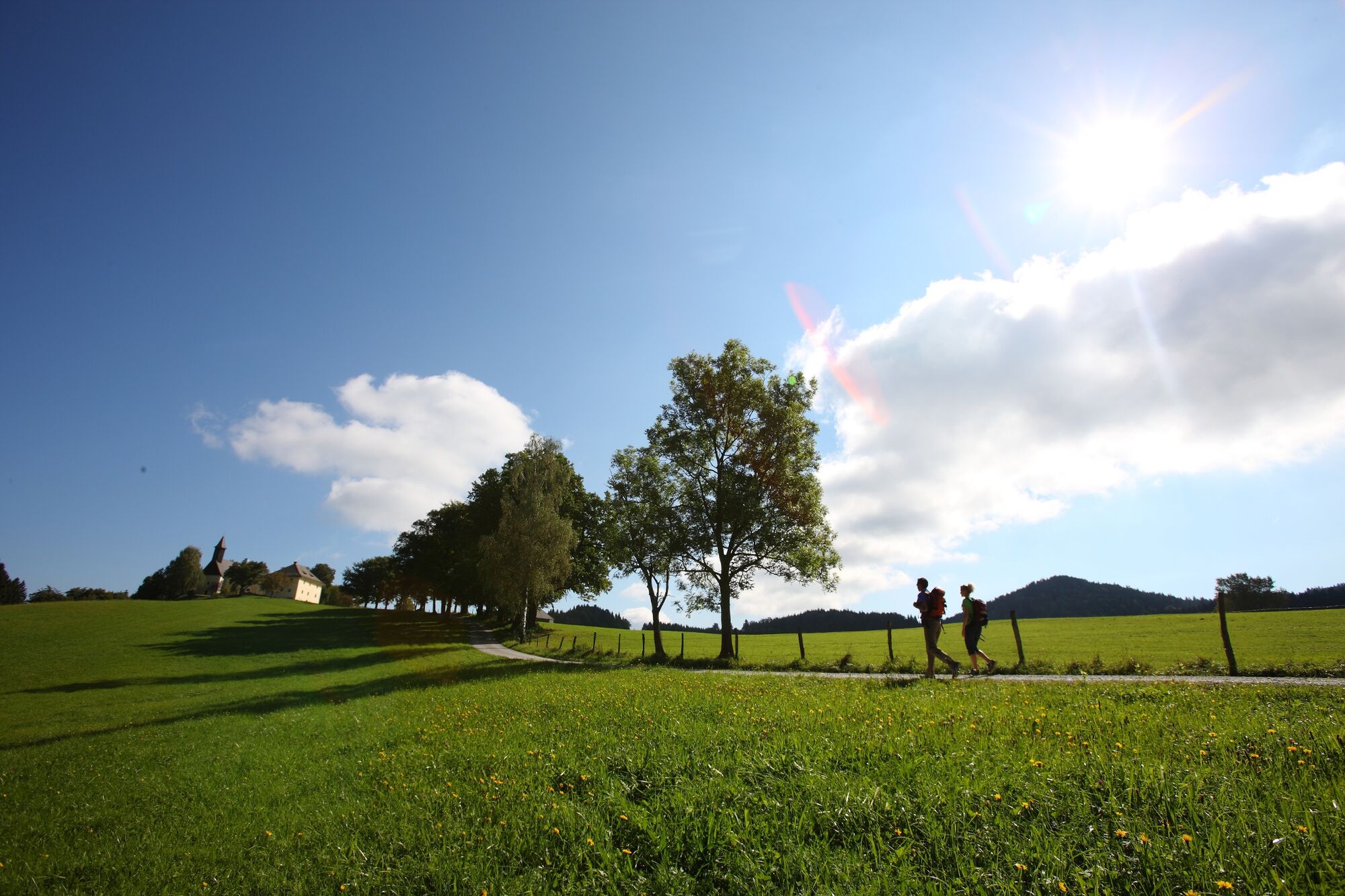
From the starting point, the historic Ossiach Abbey, the trail briefly heads back towards Alt-Ossiach and from there leads on via the Ossiach Gorge Trail up to the Tauernteich pond. After a rest by the idyllic pond, the trail is fairly level as it continues towards Oberdorf.
The subsidiary church of St. John the Baptist in Oberdorf was first documented in 1355. In the vestibule there are Roman stones from the surroundings, and some of the rare Roman gravestones are built into the walls. This is the most important collection of such artefacts in Carinthia. The former barn of the vicarage next to the church contains a museum of everyday history, which is worth visiting. The trail then leads to the ruined Hohenwart Castle. The once extensive and strongly fortified castle is one of the most interesting in Carinthia. The route then follows the Römerweg (Roman way). Wheel tracks can still be found in some places around the Römerschlucht Gorge.
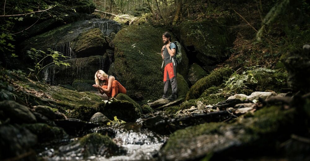
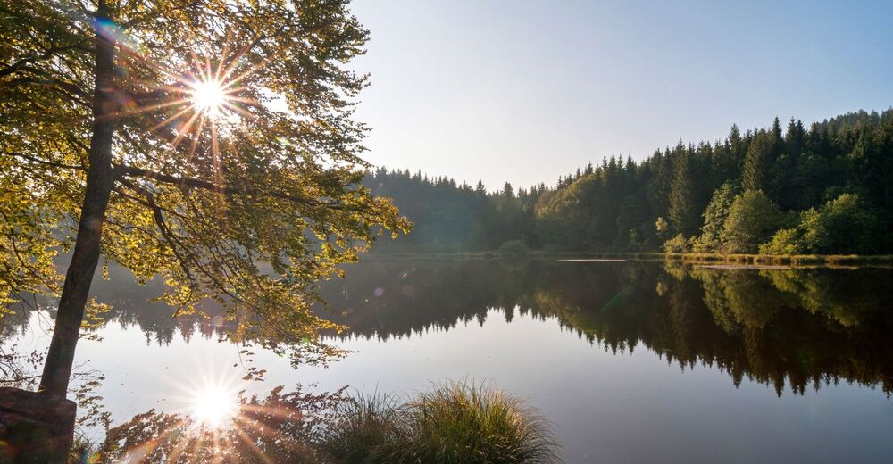
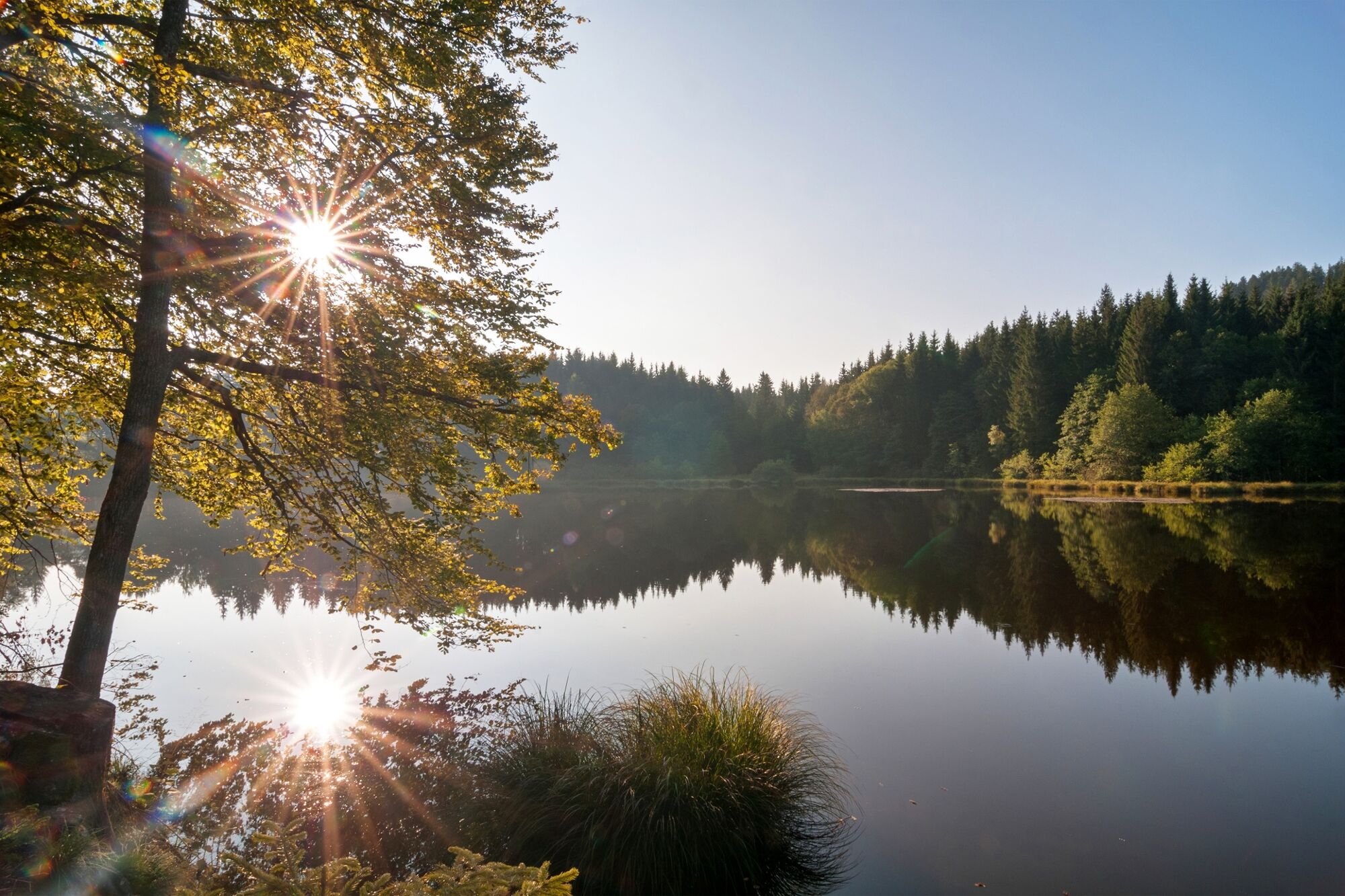
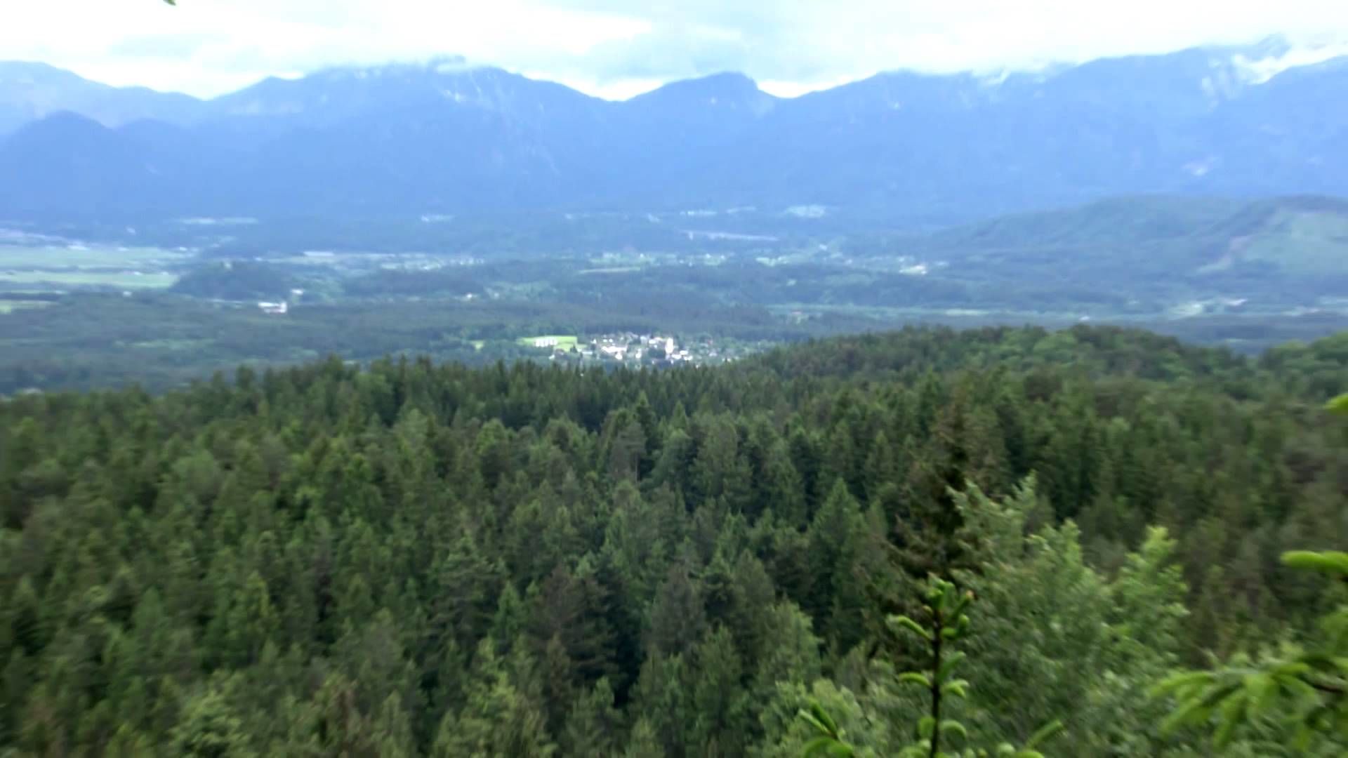
It is well worth taking a jump into the cool water of Lake Saissersee, also called Lake Jeserzer See. This private lake in a marshy hollow measuring only 6 metres deep is a popular swimming lake. Its slightly brown colour comes from the boggy soil around the lake. From the Veldener Kanzel, a popular resting place and viewpoint above Kranzlhofen, there is a wonderful view of Lake Wörthersee, with Velden and the Karawanken Mountains to the south. We then come to the church of Kranzlhofen and by its churchyard; the church is mainly Romanesque, while the 14th century apse is Gothic .
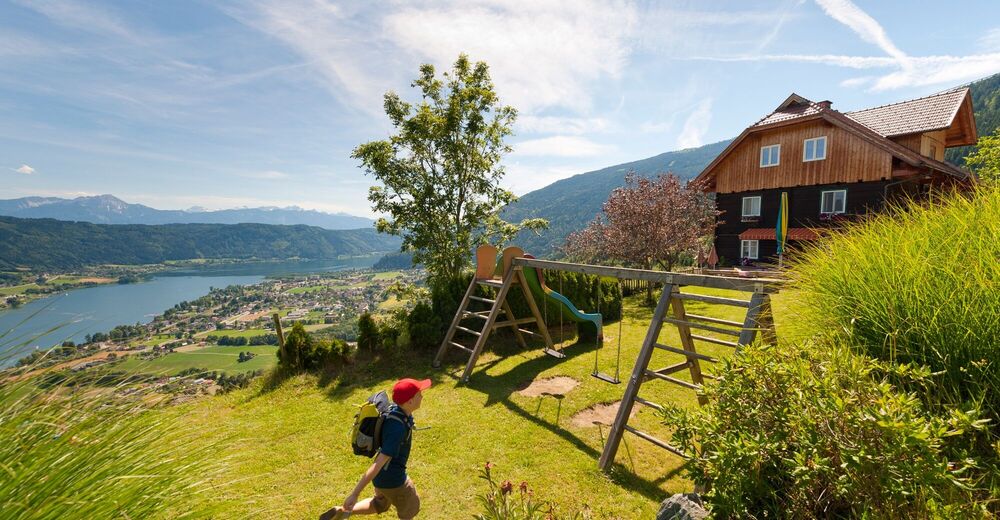
Via the Teufelsgraben, the first promenade trail, we come to the centre of the sparkling holiday resort of Velden. In Velden you should not miss the villas built in the Wörthersee architectural style, Velden Castle, and a visit to the Velden Casino. Velden also has a lot going for it in terms of unhurried holidays, since outside the centre there are countless hiking trails, fabulous swimming lakes and top class golf courses.
- Directions
-
From Ossiach Abbey we walk back south westwards towards the L 49 road which runs along the southern shore of Lake Ossiacher See. Shortly before the L 49 we turn off left onto a meadow path which runs parallel to the main road as far as Rappitsch. Here we cross the main road and walk further up the Ossiacher Tauern Mountains alongside a row of trees. The gorge trail runs southwards along a mountain stream and ascends steeply to the Tauernteich pond with a difference in altitude of approximately 350 metres, in part there are steps and wooden and metal walkways. This wild yet romantic trail leads us past an old ruined mill. Continuing on trail 5 – the Tauern Hiking Trail – we come to the Sarkoparnig inn with no major difference in altitude.
From Obersakoparnig we follow trail no. 2 to Oberdorf with its parish church and the Drabosnjakov Dom museum, then continue towards Köstenberg and on trail no. 3 to the ruined Hohenwart Castle. The Roman way, no. 2a, leads us to Oberjeserz and then on to Lake Saissersee. We hike along the shore of Lake Saissersee to the viewing platform in Göriach, where there is a beautiful view over Lake Wörthersee with Velden and the Karawanken Mountains to the south. We continue past the parish church to Kranzlhofen, and then hike slightly downhill all the time towards Velden. We come to the centre of Velden via the Teufelsgraben.
- Highest point
- 928 m
- Endpoint
-
Kurpark Velden
- Height profile
-


- Author
-
The tour ST20 AAT: Ossiach - Velden is used by outdooractive.com provided.