
- Brief description
-
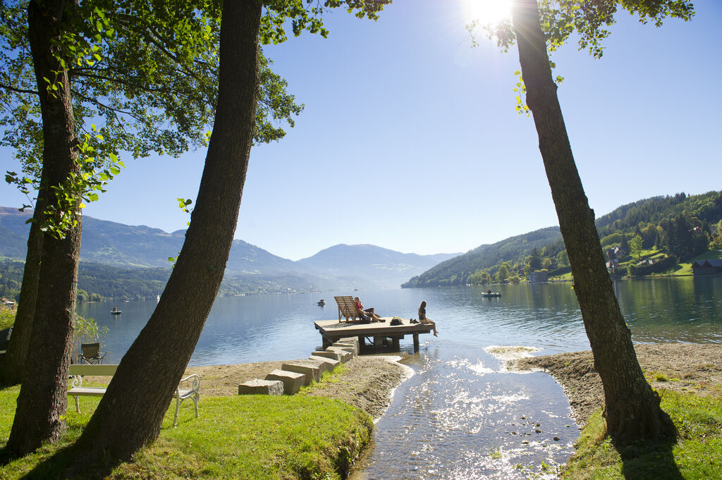
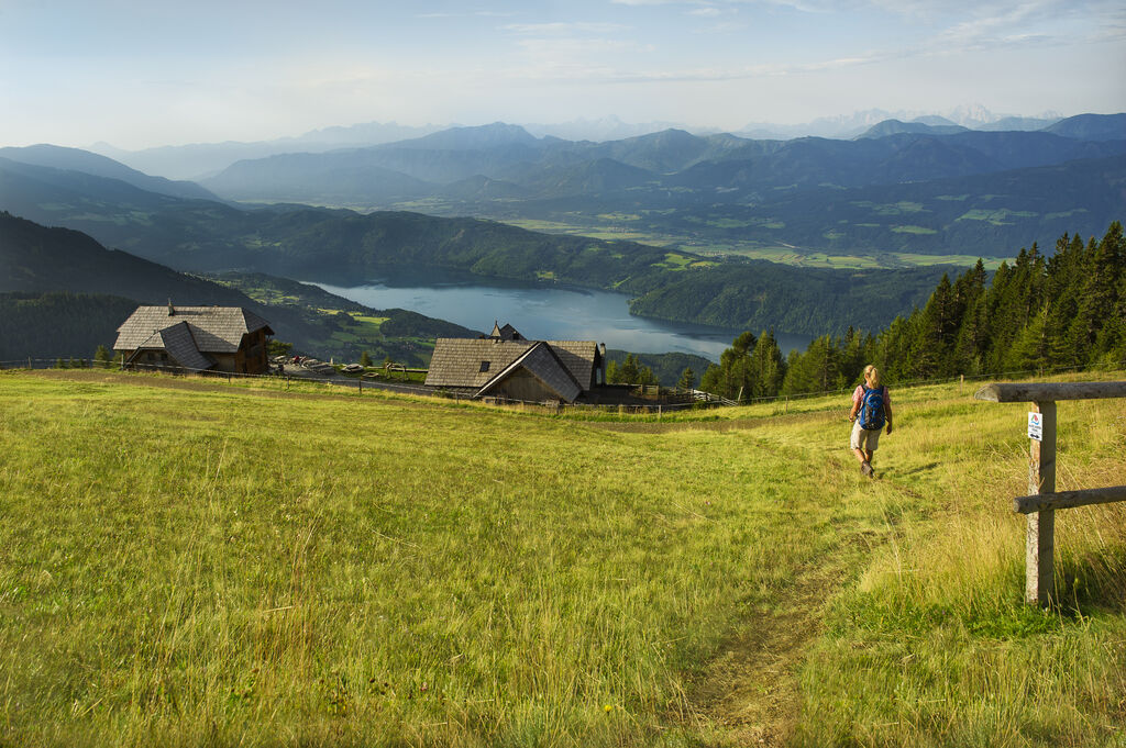
On this stage in Seeboden at Lake Millstätter See, you can look forward to the gently rounded Nockberge Mountains and traces of past “heathens” who are shrouded in legend. On the Tschiernock, as well as a whiff of the past, you can also enjoy the unique view of the glorious landscape.
- Difficulty
-
difficult
- Rating
-
- Route
-
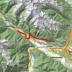
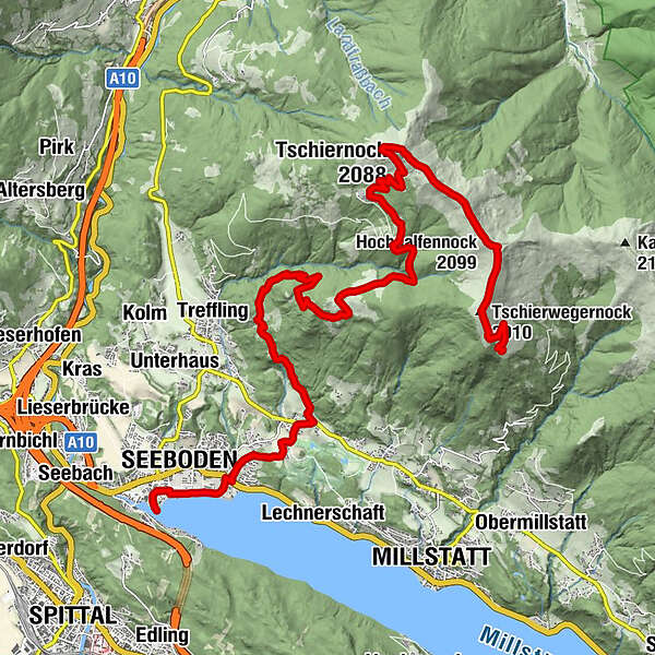
Seeboden (618 m)0.6 kmFilialkirche hl. Petrus3.7 kmTangern3.8 kmPichlhütte9.2 kmAussichtspunkt Tangerner Alm10.3 kmSommeregger Hütte13.3 kmTschiernock (2,088 m)16.5 kmHochpalfennock (2,099 m)18.6 kmTschierwegernock (2,010 m)19.9 kmAlexanderhütte21.4 km
- Best season
-
JanFebMarAprMayJunJulAugSepOctNovDec
- Description
-
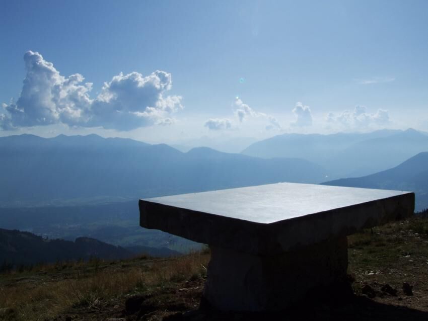
After a relaxed pilgrimage through the idyllic Seeboden, the trail heads back to the mountains. You will hike through the village of Tangern towards the Richlhütte mountain lodge at a height of 1,336 metres above sea level and on through lush, deep green forests to the Sommereggerhütte lodge at an altitude of 1,698 metres. The trail then continues along a reinforced gravel road to the Hansbauerhütte mountain lodge, on the trail of the “heathens” of the past. The route follows a hiking trail past the most beautiful place on this stage, the “Stone Table”, and leads via the Gamsbründelsteig path uphill onto the Tschiernock at more than 2,000 metres above sea level.
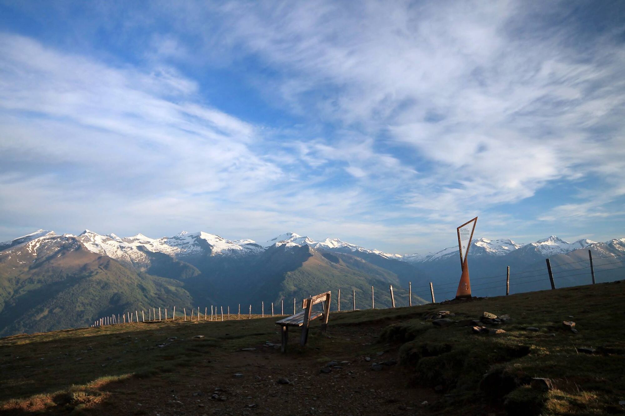
From the gentle summit of the Tschiernock the path, from which you can once again enjoy the charming view over Lake Millstätter See, leads via the Hochpalfennock and the Tschierwegernock to the Alexanderhütte mountain lodge with its wonderful views.
- Directions
-
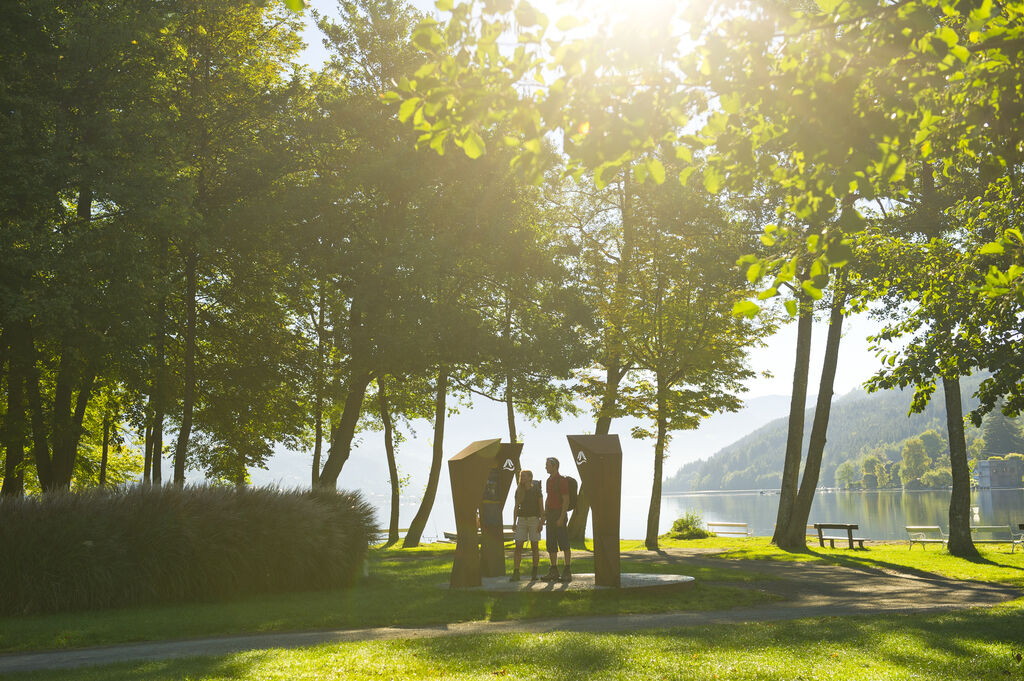
We start our one-day tour at the information centre in Seeboden and head eastwards along the lake promenade as far as the Klauberpark. By the multisport centre we cross the main road and climb up the Schluchtsteig path for a little to the Lindenweg path. At the bridge we first turn right into the forest and then walk across fields and meadows to the church in Tangern (jukebox and statue by Thomas Györi). We then continue along the village path through Tangern and after 300 metres we cross the main road.
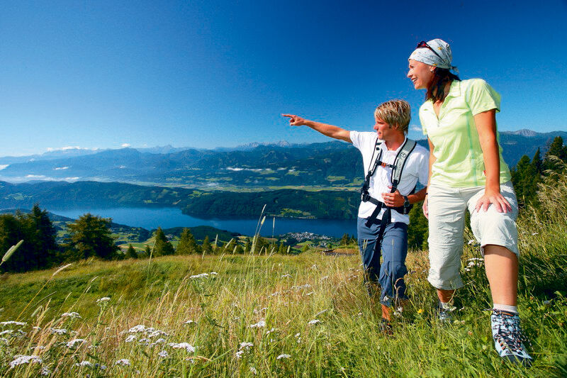
Now our hike leads us through the village of Tangern and via the last farm (commonly known as the Wornig) into the forest. After the first S-bend we enjoy the view over the world of the three thousand metre peaks. From here we reach the Pichlhütte lodge (1,330 metres) relatively easily in an hour. From the Pichlhütte it takes us around 20 minutes to reach the Tangerner Garten viewpoint with wonderful views down over Lake Millstätter See, the town of Spittal an der Drau, the Goldeck and in the south the mountains which form the borders with Italy and Slovenia.
From the Tangerner Garten we are on the Sommeregger Alm pasture within an hour, and another hour later we are on the Tschiernock, the first summit on the Millstätter Alm. Our 360-degree view extends as far as the Dachstein to the north, the Hohe Tauern to the west, the Carnic Alps and Karawanken to the south and the gentle heights of the Nockberge Mountains to the east.
The trail leads on to the “ Stone Table” : A mighty base of quarried marble, which gives the impression of always having been there, supports an outsize table top (1.90 metres by 1.20) made of Krastal marble, on which you can read the history of the “heathens” which has been chiselled onto the slightly polished surface of the Stone Table. The lettering is still slightly concealed and will only emerge clearly in the course of time as a result of weathering and natural changes. Thus the “Stone Table” will not only tell of the hard life of these fearsome “heathens” and remind us of their sacrificial sites, but also reveal its own history and gradually release its secrets year by year.
- Highest point
- 2,101 m
- Endpoint
-
Alexanderhütte
- Height profile
-


- Author
-
The tour ST12 AAT: Seeboden - Millstätter Alpe is used by outdooractive.com provided.