Karnischer Höhenweg – Etappe 6: Zollnersee Hütte - Nassfeld


- Brief description
-
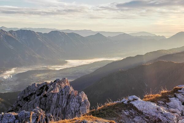
The Karnische Höhenweg or "Friedensweg" leads along the entire Karnische Kamm, which runs along the border between Austria and Italy.
- Difficulty
-
difficult
- Rating
-
- Route
-
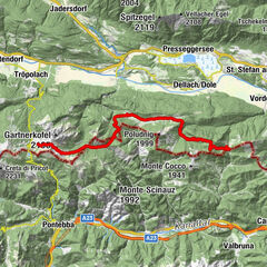
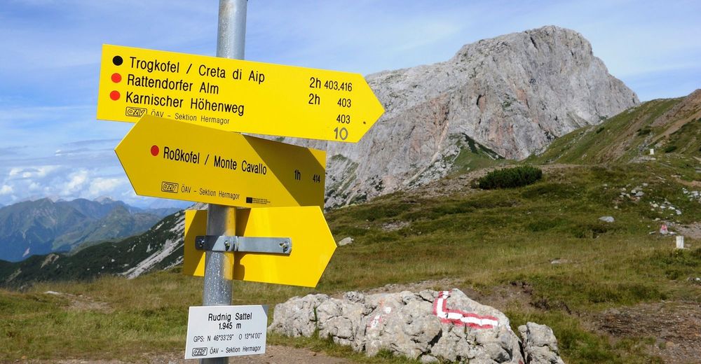
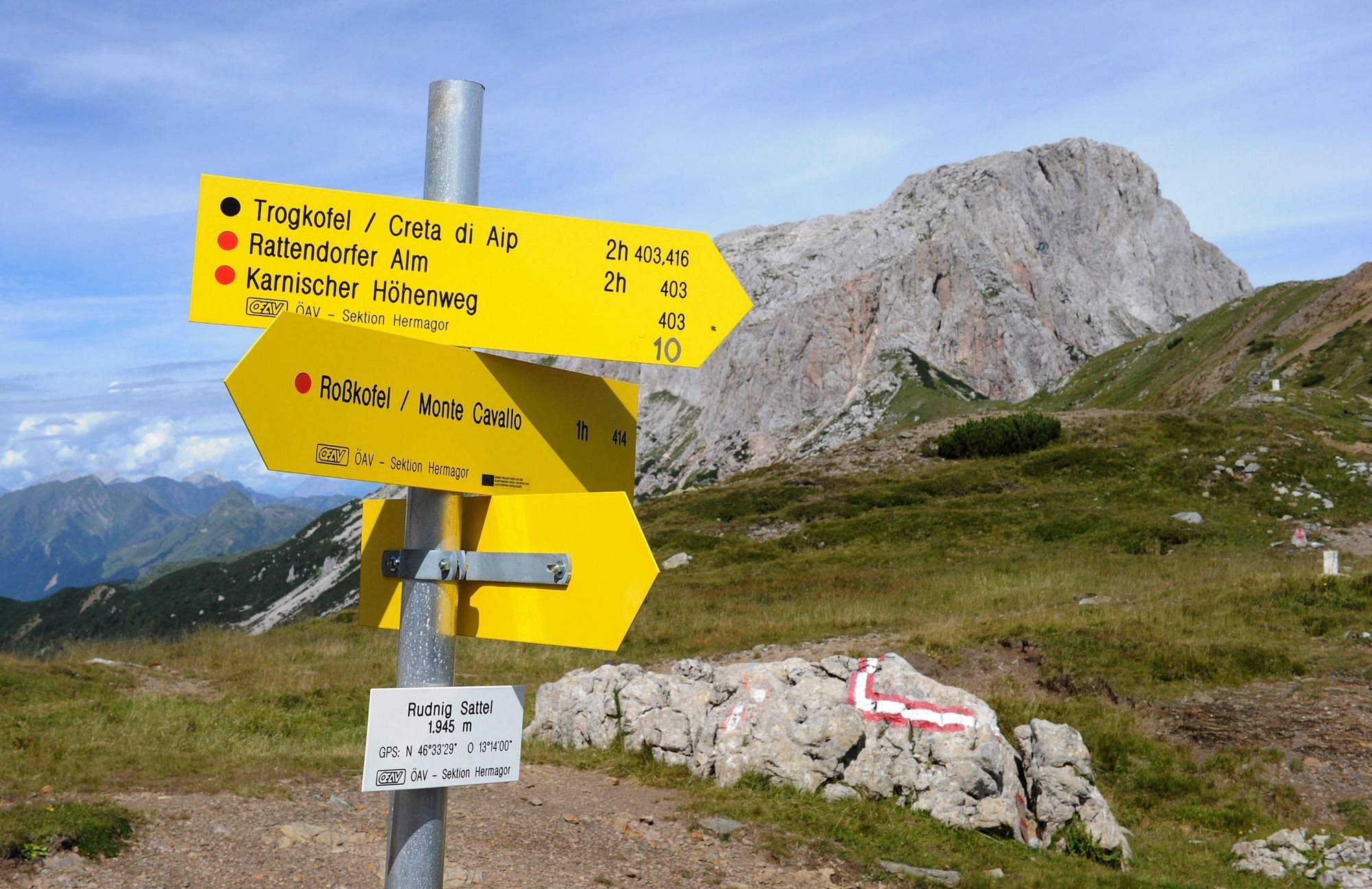
Lodintörl (1,871 m)3.6 kmHöhenlager Straniger Alm (1915-1917)5.5 kmStraniger Alm6.4 kmRudnik-Sattel17.4 kmSchwefelquelle23.0 kmPlattner23.7 km
- Best season
-
JanFebMarAprMayJunJulAugSepOctNovDec
- Description
-
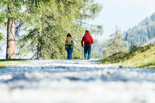
The Karnische Höhenweg is about 150 km long from Sillian to Arnoldstein and can be divided into 8-11 daily stages, a descent into the valley is (almost) possible at any time. Overnight stays in managed huts are sufficiently available.
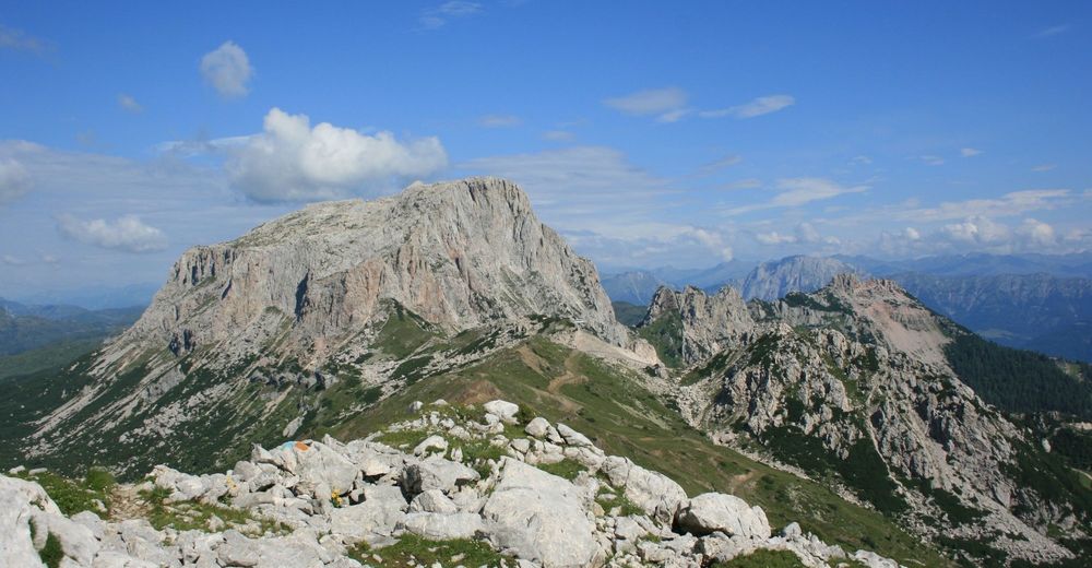
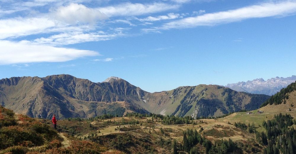
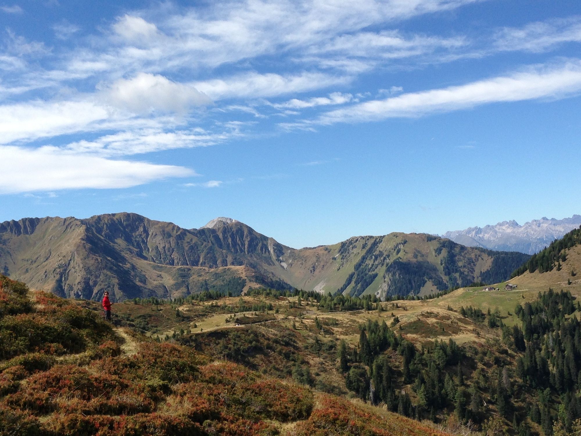
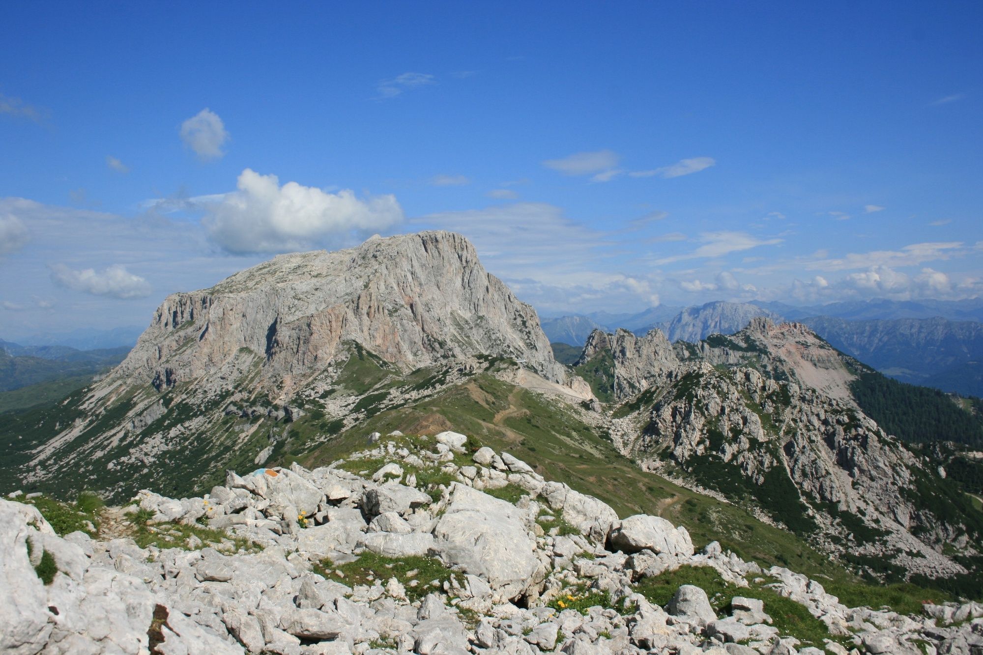
The somewhat longer section east of the Plöckenpass offers a gentle mountain landscape with extensive alpine meadows and easy hiking mountains. West of the Plöckenpass, the more interesting alpine section stretches along the highest peaks of the Carnic Ridge. The alpine long-distance hiking trail leads through a scenically extremely beautiful and varied area.
- Directions
-
via Rudnigsattel to Nassfeld 8.5 hours. Tip: Along the way there are refreshment stops at Gailtal alpine cheese dairies.
- Highest point
- 1,989 m
- Endpoint
-
Nassfeld
- Height profile
-

- Equipment
-
Checklist tips:
Sturdy shoes (hiking boots or mountain boots)
(Hiking) Clothing for all weather conditions: rain protection, hats, gloves, ... (according to the season)
First aid kit
Money
Cell phone or radio
Hiking maps
Backpack
Sun protection and sunglasses
Flashlight or headlamp
Catering (drinks, water bottles and possibly food)
Toiletries
ev. hiking poles
... - Safety instructions
-
Mostly alpine terrain, especially in the western part of the Karnischen Höhenweg. Sure-footedness, freedom from vertigo and the ability to climb easy climbing sections are required. Conditionally partly very demanding.
- Tips
-
In addition to the conventional route, summit ascents can also be included. Especially recommended: Small / High shoot and Zollnersee round trip.
- Additional information
- Arrival
-
- from Weidenburg via Gratzhof to Rossa Alm (driveway) 30 minutes
- from Goderschach to Straniger Alm (driveway) 1,5 hours
- from Kronhof near Weidenburg via Untere and Obere Bischofalm 4 hours
- from Nölbling via the Nölblinger Grabensteig 3 hours
- Public transportation
- Parking
-
Parking available.
- Author
-
The tour Karnischer Höhenweg – Etappe 6: Zollnersee Hütte - Nassfeld is used by outdooractive.com provided.