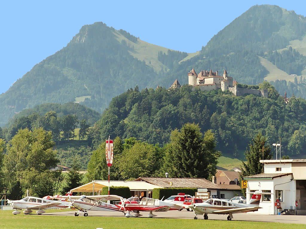
© Castella Sports - Aérodrome de la Gruyère

- Brief description
-
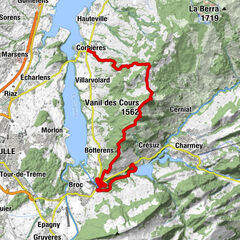
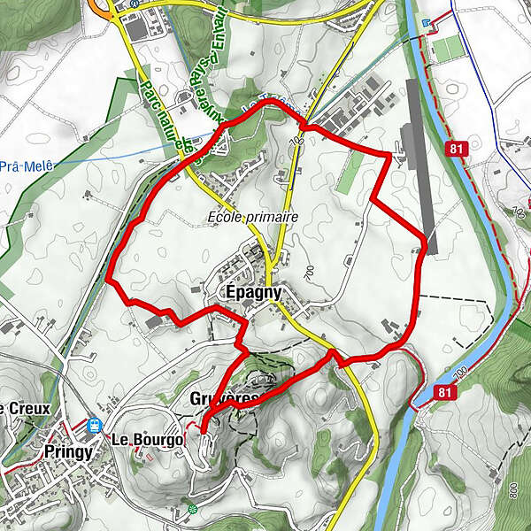
Jolie petite ballade au départ de Gruyères en direction de l'aérodrome et retour à Gruyères.
- Difficulty
-
easy
- Rating
-
- Route
-
Gruyères (810 m)0.2 kmSaint-Théodule0.3 kmÉpagny5.0 kmGruyères (810 m)5.6 km
- Best season
-
JanFebMarAprMayJunJulAugSepOctNovDec
- Highest point
- 804 m
- Height profile
-
 © outdooractive.com
-

-
AuthorThe tour Gruyères - Aérodrome - Gruyères is used by outdooractive.com provided.
GPS Downloads


General info
Refreshment stop
A lot of view
Other tours in the regions
-
Alpes Vaudoises
998
-
La Gruyère
307
-
Gruyères / Greyerz FR
42