


- Brief description
-
the first part is a steep alpine route / the second part is a steep mountain trail
- Difficulty
-
medium
- Rating
-
- Starting point
-
Scex Rouge (2'940 m)
- Route
-
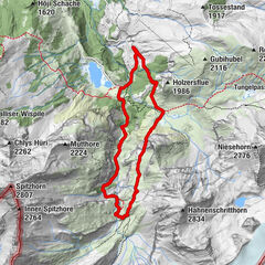
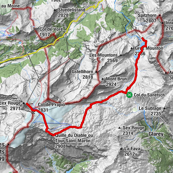
BottaCol de Prapio (2,831 m)0.6 kmRefuge L'Espace2.7 kmAuberge du Barrage du Sanetsch13.4 km
- Best season
-
JanFebMarAprMayJunJulAugSepOctNovDec
- Description
-
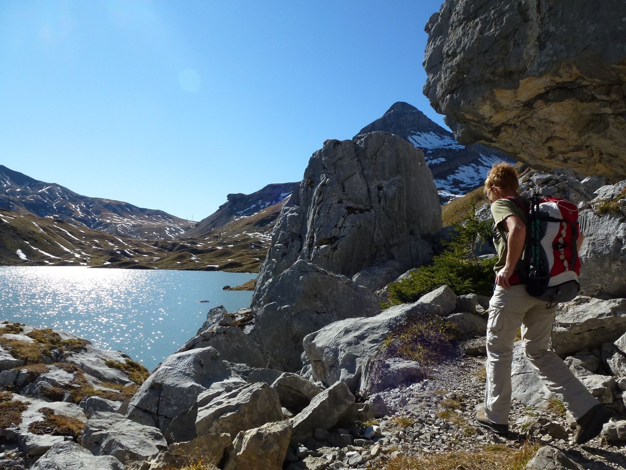
The varied route follows the source of the Saane and leads from the Scex Rouge mountain station over the glacier via Quille du Diable to the Sanetsch Pass and Sanetschsee. Enjoy unique insights and views into the world of water and ice as well as a diverse flora and fauna amidst the rocky landscape. The mighty Valais Alps from Mont Blanc to the Matterhorn form the overwhelmingly beautiful backdrop. The hike is suitable from July to September, depending on conditions.
- Highest point
- 2,916 m
- Endpoint
-
Sanetsch (2'062 m)
- Height profile
-
 © outdooractive.com
 - Directions
-
Glacier 3000 is easily reached by car from the Lake Thun (Spiez), Lake Geneva (Aigle) and Gruyère (Bulle) areas.
- Public transportation
-
The are two main routes to get to Les Diablerets or Gstaad, from which the Postauto departs to Col du Pillon on a regular basis. The route from Geneva via Lausanne, Montreux and Aigle takes you to Les Diablerets. The route from Zurich via Bern, Spiez, Zweisimmen takes you to Gstaad.
- Parking
-
You will find a large lot with free parking next to the Col du Pillon cable car station, located directly on the mountain pass road between Gstaad and Les Diablerets.


- Author
-
The tour Scex Rouge - Sanetsch - Gsteig is used by outdooractive.com provided.


General info
-
Thyon les Collons
1440
-
Coteaux du Soleil
614
-
Gsteig bei Gstaad
170